Cairns at Sand Dollar

140125-cairns-1

Big Sur Month 11, part 2: The rock stacks

140125-cairns-2

One of the surprising things from my beach and Big Sur adventures were the number of rock stacks we came upon. So many of the beaches I went to were rocky and so many of them had cairns. Even when Steve and I were the only ones in sight, the only ones on the trail, the only ones upon the beach, we’d still often come across a cairn or three (or twenty).

Sand Dollar was no exception.

140125-cairns-3

I especially loved the echo of the sea stacks in the rock stacks. Sentinels on shore, sentinels at sea.

140125-cairn

140125-cairns-5

140125-cairns-5

140125-cairns-5

Sand Dollar in January

140125-6-3surfers

January 25, 2014. Big Sur Month 11.

Sand Dollar beach is at the south end of Big Sur, “across the street” from Plaskett Creek (my favorite camp ground). It’s one of those beaches that changes dramatically with the tide and the seasons. Sometimes a wide expanse of sandy beach. Sometimes only rocks and bank.

140125-3-hikedown

I added quotation marks to its proximity to Plaskett, because it’s really the parking lot that is across the street. The beach requires a meander of a walk and steep stairs that take you down to the beach itself.

140125-4-trail

We caught it on a subdued day. Everything muted, quiet; muffled by the cloud cover. There was a sense of aloneness, even with others around you. The ocean and the clouds loomed large, creating a sense of smallness to everything else.

140125-7-instagram-sanddollar

140125-steveonarock

Steve and I took different beach routes. He perched on this rock, taking photos and making movies of the ocean and the waves. I walked south, underneath the cliff wall.

The south side of the beach — precariously rocky — was underdevelopment. A subdivision of cairns erected everywhere you looked, echoing the sea stacks in the ocean.

140125-cairn

140125-5-cliffers

140125-9-three-fishermen

140125-8-grom-sand-dollar

Ragged Point, approaching winter

Aloe and coastline
Month 10 and technically, well, I will admit that we went on November 30th, so there were two trips in November. But December was crazy (almost a week in SF, holiday bru ha ha, Christmas, New Years and yadda yadda) so I’m glad we went a little early. And we didn’t venture far north, just Ragged Point.

Ragged coast line
There is no clear definition of where the southern most part of Big Sur starts. Big Sur the town is quite tiny and quite close to Carmel, hours away from us. The Big Sur coast, on the other hand, is 90 or so miles of rugged, curvy coast line. Some think it starts at the Monterey County line (which would be just above Ragged Point). Others say Ragged Point. Other others say San Carpoforo. Still, other other others say San Simeon.

Perhaps all of these others are SLO County residents.

trees
Before I started my Big Sur a Month challenge, I considered somewhere around Salmon Creek as Big Sur. About two months into the challenge, my consideration began to slip southward. Now I embrace San Carpo as the beginning of the Sur.

trees
Ragged Point has been a fun afternoon jaunt for me and my family for about 15 years. It’s a beautiful drive and you still have radio stations and there is a cafe where you can get a burger and some fries and a shop with hippy-arty Big Sur goods.

lawn
And there is a gorgeous lawn that sports several adirondack chairs. It reaches out to the cliffside where you can gaze and marvel over the Pacific.

running on the lawn
It’s good for all ages, those that need help walking as well as those who need to run and jump and stretch their legs after hours in the car.

playing soccer at Ragged Point
The landscaping is gorgeous. Drought tolerant, mediterranean types of plants and succulents: pride of madeira, bougainvillea, and aloe that blooms in the winter all of which heartily welcome bees, monarch butterflies (fall, winter, early spring) and hummingbirds (year round).

Monarch
There is a steep cliff walk that goes to the beach at the base of Ragged Point. There is a waterfall (one of four on the Big Sur coastline.). I’ve never made it all the way down. Steve and I tried again on this trip, but the poison oak was too rampant and reached across the trail too far and too often. Our fear of blisters and incessant itching won out and we turned back not even halfway down.

butterflies

bees and butterflies
On the way home we pulled out just above San Carpoforo (where’d we been just a few weeks before). It has cut down pine trees (bad beetle is killing these trees) whose stumps act as handy bar stools. We sat and shot photos and took it all in.

Stopping above San Carpoforo

Crouching to take the photo

Looking at San Carpoforo from above

Sitting and looking

me, month 10 in big sur

San Carpoforo

Week 33 and the last beach of the challenge.


Steve made the movie. I love it. It’s perfect. If a picture is worth 1000 words, a video is worth an entire blog post.

The beautiful, vast beach at San Carpoforo
San Carpoforo. Some consider it the southern-most tip of Big Sur. Vast. Wide. Big. Gorgeous waves. Gorgeous beach. Driftwood city. Sea anemone paradise. I love this beach. I love this beach. I love this beach.

Hike entrance at San Carpoforo
You park on Highway 1, a few miles north of Piedras Blancas. The beach itself is at the end of San Carpoforo canyon and creek. It’s a medium walk through chaparral, then along the creekside that peters out before it reaches the ocean.

Plover posted: yield to the plover
Snowy Plovers, little miniature birds just six-inches tall, lay their eggs on the sand and, consequently, rule Central Coast beaches.

driftwood along San Carpoforo creek
The beach is a great one for driftwood. And driftwood architecture.

Driftwood hut
Driftwood and sea rocks. Rocks. Big rocks. A cove of them.

Big rocks in a cove, cyprus on an outcrop

from the rock cove, looking north this time

Rocks on the beach

rocks out to sea
Maybe you can’t tell from this photo, but it was a super low-tide. These rocks? Probably not exposed often.

location of the hanging anemones
Case in point: the underside of these rocks was lined with hanging sea anemones.

hanging anemone
Hanging sea anemones… like something from a science fiction marine biology field trip.

beach creation
While I explored the intertidal zone, Steve made a driftwood/kelp beach installment.

beach, looking south again

long, tall beach shadow

walking back to the car
Walking back to the car, the sunsetting behind us cast a pretty glow on the hills to the east.

cyprus, part green, part dead, colored by sunset
As well as on this cyprus tree. I liked the play of brown, dead limbs, green living limbs and the orange cast from the sunset.

sunset over the pacific
A beautiful sunset was the perfect ending to the day and a perfect ending to my Beach a Week venture.
Me, Week 33 at the beach

Jade Cove, Big Sur

looking out over jade cove
Week 32 (beaches). Trip 8 (Big Sur). With only two beach weeks left to complete my beach-a-week goal (running March through the first weekend of November) and needing to hit the monthly Big Sur goal as well, we set out to visit Jade Cove. It lies toward the southern end of Big Sur between Willow and Sand Dollar. While it boasts a name that sounds like you might hit a sweet bounty, the easy-to-find jade was gathered decades ago (or so it seems to me.). Still, it’s worth a visit if only to boast of the rope-required descent or to test your semi-precious stone-finding capabilities.

At Jade Cove, looking south
First of all, the hike. It starts out on a marine terrace, a dusty flat trail densely bordered by chaparral. This, to me, is the quintessential Central Coast hiking experience.

Top of the trail
But the hike to Jade changes quickly at the cliff’s edge.

Trail, cliff edge
Stairs help you navigate what could have been a tricky steep bit.

stairs down
From here on out it is a narrow-ish trail along the hillside, leading you down to the beach in a series of long switchbacks.

trail down hillside
It’s not too steep, not too precarious (until you get to the rope).

switch back
The very end of the trail is very steep and you will need to use a series of ropes to reach the beach. This looks difficult, but it really isn’t. In fact, the rope makes it much easier. (I wish more trails had them.)

rope down
Bonus: it makes for a dramatic photograph. Your friends will be impressed and you might have a nice feeling of adventure and accomplishment.

rope bottom
It was near high tide when we got there, so the beach that was available was small and rocky. I perched on an outcropping for most of the afternoon and just watched the waves lap the coast line as the ocean came in.

rocks out to sea
Steve, meanwhile was on the hunt for something interesting: an interestingly shaped rock, little piece of jade, maybe some moonstone.

102113-jadecove13k
Below you can see how little beach was available to us, and how rocky it was as well.

the rocky beach
Back up at the top of the trail, looking southwest across the marine terrace.

across the marine terrace
Jade Cove’s name may conjure grand plans in your rock-hunting mind. Maybe you will be a better rock hunter than me, and make the find of your life. If not, no worries. You’ll have a remote beach adventure and a sense of the rugged California that once was, and still is, in little pockets like this.

Me, Week 32

An Amazing Dinner at the Big Sur Bakery

agave reaching
Just a week and a half after falling and breaking my arm I went back to Big Sur. My mom and I have a tradition: Big Sur on our Birthdays. Hers is in May, mine’s in September. These trips tend to be great anchors to the beginning and end of summer. We’ve been doing this since I was in my late teens or early twenties. And every trip (every. trip.) includes a stop at Nepenthe.

over the nepenthe patio
We are fans of both Nepenthe and its prodigy. We find the Fassett family fascinating. We each have the Nepenthe cookbook written by one of the Fassett granddaughters (it’s awesome; you should get it.). I gave my mom one of Kaffe Fassett’s knitting books as a gift. And for my birthday, my mom made me a lap quilt from Kaffe Fassett fabric.

The Fassett’s still own and operate Nepenthe. Decades before, this spot was owned by Orson Welles and Rita Hayworth. It’s been visited by dignitaries, luminaries, celebrities, artists, vagabonds, and hustlers. It’s a jewel, I’m sure, to Big Sur locals. The food is pretty good and pretty pricy and the view and surroundings make it worth every penny.

Fassets sign
But on this trip we simply stopped to browse and shop at The Phoenix Bookstore (always great things there) and perhaps have a piece of (birthday commemorating) pie at Cafe Kevah. (Note to those who’ve never visited: the umbrella photos are of the Nepenthe patio, not of Cafe Kevah.)

Umbrellas of Nepenthe
Alas, there was no pie at Cafe Kevah. We considered having a scone and a cup of coffee, but for whatever reason, I think we both felt compelled to keep traveling north, though we had no destination in mind.

the foggy sunny day
Mom suggested eating in Carmel and we both thought this was a great idea. However, we didn’t find the right place there either. We took in the beach, got our feet sandy and wet, and wound up back in the car driving south, still hungry and seeking that perfect place to eat.

And I’m so happy to tell you that we found it: the Big Sur Bakery.

reflection of the santa lucias
I’ve been circling this place for the last year, mostly trying to get a loaf of bread. But they sell out. Often. Or every time I tried. In June Steve and I had lovely pastries and tea. A step in the right direction for sure. But this — on my birthday trip — proved to be the day when it would all come together: bread! dinner! cake! and an amazing waiter who made us feel special and well taken care of. Seriously, it was perfect.

Loma Vista sign
But first I will show you around the place circa magic hour. The sign that welcomes you from parking lot to garden.

Garden Shed
The gift shop that has artsy-farsty touristy things you should buy.

Surroundings
The view of the hills from the garden (and gas station).

flower
Flower and vine and grasses and shrubbery, setting the tone.

garden shed
A look back on the garden shed. (Seriously, I think I’m in love with this place.)

view from our table
The view from our table.

We chose to eat outside on the patio even tho it was quite chilly (this is where the lap quilt my mom had just given me came in handy. I wrapped around my legs and lap.). But the light was pretty and the setting so nice; how could we not?

the amazing bread
The Big Sur Bakery doesn’t serve tapas, but we took a tapas route in our ordering, sharing everything. First up: the bread board. I’m sorry. I mis-wrote. Ahem: THE PERFECT MOST AWESOME DELICIOUS BREAD BOARD IN THE HISTORY OF BREAD BOARDS.

Then there was the dinner and I did take photos, but none of them turned out (the light was getting lower). We chose sides: a side of carrot sauce + heavenly vegetables + quinoa and mashed potatoes a la St. Peter’s Gate (okay, I’m paraphrasing). My mistake was not writing the names of the dishes down. Instead, this is what I will tell you: healthy ingredients bathed in mouthwatering delight. Our dinner was all oohs, ahhs and mmmms.

the cake
To top it off, we had an amazing waiter. You know the kind: charming but not cloy. Attentive, but not hovering. Sweet, professional, witty: all three. He really took care of us. When I asked if they had dessert he kind of had to muffle a chuckle. “We are a bakery,” he said with a sly smile and then brought out a piece of chocolate cake I will talk about for years.

post cake
My friend Rob made an off-hand remark online the other day about always showing his and his wife’s before-dinner photos — when the tables are pretty and the food untouched. He balanced things out by showing a true after photo: everyone satiated and the table a mini-shambles. This prompted me to get an after-the-cake photo. Still looking good, though, right? No shame in polishing off that one. (Okay, truth: mom and I split the cake, too.).

All this to say: go to the Big Sur Bakery for your Big Sur meal. Go go go. Make a reservation or wait in line. Do it. It’s delicious, it’s worth every penny, and the people that work there are nice. The view is nice, too.

Thanks to my mom for being my partner in Big Sur Birthday traveling. I love this tradition.

Me, Month 7

Big Sur in August, Part Two

View from the Tanbark Trail
Month 6. August 28, 2013. I think there are three reasons why it has taken me so long to write this post. One, I broke my arm on this trip; two, there were a ton of smaller posts posted; and three I broke my arm on this trip. The arm breaking (though a very small break and almost entirely healed now) kind of messed with my head. I found I didn’t want to take photos (anywhere of anything) and I really resisted hiking. And I resisted blogging. Funny how the subconscious mind works.

coast view
But this day in Big Sur was beautiful. In full summer fashion, it varied between quite foggy and partly foggy with a chance of meatballs. You know what I mean. It was foggy and then the sun would peak out and then the fog would say “oh no you didn’t.” Back and forth and back and forth and on this day I think the sun mostly won.

the fog wall, coming in
The highlight was definitely hiking the Tanbark Trail and there are blog posts up about that. See the hike post, the tin house post, the burned trees post and the bear sighting post. The hike was perfect and my favorite hike of the season.

Learning more about the Basin Complex Fire was chilling, both on the reach and magnitude of the fire as well as the turn of events at Tassajara where the monks were left to defend themselves on their own. It could have turned out a terrible tragedy, but the monks fought a good fight and saved (most of) their land. There is a book about it.

three whale spouts
And finally the whales. It seems as if it’s been whale season since I started my monthly Sur Sojourns last March, but it isn’t true. No whale sightings at all in April. But come June, July, and August? Whale mania! What’s not to love?

flipper slap
It was the whales that coaxed me out of the car that last time and prompted me to stand on that shaky berm just north of the rock shed. My own fault. I just wanted one last glimpse of them and a glimpse I got.

And then I fell. And I broke my arm.

A few days later, while at home and still pumped up with painkillers, I felt like I needed to get back to Big Sur immediately to prove that it did not get the best of me.

And so I did return just a week and a half later (sans pain killers; no longer needed). That post is coming soon.

out there are whales

Me, Big Sur month 6

Whales, Rain Rocks and a Broken Arm

Pitkins Curve and Rain Rocks and the Big Sur coastline
I want to preface this post by saying that the stretch of Highway 1 through Big Sur is known as The Scenic Crawl. On these 100 or so odd miles of twists, turns, and cliff-to-sea vistas you will find tens, maybe even a hundred, turn outs where you can pull over to let faster cars pass or get out, stretch your legs, and take in the views.

Hundreds of people do this every day. Often you see them standing on top of berms in order to get a better look. This is so common that it becomes a part of the Big Sur experience, both seeing it and doing it.

people on berms looking out to sea
We had spent the day in Big Sur hiking the Tan Bark trail and traipsing along the coastline (posts to come). We’d caught glimpses of whales while on our hike — big spouts of spray shooting up into the air, even though the whales themselves were a mile or so out. Despite being so far away, a whale siting is still exciting, still worth a finger pointing out to sea, and still warrants a cry of “whale!” ensuring your hiking partner has seen them as well.

whale tail and dorsel fin
As we drove home we saw even more glimpses of whale activity and pulled over in three different spots to marvel at these creatures and our luck at seeing them, regardless of how far out they were.

whale back
For our third stop we used a turn out just north of the huge construction site for Pitkins Curve and Rain Rocks. We’ve been eagerly charting this development for a couple of years, marveling at the work. Stopping here was exciting to me because not only would I see whales and the beautiful fog over the ocean, but I would finally have the opportunity to take some shots of the construction site.

Rain Rocks and Pitkins Curve
Note the very large boulders below the rock shed. THOSE CAME FROM UP ABOVE. Just a couple of examples why this rock shed is so important to this part of the coast. Prone to regular landslides and rockslides, Rain Rocks and Pitkins Curve, when damaged, can shut off the road for months at a time. Not only cutting off access for tourists, but isolating residents as well. (See Big Sur Kate’s blog for insight from a resident.)

turn out, looking north
While there was a turn out here, it wasn’t a “nice” turn out. It is rough. I guess it should be, considering this is a landslide zone. The earth itself is made up a type of sandstone known as greywacke, a crumbly, unstable type of soil. If I had known about its properties beforehand, perhaps I would not have chosen to stand upon the berm at this location.

Construction site at Pitkens Curve and Rain Rocks
As I stepped up, I made a mental note that it was not hard packed like the berms at other locations. My feet sunk into the dirt a half-inch or so. The site was dusty and gritty. I stood squarely on top and it didn’t feel unsafe, but, as there was a sloping cliff directly below us that plunged hundreds of feet into the Pacific Ocean, I did stay mindful.

Below you can see what this coastline looks like (photo from the blog post Rain Rocks | The Coast Road). We were standing about one-half inch to the left of the Pitkins Curve arrow. There is a small dark-ish spot near where we were standing.

pitkins-location2
Out to sea there were about seven whales spouting and breaching and slapping their tails. The fog bank put on a show, too.

looking out to sea

fog bank
After a few minutes we decided to get back in the car and continue our trip home. Even though SLO was only 70 miles away, the crooked road and slow speed limit slows you down. It would be another two hours before we’d get home.

Looking south again towards Rain Rocks
The berm where I stood was maybe three feet high. It took a step or two to get up and it would take a step or two to get down.

The dirt gave way, though, when I took my first step down. I tried to find my balance, but couldn’t. It wasn’t one of those slow-motion falls; it was a fast-moving crumple. As my feet couldn’t get their bearing, I just collapsed in a hard-hitting stumble-fall towards the road.

Steve was by my side in an instant. One of my sandals was three feet away (how did that happen?). My keys had pitched from my hand (and we were both so happy they didn’t go over the cliff). I stayed very still for a moment, both gathering my wits and making sure I was okay.

I was rattled, but I was okay. Adrenaline is a wonderful thing. My right hand had a giant road rash and started bleeding right away. My arm hurt, but I could move my fingers. I could stand up. I got my sandal back on. Steve grabbed my keys. It was a close one. But I was okay.

We drove straight to my doctor’s office stopping only to see if we could find some painkillers (nope) or some ice (thank you Ragged Point!). We learned later that I had a minor fracture (a nondisplaced transverse ulna fracture) that my doctor said couldn’t have happened in a better location. I got a splint. I got some heavy duty pain medication and I headed on home.

Even though it was just a little spill with just a little injury, I realize it could have been so much worse. I feel grateful that I fell toward the road and not the cliff. I feel lucky that it’s only a little fracture and not a compound doozy. I feel thankful that Steve was there not only to drive us home, but to soothe and take care of me. I feel a little stupid and cavalier for taking frivolous risks so far from home and help. It’s a fine line between smart and scared, between adventurous and idiotic. I’d like to veer on the smart and adventurous side.

I go see the orthopedist soon. My bet is that I will stay in the splint and not need a cast. I’m a little sad I won’t be able to take yoga classes or lift weights in the weeks to come like I was planning, but really, I’m just happy to be safe and on the mend.

Little stops: coves, coffee and condors

Surfers heading down to the beach

The day was overcast — the sky heavy with a low-lying fog supported by a stubborn and relentless marine layer.

The visible marine layer

We headed up the coast with absolutely no agenda. It was strange to head north not knowing what we really wanted to do. Would we hike? Hit up a beach? New places? Old favorites? We just didn’t know.

There were, however, a few spots we had missed before. Not “activity” spots (e.g., not some great hike or beach or café), but random signs or overlooks or gates — those spots that always catch your eye as you speed by before you realize “damn we should have pulled over.”

With no agenda in mind, we realized it could be the perfect day to try to remember where those spots were, pull over and snap a photo or two. That became our mission.

The hidden bench

One of our first stops was just to take a picture of the beautiful horizon that seemed to meld into the marine layer — glowing shades of silvers and blues. Steve almost immediately noticed a hidden bench, tucked behind two boulders. You can read about this (and see the video of my fear) in the post The Hidden Bench that Scared Marya.

this is the hidden bench you can kind of see it's not safe here this is my scared face

Partington Cove

Partington Cove was definitely one of the spots Steve had noticed before. He wanted to know where all the people were hiking down to. It turns out there are two hikes: one on the ocean side (Partington Cove) and one on the inland side (Tan Bark Trail & Tin House). We chose ocean, but we’ll be doing the other hike very soon. Check out the blog post Partington Cove to read more about it and to see all the photos.

Woman with the pink hat The tunnel to Partington Cove Coastal redwoods

Coffee at the Henry Miller Library

We love the Henry Miller Library. We stopped for coffee.

hanging out with steve Statue at the Henry Miller Library, close up books hanging from the rafters

Hawthorne Gallery

The Hawthorne Gallery is one beautiful building with one beautiful garden. It’s worth the stop for the artwork alone, but it’s doubly worth the stop if you love architecture or landscaping. I wrote more on the blog post The Hawthorne Gallery.

Statue in the garden Blown glass jellyfish two different statues in the garden

Lunch at the Big Sur River Inn

Sitting at the Big Sur River

We usually sit right in the river (the chairs are in the river)… but today we just sat at the edge.

Eating burritos

The River Inn was closed for a wedding, so we grabbed burritos at the place next door. Pro tip: add the avo and cilantro; go for the hot sauce; the kombucha there isn’t our favorite.).

The condor sighting

Steve spotted the condor while we were driving south, heading home. It was high in the sky and not really easy to see. I did not care. I wanted to see a condor in the wild. We pulled over and watched the (very slow gliding) bird circle above. It seemed to be searching for the sunlight and was soon out of site, above the fog and in the sun.

Condor

Condor

Steve looking at the condor

Heading home

Big Sur (like so many coastal parts of California) is a series of microclimates. We got some bursts of warmth and sun in parts, in bits, in spurts, but for the most part it was overcast with low-lying clouds or fog. While not the typical beautiful summer day, still gorgeous in its own right. It was also thick with tourists, many stopped at any pull-out they could manage. I called it the Roadside Attraction.

the kiss theroadsideattraction_2 the view from the road

Low clouds; tons of kelp visible from the surface of the ocean

No trespassing sign, view of the ocean

You can see all the photos in my Big Sur July 2013 flickr set.

Big Sur Month 5


Zebra, Big Sur Bakery and Two Pfeiffers

Zebra in San Simeon

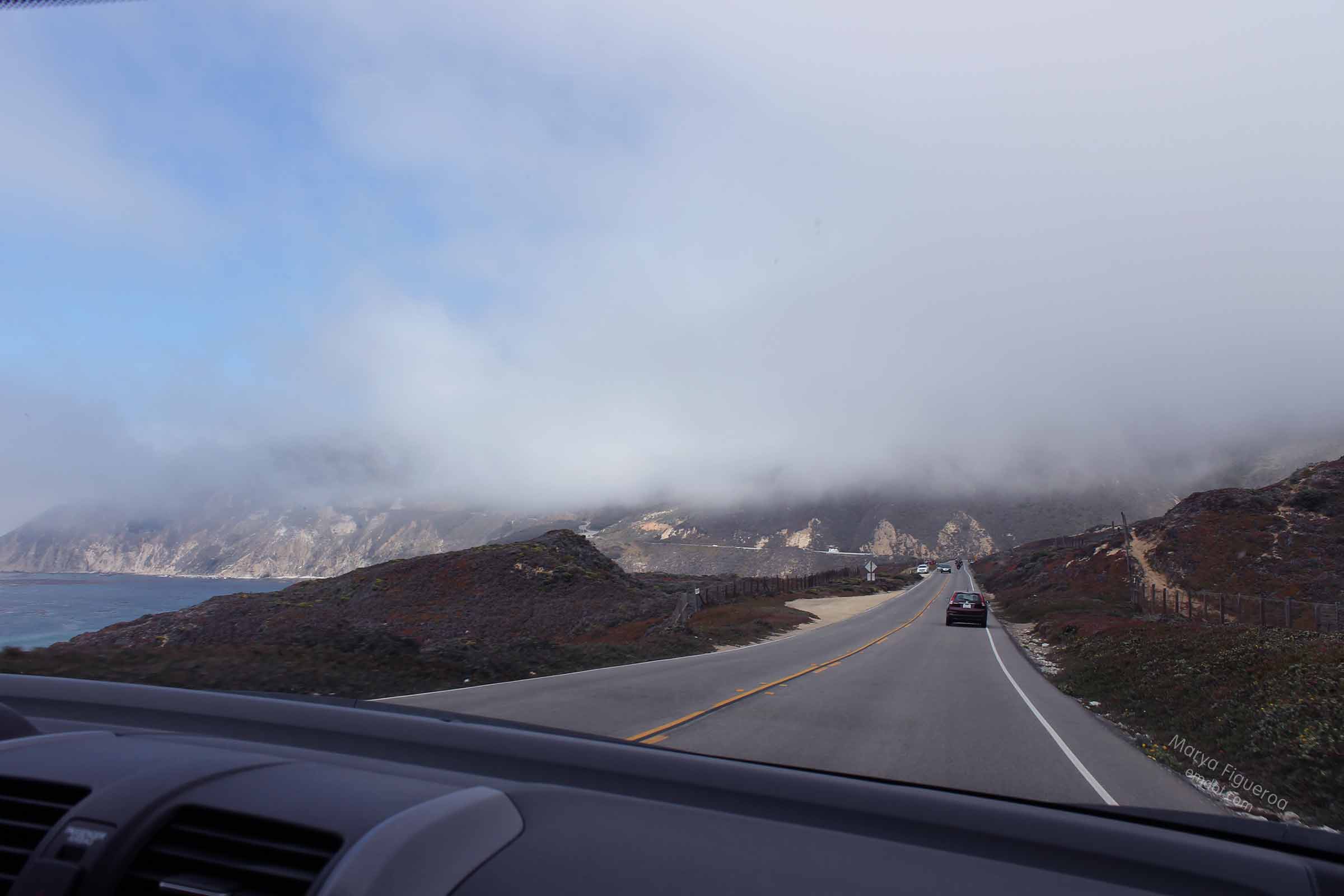
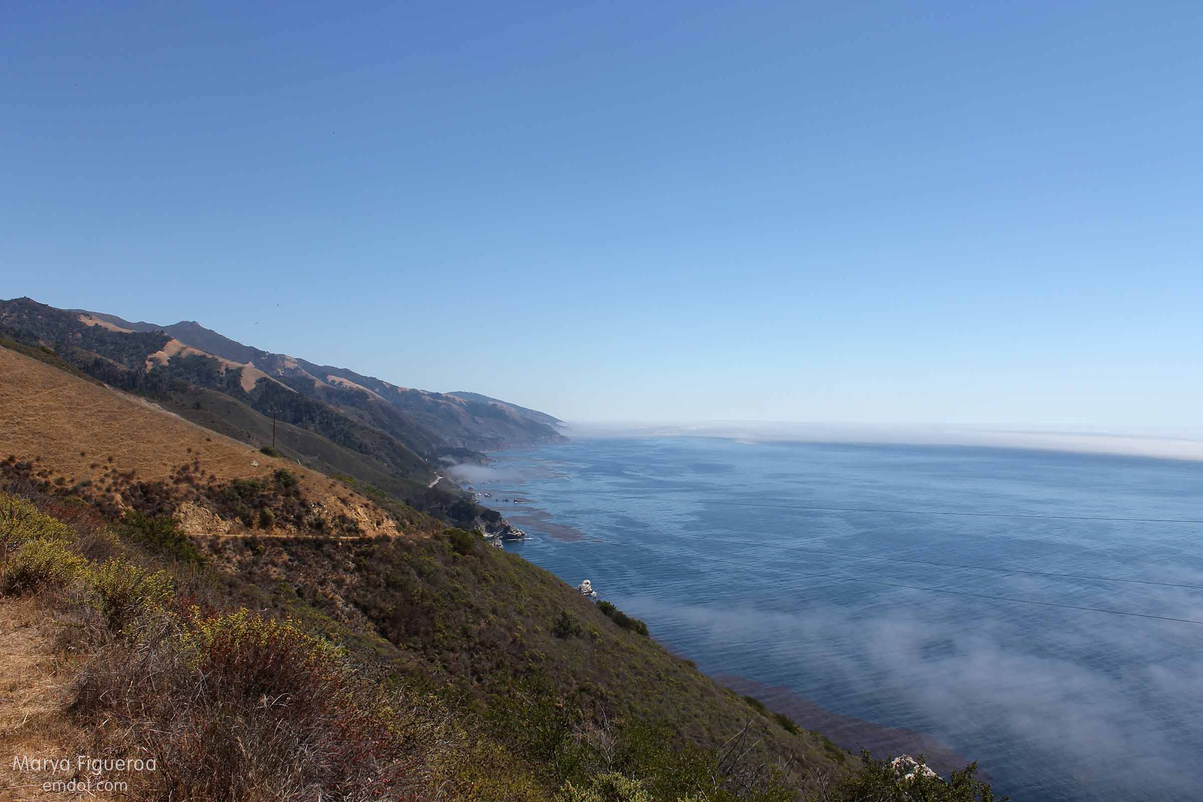
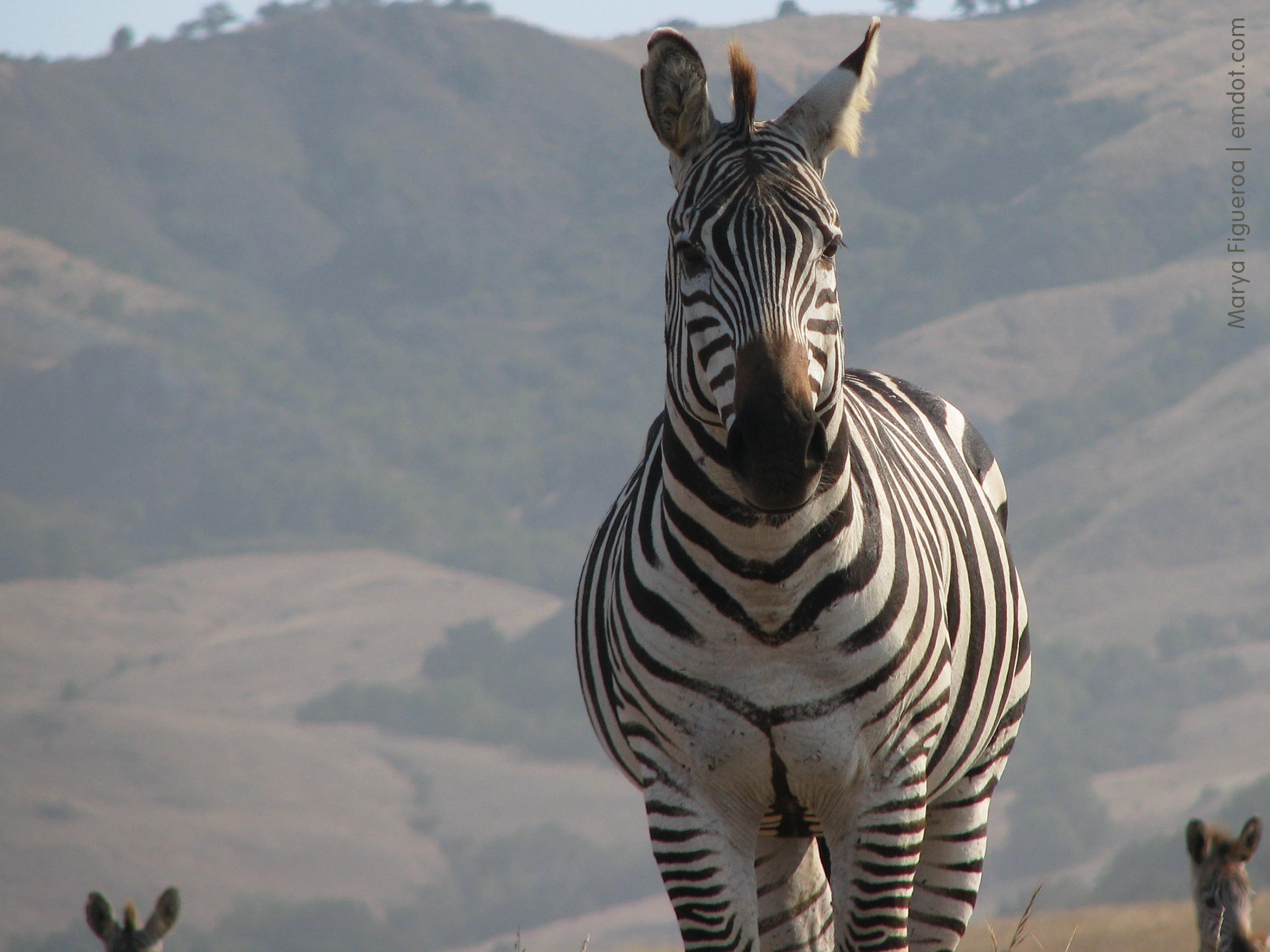
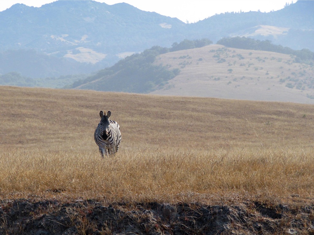
June 30, 2013. Month 4. The trip started strong: we were out the door early in the morning, which may be how we got lucky enough to see the zebra.

The zebra are holdover/leftovers from the Hearst Castle private zoo from back in the 20s or 30s. When the zoo closed they left the zebra (and elk and some kind of big-horned sheep) free to graze the thousands of acres of Hearst property. The property butts up to Highway 1, though you never see elk or sheep, but sometimes you will see zebra. Far away zebra. Far away stripey horsey looking animals, if you squint.

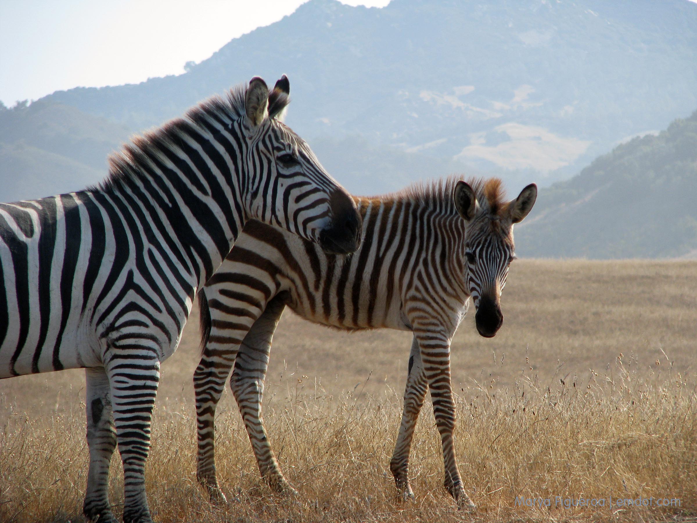
We always look for them and they’re not always around, so when we do see them, even when they are far-away, stripey-horsey looking, we get excited and shout “zebra!” to each other as we point out the window.

On this morning we saw two zebra and they were only 40 or so feet from the fence which was 40 or so feet from Highway 1. “Zebra!!” Pointing! Slowly coming to a stop on the side of the road (when we really wanted to slam on the brakes. We are careful even in the face of close-to-us-wild-zebra-sitings.).

Zebras in San Simeon

The two turned into seven as five others walked over to view us humans (“People!” I imagined they silently whinnied and stamped at the ground because they cannot point.)

What I learned: young zebra stripes are brown, not black. Who knew? I mean who besides David Attenborough and those that watch his shows? (Hi Rachel!)

Zebras in San Simeon

They were beautiful. So beautiful. It was a great moment (that stretched into 15 minutes). We stayed as long as they did. They ate the dry grass. They scratched themselves on a nearby pole. They watched us. And then they mosied on.

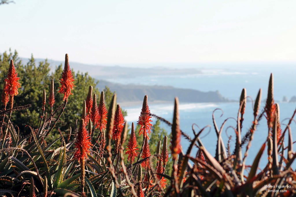
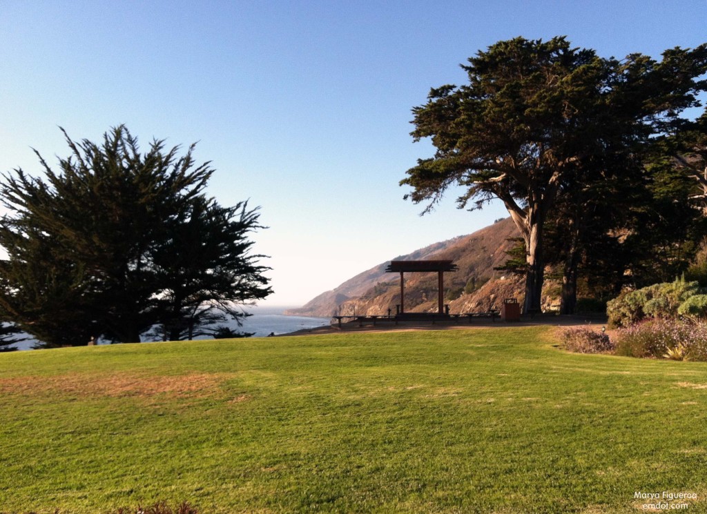
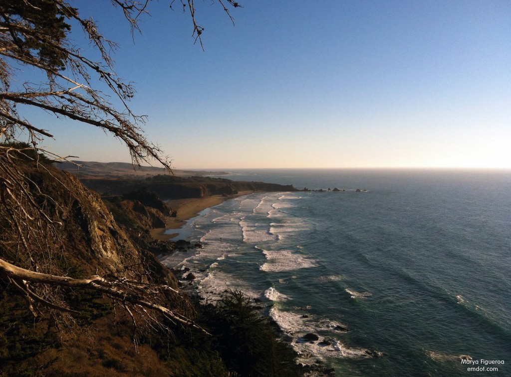
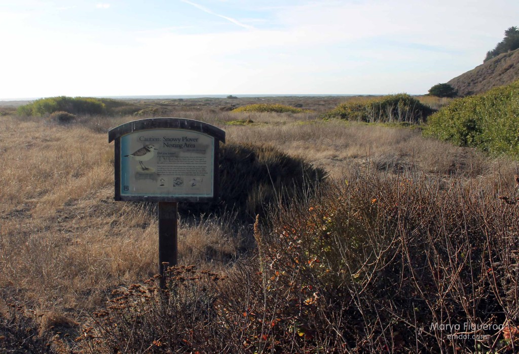
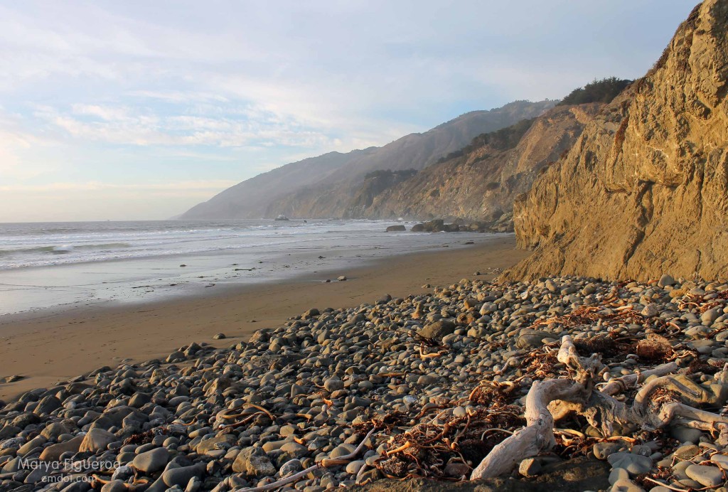
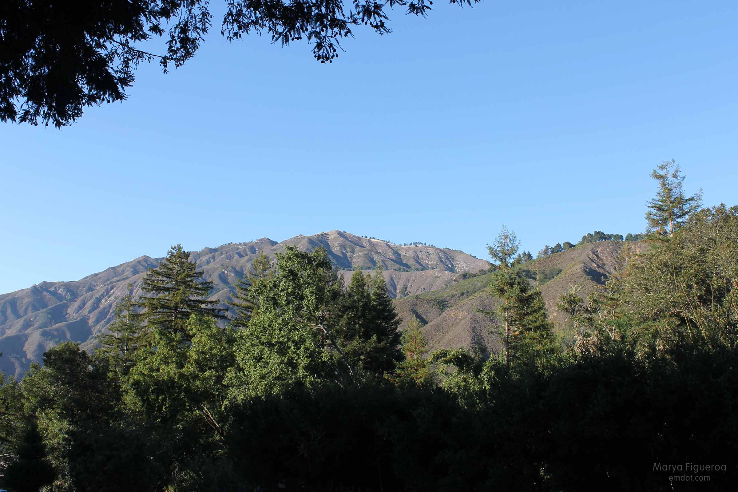
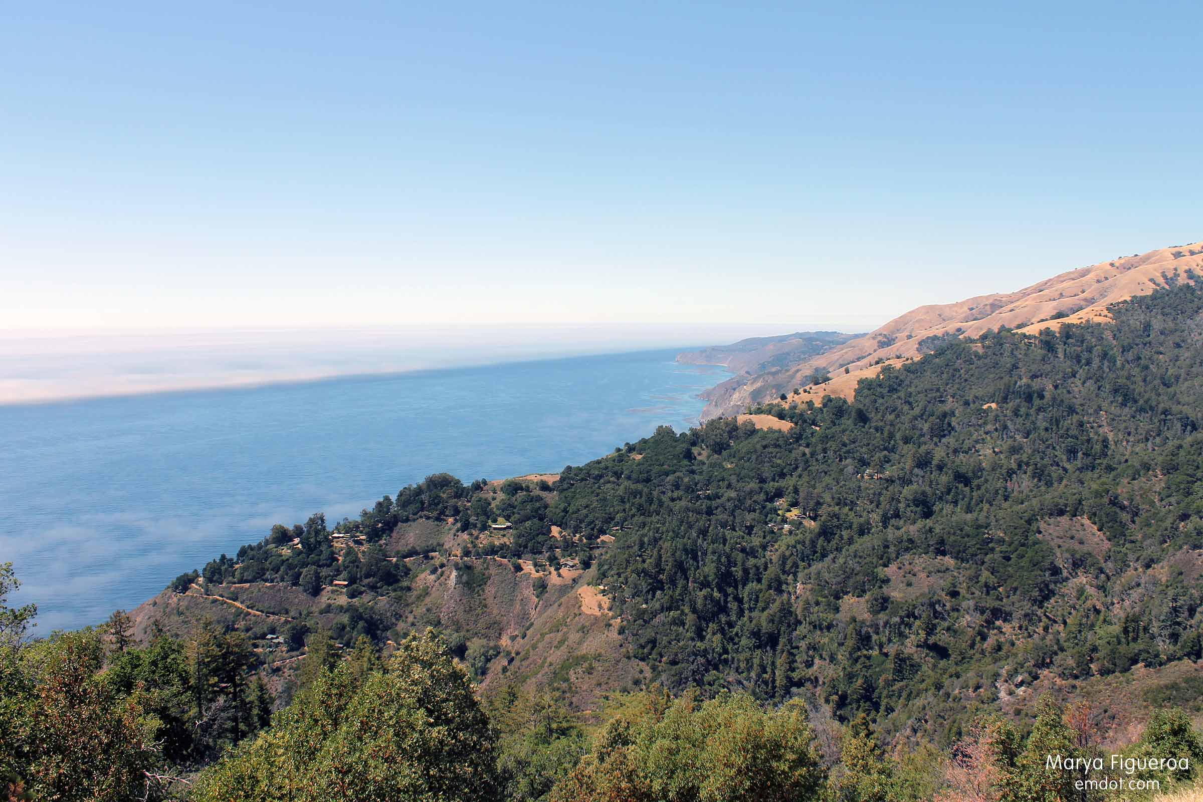
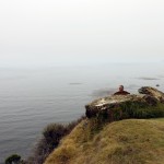
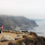
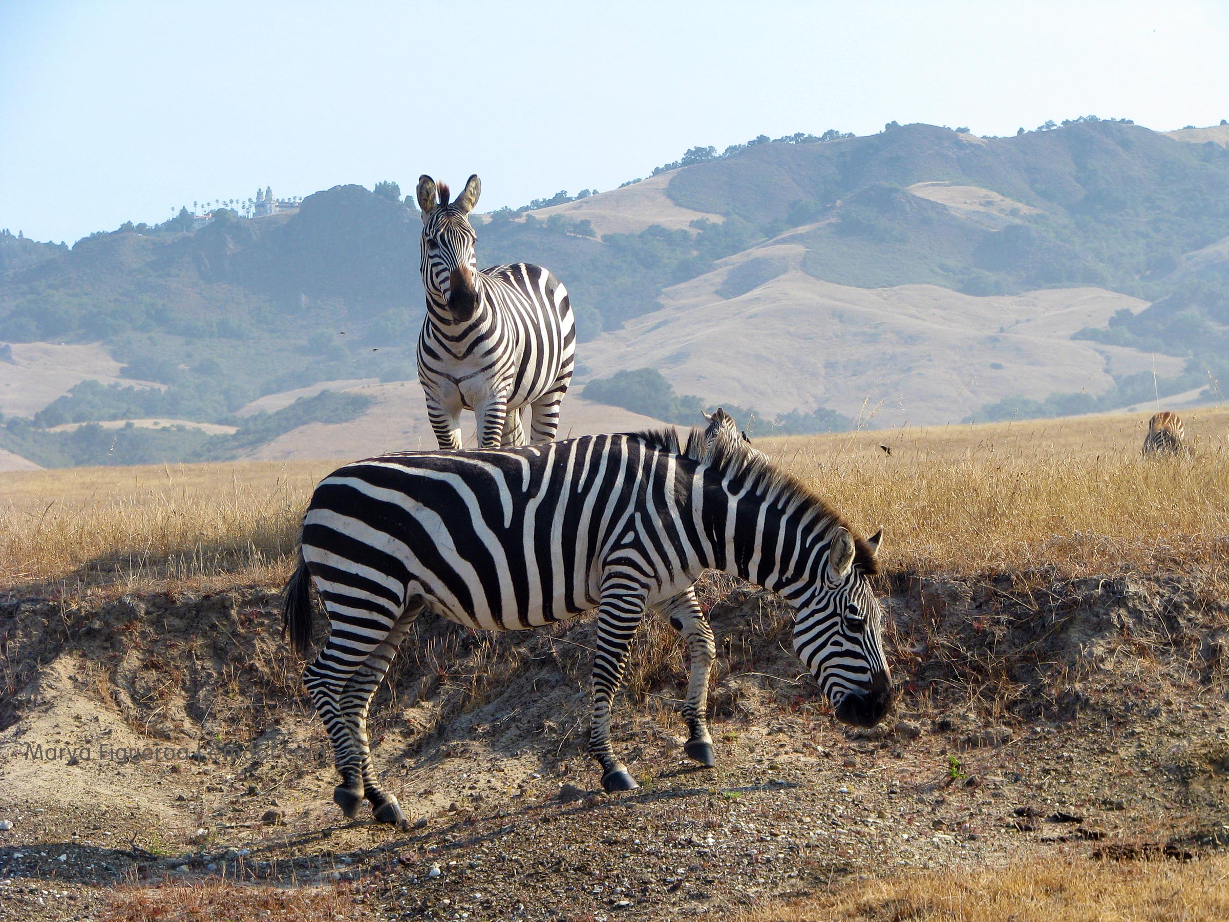
In the photo above you can see Hearst Castle in the distance, high on the hill.

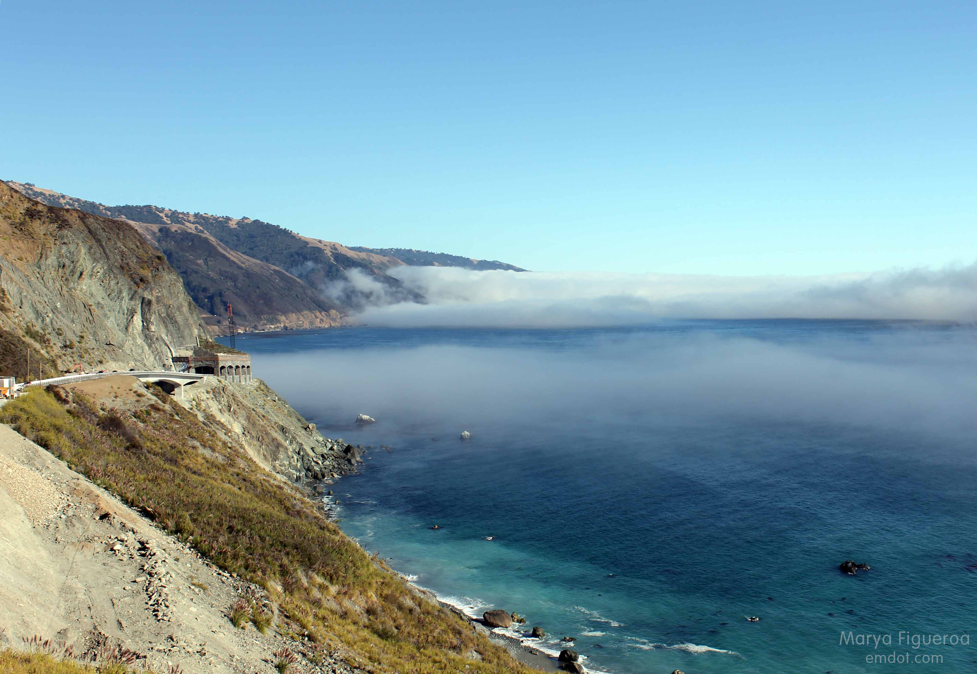
San Simeon is at the northern tip of our county and not really Big Sur (and surely not Big Sur proper), yet my Big Sur trip would have been a success if this was all we got.

Zebra in San Simeon

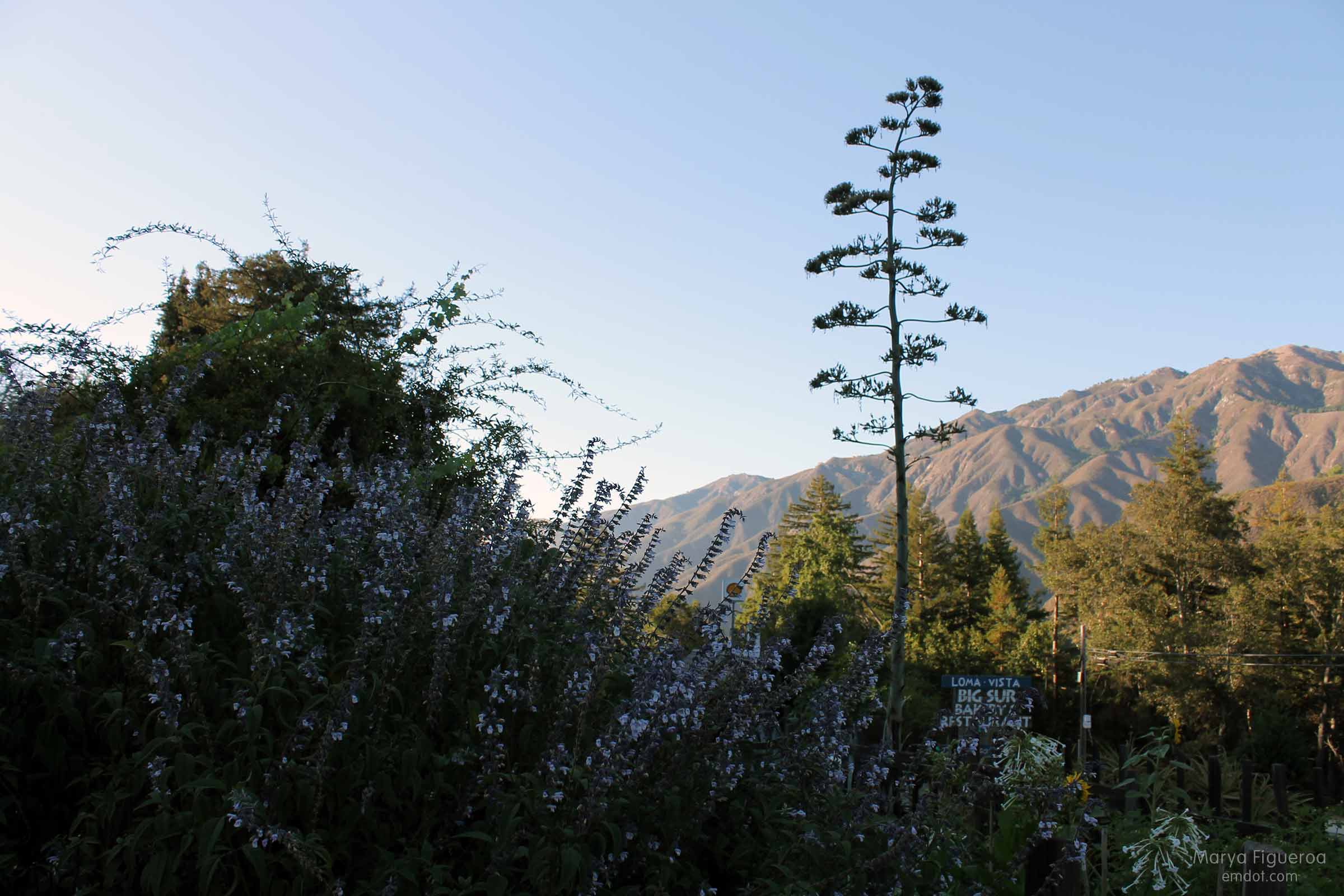
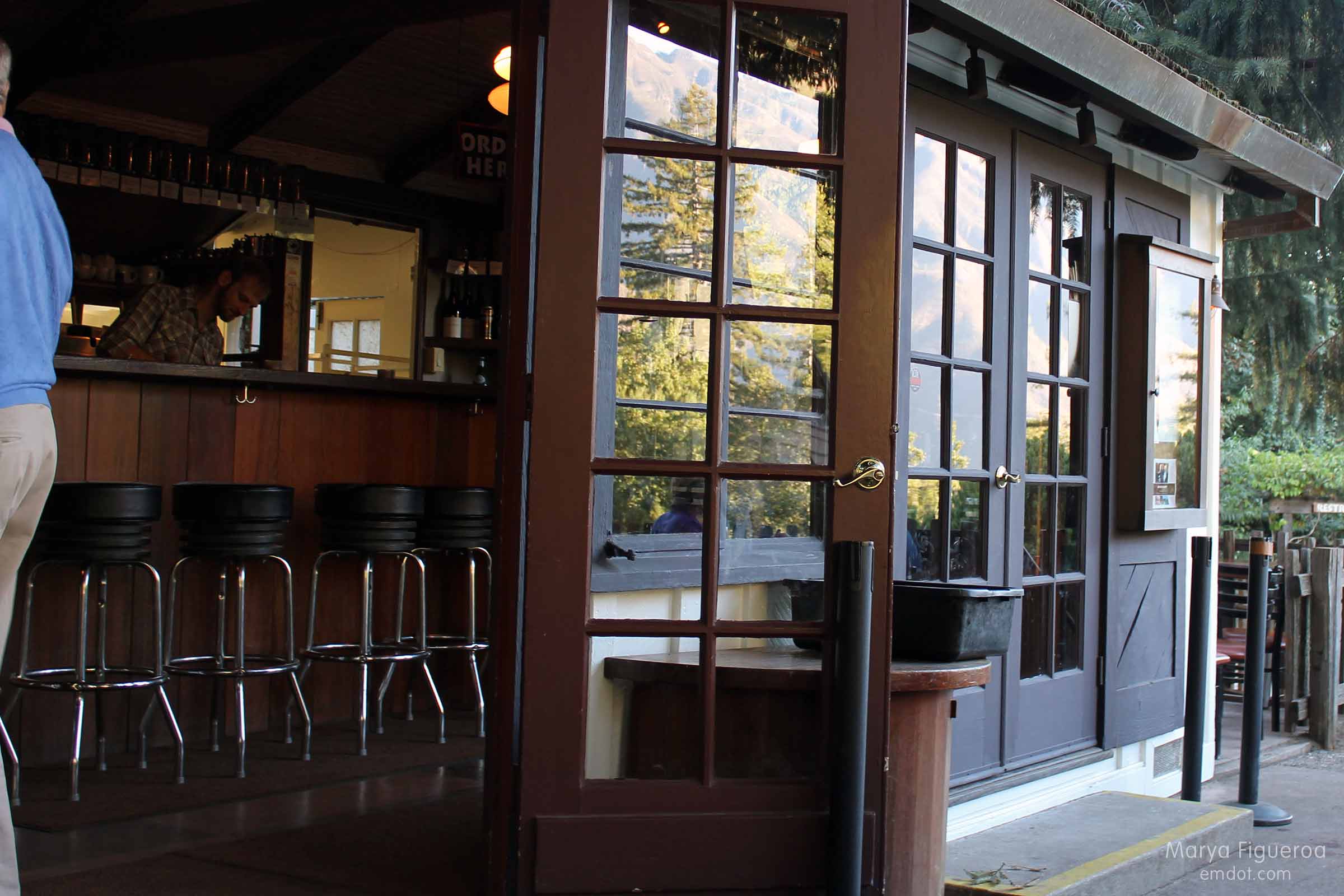
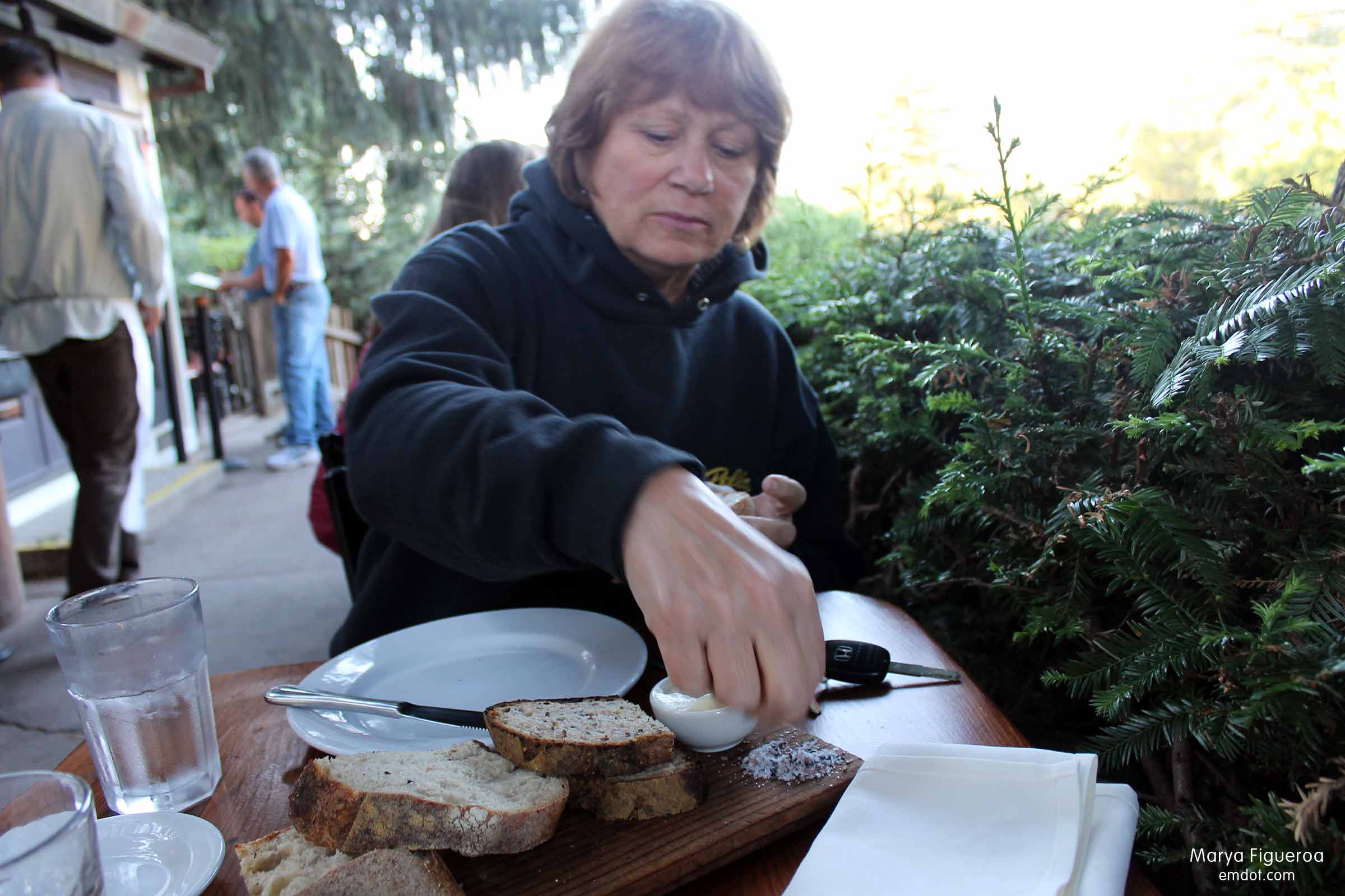
We left San Luis early because we had a pointed goal: get baked goods from the Big Sur Bakery. I’ve tried three other times in the last year and have walked away empty handed and the people working behind the counter seem pretty blasé about my disappointment. Whatever, get here earlier, is the jist. “How early?” I’ve asked. “Well, we start selling bread at 9 so you could get here then.”

Big Sur Bakery

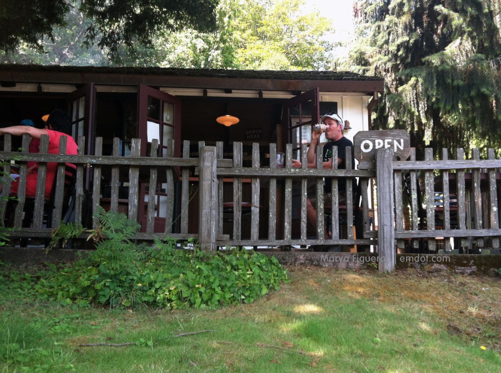
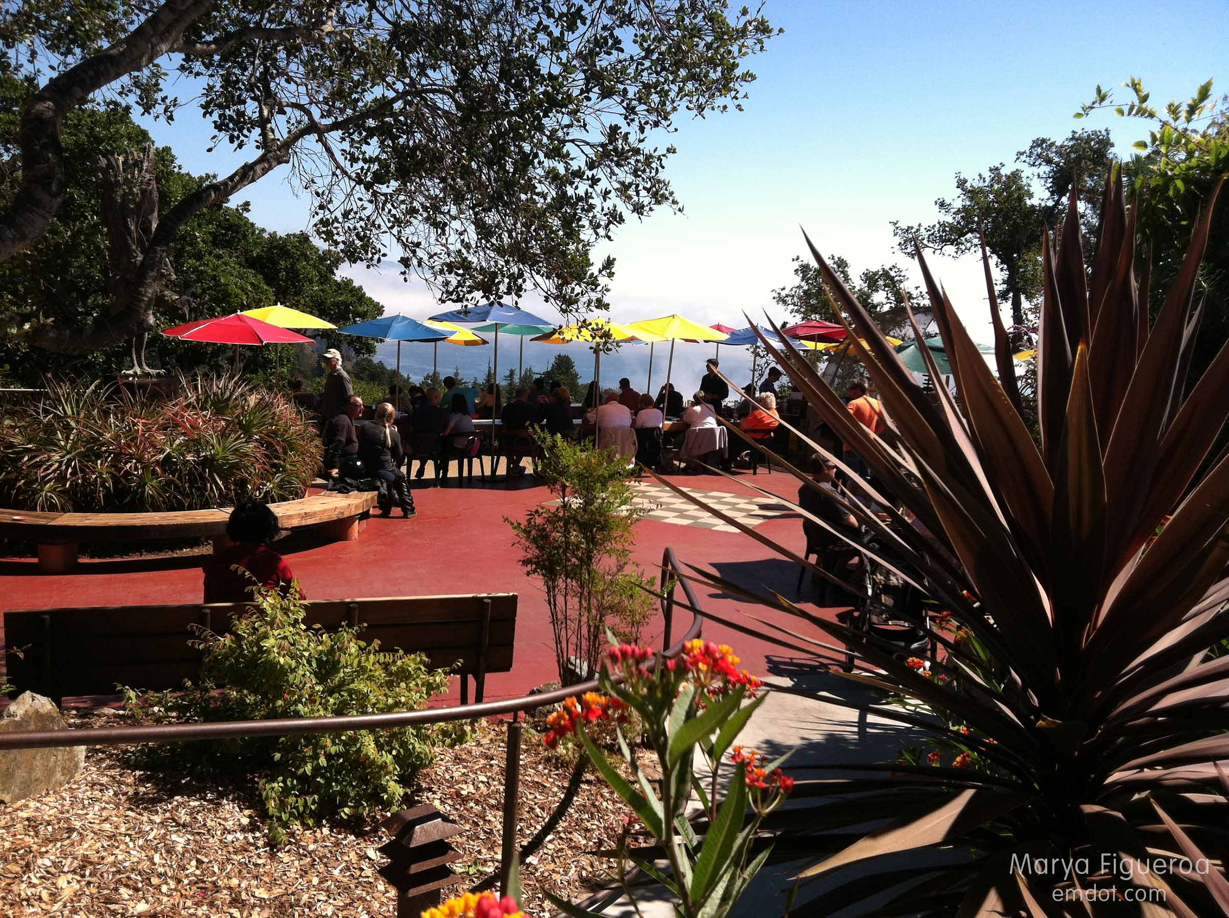
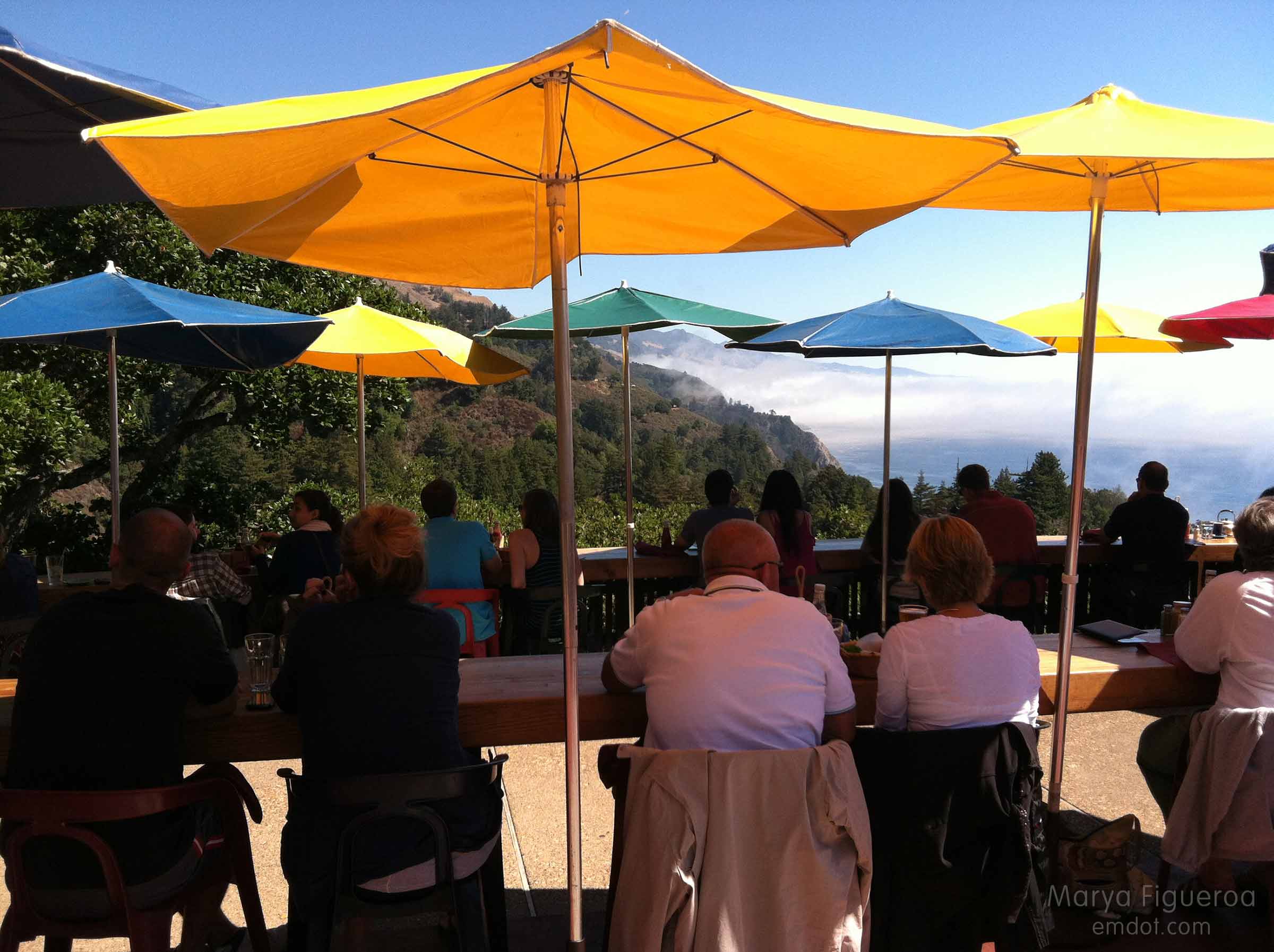
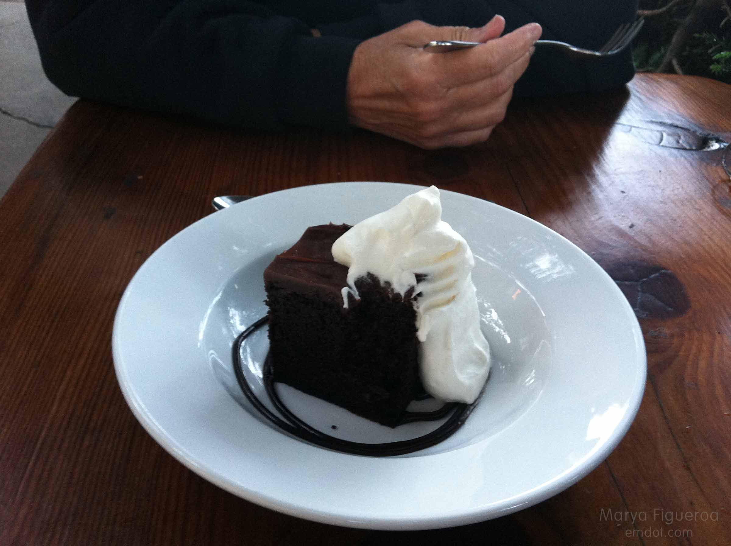
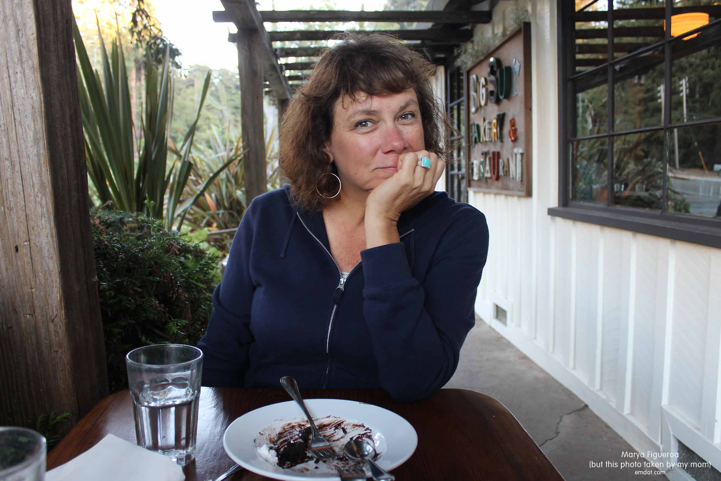
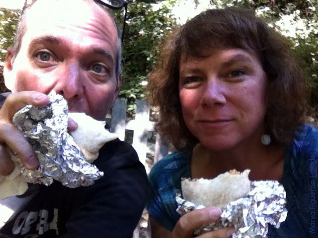
I think we go there at 10:30 and the case was already decimated, but we did get a lemon muffin and a berry scone. We sat out on the deck with silly smiles on our faces. The weather was perfect. The light was gorgeous. Crazy stellar jays were crazily squawking and hopping around. And we had baked goods from the Big Sur Bakery. Second success.

Big Sur outfit

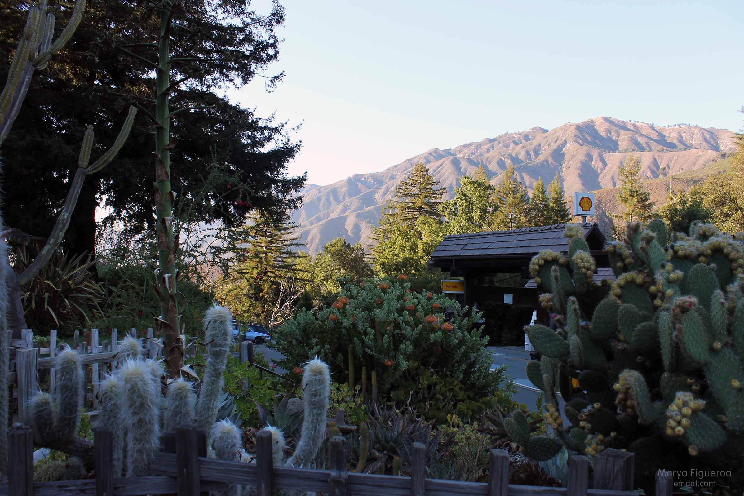
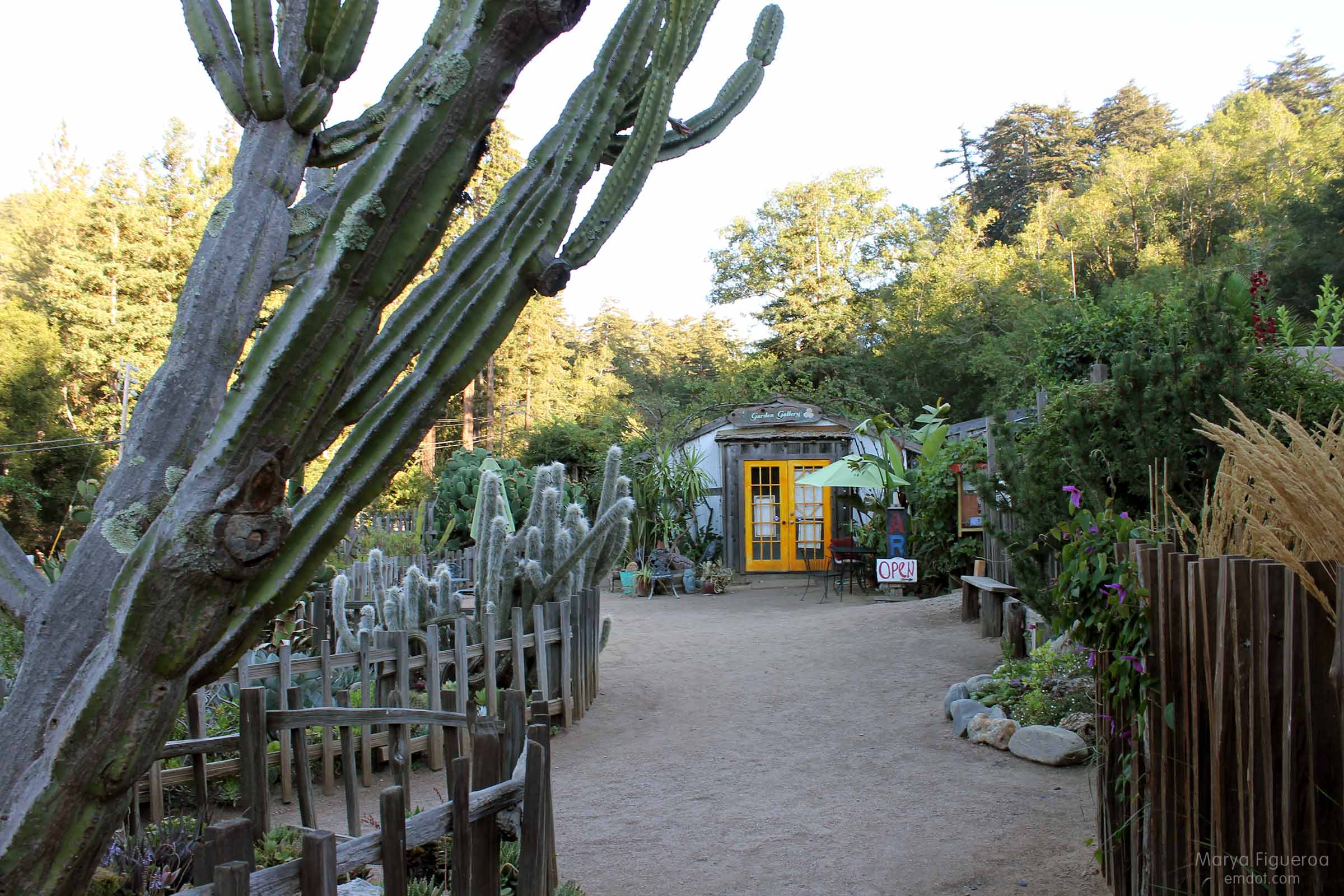
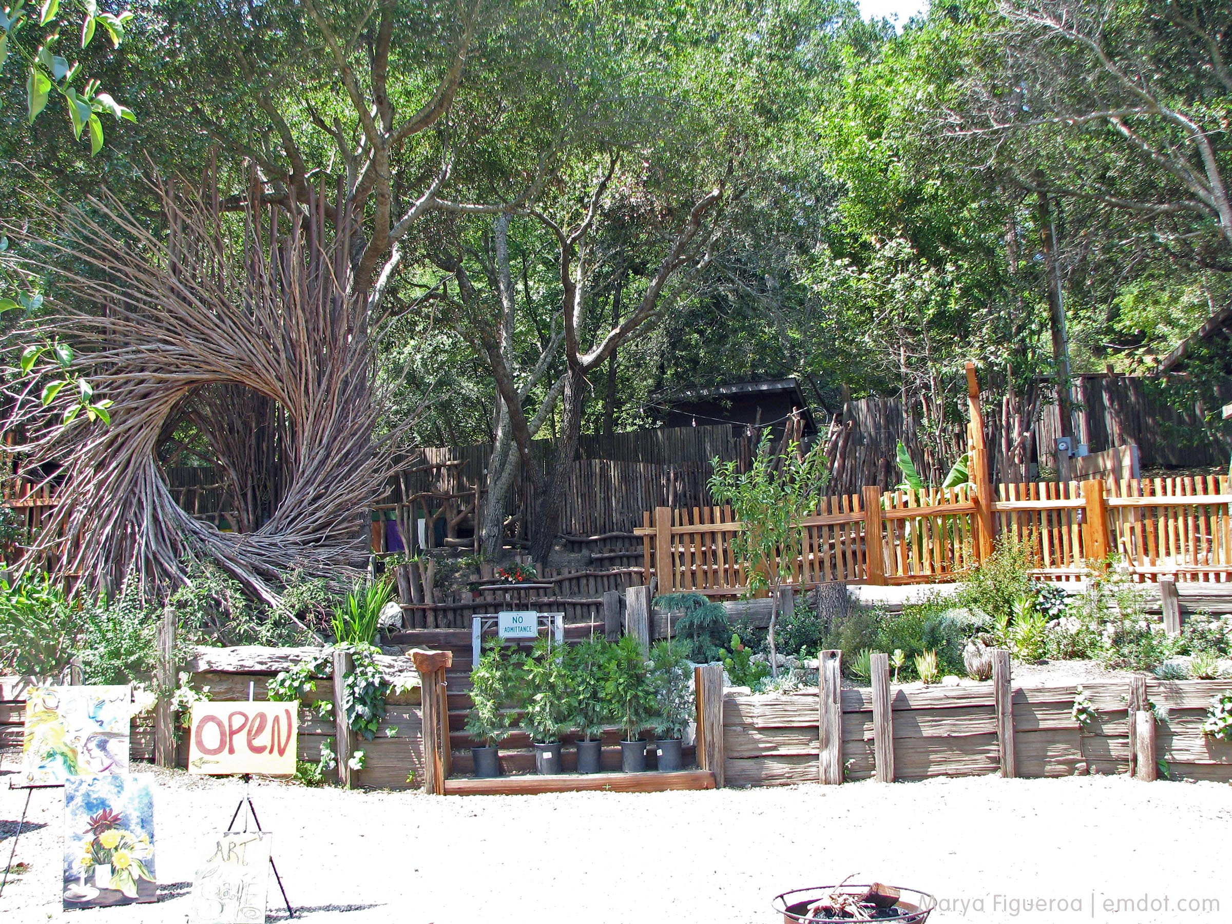
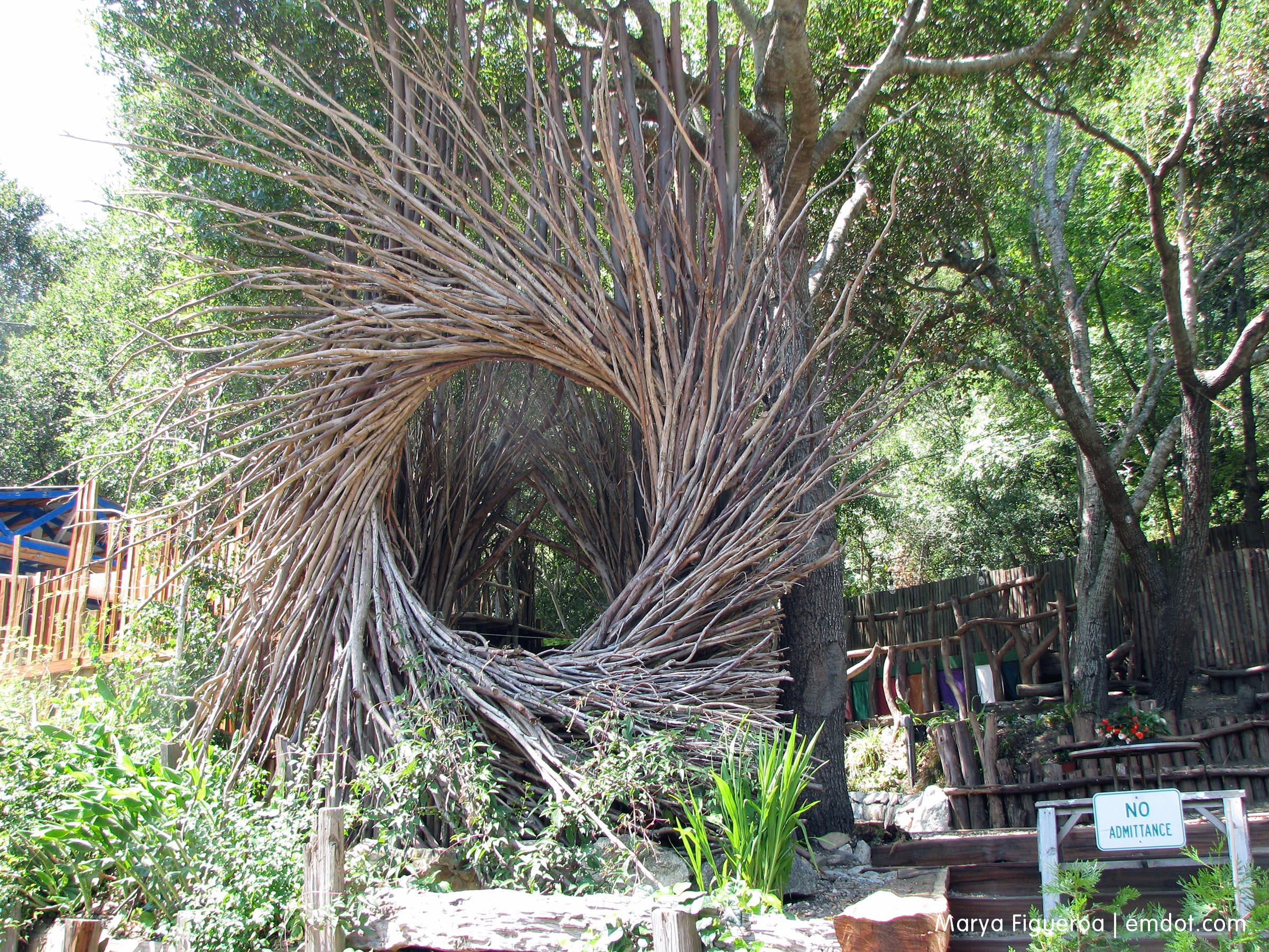
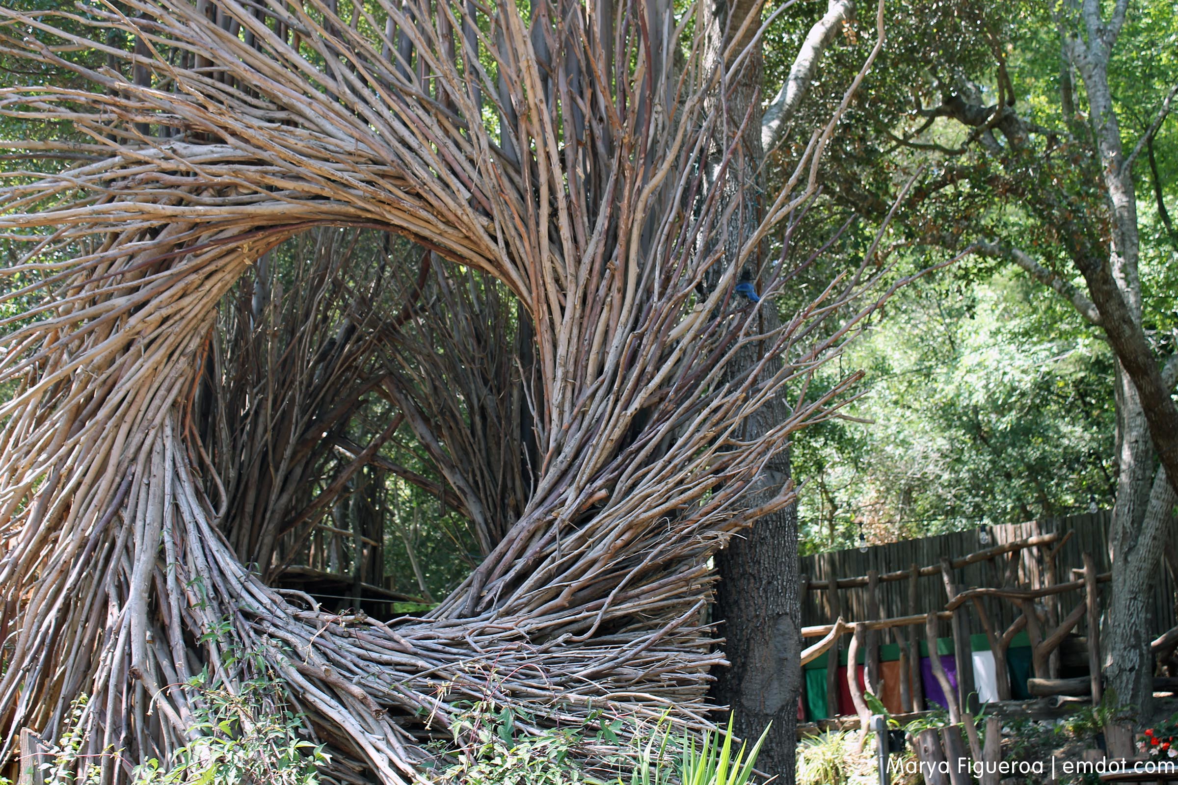
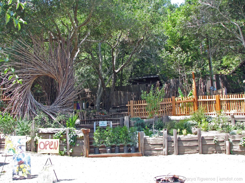
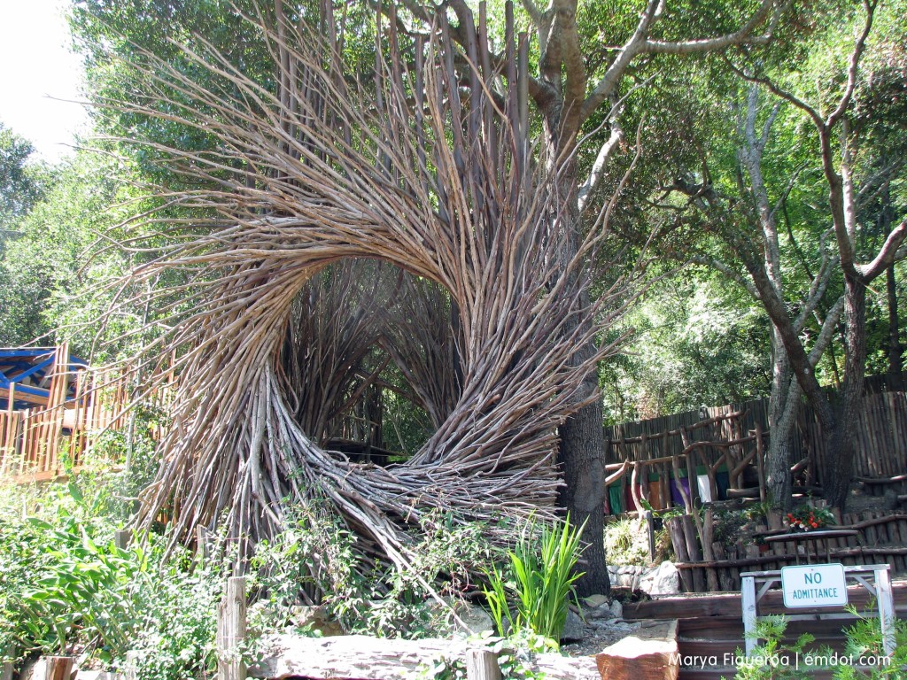
The Big Sur Bakery is more than just that. There is a gas station and a gift shop. There are a couple of gardens. The front garden is full of protea, cactus and succulents and the back garden is full of strange-looking willow-branch nest-like hanging sculptures that I find fascinating.

Big Sur Bakery garden

Big Sur Bakery garden

Big Sur Bakery garden

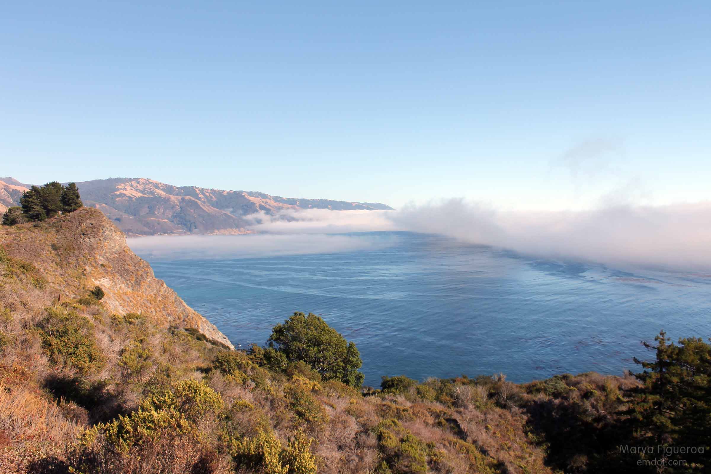
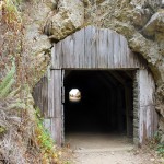
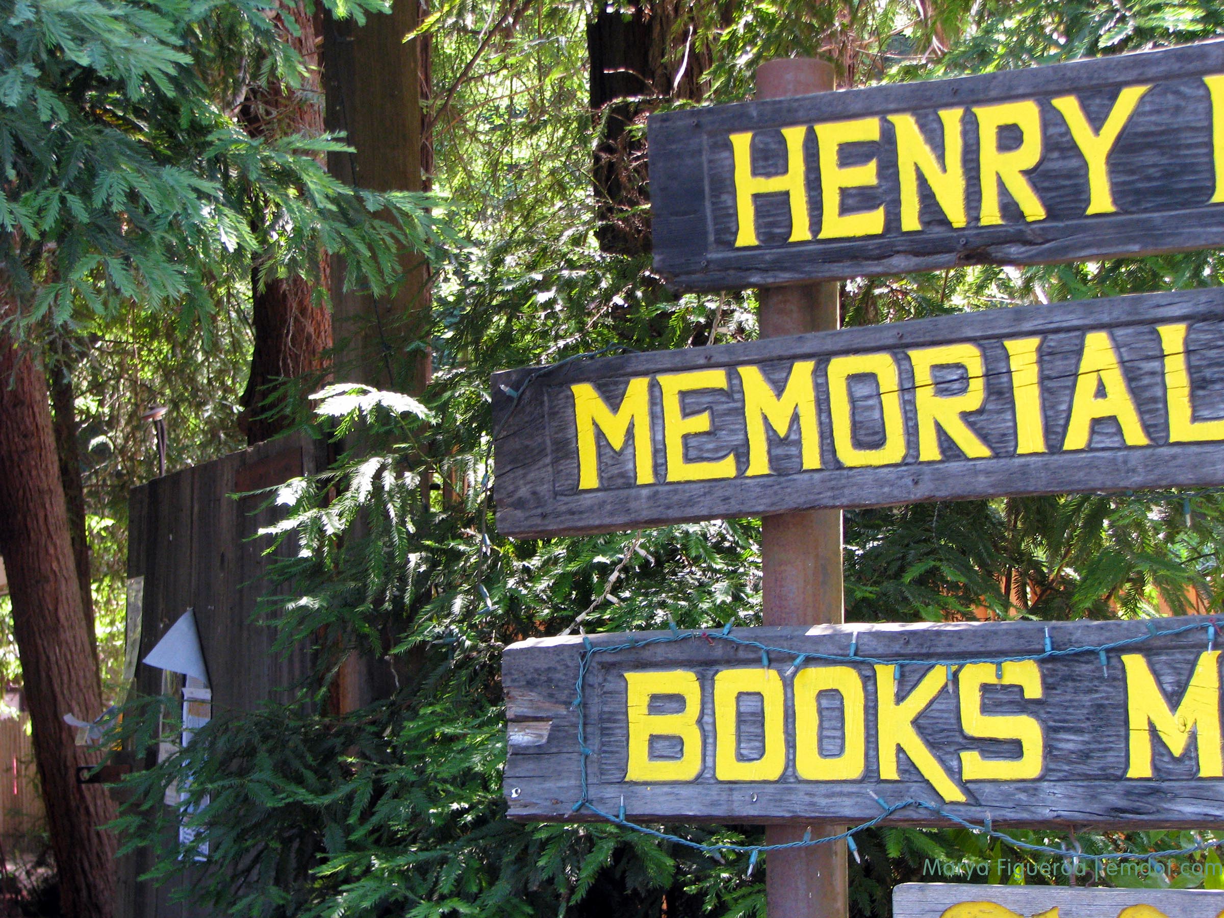
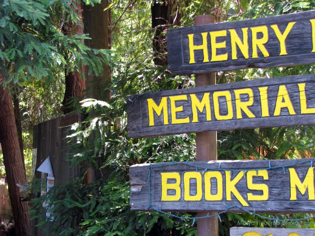
The only problem with Big Sur is the lack of cell signals and wifi spots. We love the Henry Miller Library but couldn’t go in because it had a private event this day. We sat in its parking lot to see if we could use their wifi to upload photos and video. Unsuccessful. (The event, by the way, was a day-long improv workshop that culminated with dinner and a performance and that sounds like a great way to spend the day to me. It was under a hundred bucks.)

Henry Miller Memorial Library

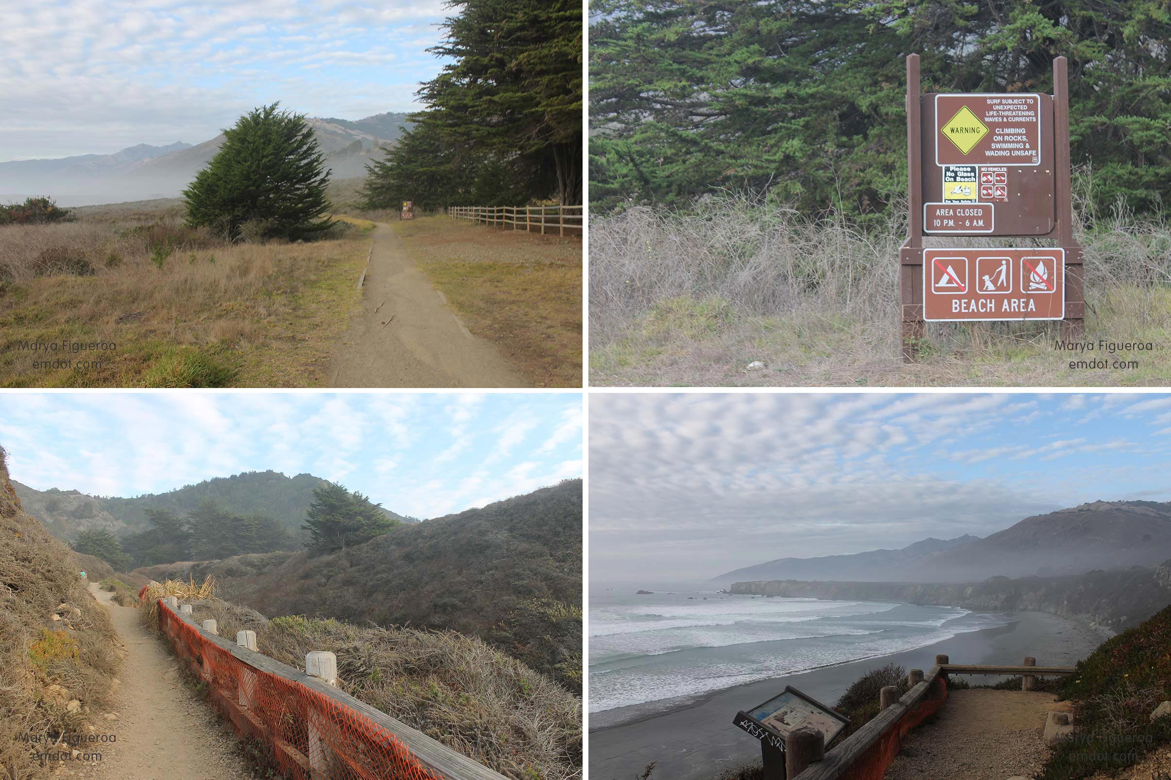
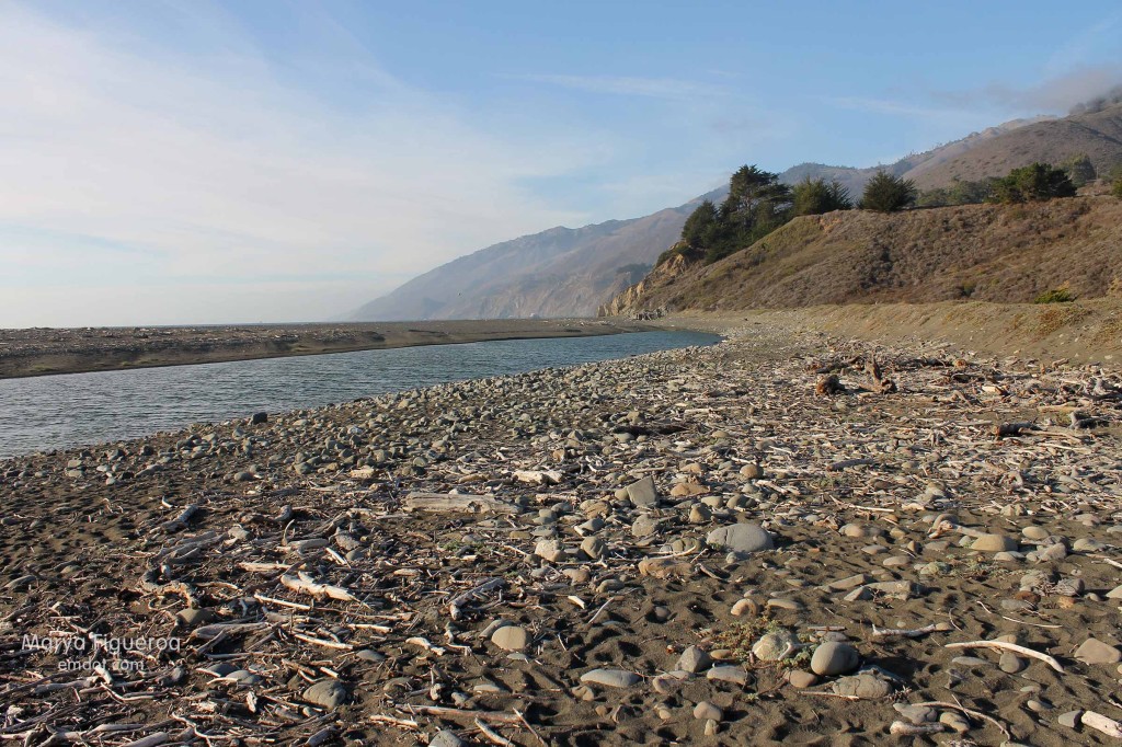
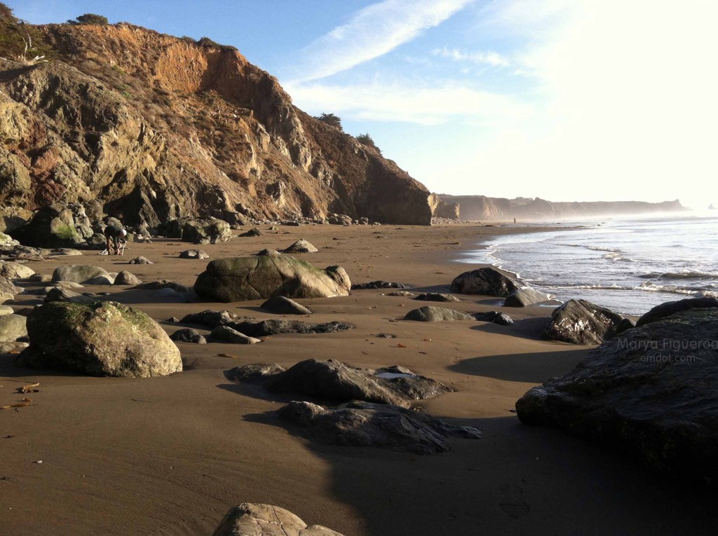
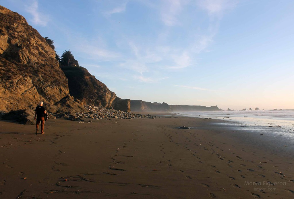
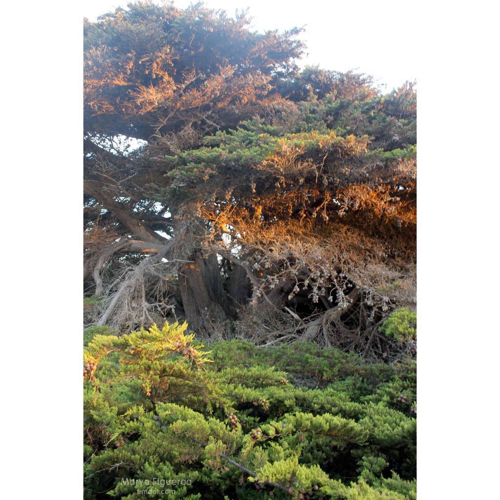
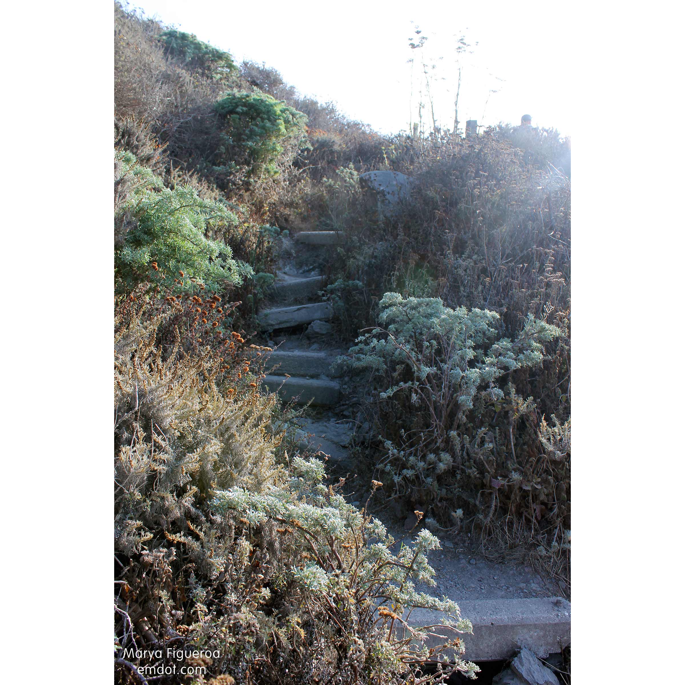
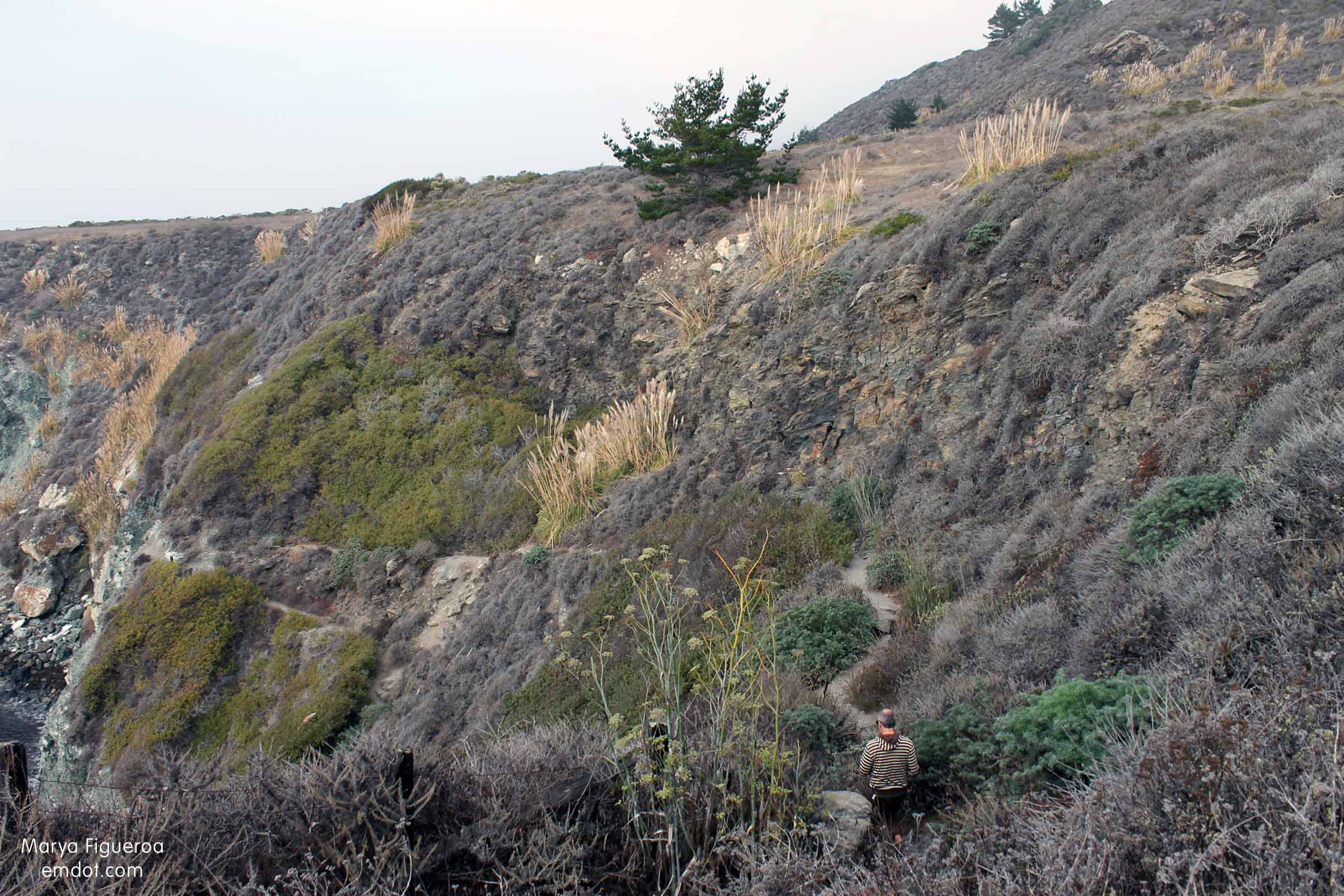
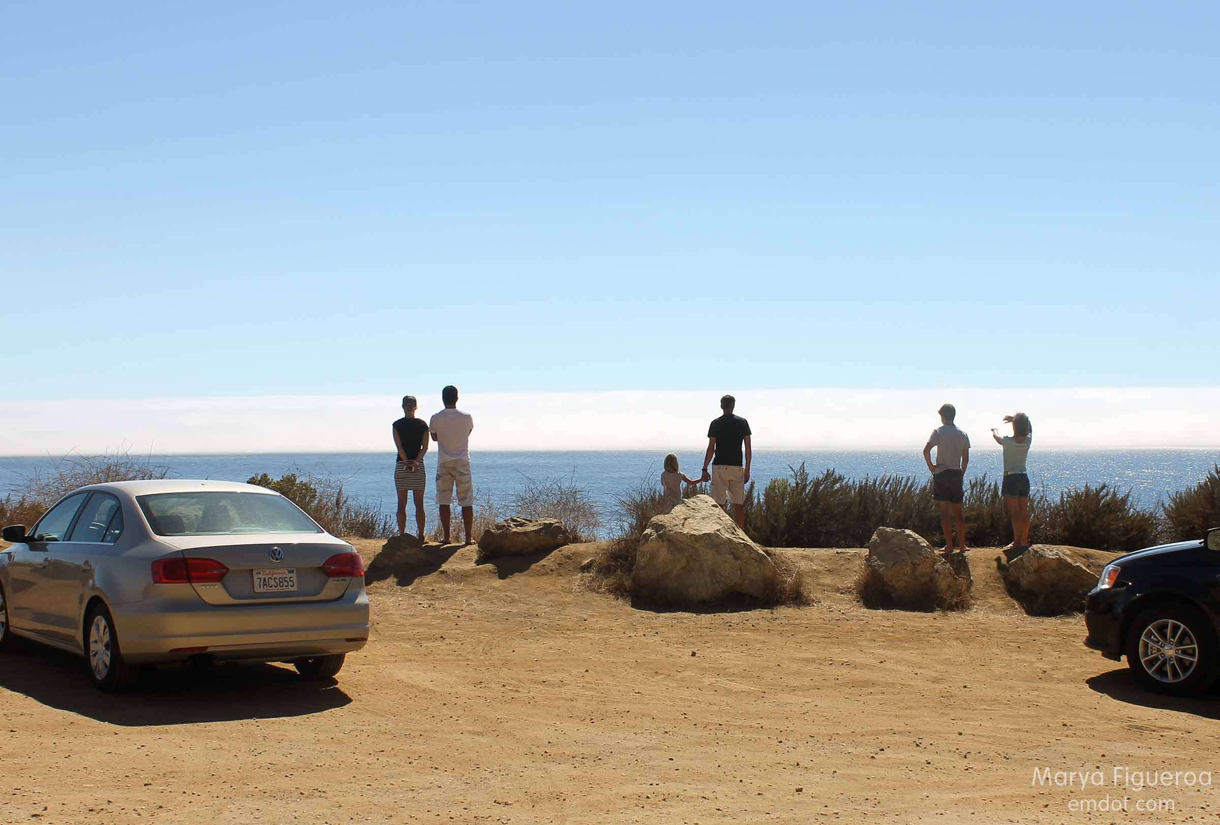
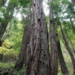
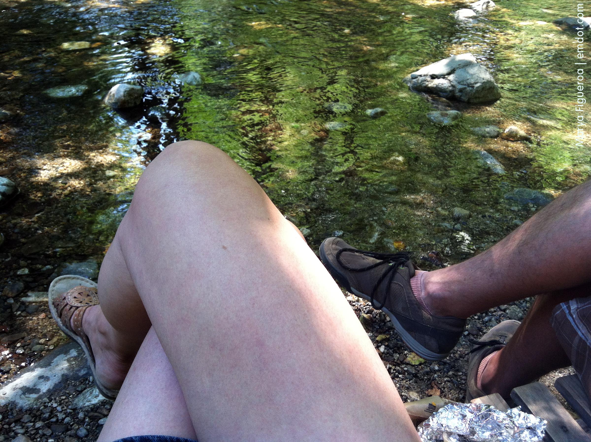
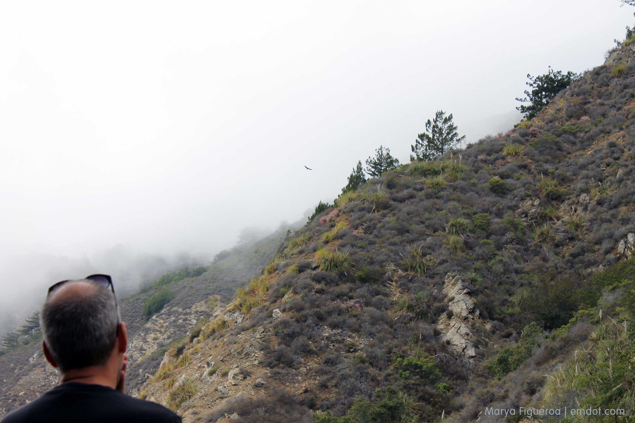
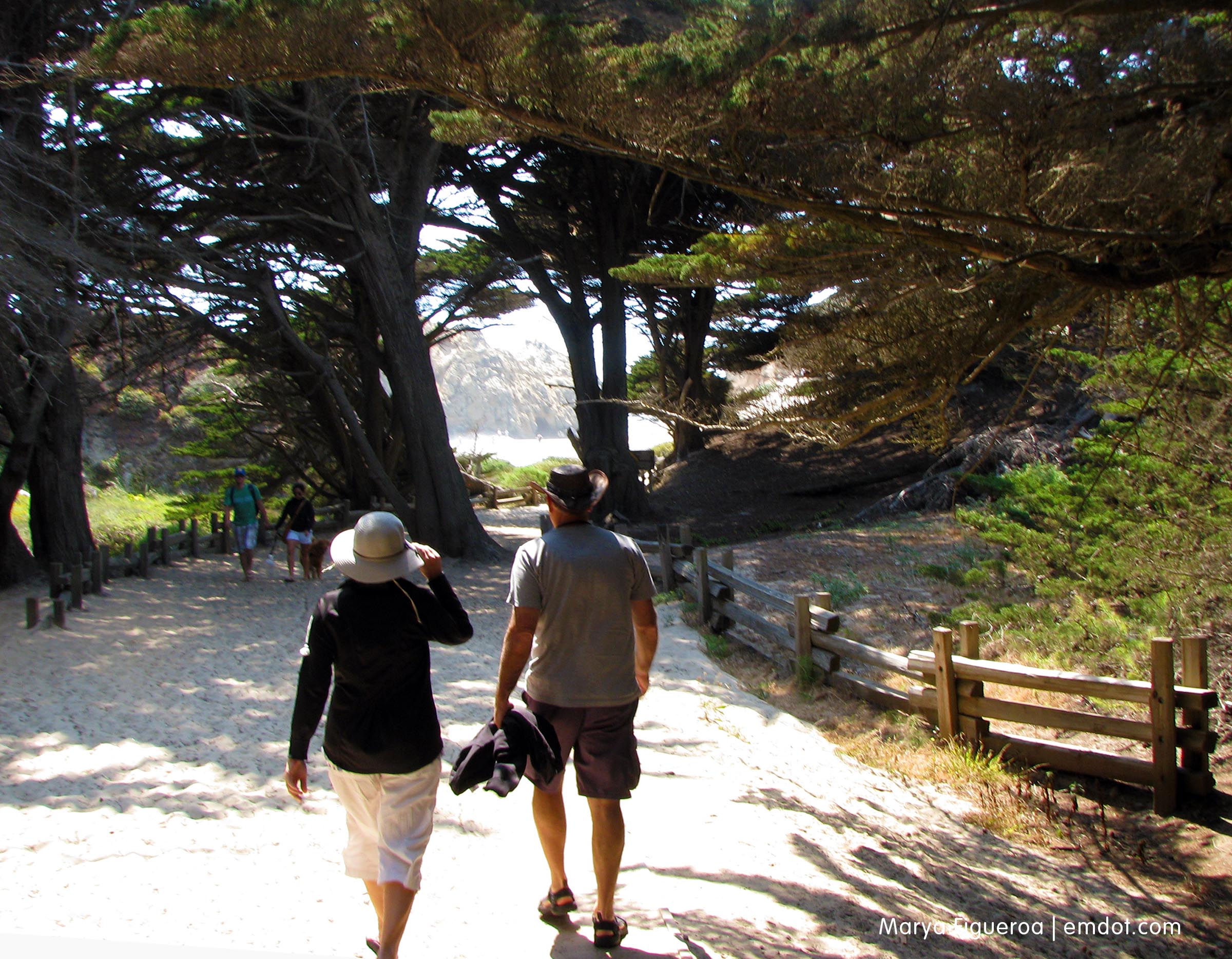
Because of my beach-and-peak weekly committments, we also needed to go for a hike and hit up a beach. Yet, even when we got to Big Sur proper, I hadn’t really picked which hike or which beach. We stopped at one of the Pfeiffers where a park ranger selected a book called Hiking and Backpacking Big Sur by Analise Elliot. Great recommendation. And now I highly recommend it too. Tons of hikes, detailed information, and even a chapter dedicated to flora and fauna.

We decided on two adjacent hikes (both were short and shared part of a path): Pfeiffer Falls and the Valley View Trail in Pfeiffer Big Sur State Park Campground. Somehow no pictures from the hikes made it into this post even though it was so lovely and so great and I’d go back there in a heartbeat. You can see photos in my Pfeiffer Falls and Valley View Trails blog post.

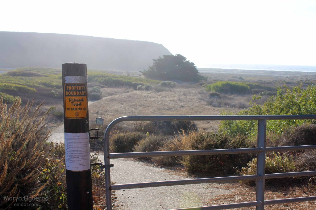
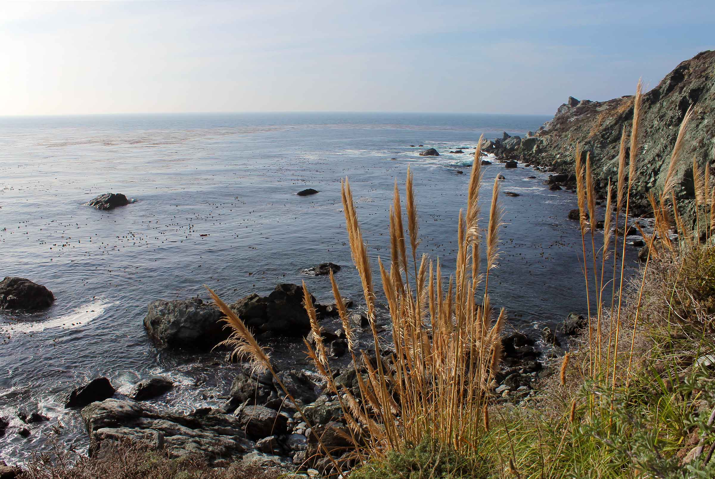
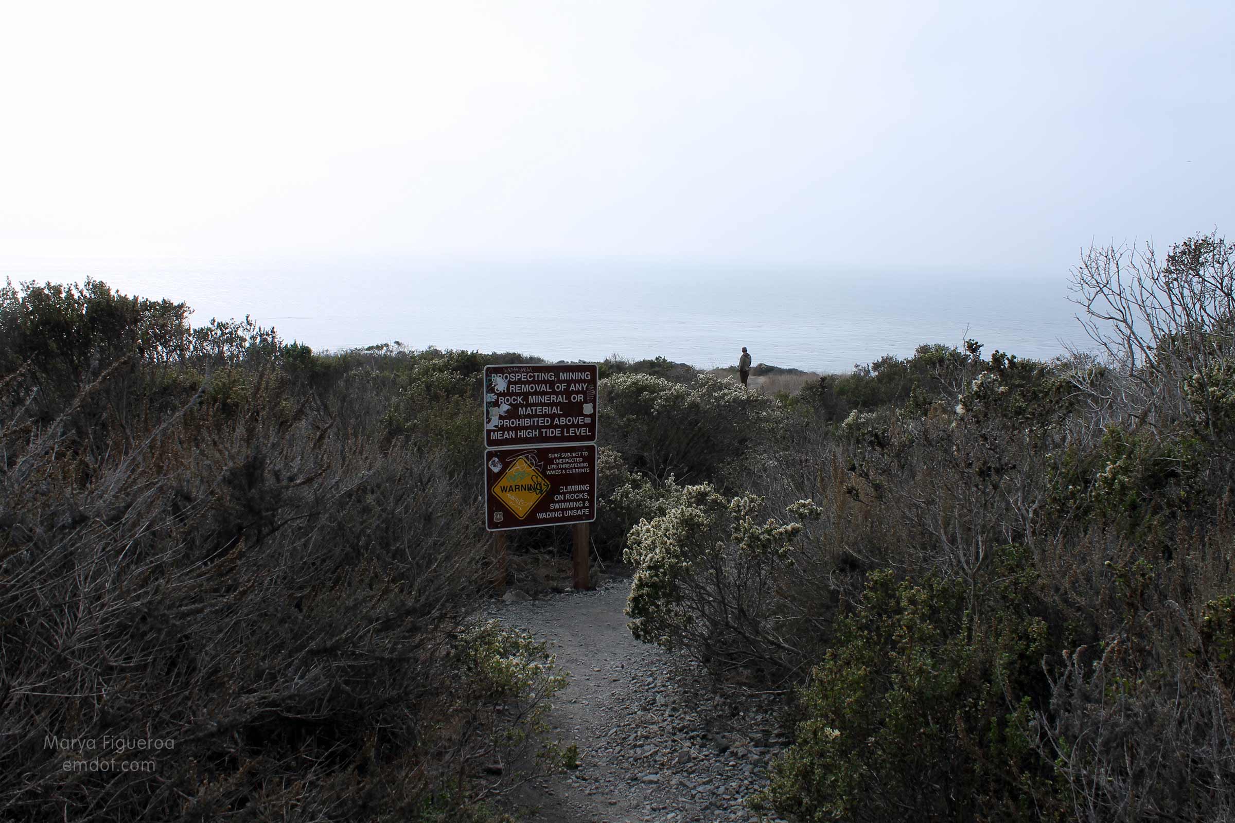
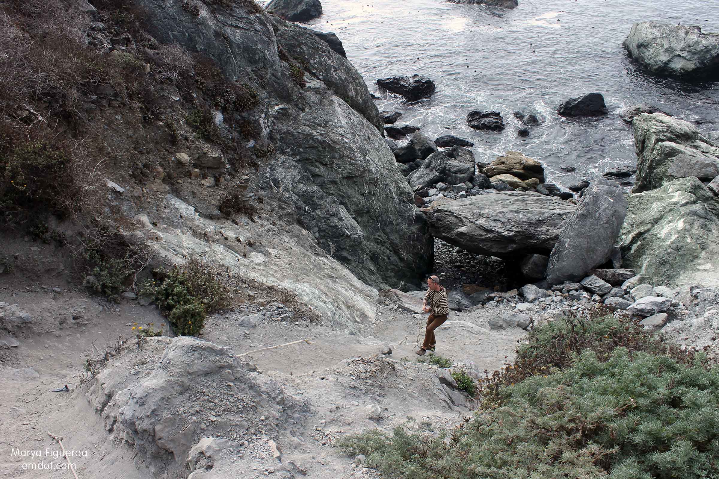
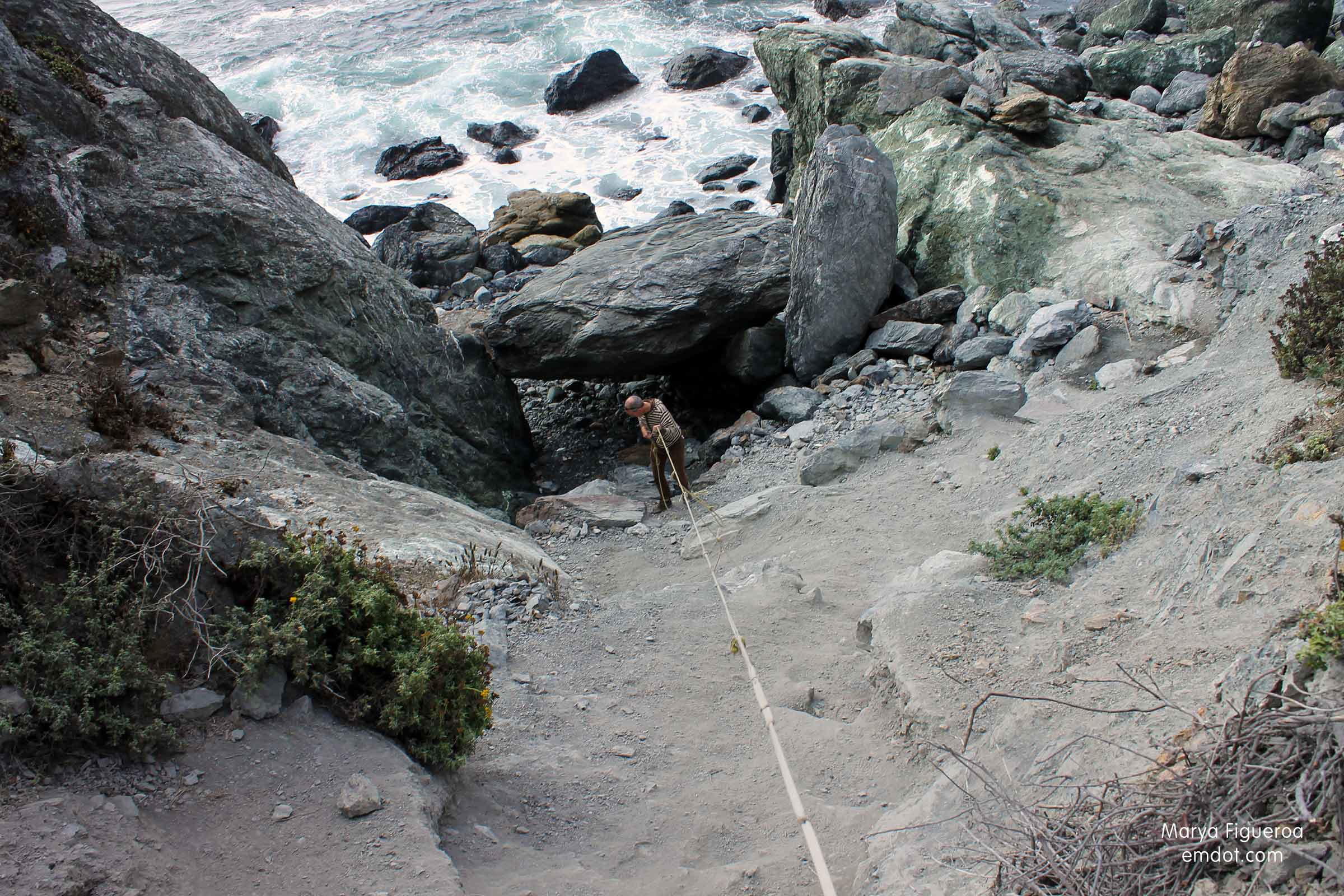
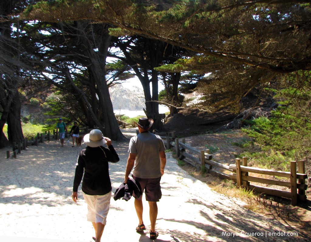
For the beach we decided to hit up a different Pfeiffer, just a couple of miles down the road from our hikes. (The beach is run by the Los Padres National Forest; the campground is a State Park. Because of this you’ll need to pay $10 for the hike parking and $5 for the beach parking, but both are worth it, so don’t feel bad.)

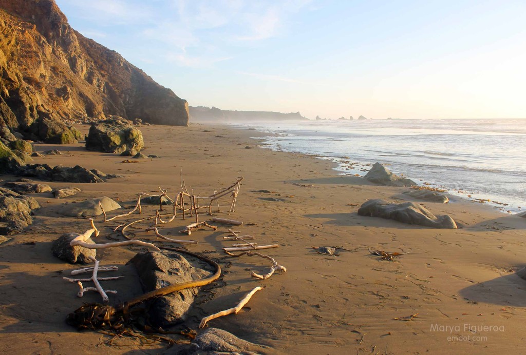
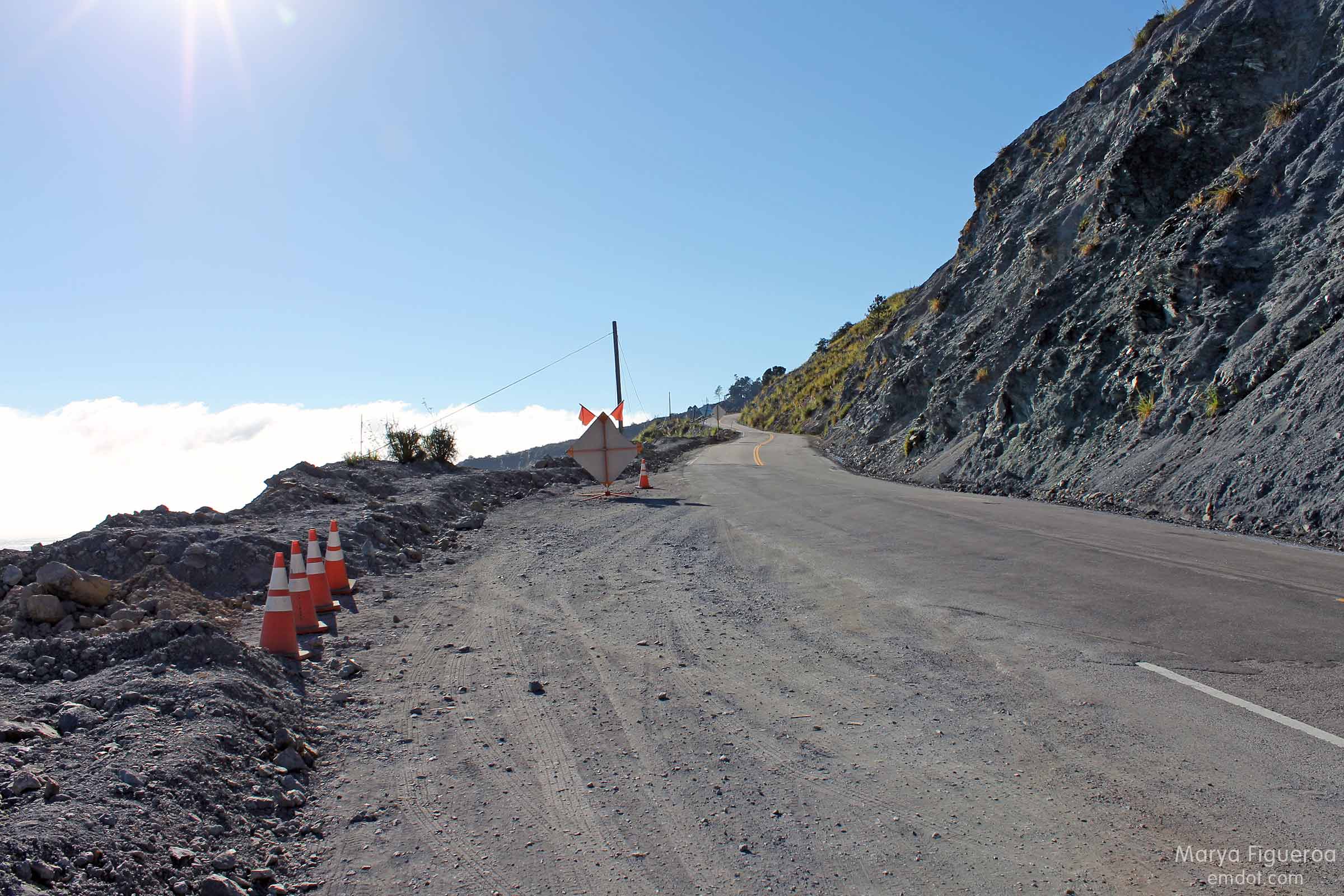
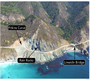
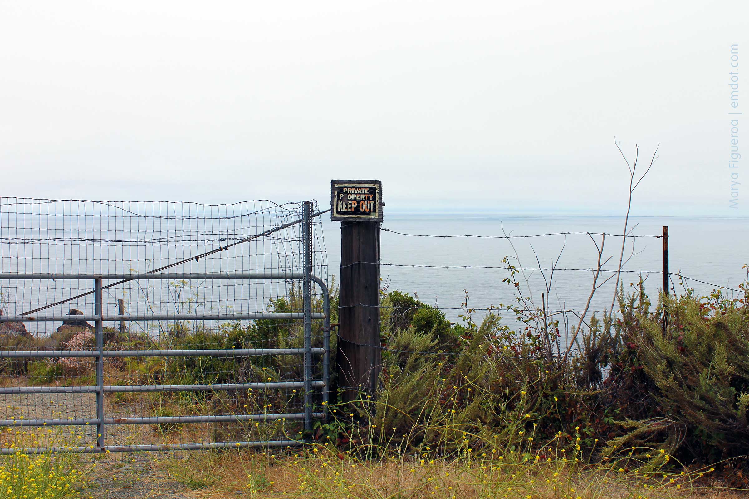
It’s a bit tricky getting to Pfeiffer Beach. First, the turn off is not well marked from the highway; then, you meander down several miles of road that seems like it might lead you to a park or it might lead you to some stranger’s house. You can’t quite be sure. The road is narrow, too, and everyone else who travels it is also a visitor and unfamiliar to it and may come barreling towards you in the opposite direction exactly when the road narrows to one lane. That happened to us about five times. We took the road slowly with a lot of caution. That’s my advice to you, too.

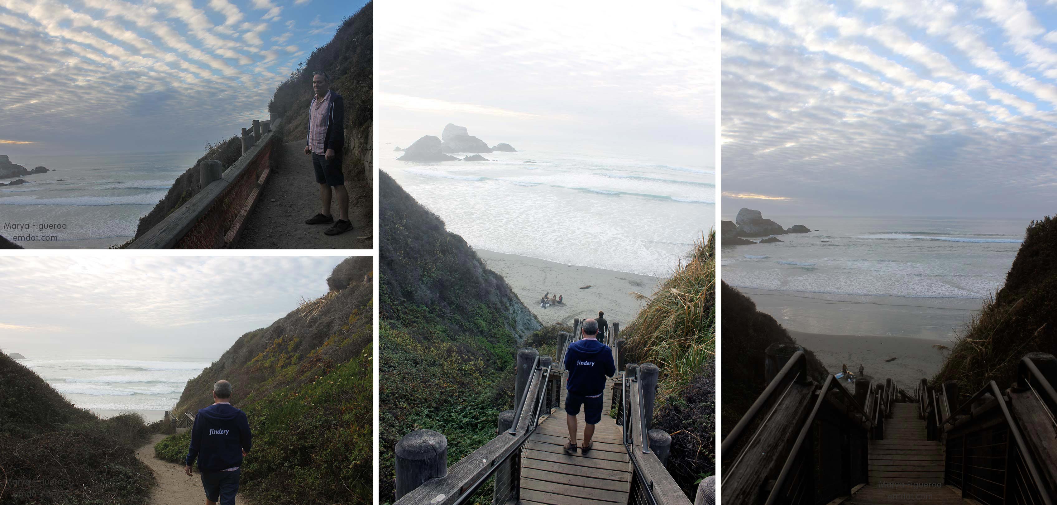
Pro tip: Even if it’s a nice day in other parts of Big Sur, grab your sweatshirt before you lock your car to get to the beach. You may not need it or you may REALLY need it. On this day “really” was the adverb in play.

Pfeiffer Beach path

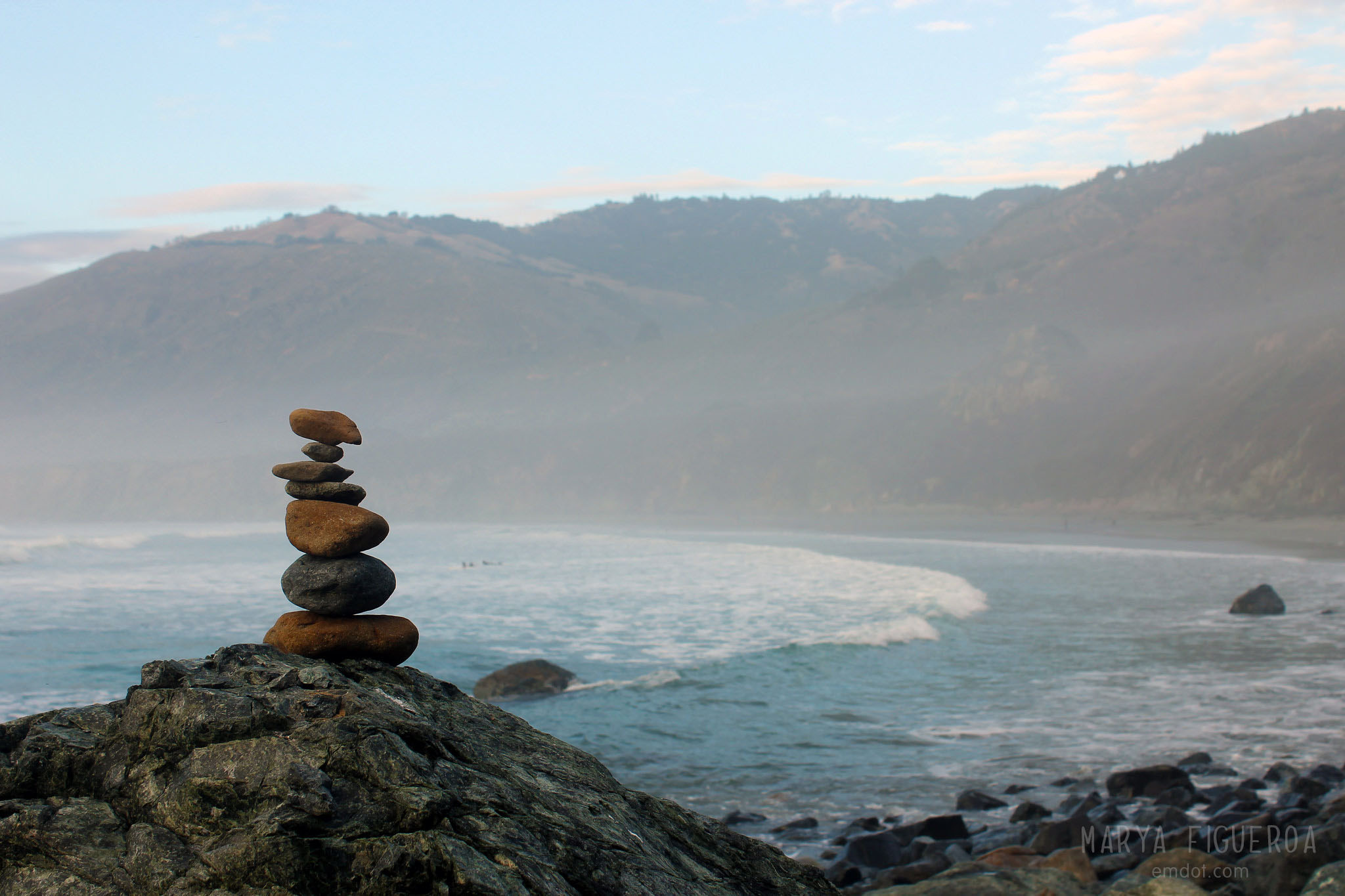
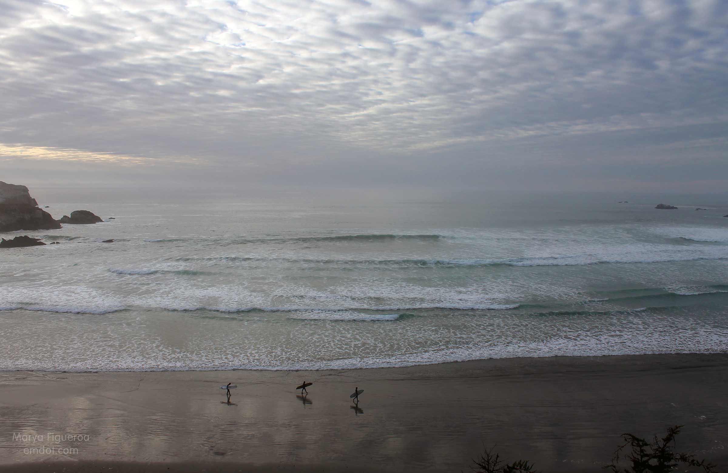
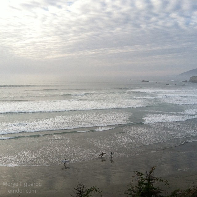
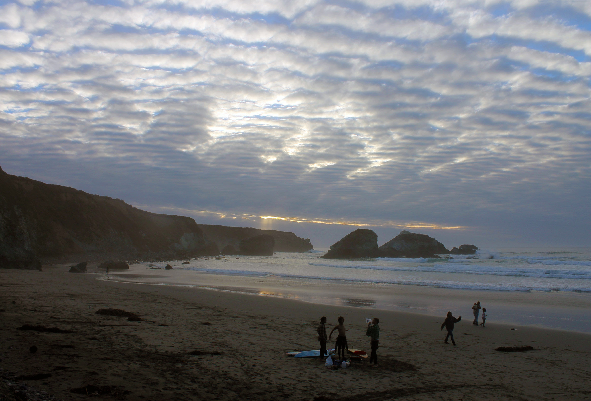
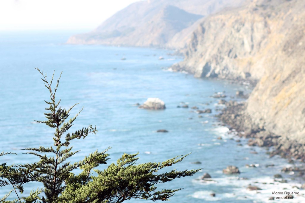
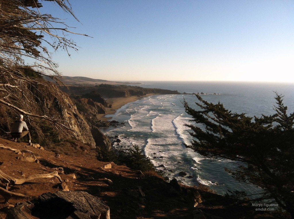
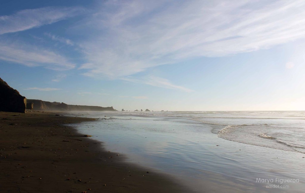
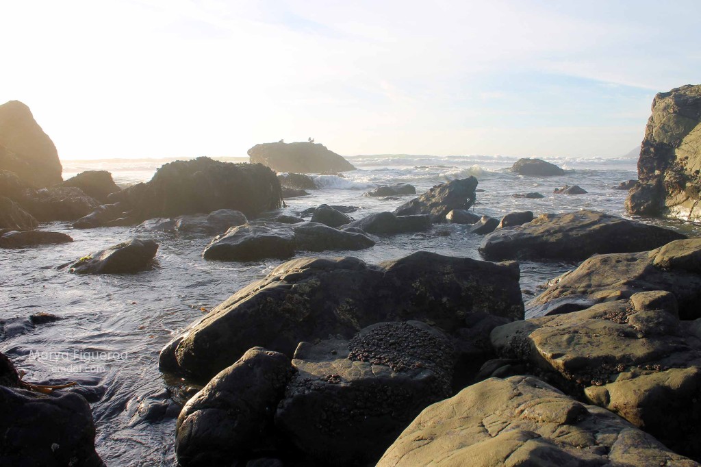
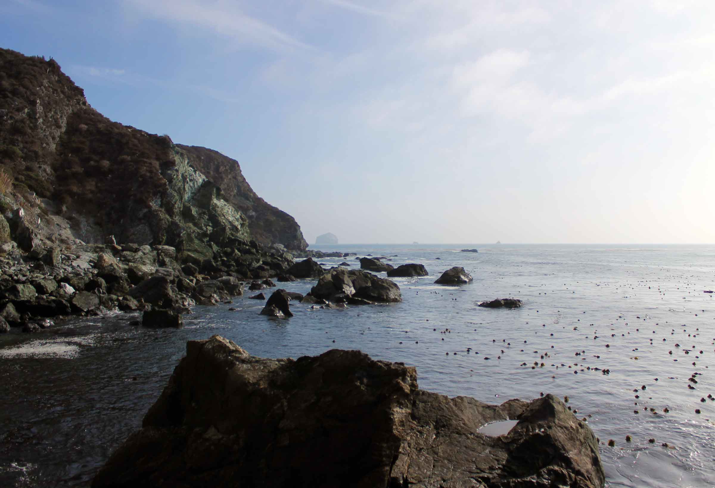
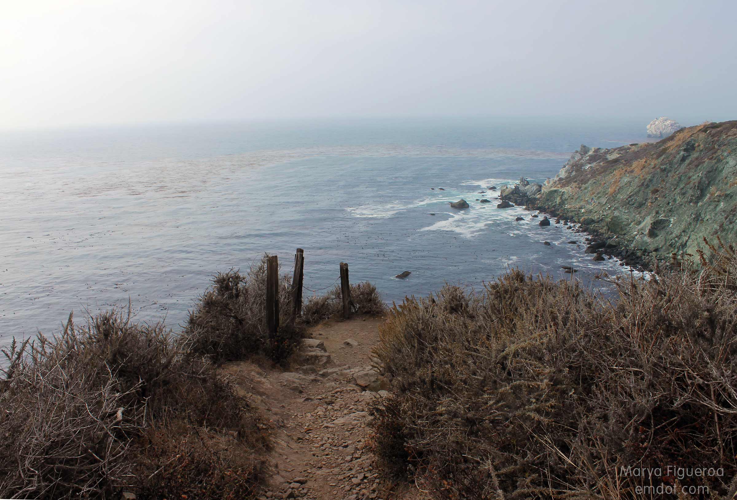
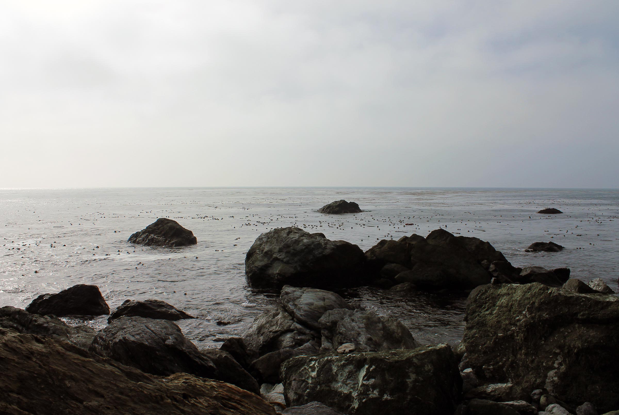
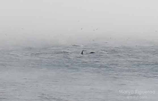
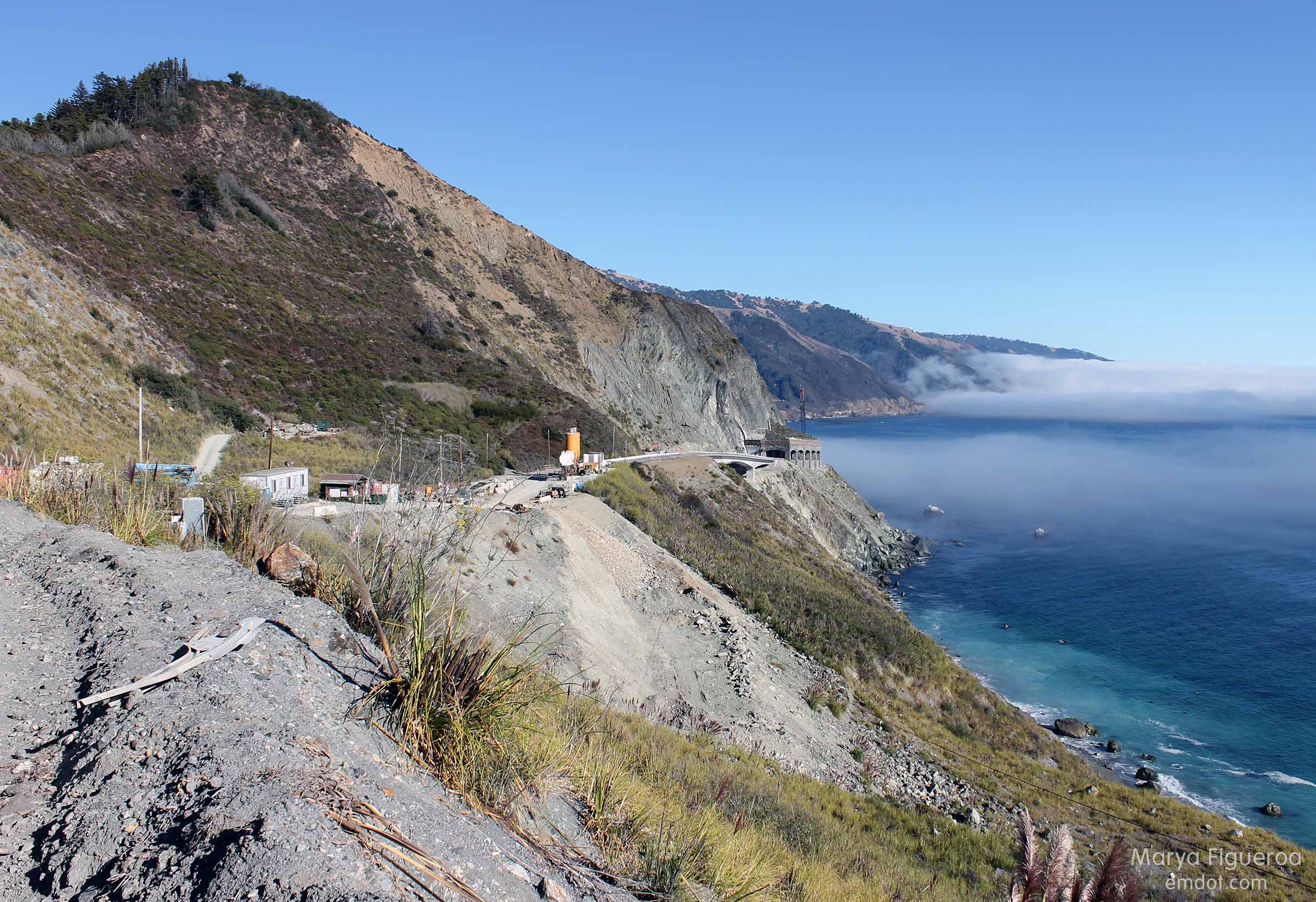
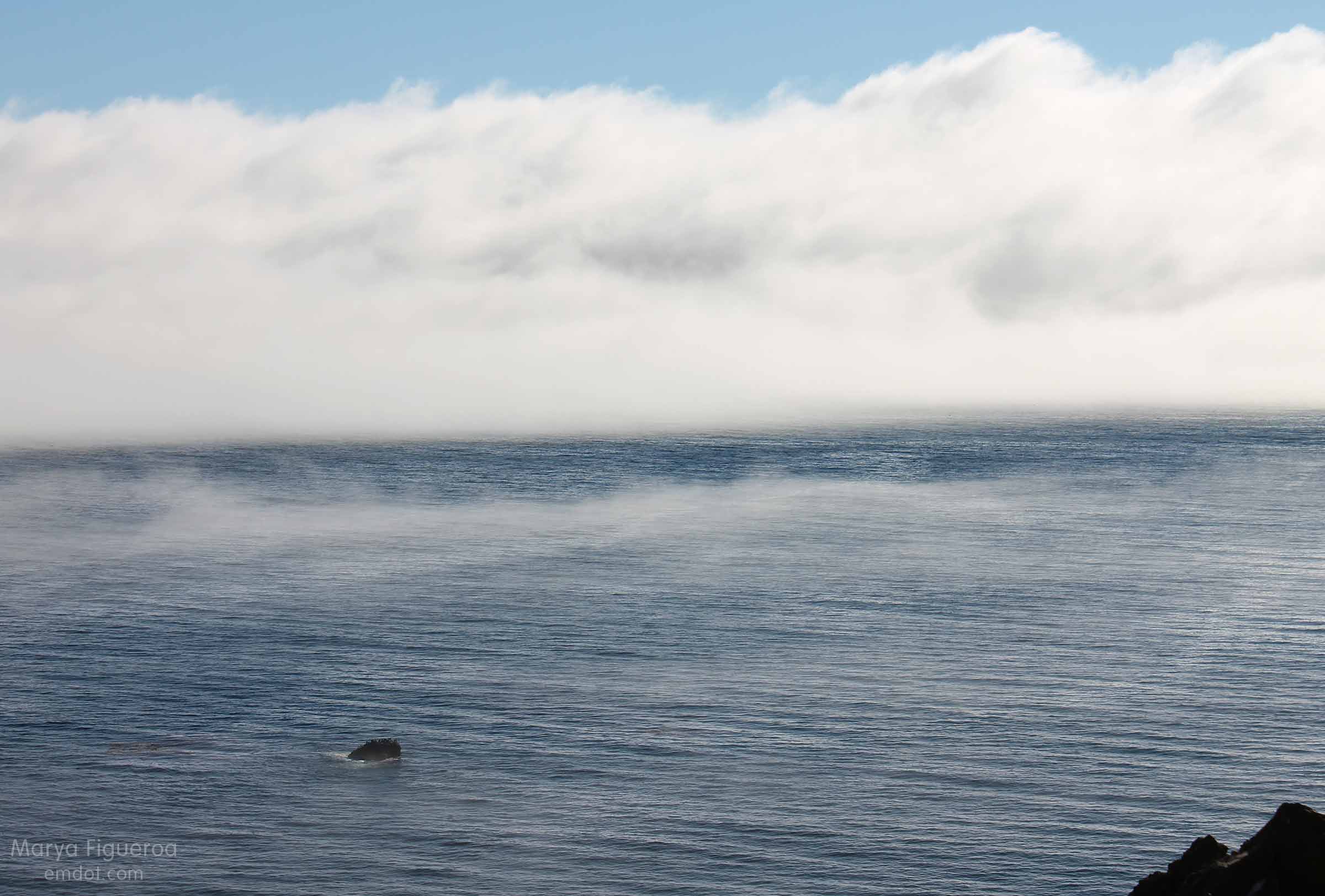
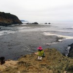
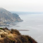
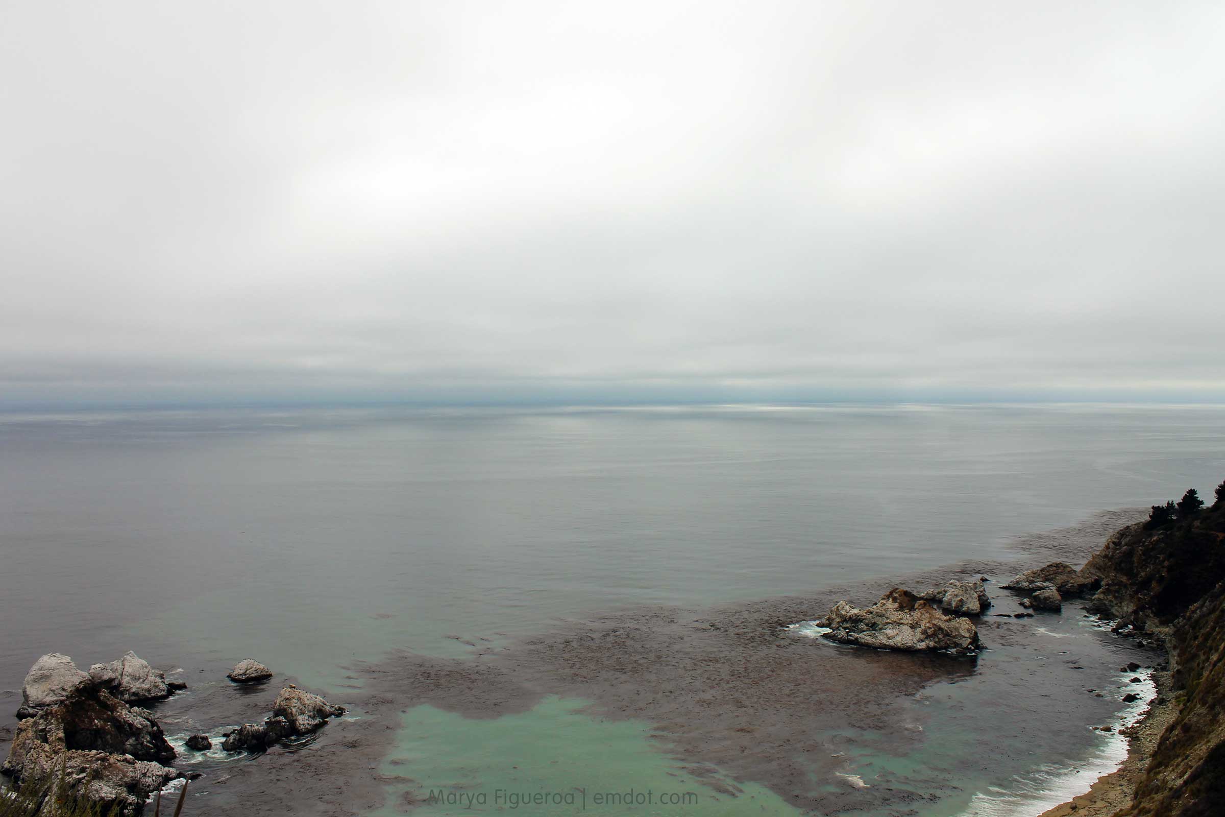
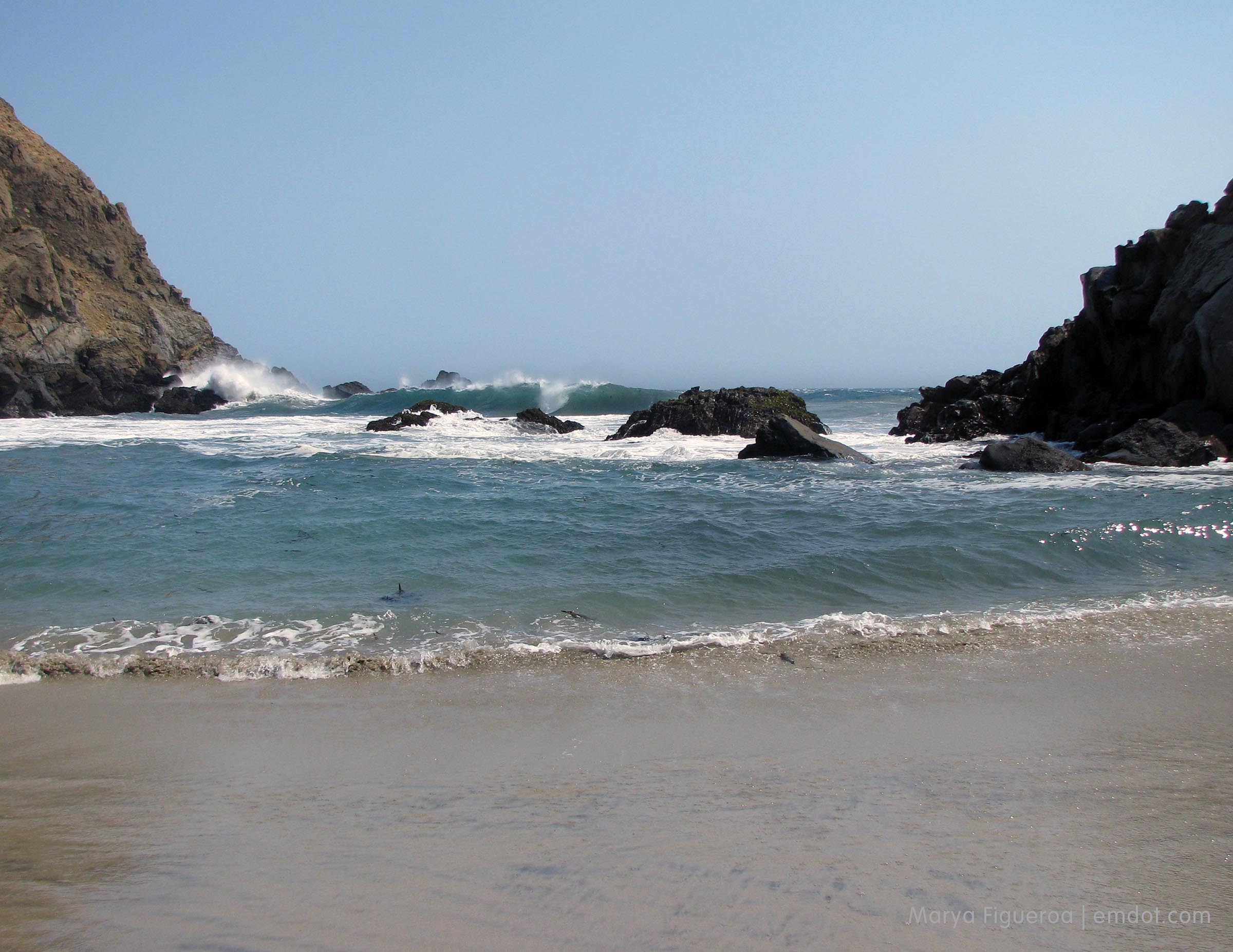
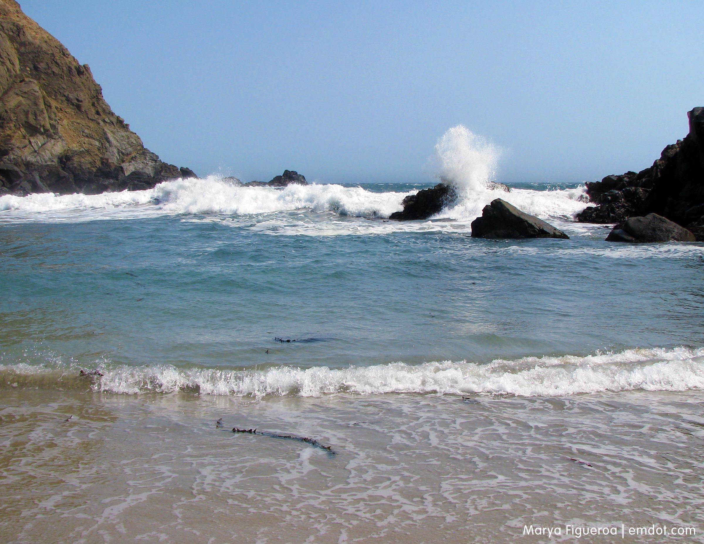
In my blog post about the beach trip I mentioned the wind. It was so windy that I feel the need to mention it again. And the waves were large and ferocious and there seemed to be 100 different rip currents at work. The beach is lovely and beautiful and scenic and gorgeous. Enjoy that and stay the hell out of the water.

Pfeiffer Beach

We saw waves hit this one beach from three different directions. Three. Directions. Waves. Big. Pounding.

Pfeiffer Beach

Do not let this calm fool you. This ocean, it wants to eat you.

Pfeiffer Beach

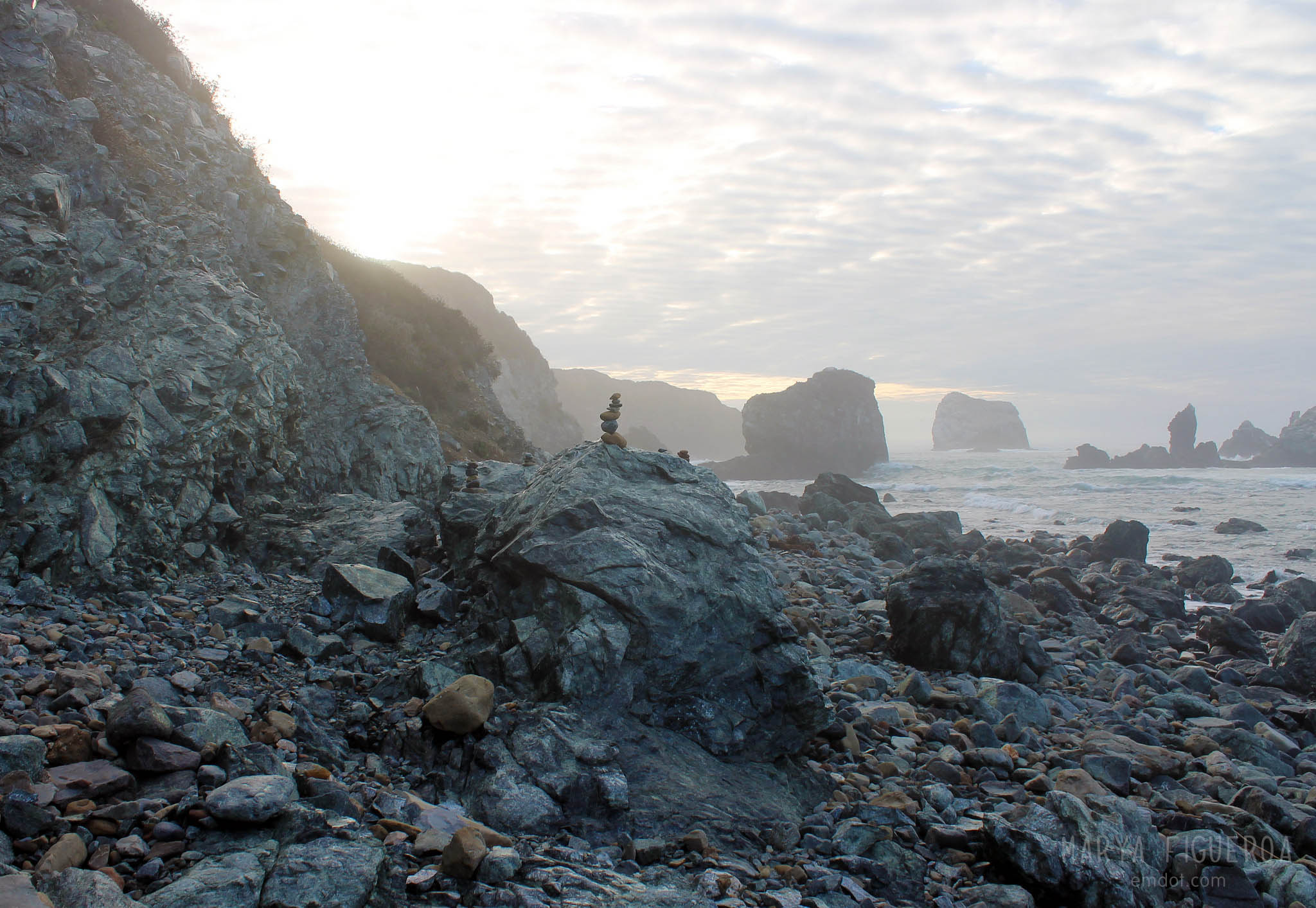
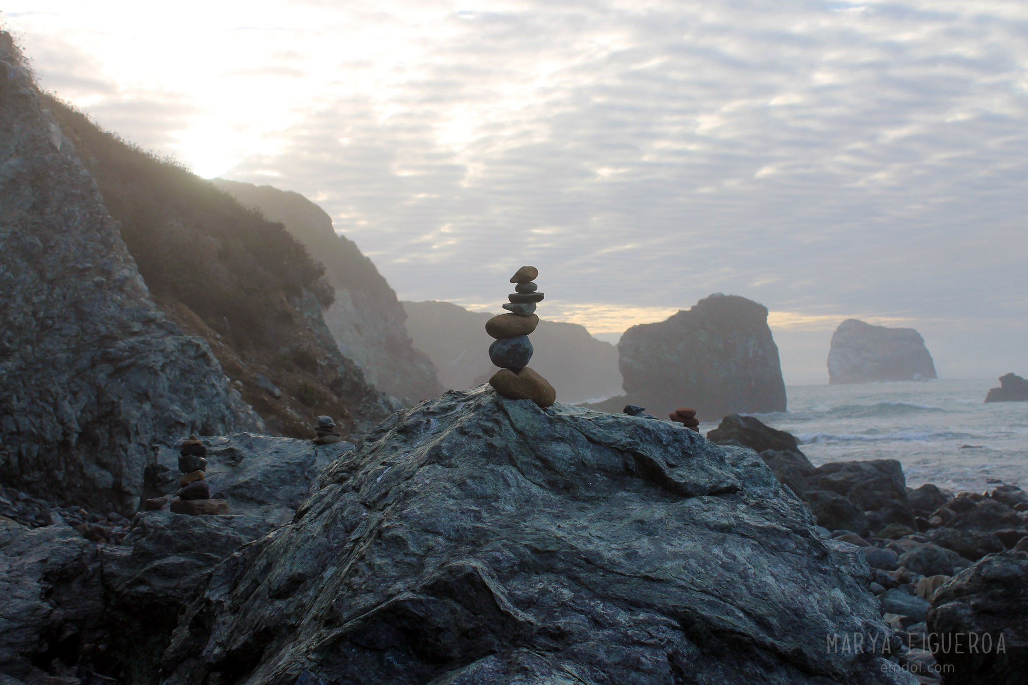
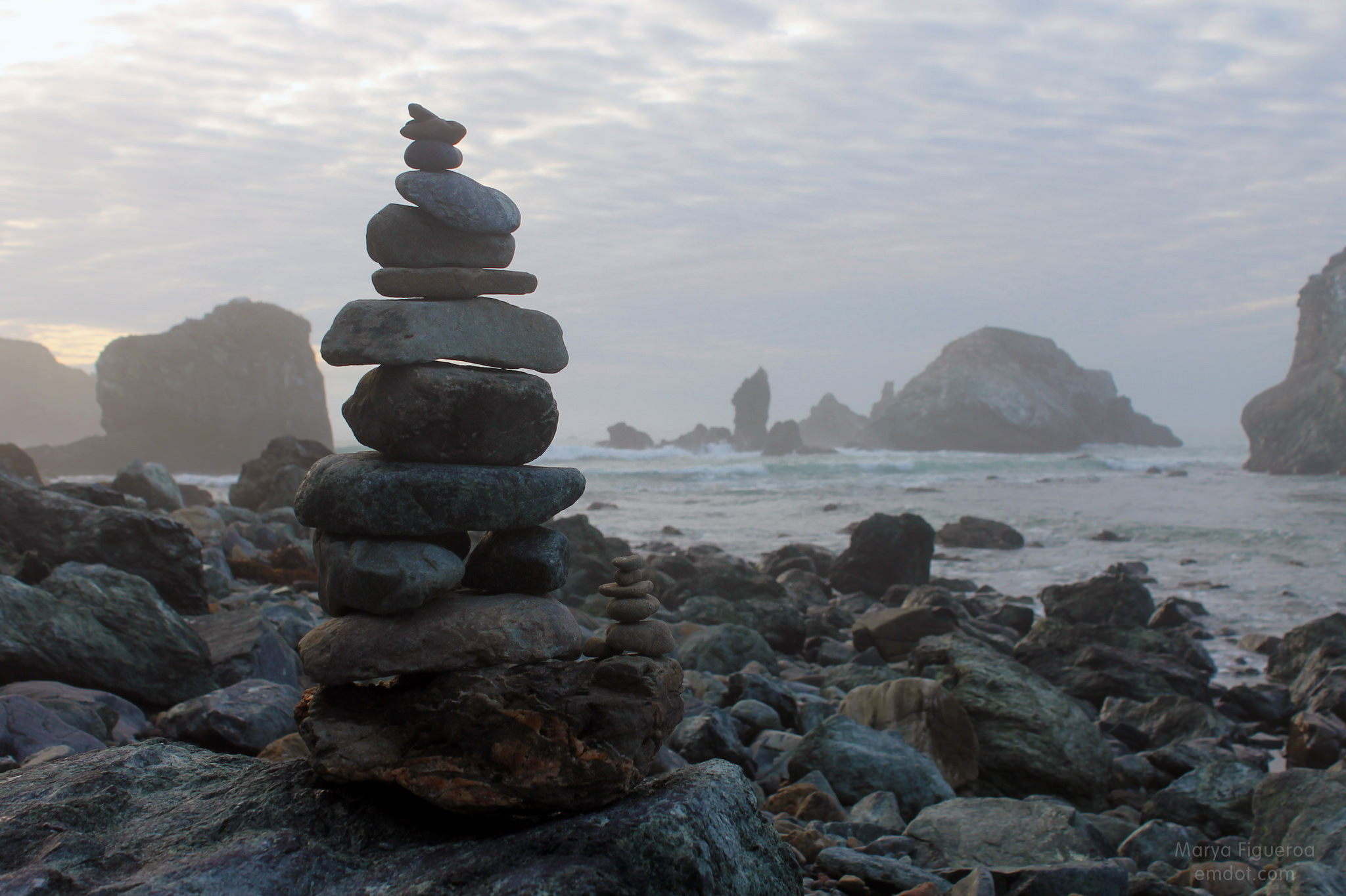
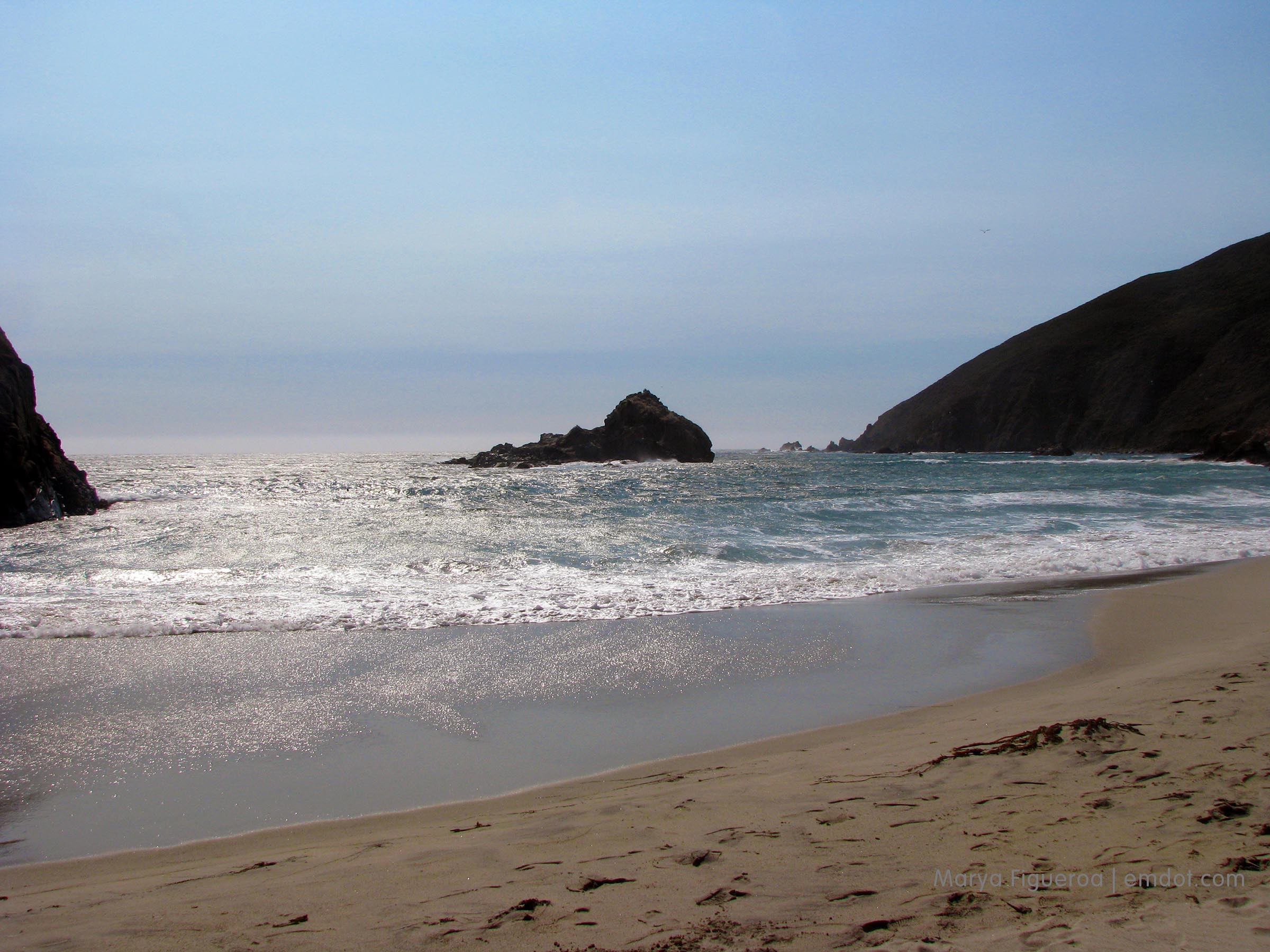
The extra awesome bonus of this beach is the purple sand. I didn’t know about the purple sand before we went, and truthfully, I was so focused on keeping sand out of my camera that I didn’t even notice the purple sand until we were practically off the beach. “Wait,” I said, “is the sand purple?” In places, yes, but I (really) couldn’t believe my eyes. They were probably fatigued from all the squinting I’d had to do to protect my eyeballs from being sand blasted. Purple? What was I thinking?

But it is purple in parts and some people on Flickr have the photos to prove it.

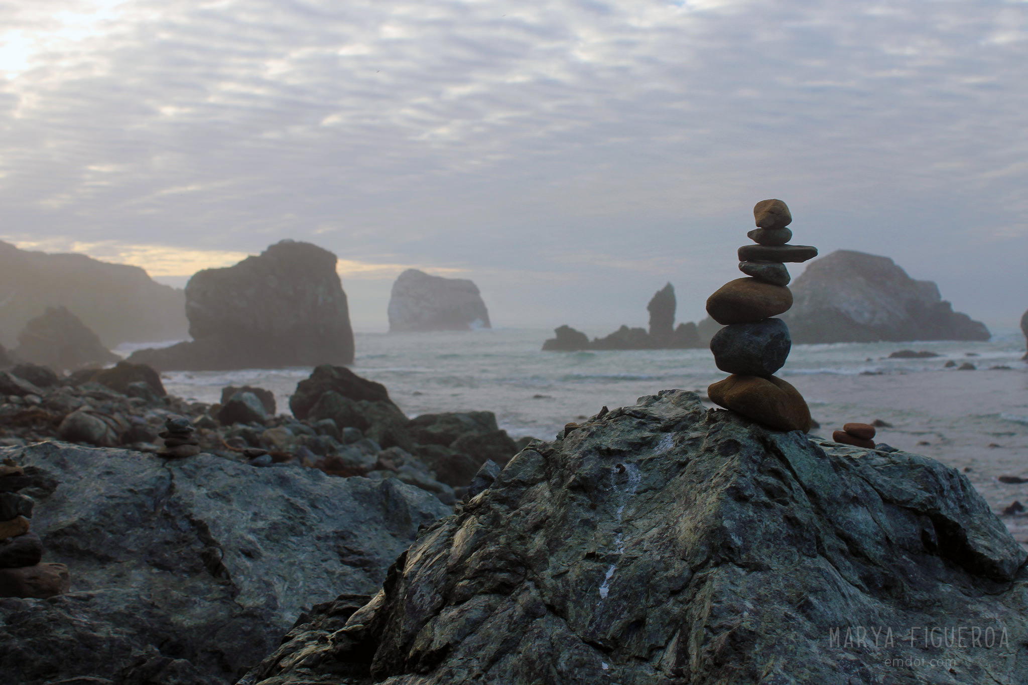
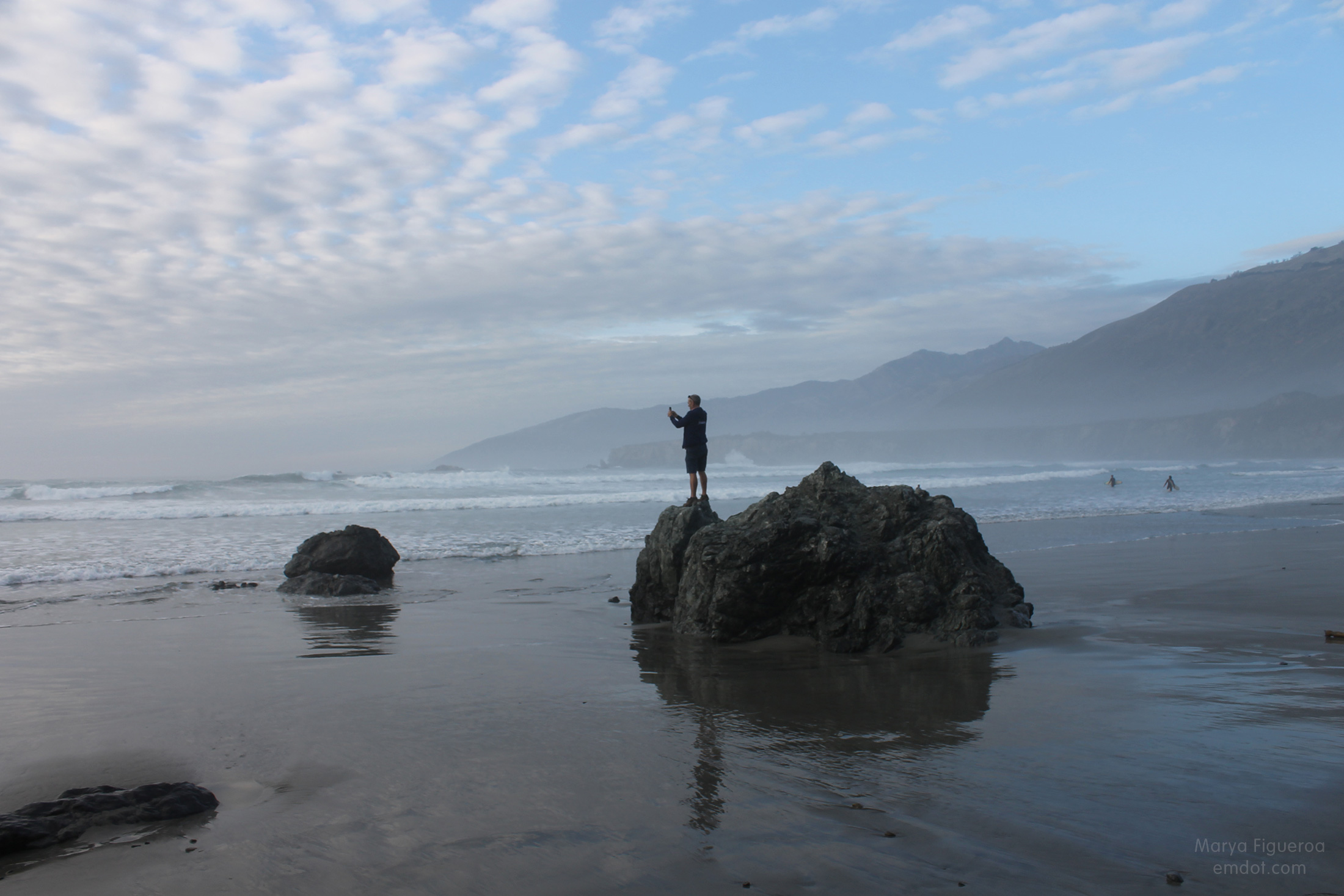
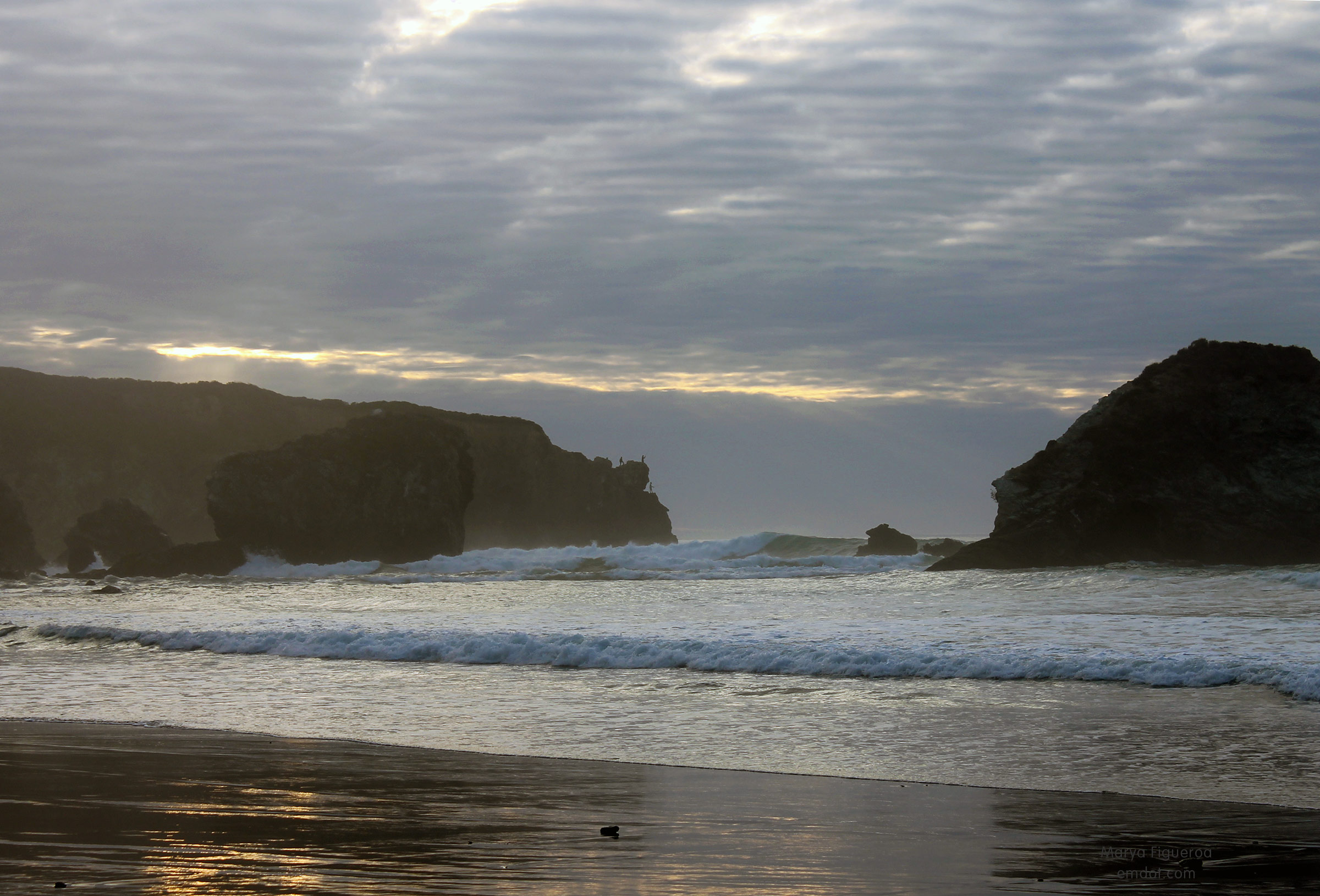
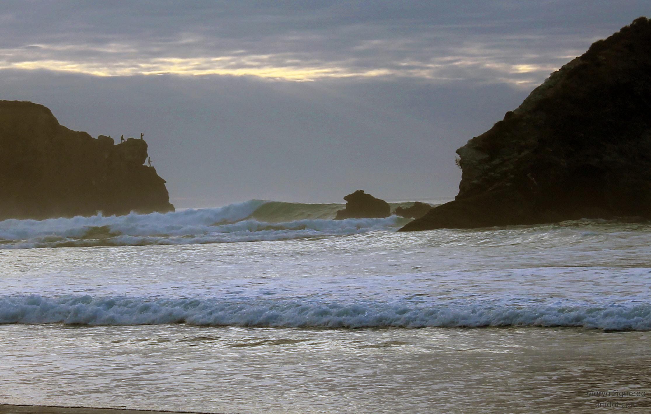
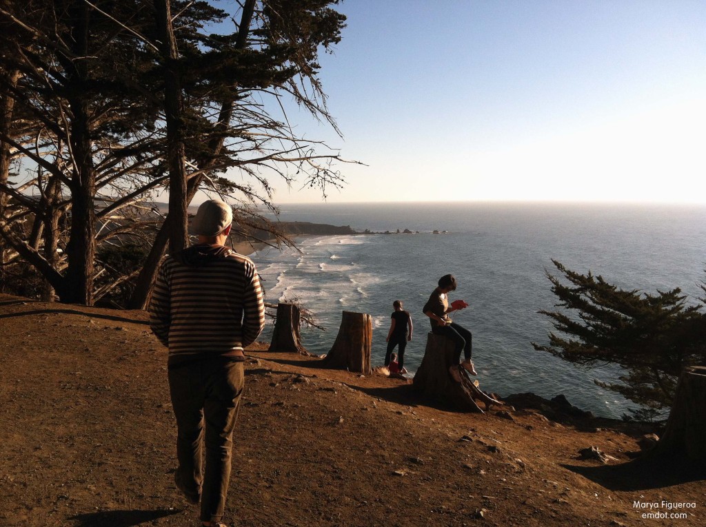
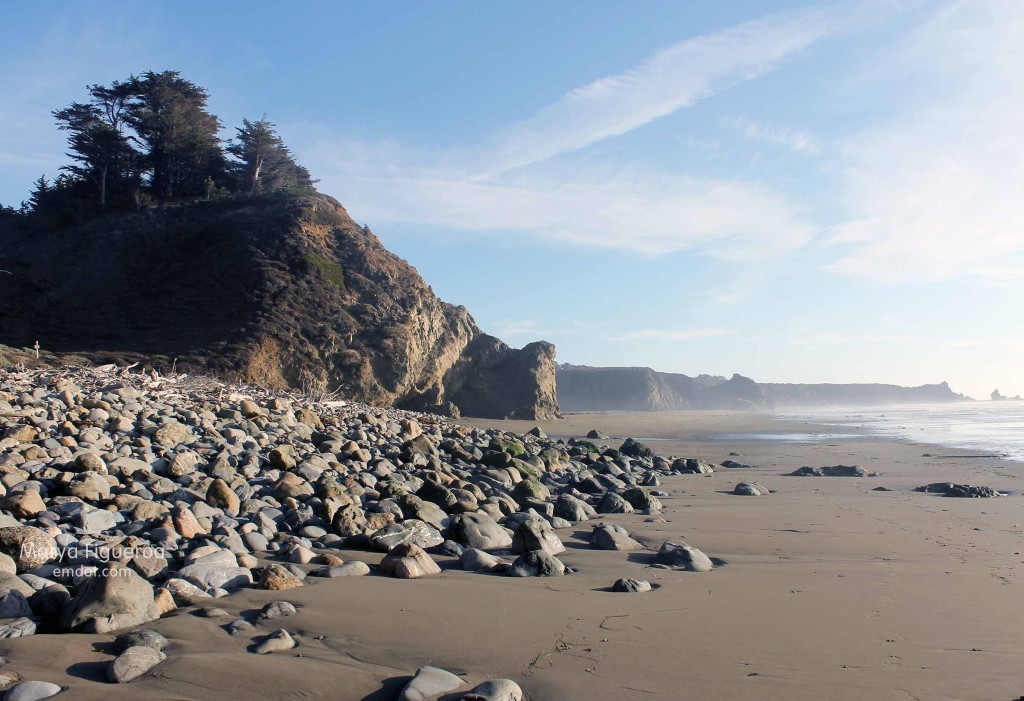
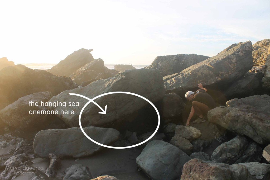
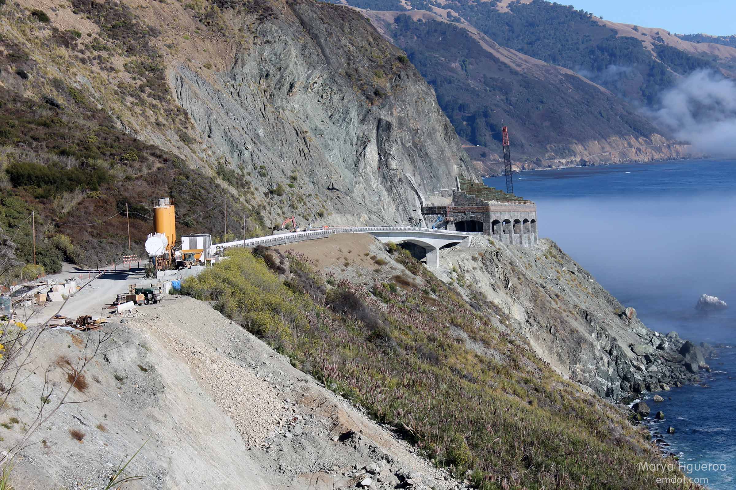
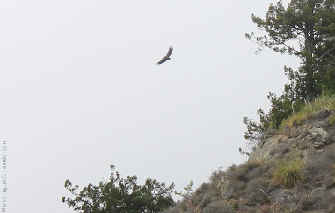
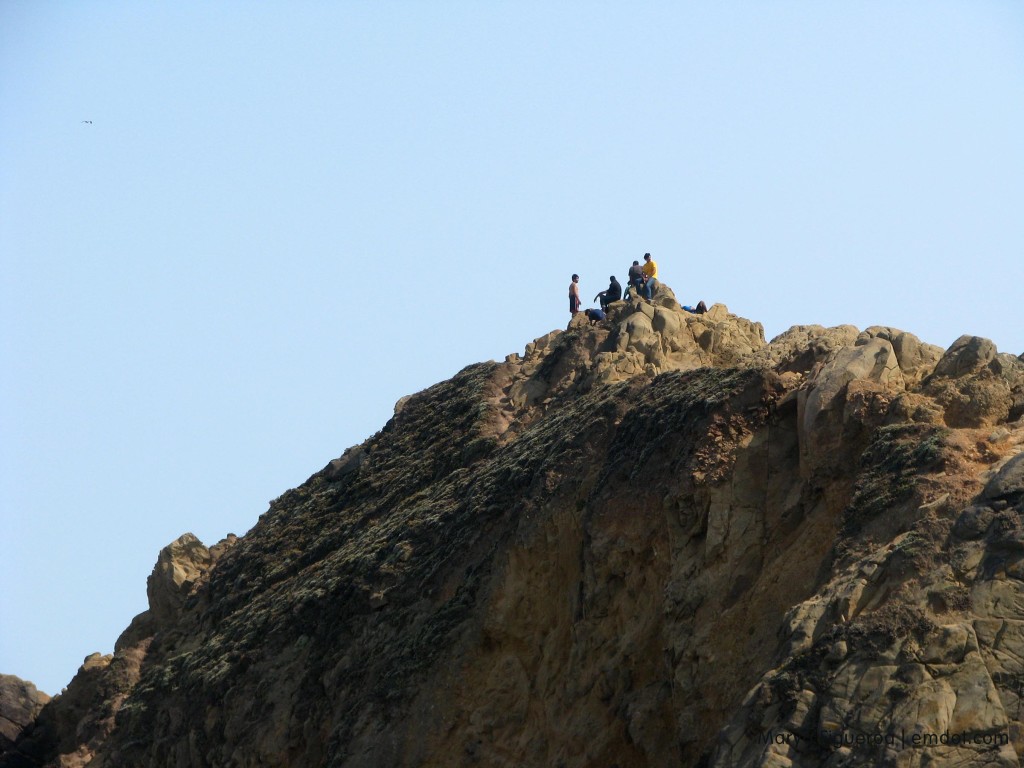
Pfeiffer is famous for a couple huge looming wonderful rock formations. I didn’t get any good pictures of the beautiful light that streams through the natural bridge or the crashing waves that burst through the holes. But these guys climbed to the top and hung out for quite a long time.

Pfeiffer Beach rock crop

All in all it was a great trip. I’m ready to go again. I think leaving early in the morning was key. Usually when I go to Big Sur I get there in the afternoon. Or, if I’ve been camping, I leave in the afternoon. So the whole driving-early-in-the-morning thing was new to me and I think it made the whole trip better.

Tips for next trip? Maybe leave even earlier and bring a couple carrots for the zebra. Not really. I hear they bite. But still. Zebra.

June 2013