Cairns at Sand Dollar

140125-cairns-1

Big Sur Month 11, part 2: The rock stacks

140125-cairns-2

One of the surprising things from my beach and Big Sur adventures were the number of rock stacks we came upon. So many of the beaches I went to were rocky and so many of them had cairns. Even when Steve and I were the only ones in sight, the only ones on the trail, the only ones upon the beach, we’d still often come across a cairn or three (or twenty).

Sand Dollar was no exception.

140125-cairns-3

I especially loved the echo of the sea stacks in the rock stacks. Sentinels on shore, sentinels at sea.

140125-cairn

140125-cairns-5

140125-cairns-5

140125-cairns-5

Sand Dollar in January

140125-6-3surfers

January 25, 2014. Big Sur Month 11.

Sand Dollar beach is at the south end of Big Sur, “across the street” from Plaskett Creek (my favorite camp ground). It’s one of those beaches that changes dramatically with the tide and the seasons. Sometimes a wide expanse of sandy beach. Sometimes only rocks and bank.

140125-3-hikedown

I added quotation marks to its proximity to Plaskett, because it’s really the parking lot that is across the street. The beach requires a meander of a walk and steep stairs that take you down to the beach itself.

140125-4-trail

We caught it on a subdued day. Everything muted, quiet; muffled by the cloud cover. There was a sense of aloneness, even with others around you. The ocean and the clouds loomed large, creating a sense of smallness to everything else.

140125-7-instagram-sanddollar

140125-steveonarock

Steve and I took different beach routes. He perched on this rock, taking photos and making movies of the ocean and the waves. I walked south, underneath the cliff wall.

The south side of the beach — precariously rocky — was underdevelopment. A subdivision of cairns erected everywhere you looked, echoing the sea stacks in the ocean.

140125-cairn

140125-5-cliffers

140125-9-three-fishermen

140125-8-grom-sand-dollar

Ragged Point, approaching winter

Aloe and coastline
Month 10 and technically, well, I will admit that we went on November 30th, so there were two trips in November. But December was crazy (almost a week in SF, holiday bru ha ha, Christmas, New Years and yadda yadda) so I’m glad we went a little early. And we didn’t venture far north, just Ragged Point.

Ragged coast line
There is no clear definition of where the southern most part of Big Sur starts. Big Sur the town is quite tiny and quite close to Carmel, hours away from us. The Big Sur coast, on the other hand, is 90 or so miles of rugged, curvy coast line. Some think it starts at the Monterey County line (which would be just above Ragged Point). Others say Ragged Point. Other others say San Carpoforo. Still, other other others say San Simeon.

Perhaps all of these others are SLO County residents.

trees
Before I started my Big Sur a Month challenge, I considered somewhere around Salmon Creek as Big Sur. About two months into the challenge, my consideration began to slip southward. Now I embrace San Carpo as the beginning of the Sur.

trees
Ragged Point has been a fun afternoon jaunt for me and my family for about 15 years. It’s a beautiful drive and you still have radio stations and there is a cafe where you can get a burger and some fries and a shop with hippy-arty Big Sur goods.

lawn
And there is a gorgeous lawn that sports several adirondack chairs. It reaches out to the cliffside where you can gaze and marvel over the Pacific.

running on the lawn
It’s good for all ages, those that need help walking as well as those who need to run and jump and stretch their legs after hours in the car.

playing soccer at Ragged Point
The landscaping is gorgeous. Drought tolerant, mediterranean types of plants and succulents: pride of madeira, bougainvillea, and aloe that blooms in the winter all of which heartily welcome bees, monarch butterflies (fall, winter, early spring) and hummingbirds (year round).

Monarch
There is a steep cliff walk that goes to the beach at the base of Ragged Point. There is a waterfall (one of four on the Big Sur coastline.). I’ve never made it all the way down. Steve and I tried again on this trip, but the poison oak was too rampant and reached across the trail too far and too often. Our fear of blisters and incessant itching won out and we turned back not even halfway down.

butterflies

bees and butterflies
On the way home we pulled out just above San Carpoforo (where’d we been just a few weeks before). It has cut down pine trees (bad beetle is killing these trees) whose stumps act as handy bar stools. We sat and shot photos and took it all in.

Stopping above San Carpoforo

Crouching to take the photo

Looking at San Carpoforo from above

Sitting and looking

me, month 10 in big sur

San Carpoforo

Week 33 and the last beach of the challenge.


Steve made the movie. I love it. It’s perfect. If a picture is worth 1000 words, a video is worth an entire blog post.

The beautiful, vast beach at San Carpoforo
San Carpoforo. Some consider it the southern-most tip of Big Sur. Vast. Wide. Big. Gorgeous waves. Gorgeous beach. Driftwood city. Sea anemone paradise. I love this beach. I love this beach. I love this beach.

Hike entrance at San Carpoforo
You park on Highway 1, a few miles north of Piedras Blancas. The beach itself is at the end of San Carpoforo canyon and creek. It’s a medium walk through chaparral, then along the creekside that peters out before it reaches the ocean.

Plover posted: yield to the plover
Snowy Plovers, little miniature birds just six-inches tall, lay their eggs on the sand and, consequently, rule Central Coast beaches.

driftwood along San Carpoforo creek
The beach is a great one for driftwood. And driftwood architecture.

Driftwood hut
Driftwood and sea rocks. Rocks. Big rocks. A cove of them.

Big rocks in a cove, cyprus on an outcrop

from the rock cove, looking north this time

Rocks on the beach

rocks out to sea
Maybe you can’t tell from this photo, but it was a super low-tide. These rocks? Probably not exposed often.

location of the hanging anemones
Case in point: the underside of these rocks was lined with hanging sea anemones.

hanging anemone
Hanging sea anemones… like something from a science fiction marine biology field trip.

beach creation
While I explored the intertidal zone, Steve made a driftwood/kelp beach installment.

beach, looking south again

long, tall beach shadow

walking back to the car
Walking back to the car, the sunsetting behind us cast a pretty glow on the hills to the east.

cyprus, part green, part dead, colored by sunset
As well as on this cyprus tree. I liked the play of brown, dead limbs, green living limbs and the orange cast from the sunset.

sunset over the pacific
A beautiful sunset was the perfect ending to the day and a perfect ending to my Beach a Week venture.
Me, Week 33 at the beach

Jade Cove, Big Sur

looking out over jade cove
Week 32 (beaches). Trip 8 (Big Sur). With only two beach weeks left to complete my beach-a-week goal (running March through the first weekend of November) and needing to hit the monthly Big Sur goal as well, we set out to visit Jade Cove. It lies toward the southern end of Big Sur between Willow and Sand Dollar. While it boasts a name that sounds like you might hit a sweet bounty, the easy-to-find jade was gathered decades ago (or so it seems to me.). Still, it’s worth a visit if only to boast of the rope-required descent or to test your semi-precious stone-finding capabilities.

At Jade Cove, looking south
First of all, the hike. It starts out on a marine terrace, a dusty flat trail densely bordered by chaparral. This, to me, is the quintessential Central Coast hiking experience.

Top of the trail
But the hike to Jade changes quickly at the cliff’s edge.

Trail, cliff edge
Stairs help you navigate what could have been a tricky steep bit.

stairs down
From here on out it is a narrow-ish trail along the hillside, leading you down to the beach in a series of long switchbacks.

trail down hillside
It’s not too steep, not too precarious (until you get to the rope).

switch back
The very end of the trail is very steep and you will need to use a series of ropes to reach the beach. This looks difficult, but it really isn’t. In fact, the rope makes it much easier. (I wish more trails had them.)

rope down
Bonus: it makes for a dramatic photograph. Your friends will be impressed and you might have a nice feeling of adventure and accomplishment.

rope bottom
It was near high tide when we got there, so the beach that was available was small and rocky. I perched on an outcropping for most of the afternoon and just watched the waves lap the coast line as the ocean came in.

rocks out to sea
Steve, meanwhile was on the hunt for something interesting: an interestingly shaped rock, little piece of jade, maybe some moonstone.

102113-jadecove13k
Below you can see how little beach was available to us, and how rocky it was as well.

the rocky beach
Back up at the top of the trail, looking southwest across the marine terrace.

across the marine terrace
Jade Cove’s name may conjure grand plans in your rock-hunting mind. Maybe you will be a better rock hunter than me, and make the find of your life. If not, no worries. You’ll have a remote beach adventure and a sense of the rugged California that once was, and still is, in little pockets like this.

Me, Week 32

Back Bay, Baywood

Ysa walking the path
Week 31. 2nd Street, Baywood Park. It started at a soccer game. It morphed into lunch, strolling, beaching, and labrynthing.

looking back towards third street
The weather went from overcast and nippy to sunshiney to windy. The adults, we all kept our sweatshirts on. The kids would have none of that.

playing in the little dune
Nathan and Ysabel. These two pics sum up the Baywood Kid Life.

up this hill
Mom and Bec, up by the labyrinth.

Mom and Becca
I’m all for contemplative walking, but some days call out for silly running instead. Nathan ran the whole thing at least five times. Ysabel was right behind him.

Running the labyrinth
Winners.

Labyrinth victory!

Ice plant and boats

Water way

Me, week 31

Moonstone Beach

Such sweetness
Week 30. Of all the beaches, Moonstone Beach is amongst my favorites.

Steve and I had driven up to Cambria to see the Scarecrows and topped off the trip with a late afternoon stroll at Moonstones.
beach scene
There is a little inlet that runs along Shamel park and empties out on the beach on this day it was full of birdsong and crow squawking. If I was a bird I might also choose to sing and squawk here.
the inlet
There’s a nice little park at this beach. All that separates the beach from the park is this little fence.
131005-entrance
Driving home, we pulled over on Highway 1 to snap the sunset. The view to the south, tho lacking the bright colors of the setting sun, was still pretty, showing the march of the morros down to the rock.
line of morros including holister and morro rock
beachweek30

Poly Canyon (the last hike, ftw)

struggle graffiti
Breaking my arm at the end of August (and truthfully, it was the most tiniest of breaks) really threw my hiking trips for a loop. In fact, I resisted hiking and I really resisted taking photos with a “real” camera. I didn’t see it when I was in the middle of it, but it’s quite obvious looking back. My body and/or psyche just wanted none of it.
the sign showing the structures
I went two weeks without hiking and I gave myself a pass on this, deciding to do two make-up hikes as soon as possible. To me, I still reached my goal.
looking back at the structures
The last hike was Cal Poly’s Poly Canyon/Design Village. And, again with the “resisting” theme—I didn’t take one (not one!) photo on the very last hike of the goal. Talk about anti-climatic. I went back a week later, did the whole hike all over again and took photos.
this cool weird structure
The good part of this hike was that I did it with two new friends, Matt and Robin. They both recently moved to California (Matt from Pennsylvania, Robin from Utah) and began working at Cal Poly. It was really fun to go on this hike with two new transplants and point out things and share information.
graffiti inside the structure (faces with glasses)
The bad part of the hike was all the brown. We are so dry here on the Central Coast. Rumor has it that Phoenix (PHOENIX!) got more rain than we did last year. We are so dry that even the air feels brittle. Everything is a shade of faded yellow, faded tan, faded beige. Washed out. Sun parched.
graffiti of a bug or an alien or an alien bug
The lucky part: having a hike like this just minutes from my desk at work. Seeing hawks and horses. An easy hike to squeeze in to any busy day.
Looking out at the dry hills
See all the photos from this hike in a slide show (or on Flickr).

me, last hike

Hazard Canyon

watching the surfers
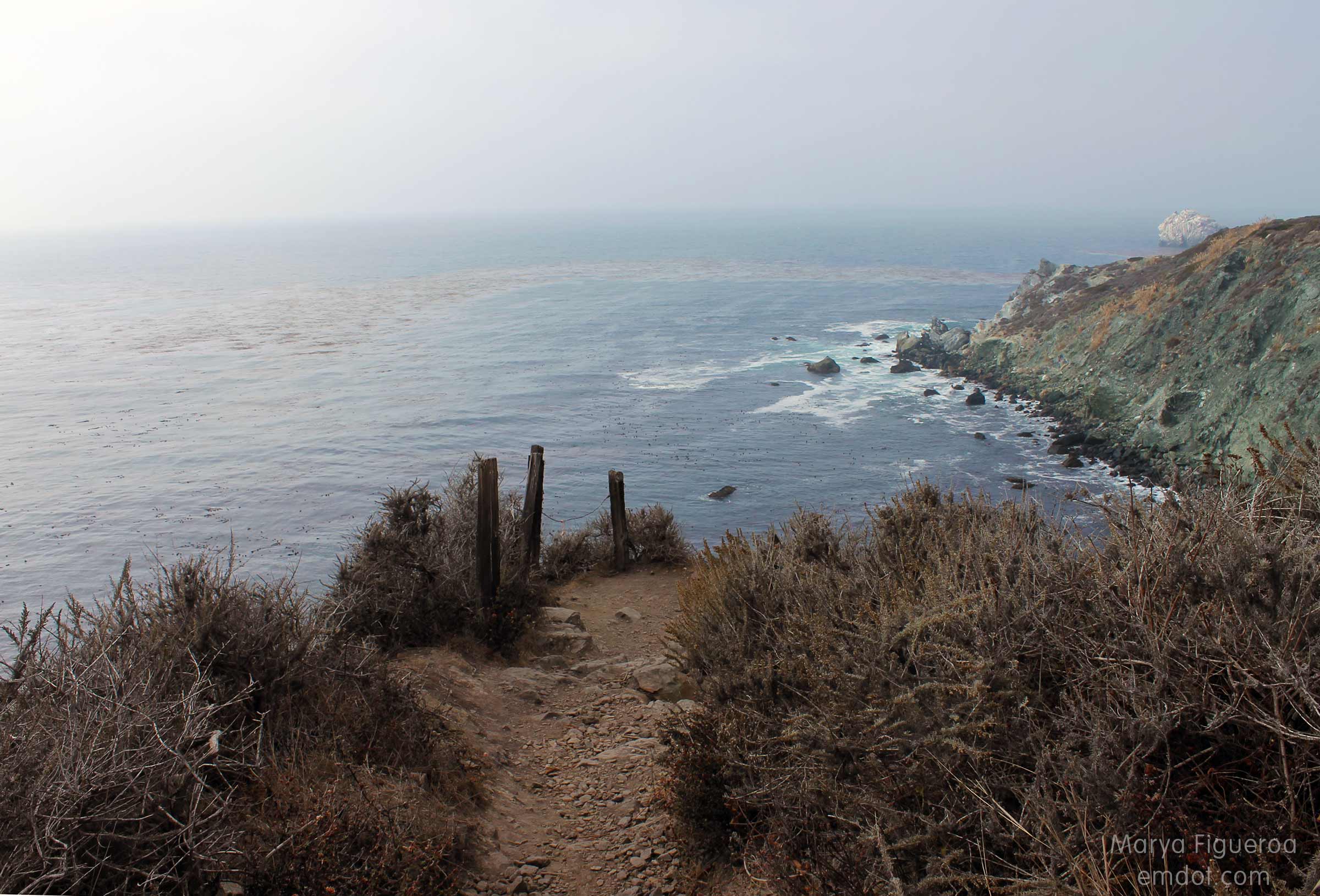
Week 29. September 28. Hazard Canyon was the quintessential secret surf spot on the Central Coast for decades. It was fiercely defended, protected, and monitored by local surfers. There was a time that if you were not a local and parked your car at the secret entrance, chances were you’d return to a custom “no tresspassing sign” opaquely displayed as a thick covering of surf wax over every window of your car. You could expect a fist in the water or someone paddling over your feet in the line up. Name calling and stink eye were the least of your worries.

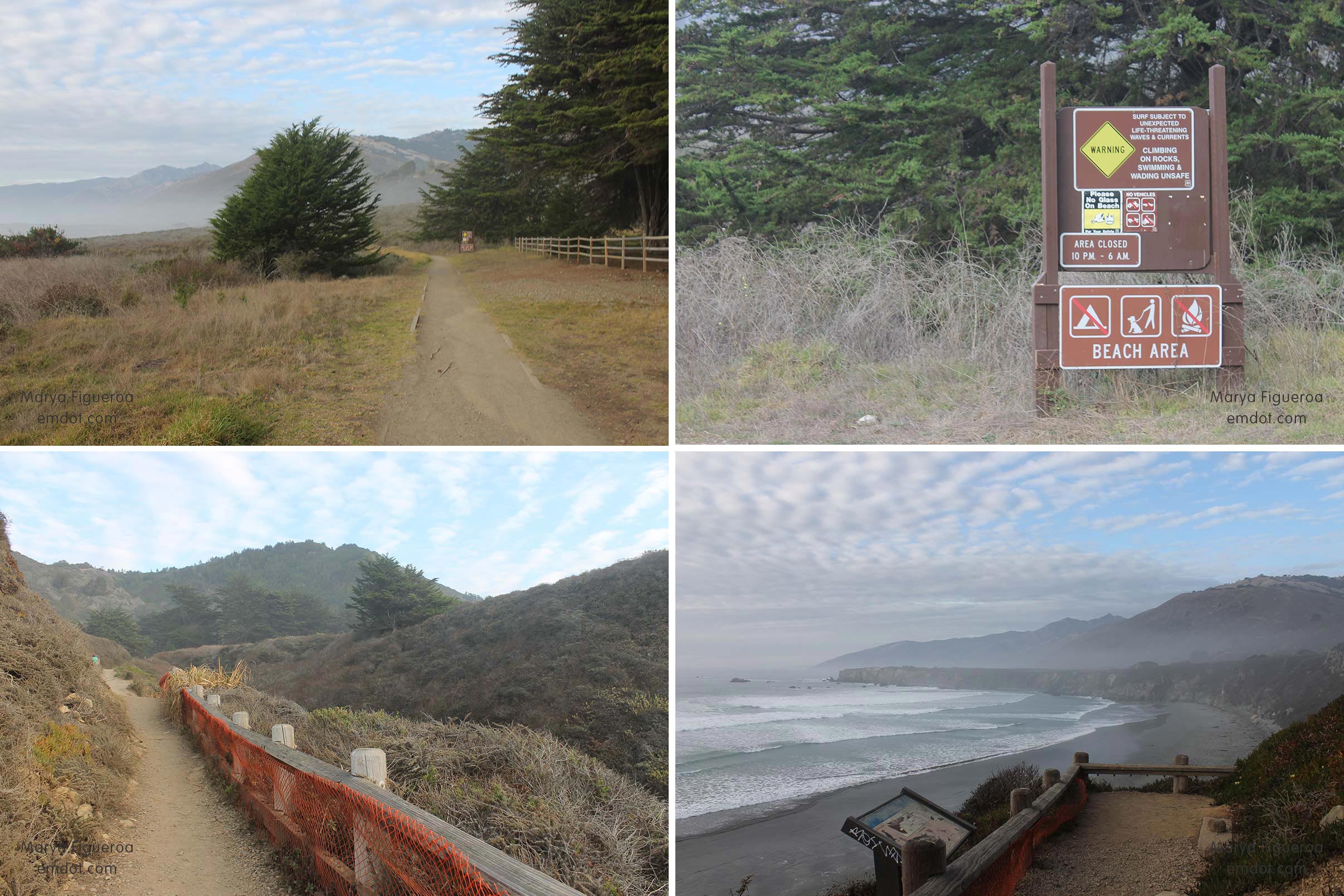
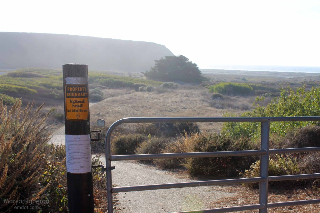
I don’t know when the spot was officially outed but I’ve seen it mentioned in Surfer Magazine and in at least one surf movie. A quick google search comes up with pages of links. An official parking spot was added by the MdO park (tho down the road from the traditional entrance), making it an easy place to get to for a day on the beach or in the water.

walking the canyon
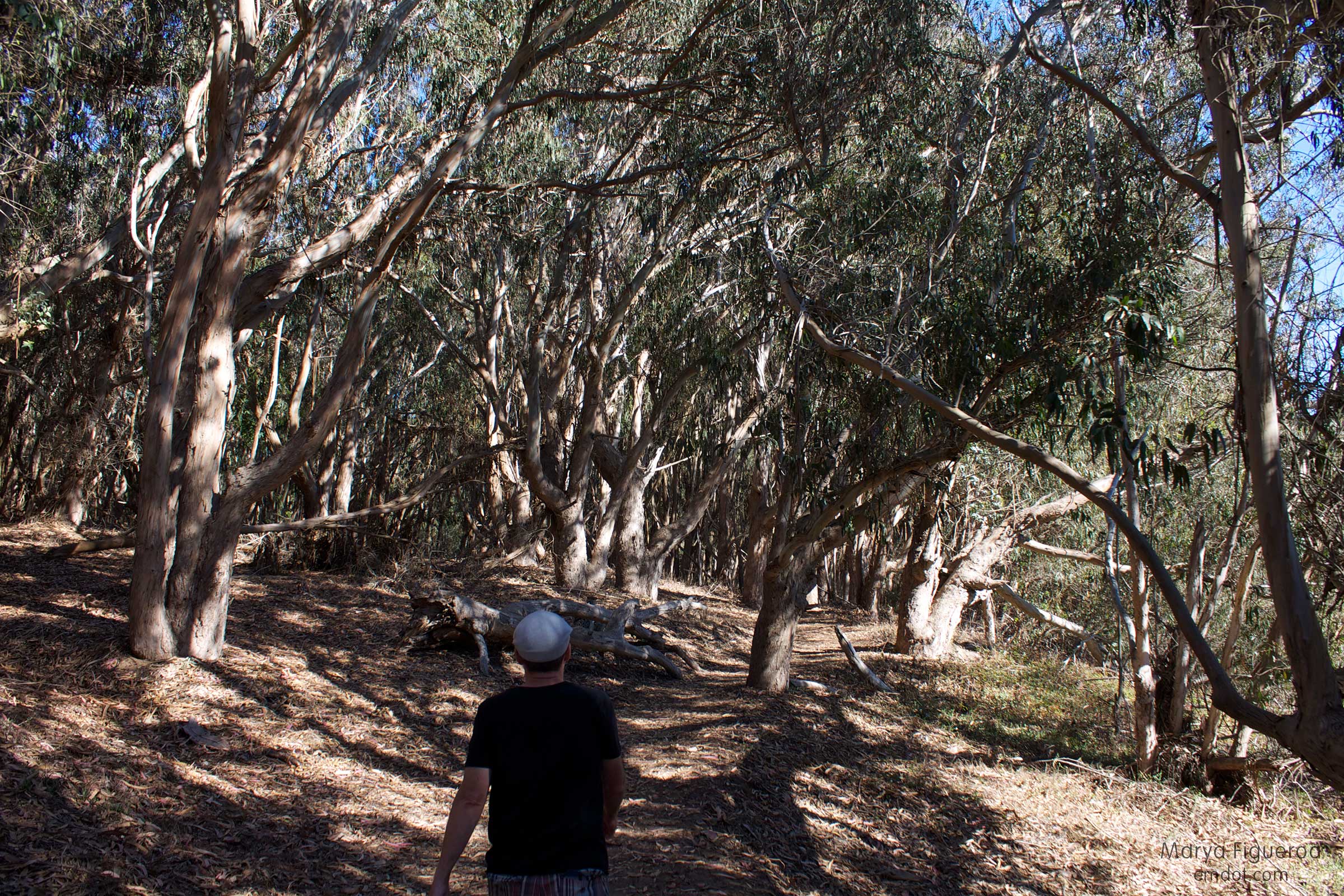
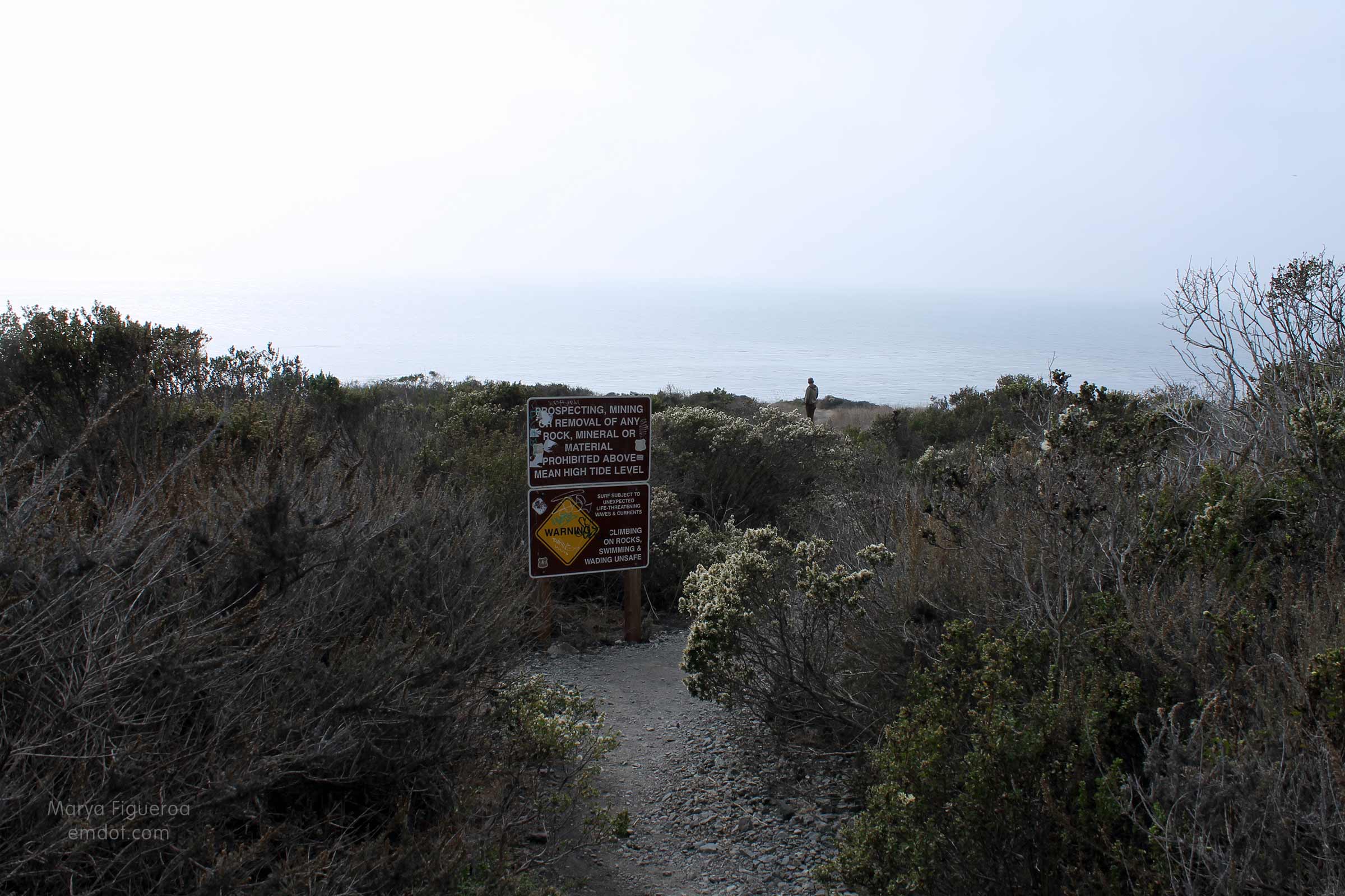
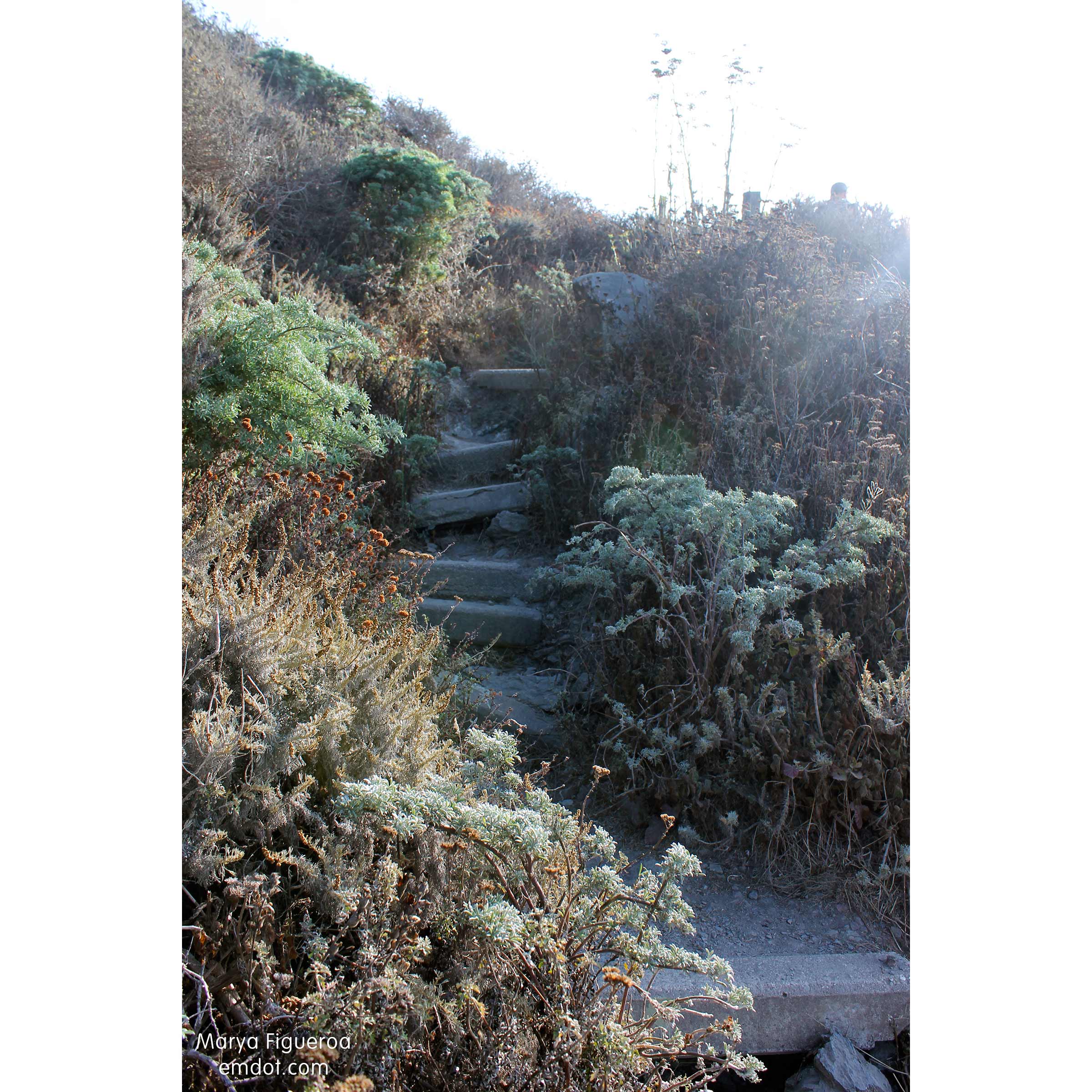
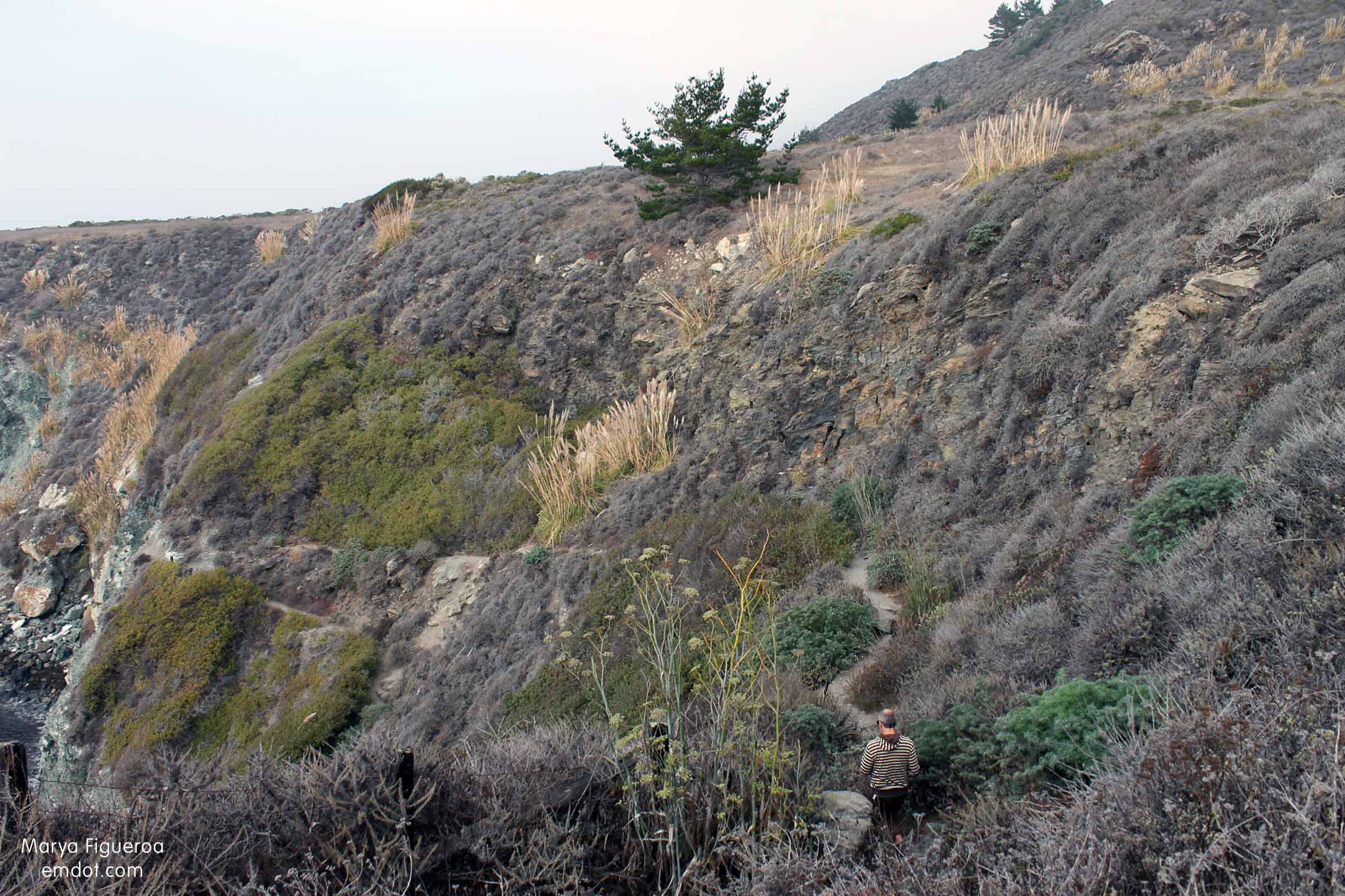
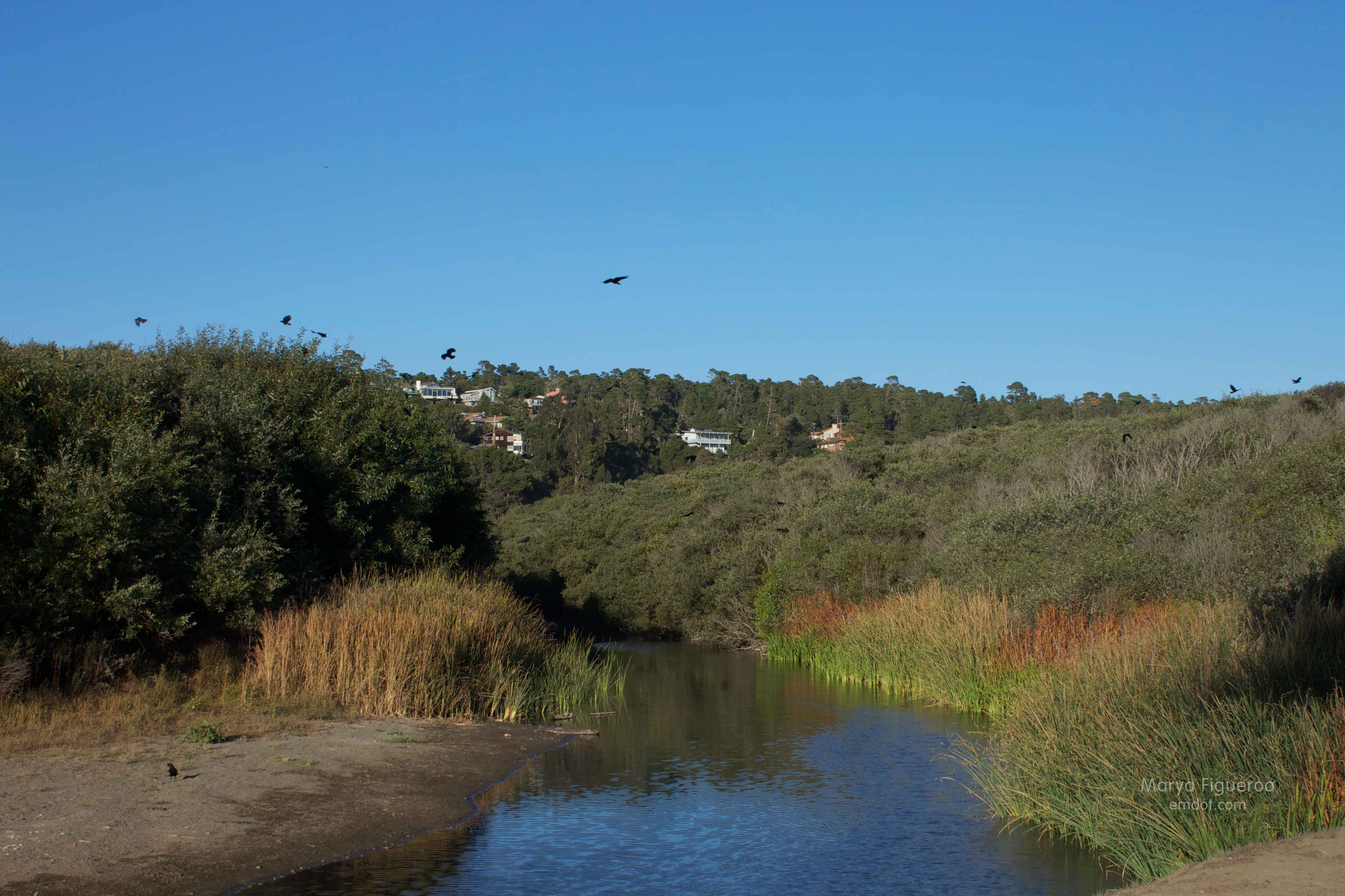
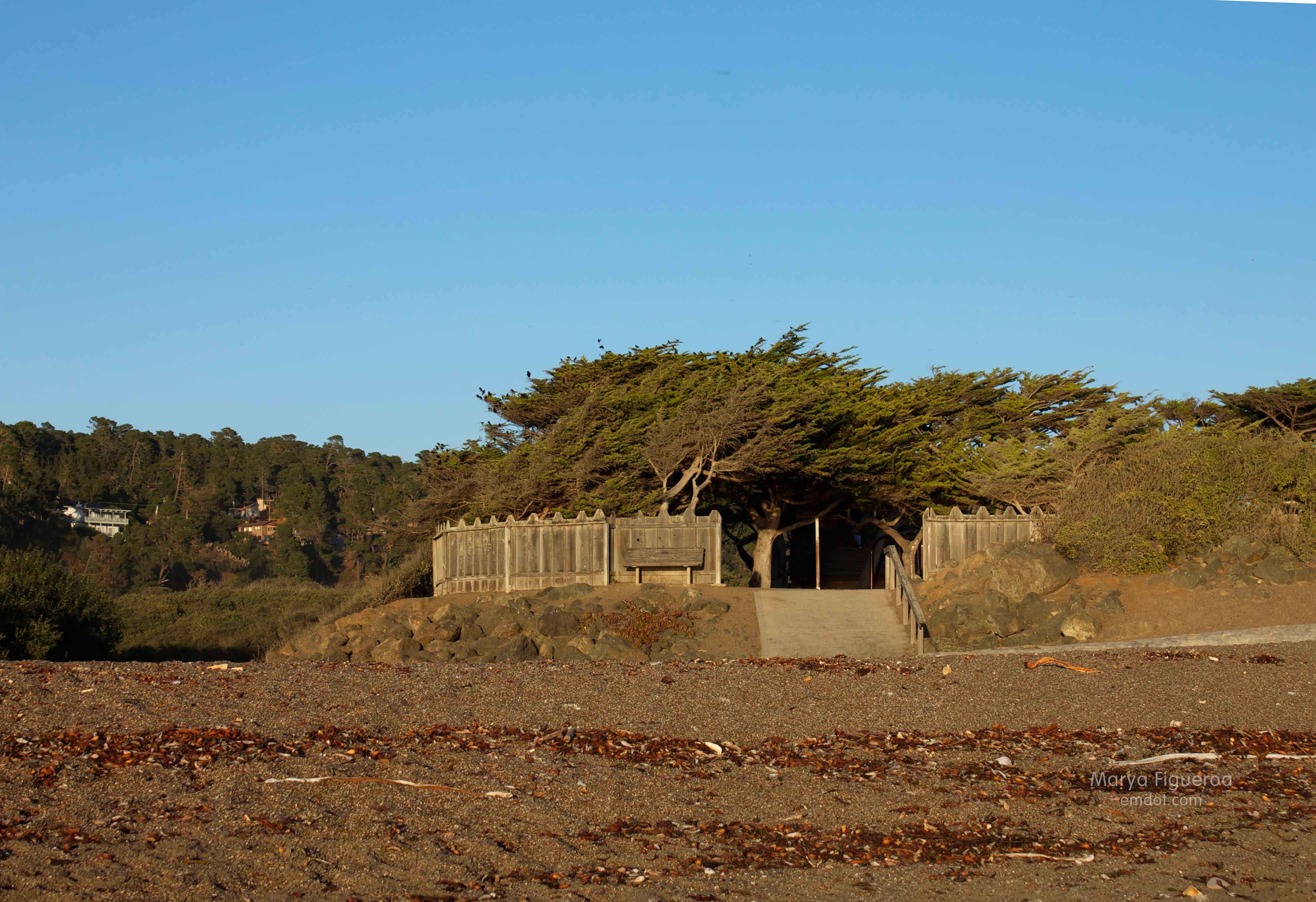
No matter where you park or your local/non-local status, it still requires a long walk in through a eucalyptus stand and thick sand.

So many people on the beach
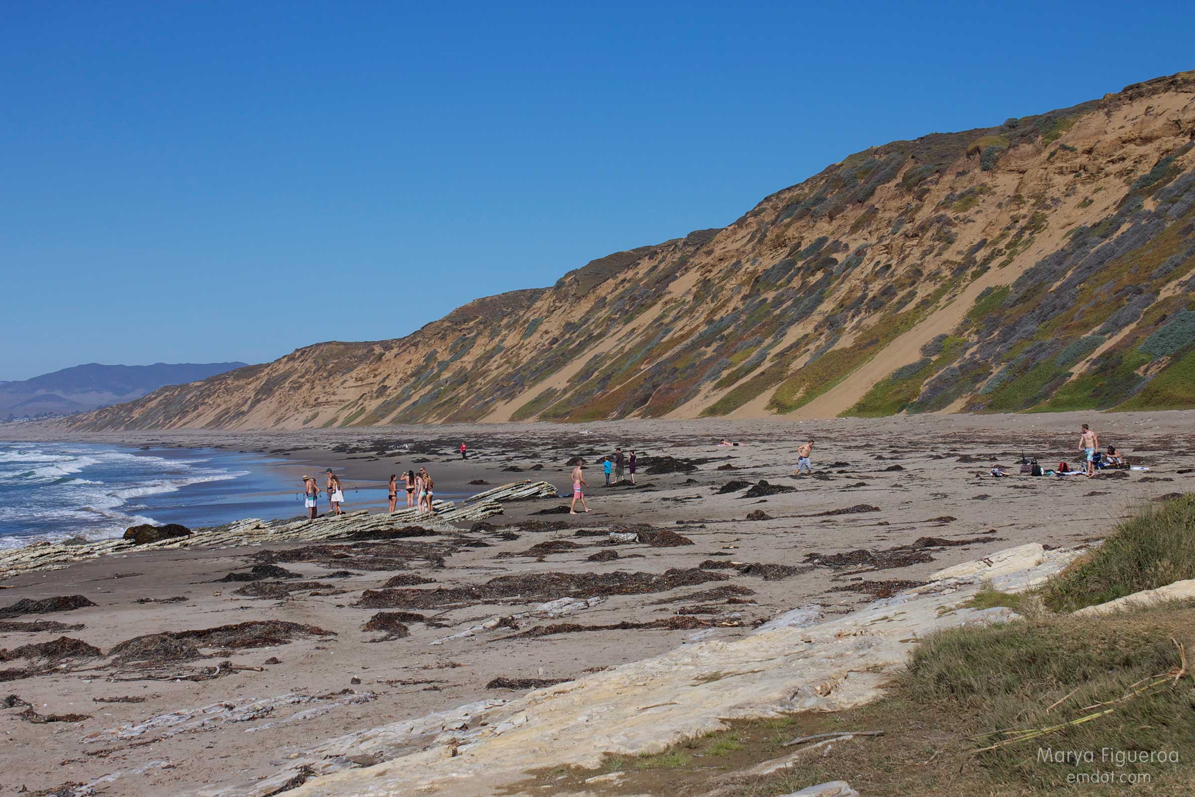
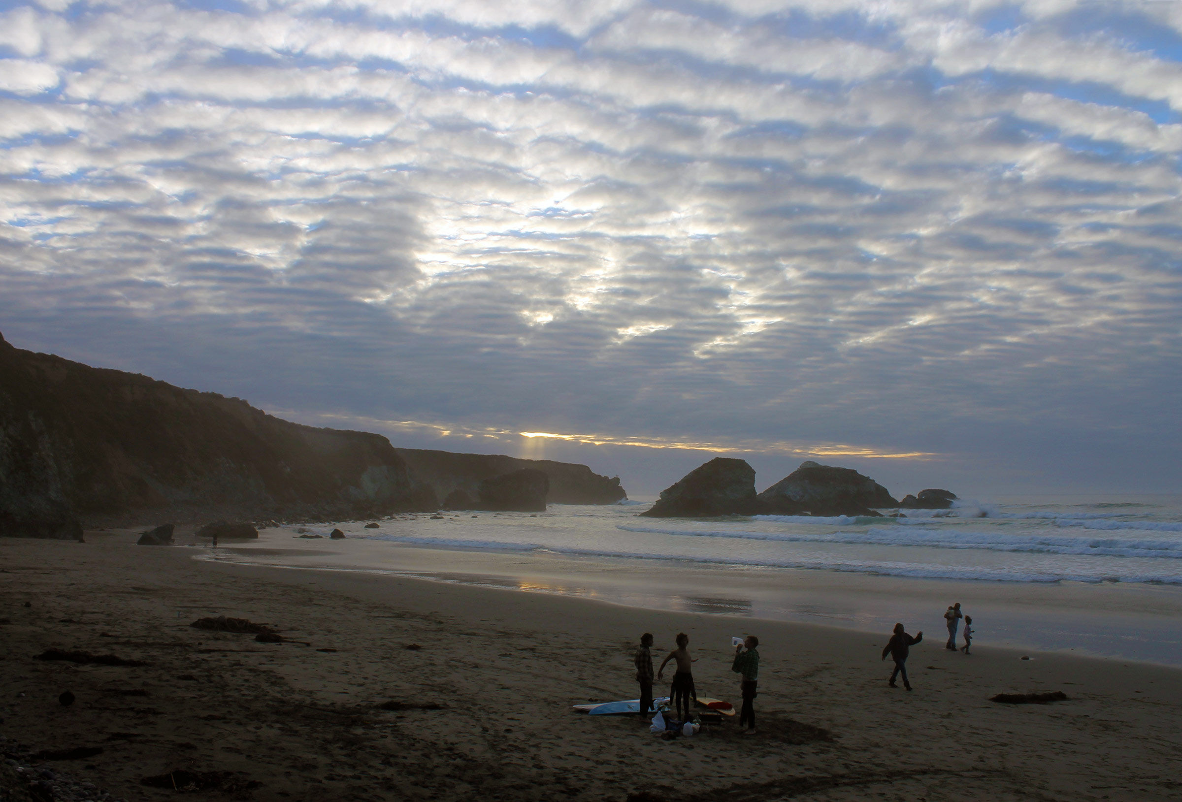
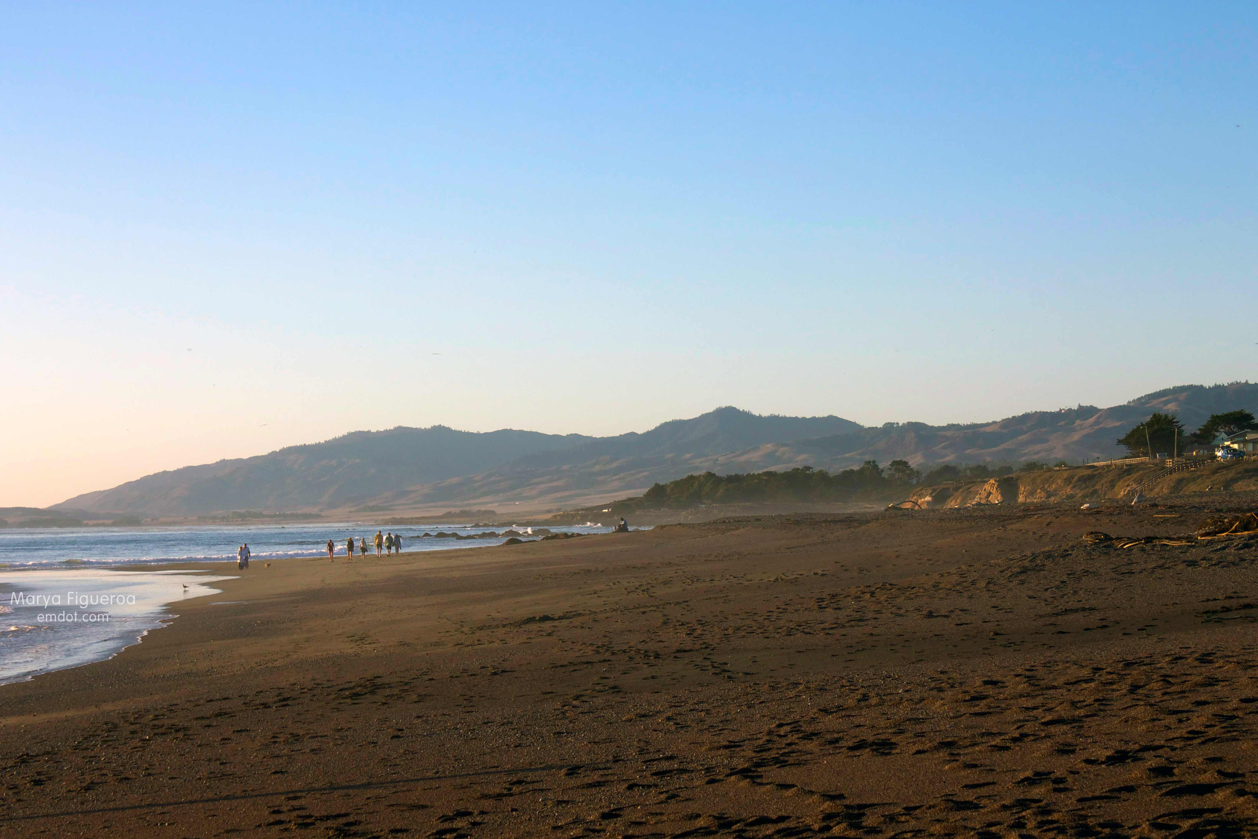
All that said, I was surprised none-the-less by how many people were on the beach.

surfer
Growing up here, this was always a special place for me because it was a secret, special beach that not that many people knew about or went to.

going over the lip
My friends and I would come down for long walks with our families or for impromptu bonfires (can’t get away with that anymore) or just to sit and watch the surfers.

surfer walking in
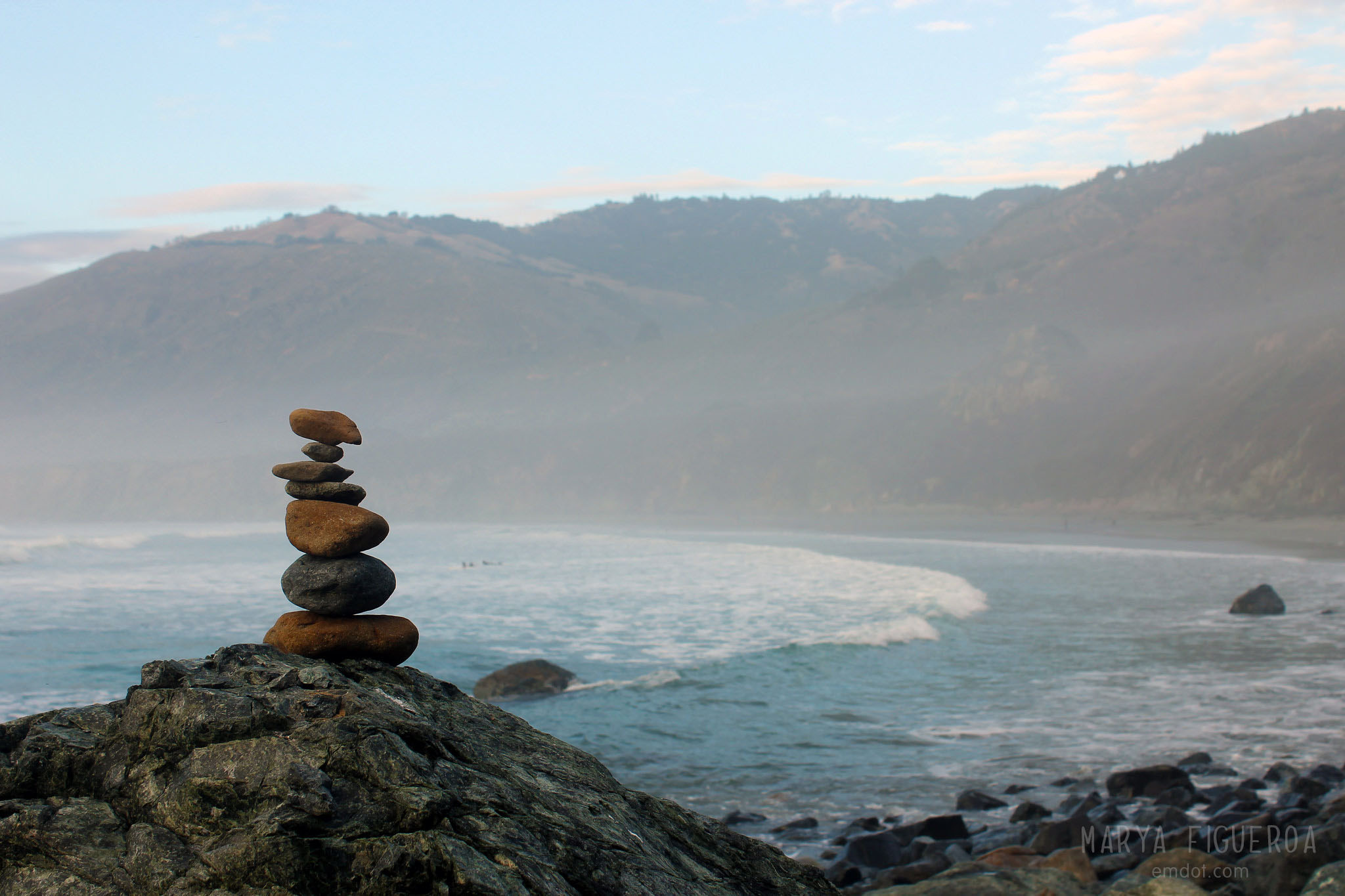
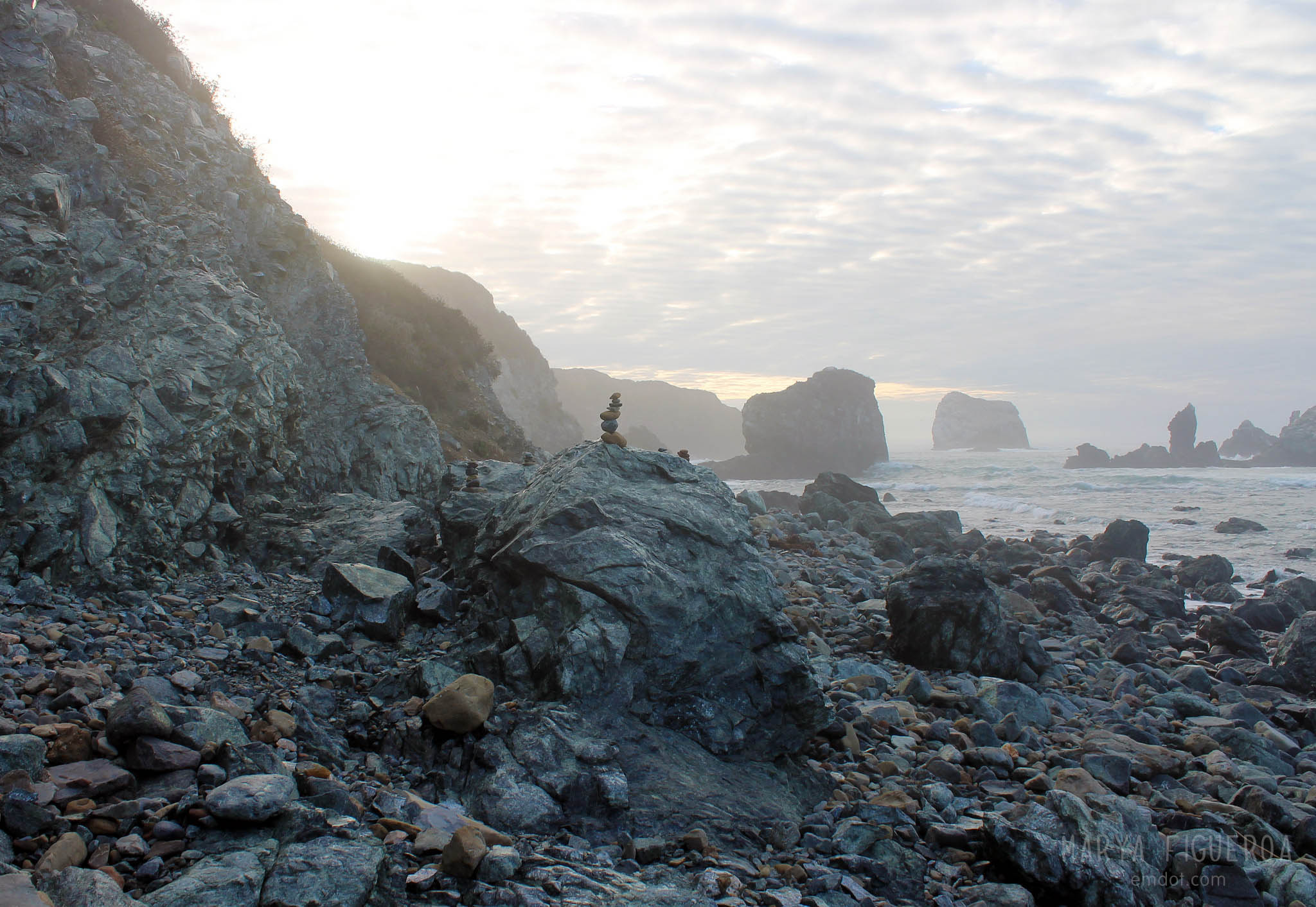
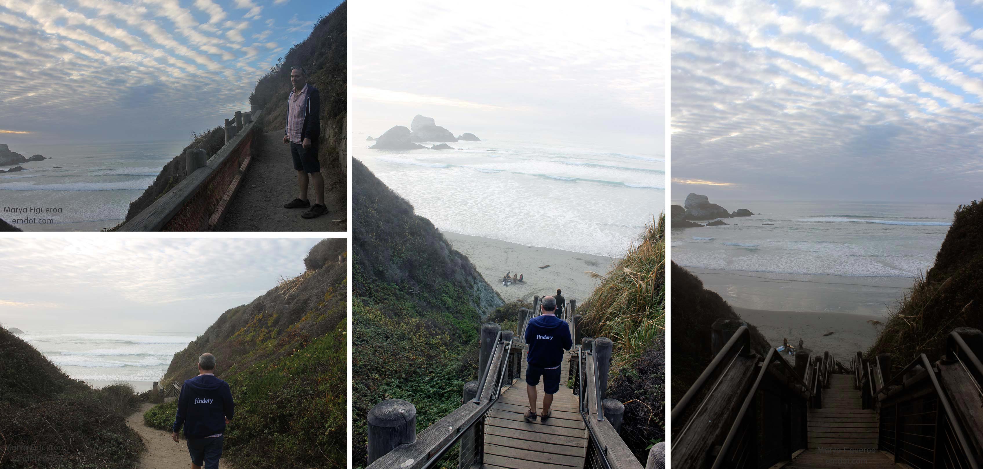
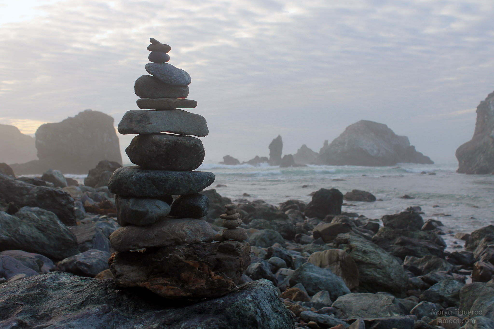
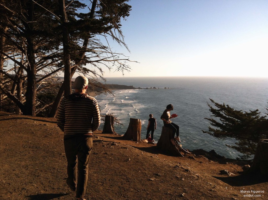
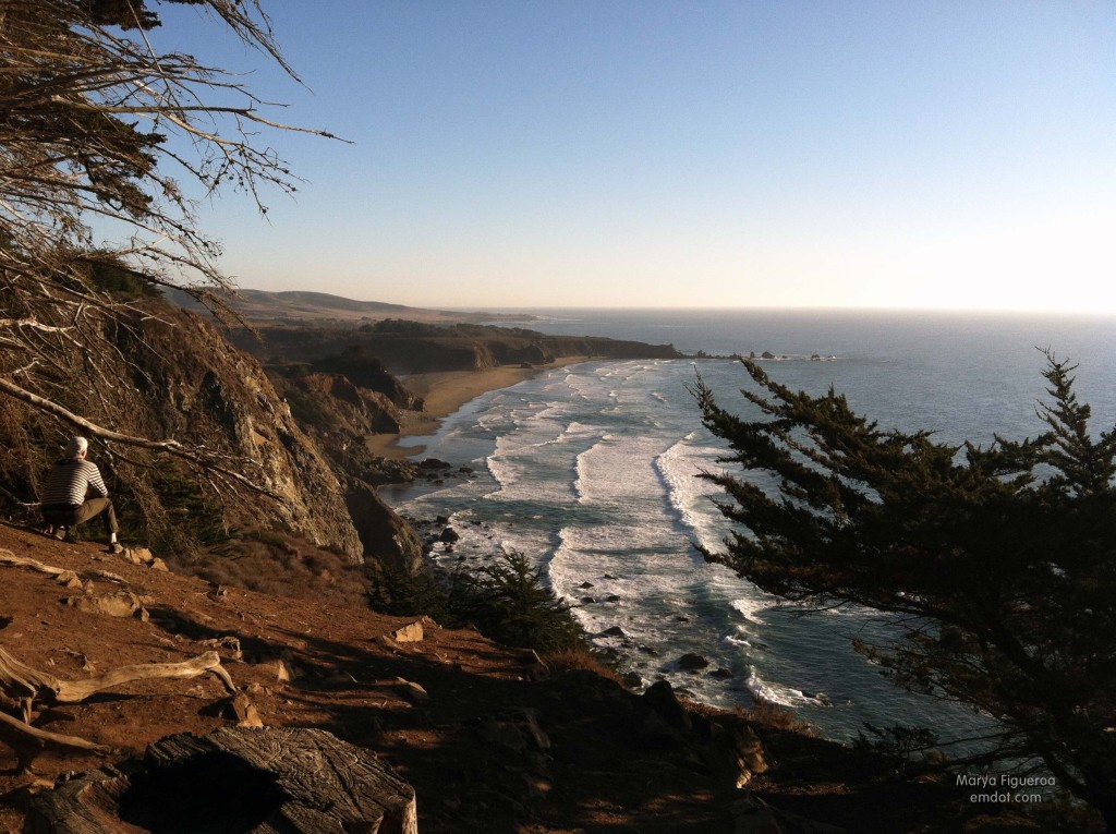
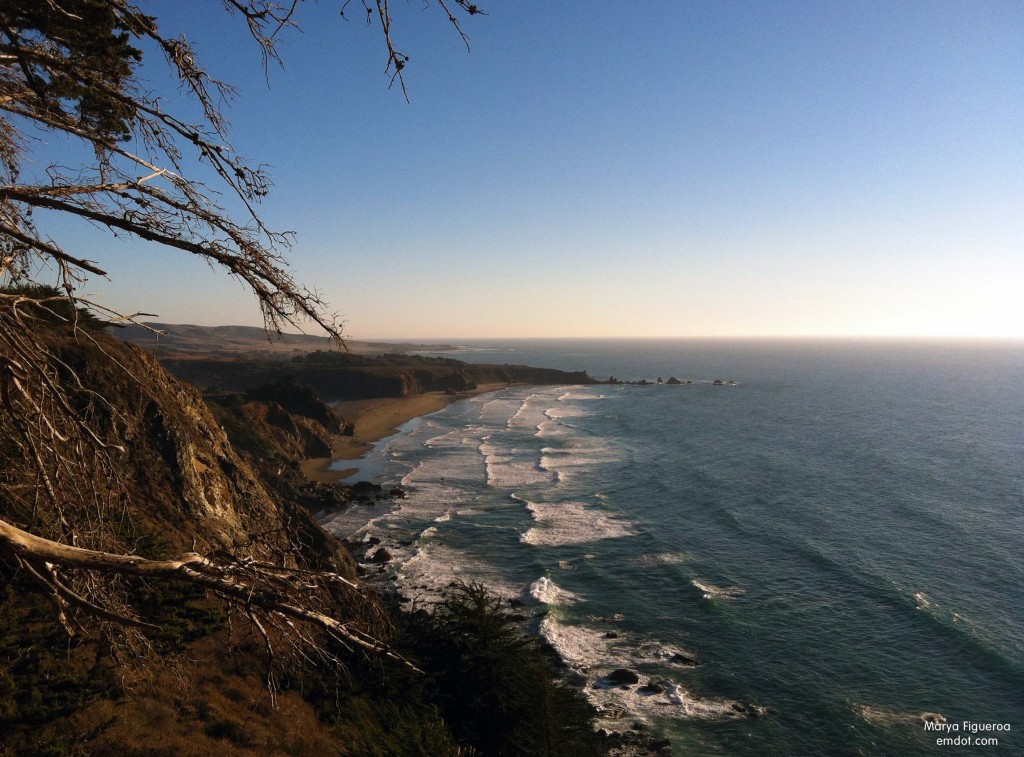
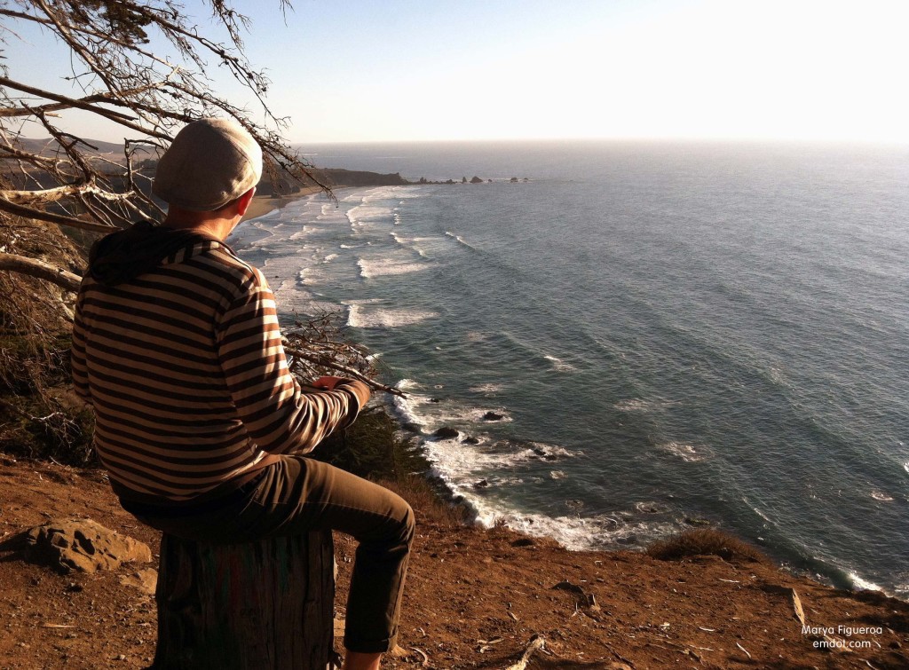
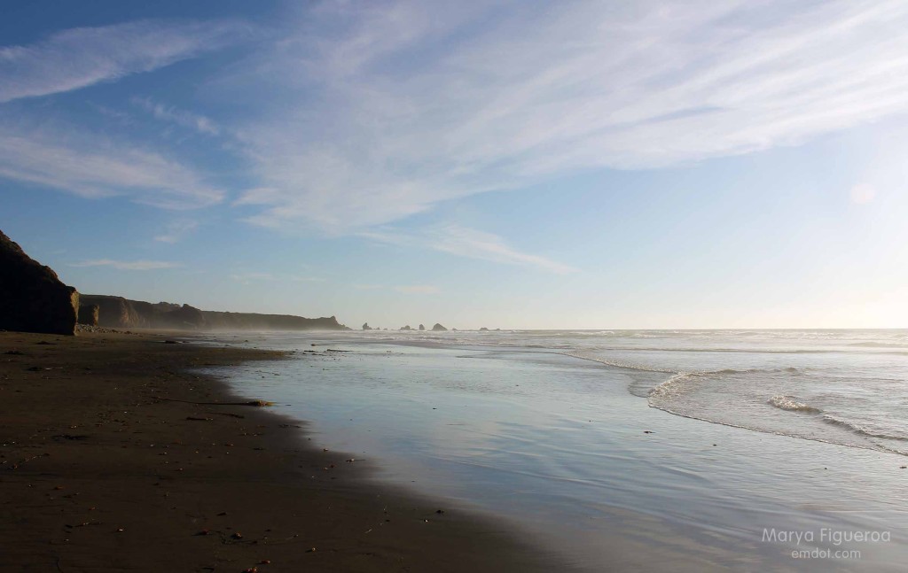
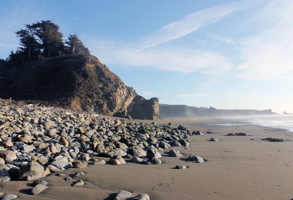
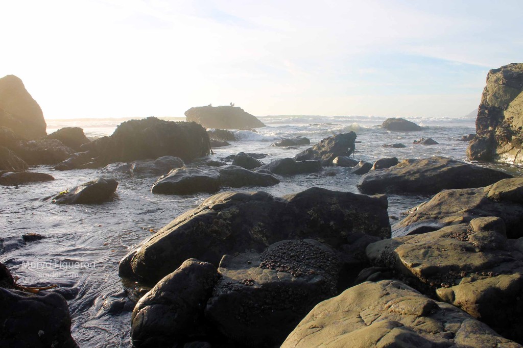
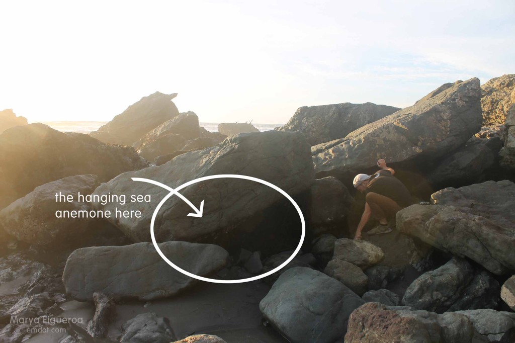
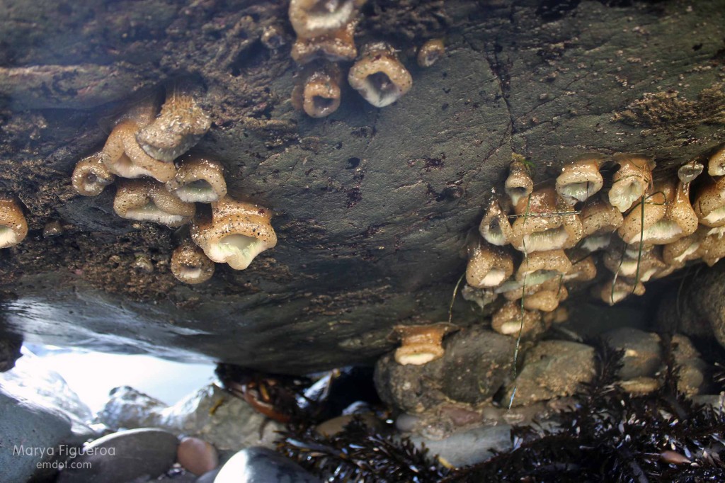
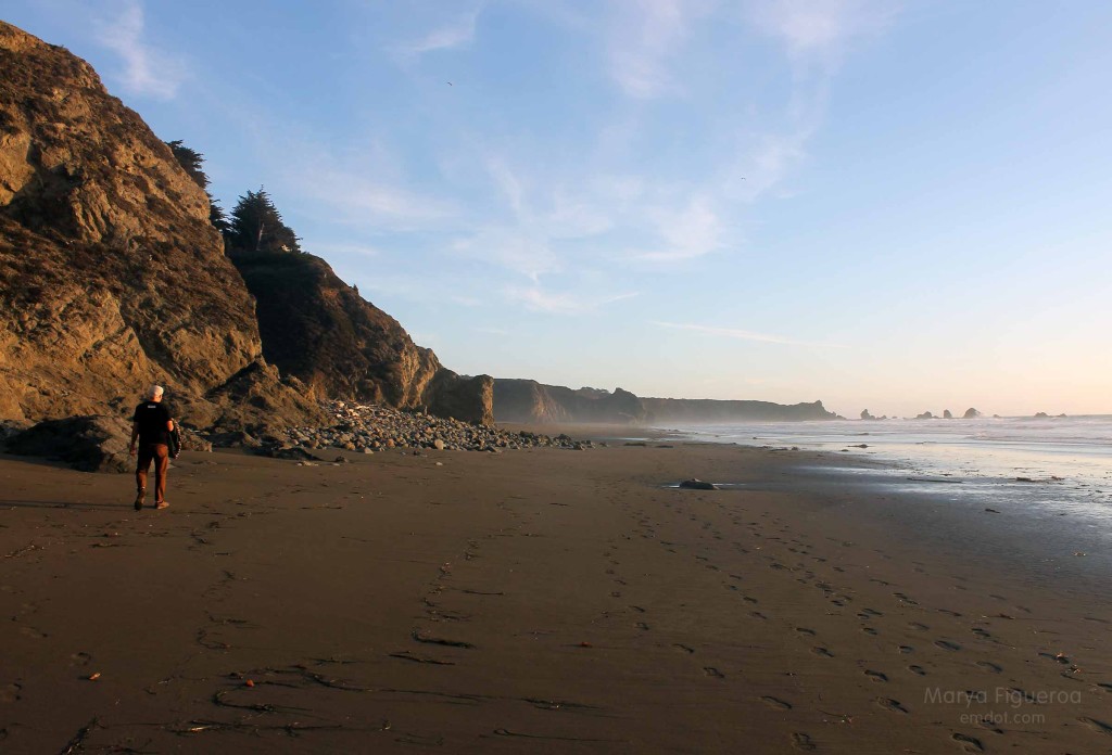
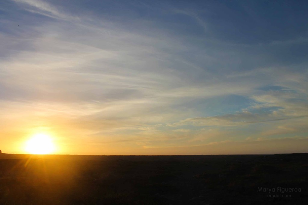
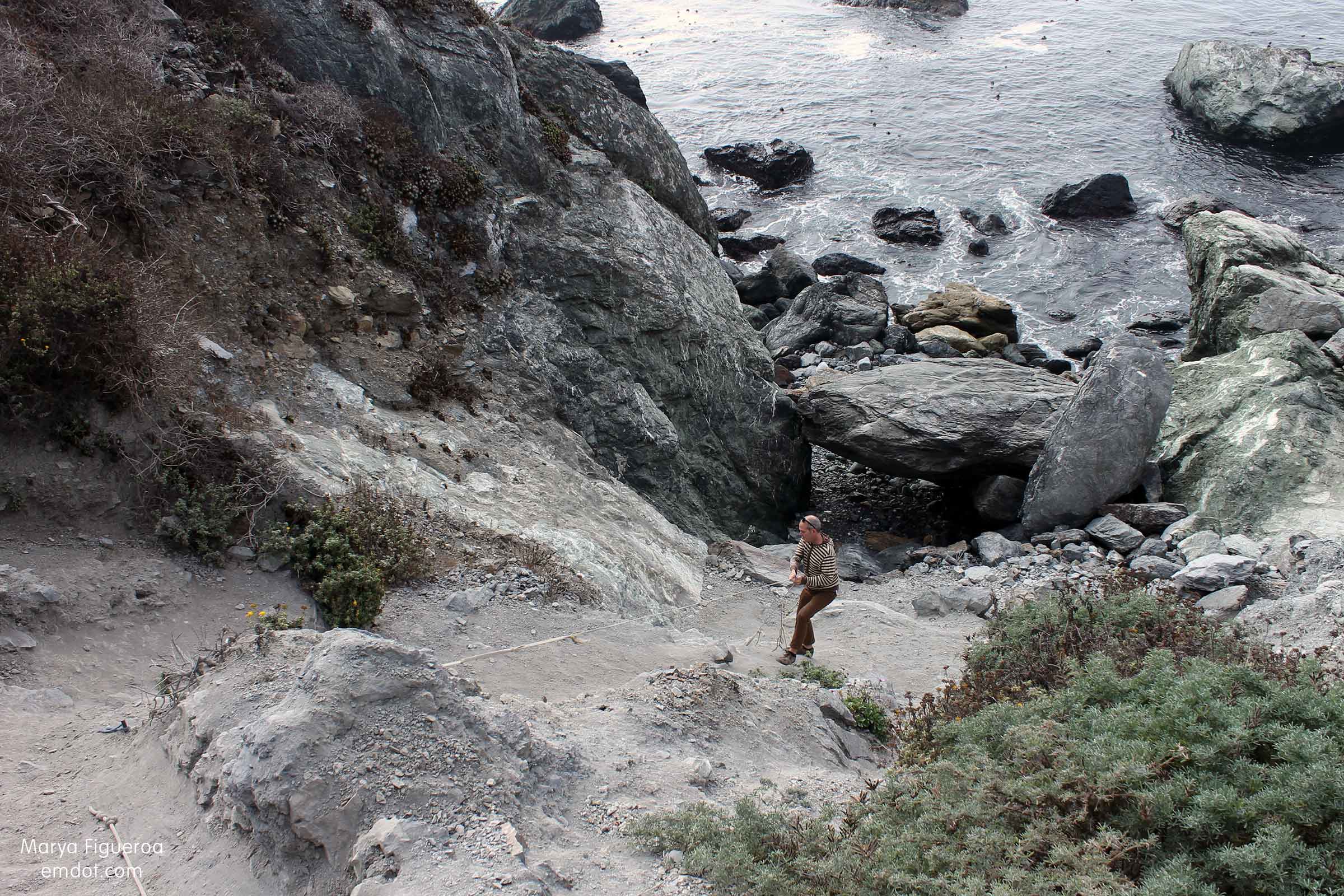
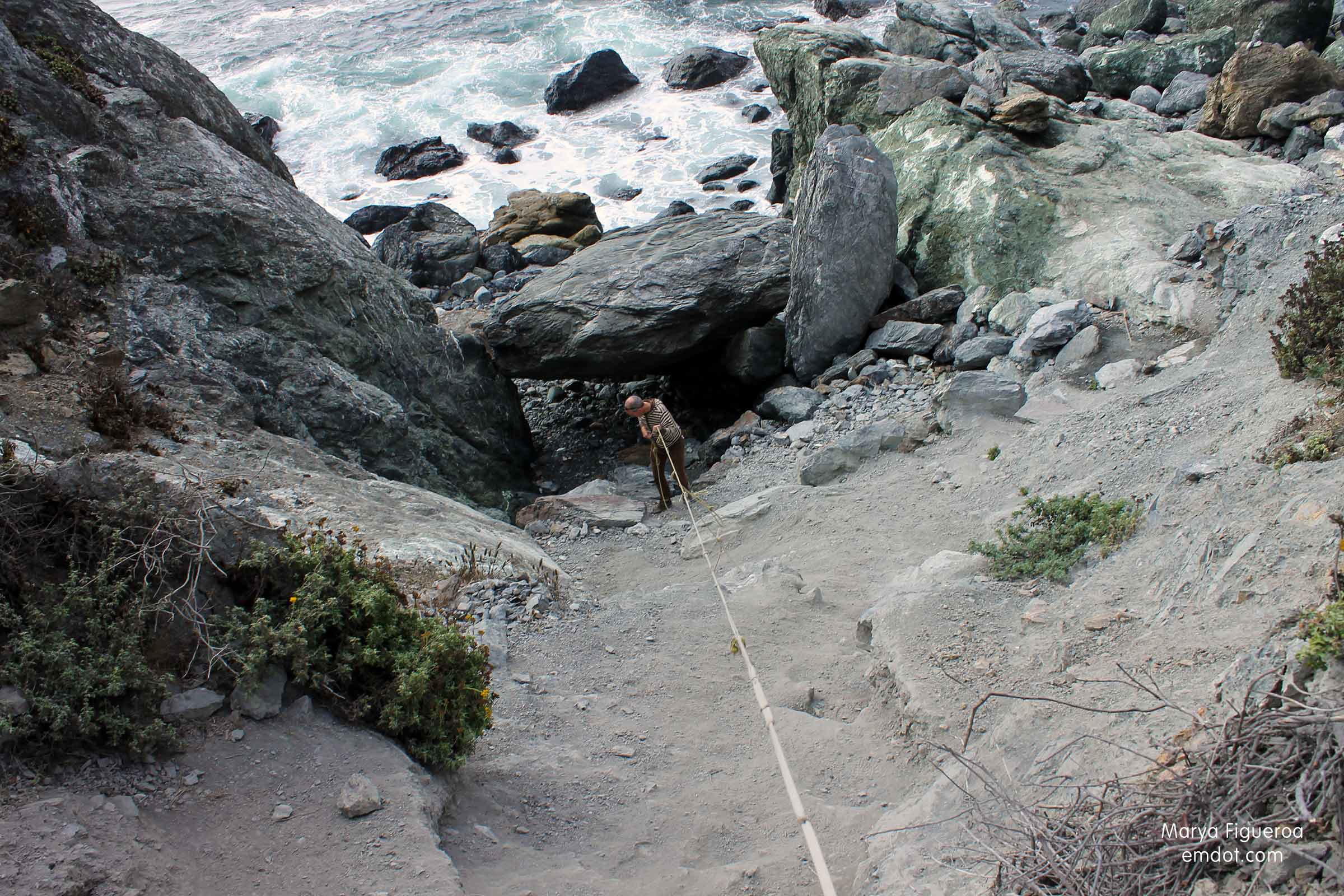
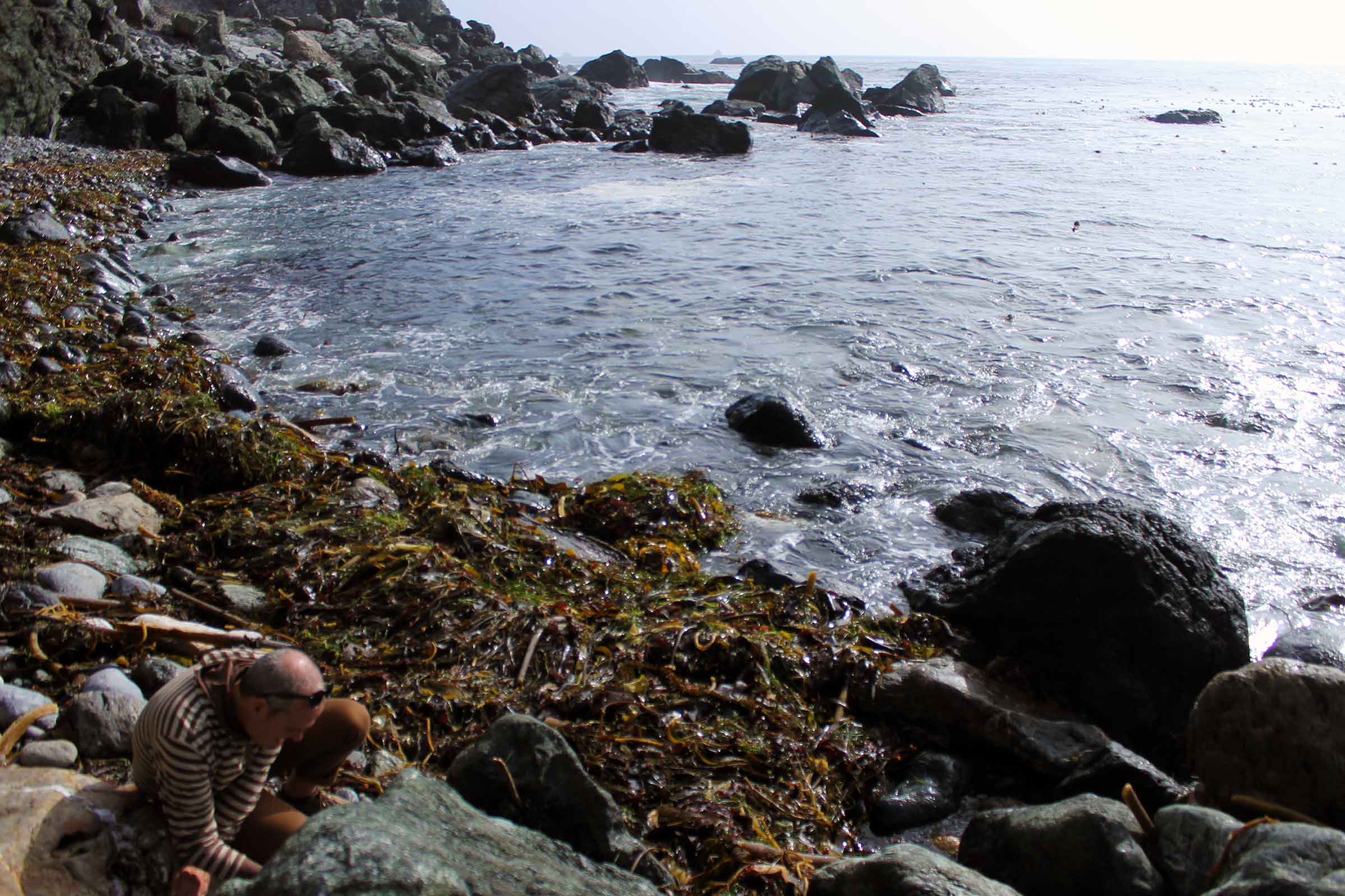
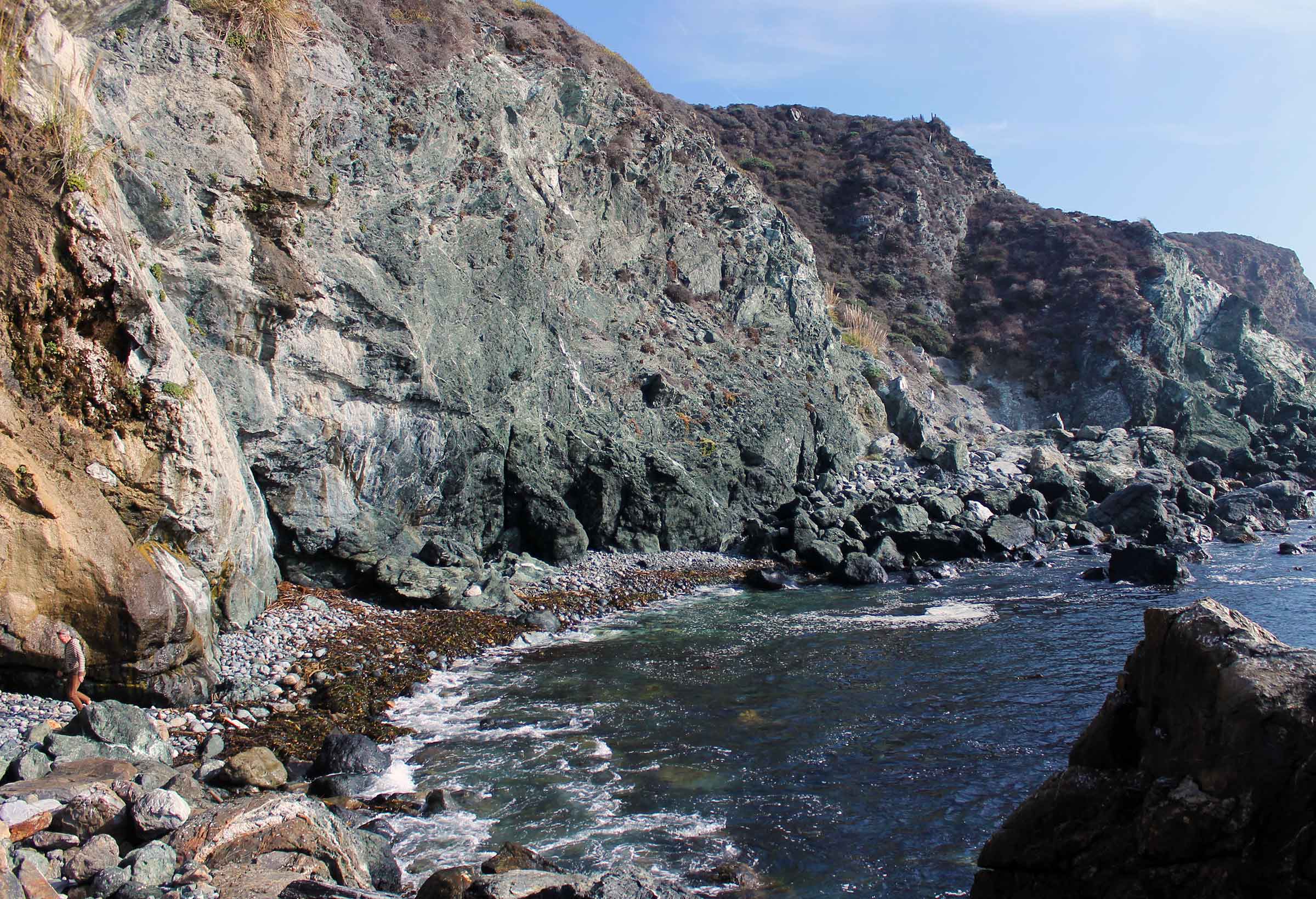
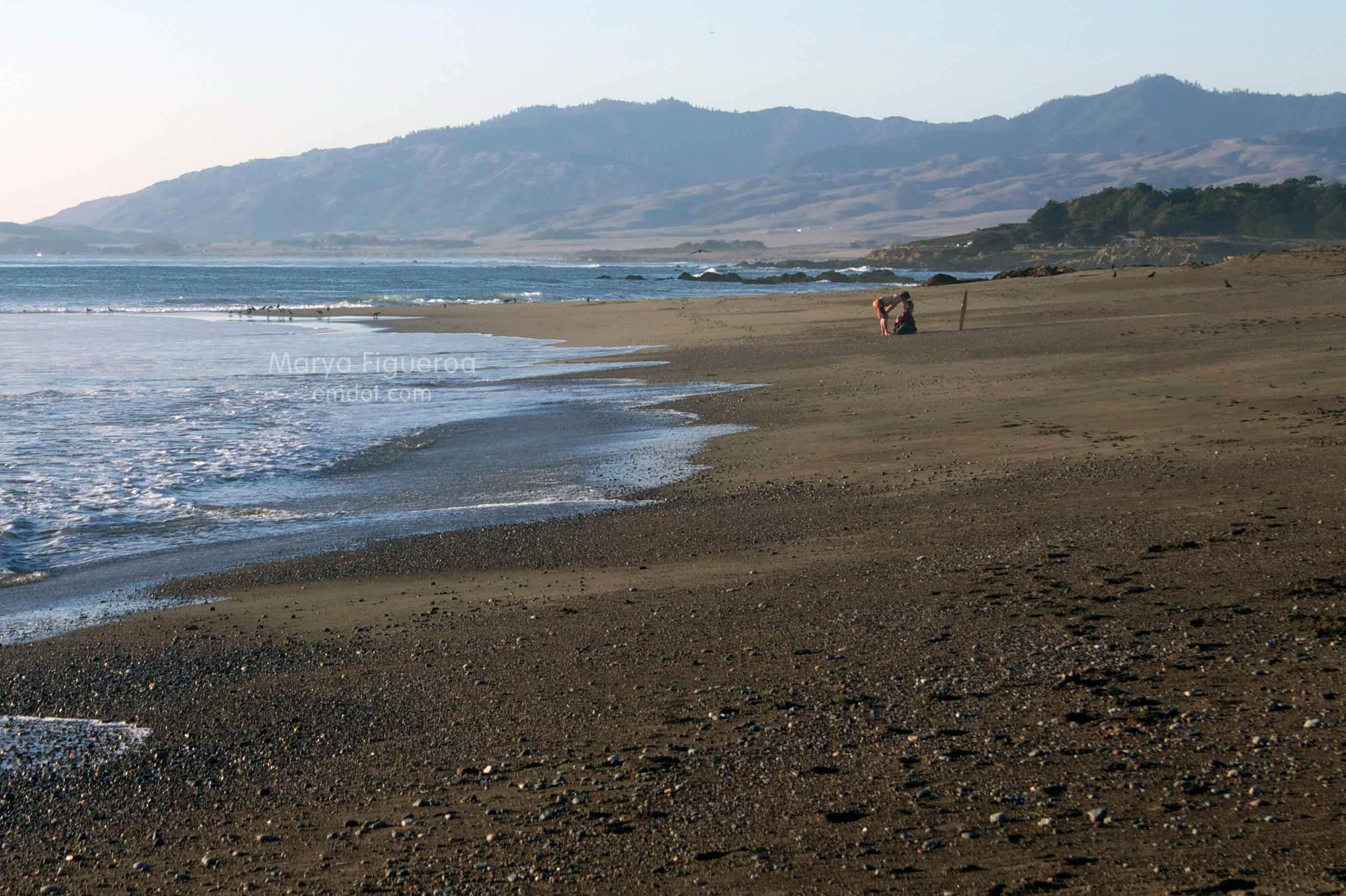
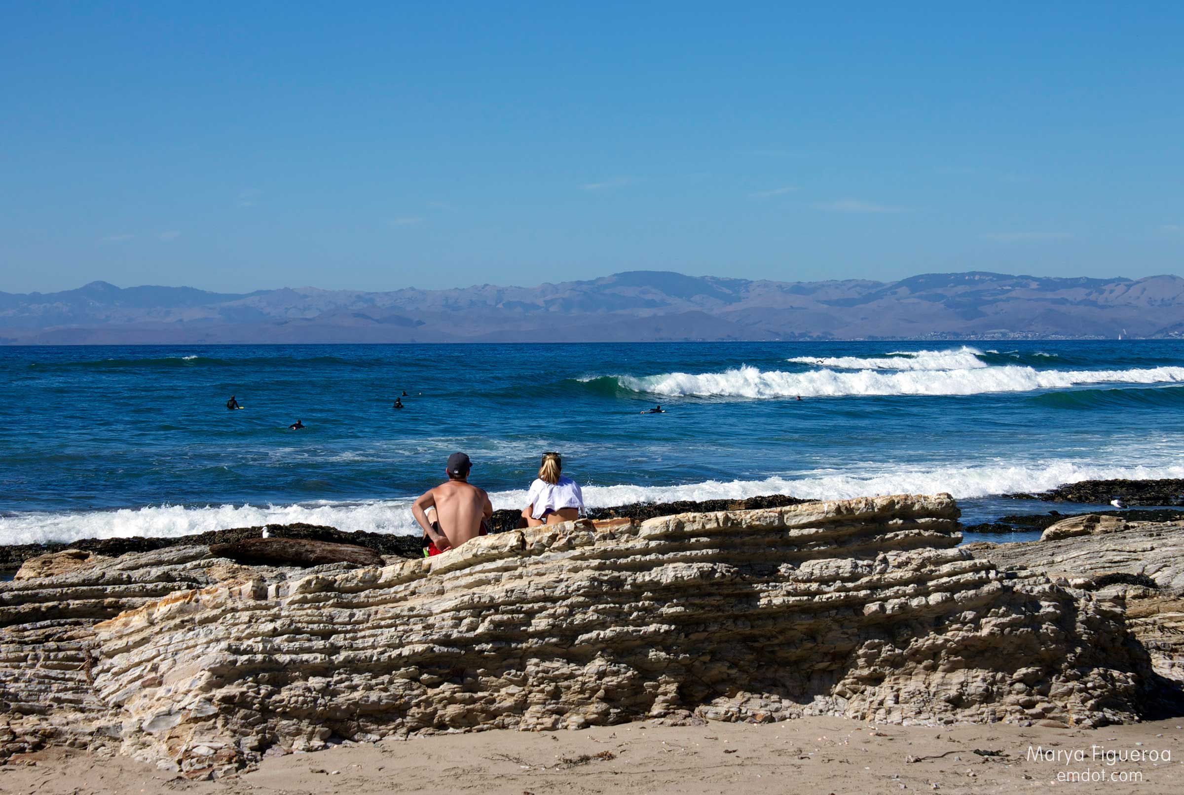
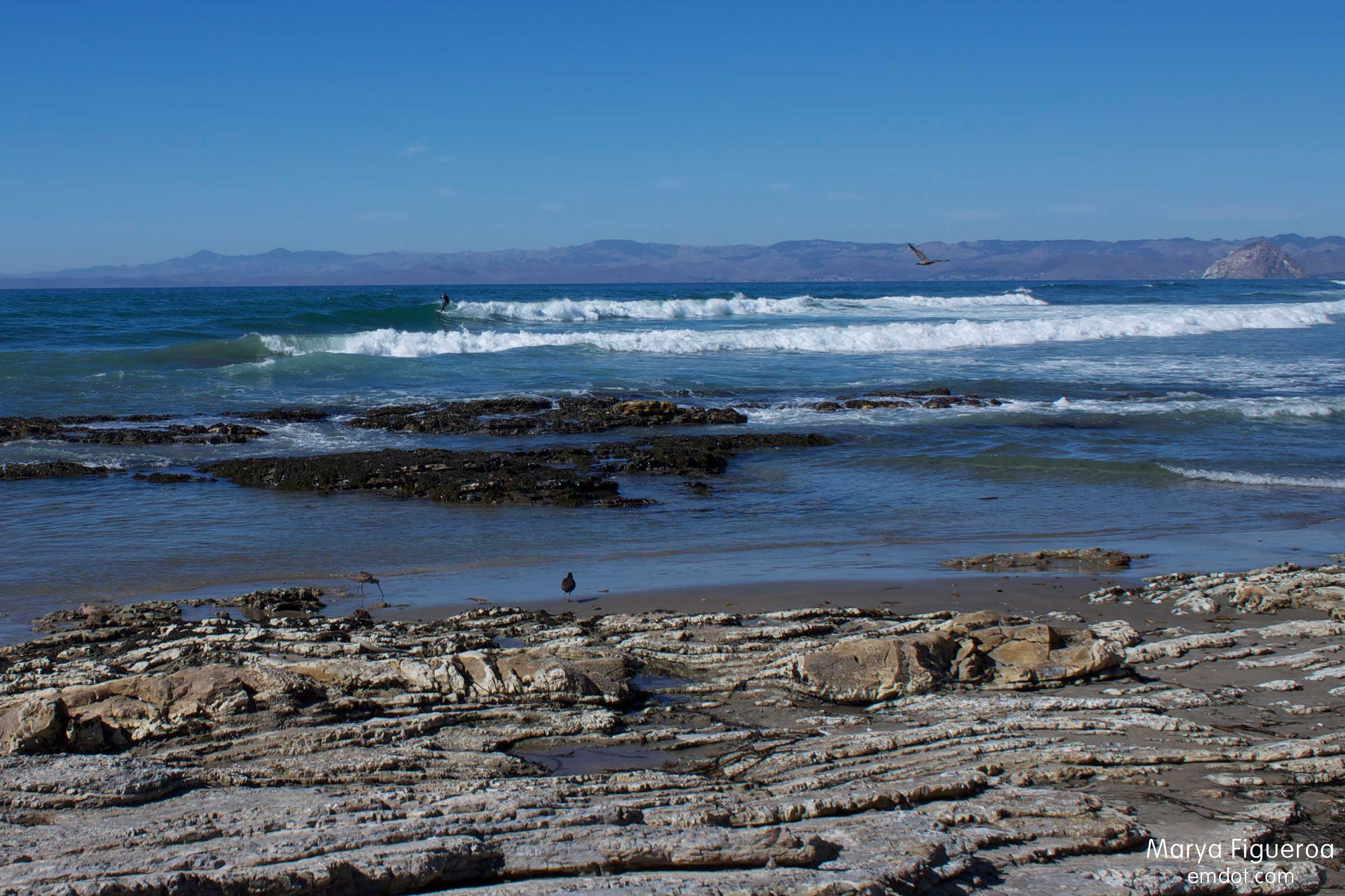
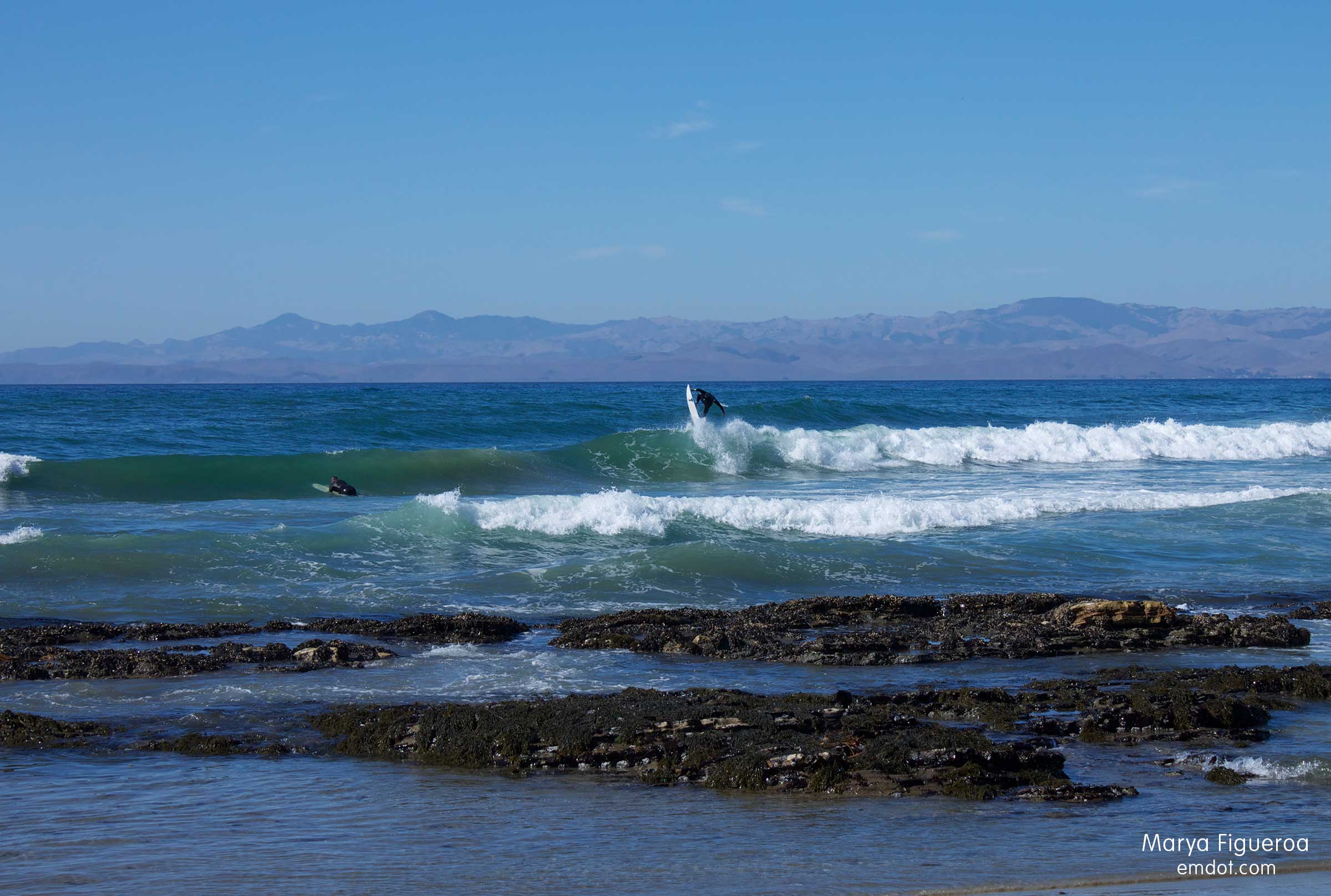
Steve and I sat on rock outcroppings for a while, people watching, bird watching. We took a walk looking at rocks, shells, feathers, birds. Getting our feet wet. It was blazing hot, a beautiful day. Quintessential Indian Summer Central Coast perfection.

surfer walking towards friends
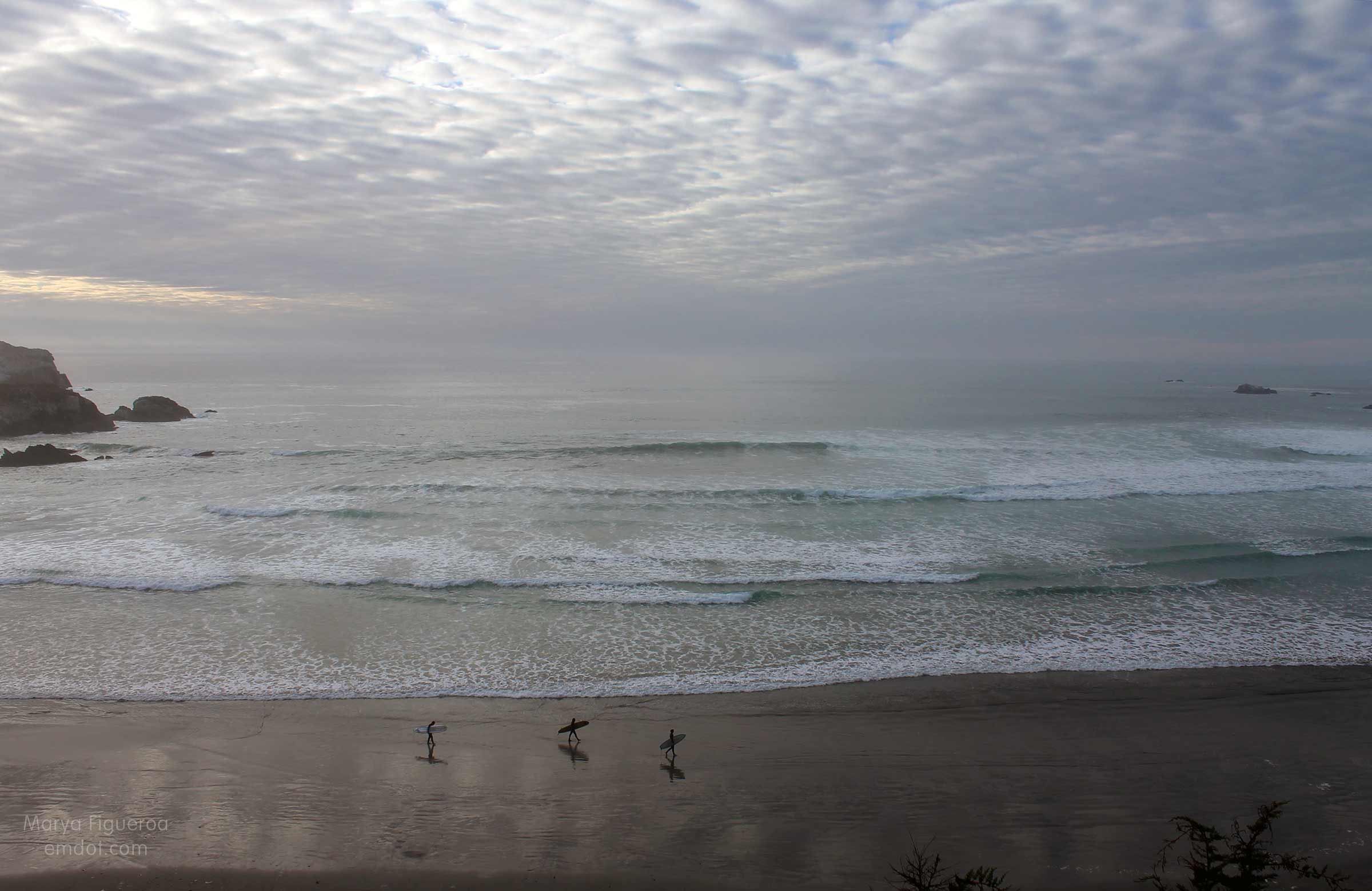
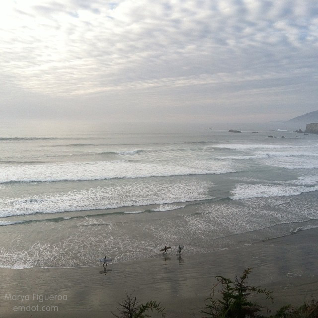
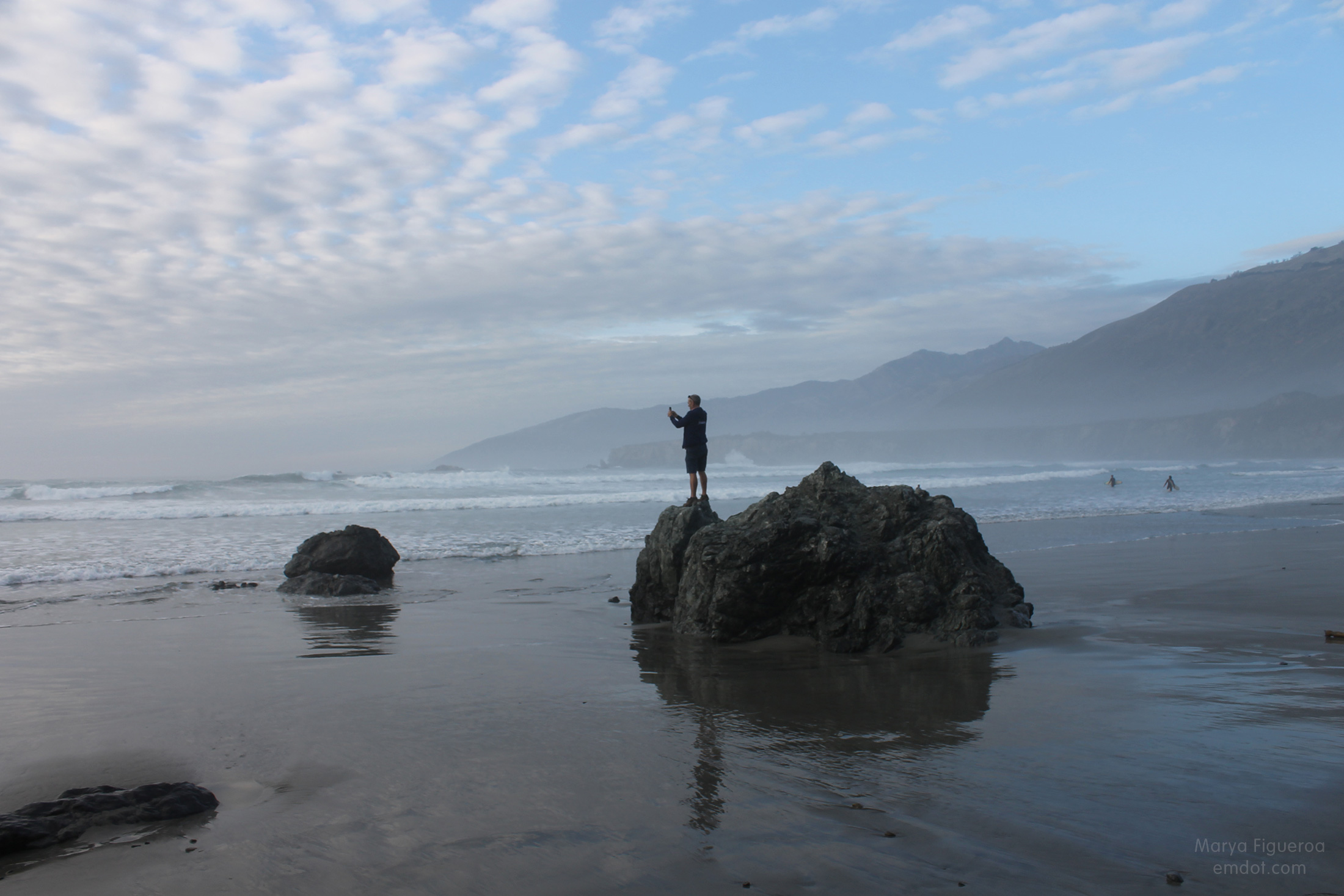
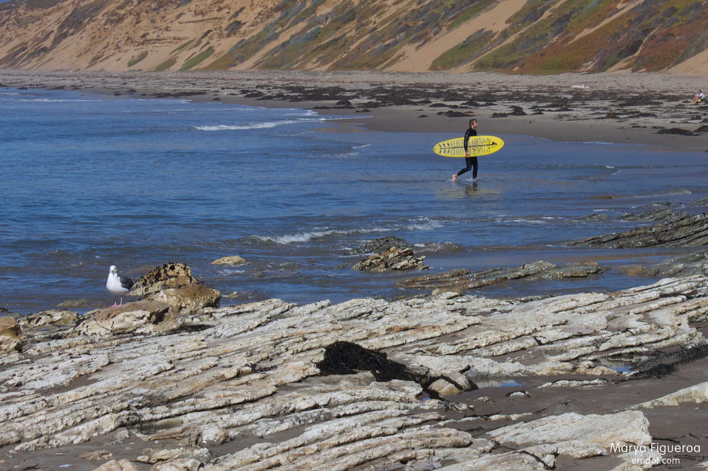
(Surfer coming in, walking towards his friends)

the sandy cliff
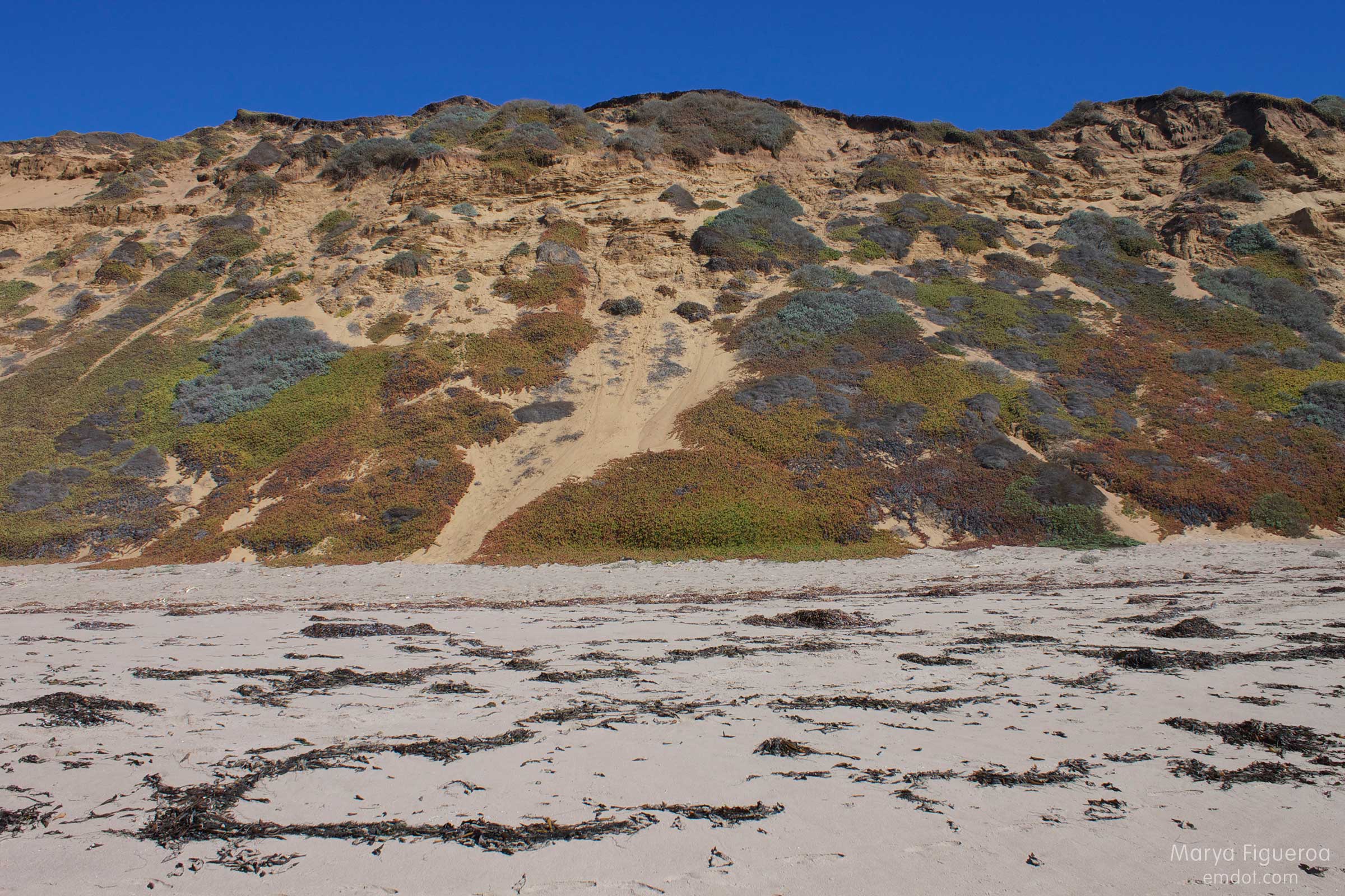
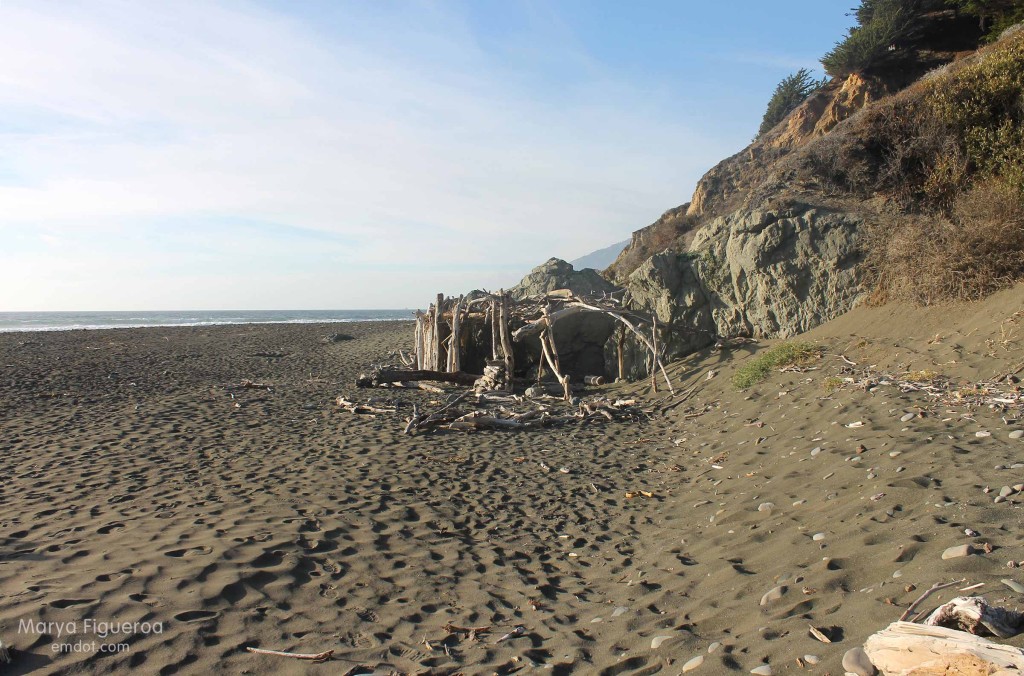
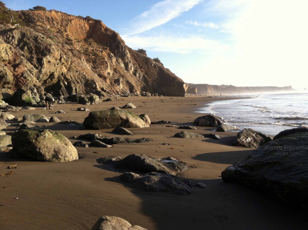
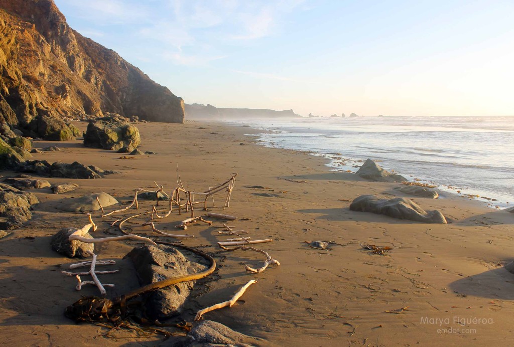
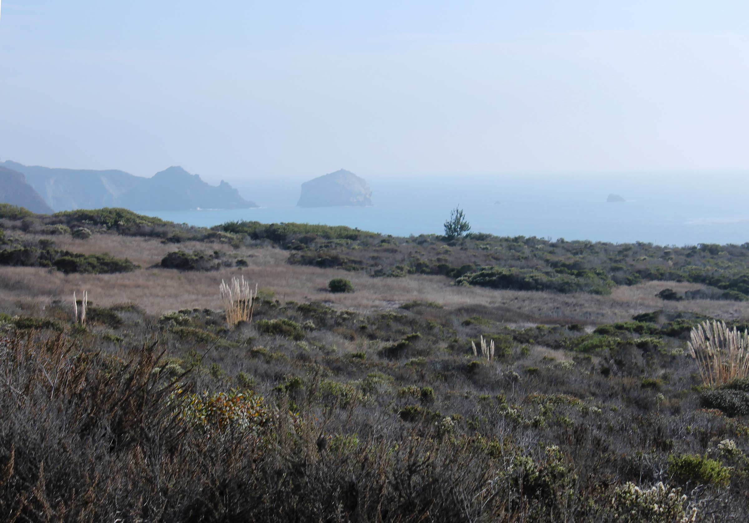
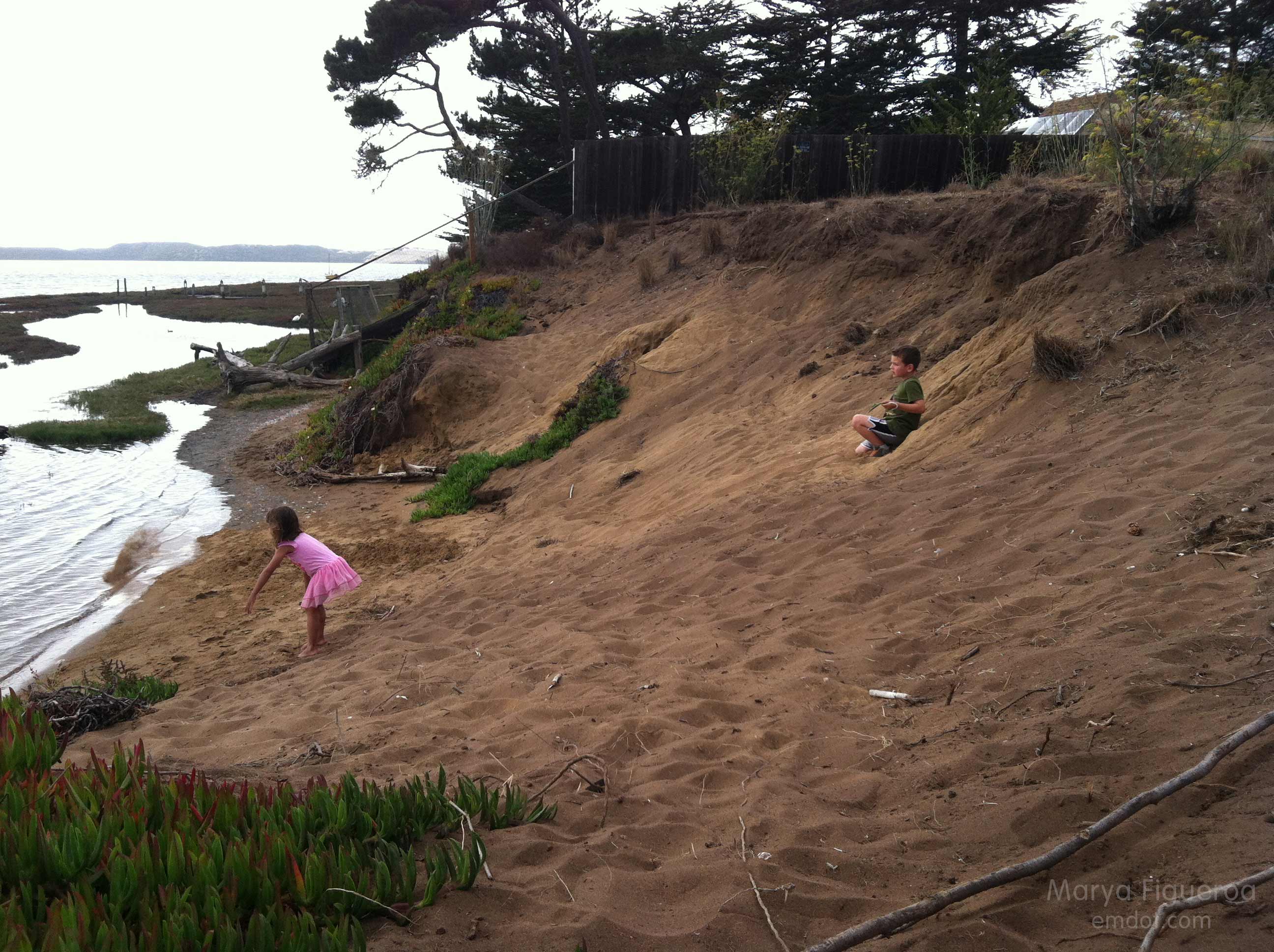
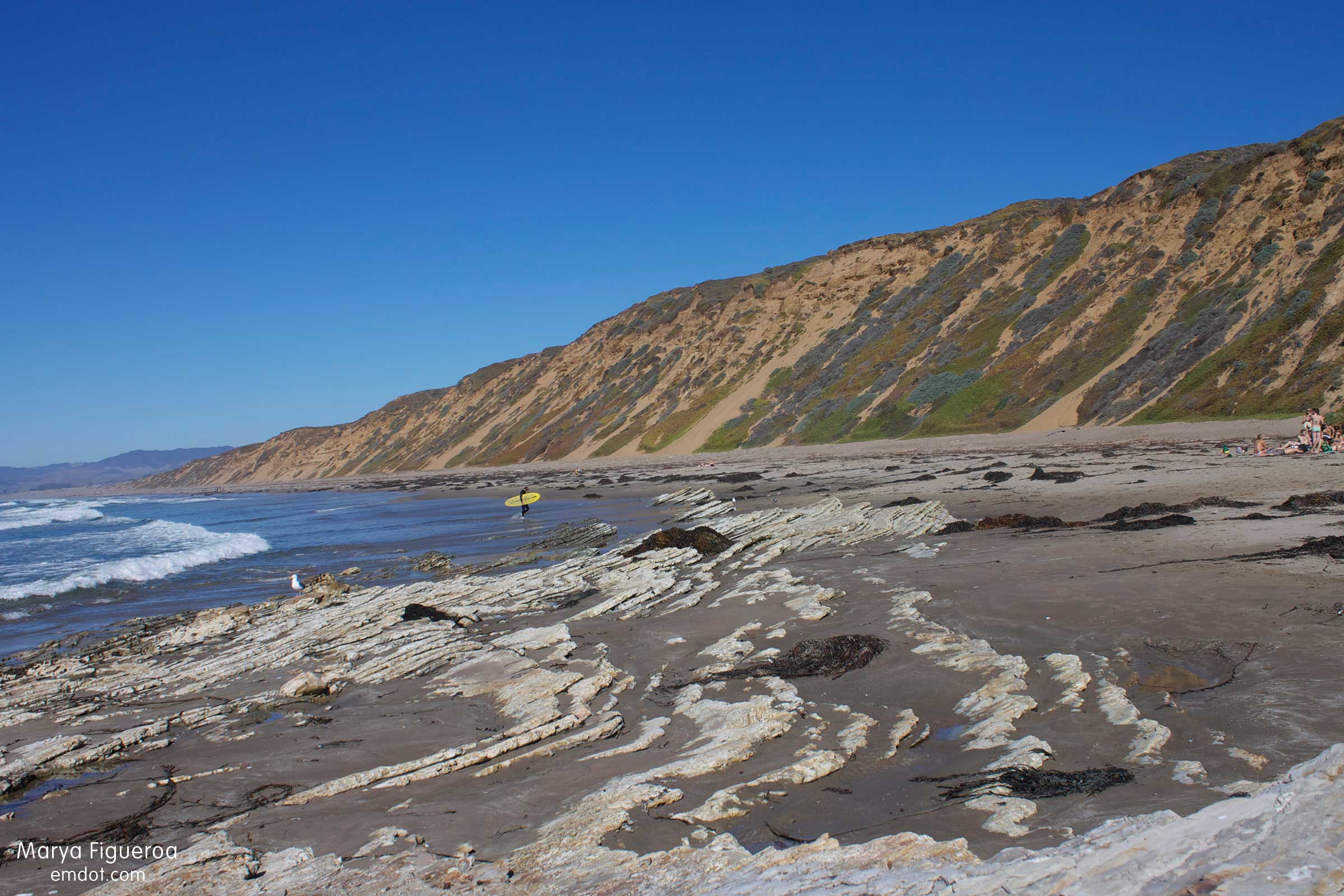
(The huge sand dune cliffs. I think they are beautiful.)

birds
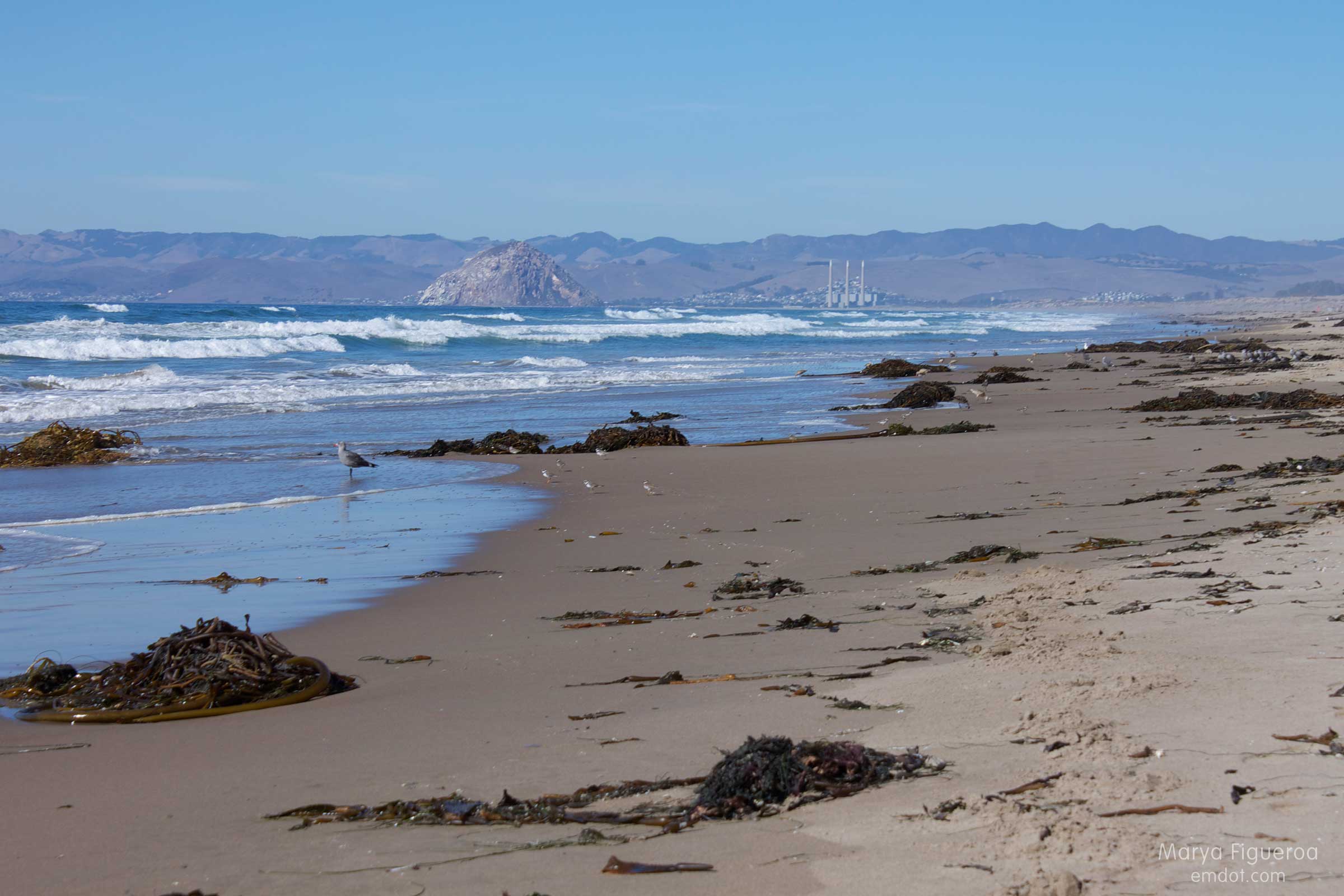
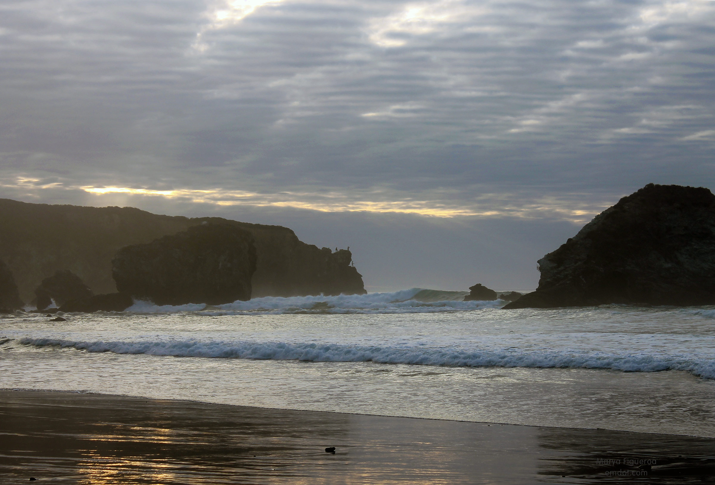
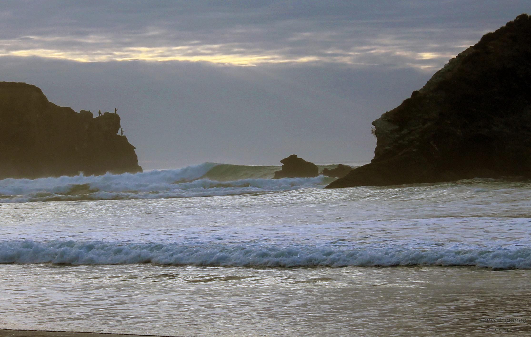
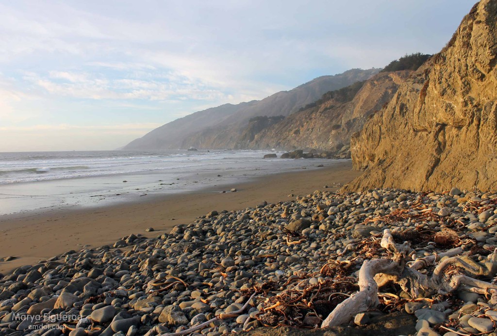
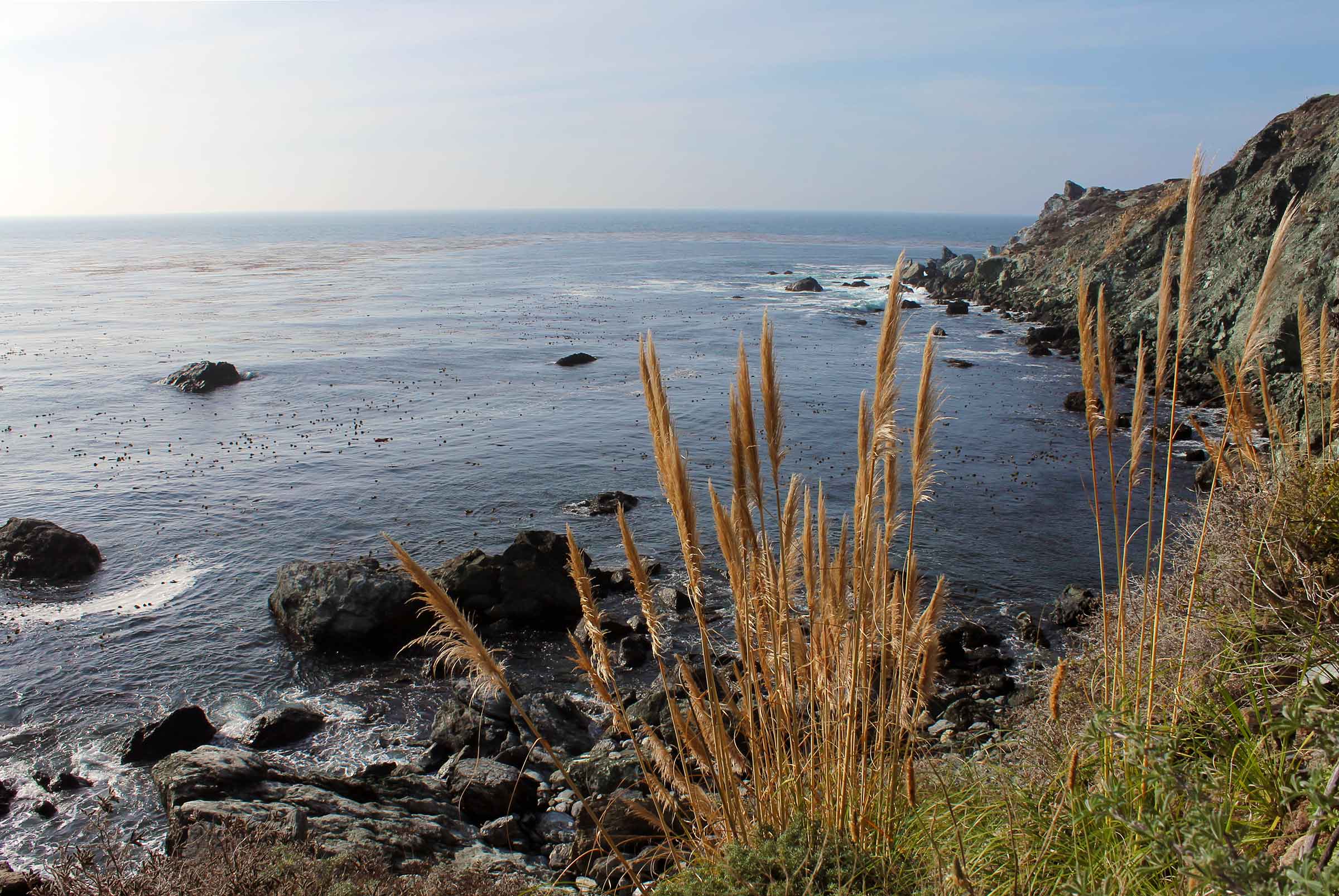
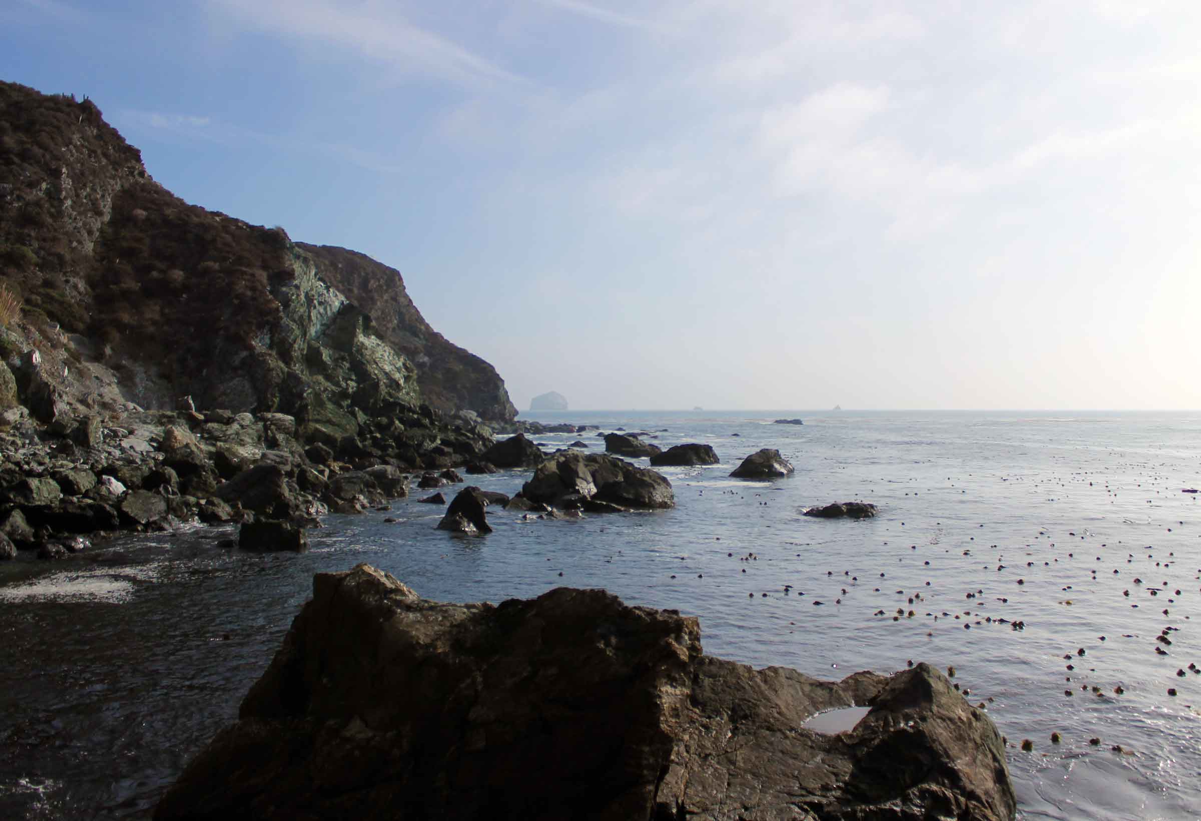
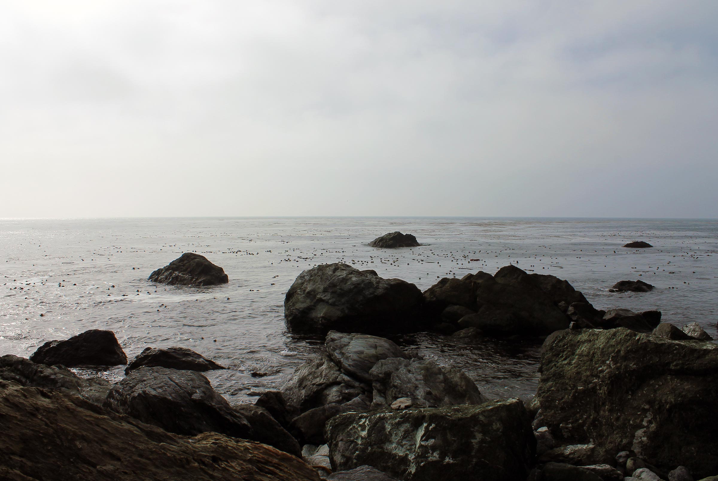
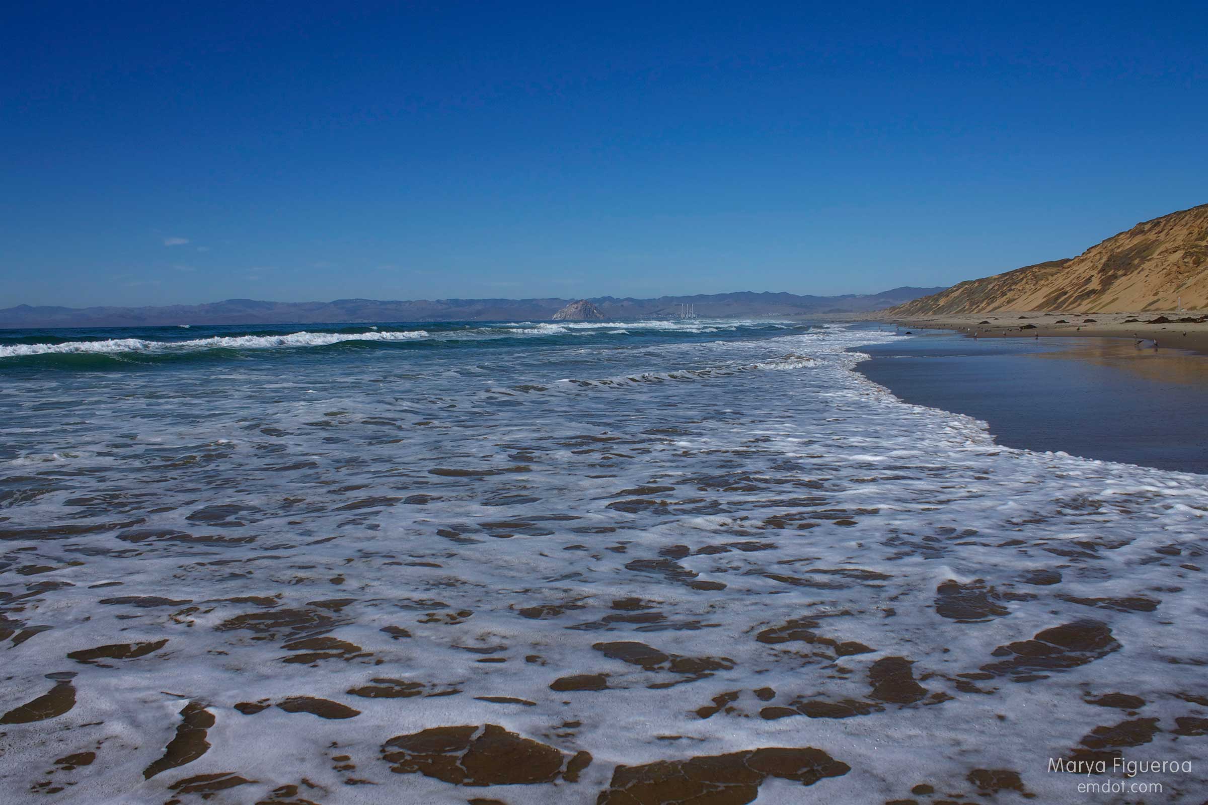
(So much kelp! Nice view to the rock.)

snowy plovers are cute
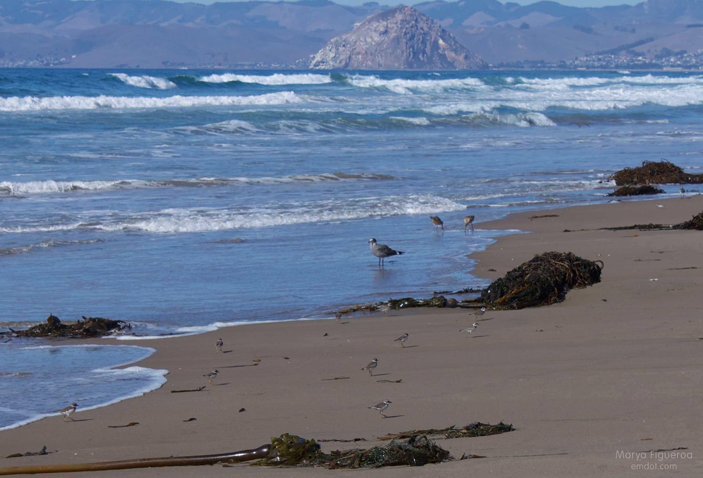
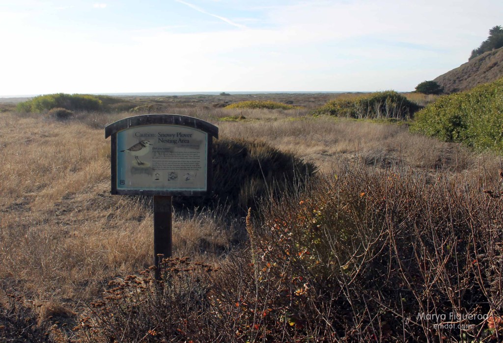
(The little guys are snowy plovers. Because they build their nests right on top of the sand and because the state of California staunchly protects them, the snowy plovers dictate when people can go through the dunes and what parts of the beach are open.)

curlews
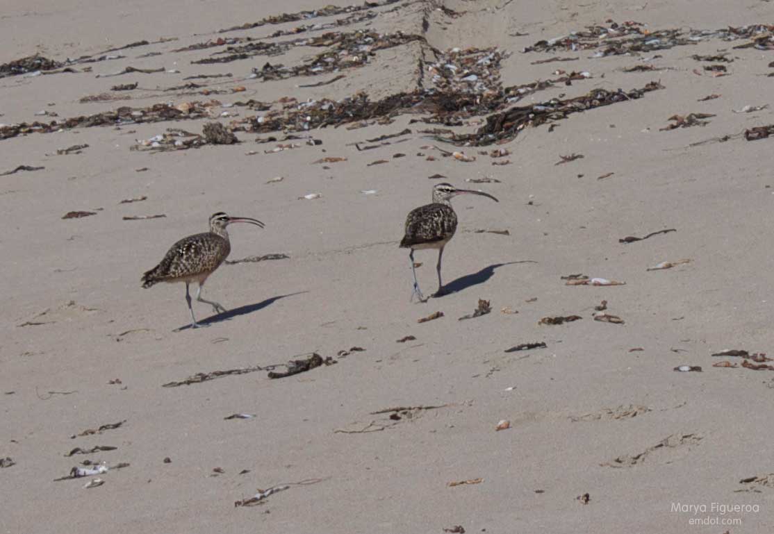
(Long-billed curlews, my favorite shore bird.)

heerman's gulls flying away
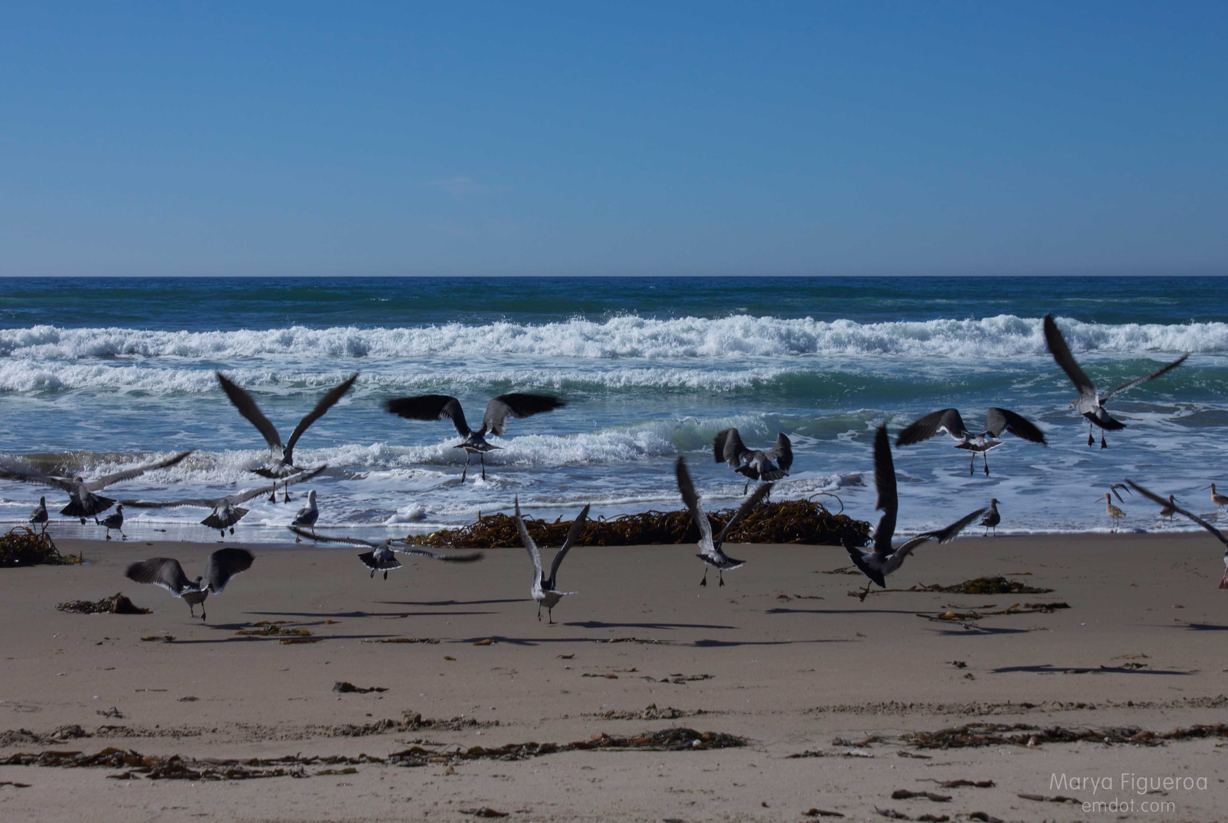
(I don’t know that much about gulls. They seem to be ubiquitous, but when you start paying attention you begin to realize they are different types of gulls. You begin to wonder if certain gulls show up during certain seasons. You begin to wonder if juveniles look different from adults. You vow to check the bird book when you get home. You invariably forget.)

(That said, I think these are Heermans.)

looking toward morro rock
(Getting into the water lets you get the best to-the-rock perspective.)

running down the enormous dune
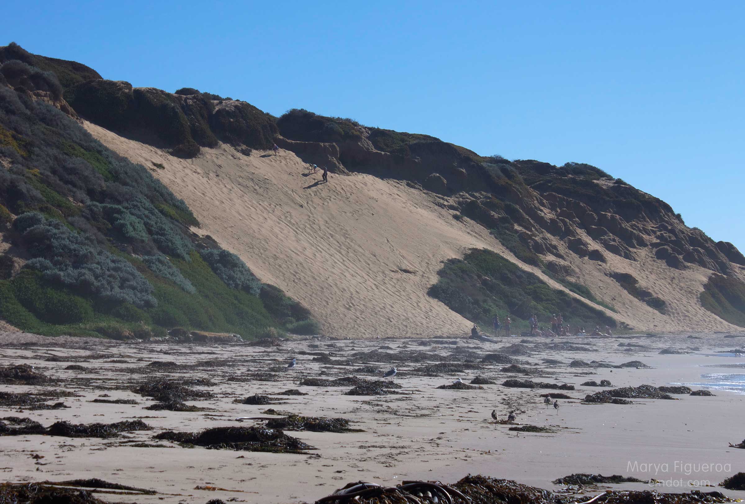
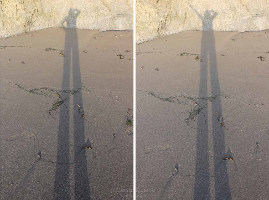
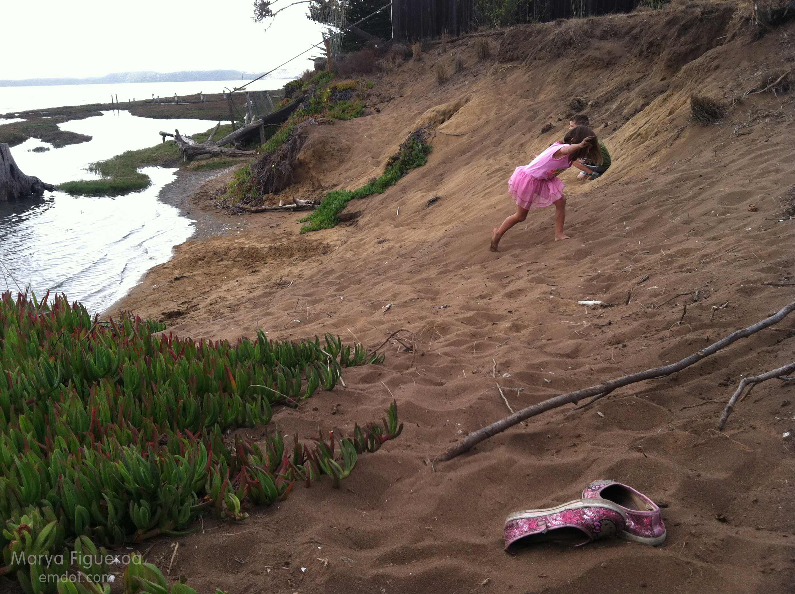
(Running down these dunes. I loved doing this when I was a teen.)

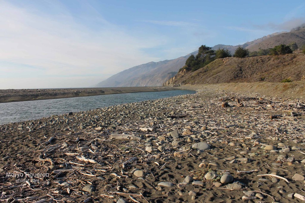
Secret or not, Hazards is still one of my favorite beaches and it still feels like a treat when I get to go. Sunny and hot, like it was on this day, or socked-in-fog, it doesn’t matter. It’s a long stretch of secluded beach. It’s California. It’s a great way to spend a day.

my foot prints in the sand

beachweek29

Prospects

the trail is a bit spaghetti western

Week 25. September 22. I took two weeks off from hiking because of my broken arm. Yes, I know — one does not need their arm to hike. However… my body was tired. It needed to rest and so I did let it rest. I decided to take a couple weeks off and add a couple weeks at the end as make ups.

This is make up number one.

straight freaking up
Prospects has different names depending on who you are, who your friends are, where you live, and perhaps when you first started hiking this hill. My first hike was in October 1989. I remember the day because it was also the same day as the La Prieta earthquake that shook SF and Santa Cruz.

My friends call it Prospects, though I do have a couple other friends who moved here later than the first group of friends and they call it High School Hill. I cannot abide by that. (Okay, cannot end that sentence with out a smile. Love you high-school-hillers.)

At the base of the hike nowadays is a sign that says Bowden Ranch and also mentions Resevoir Canyon. One steep hike, so many names.

looking out -- seeing cerro san luis and bishop peak
I haven’t done this hike very often and I think that’s because the former trail was straight up through dry grass. A very steep grade with the possibility of ticks? No fun!

The new trail, however, is hugely improved. It has switch backs and old spaghetti-western type fencing. It has (some) shade. The grade is still very steep, so get ready for a whole lot of elevation in a short period of time (I know you can do it.).

the cairn at the top of the trail
Steve and I both added a rock to this cairn.

walking to the tower
You can see the tower above (ahead of Steve in the photo) from all parts of town. It’s a directional marker for me (as are the cerros on the other side). Always easy to know what direction you are headed in SLO by your proximity to cerros and hillsides.

brown brown hills that are brown
It is so brown and dry right now that it is hard to believe it was ever green or that it will ever be green again. The brown is part of the breath of the landscape. Breathe in dry. Breathe out dry. Feel the wind. Watch dust kick up from your shoes. See the brittle grasses around you. It is the season of parch, surely to never end.

the grade
The meandering line in the middle left of the photo above is highway 101, snaking up the Cuesta Grade. Leaving San Luis and heading to North County. Or descending from North County, heading for a cooler clime, depending on your perspective.

looking out towards the cerros
From the top of Prospects you can see to the top of the grade when looking east, or you can see to the oceans if looking west. Both Pismo Beach and Morro Bay are visible. The cerros above march to Morro Rock (and you can see a line of white fog covering Los Osos as it is legally required to do.).

all the words
The hike itself is not long, just steep. I enjoyed it so much more than previous experiences (new trail, you paid off.). Bring some water and maybe some binoculars to take in the ocean views or to find your house down in the valley or to appreciate the wayward buck or bird.

resevoir canyon natural reserve

Me, peak #25