The Tin House

tin house on the hill
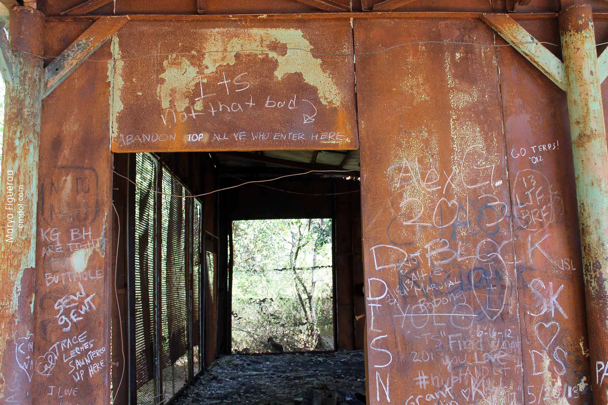
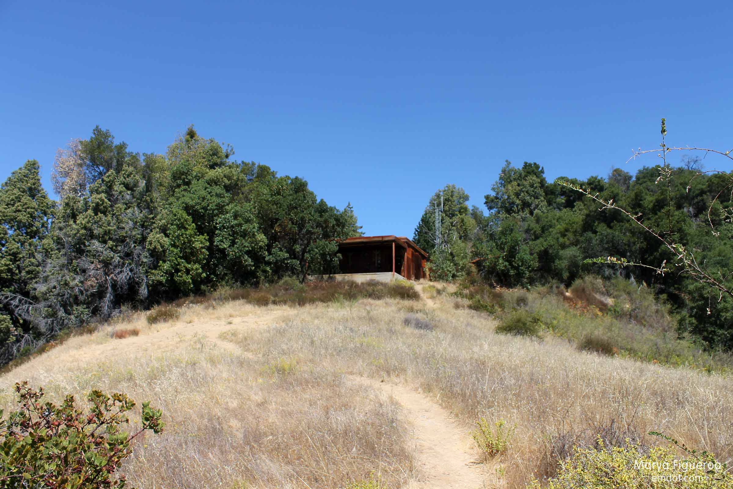
The Tin House was built by the same couple that lived at McWay Falls, the Brown family. Rumor has it that Mr. Brown built this house for his best friend and best man at his wedding, Teddy Roosevelt. Brown’s daughter refutes this rumor, robbing us of a fun story to tell. No matter, I’m sure there are other stories. I just don’t know them.

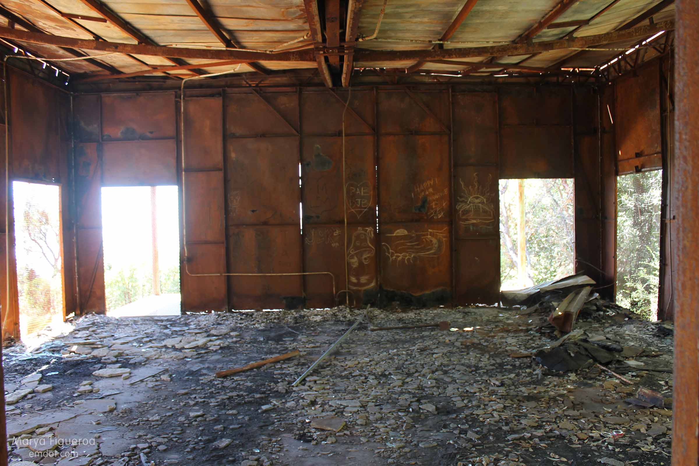
from the inside
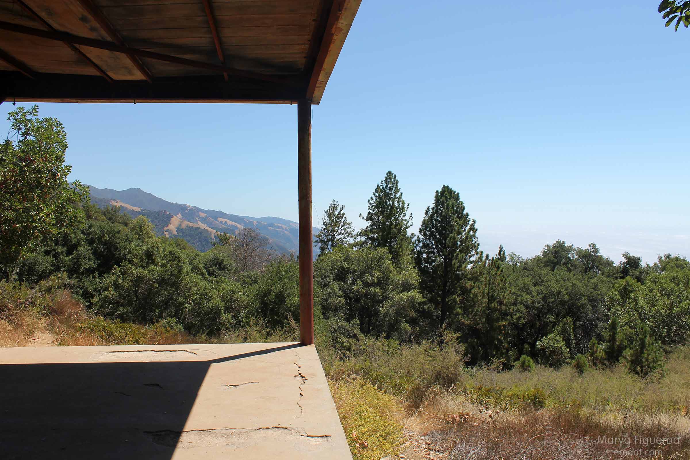
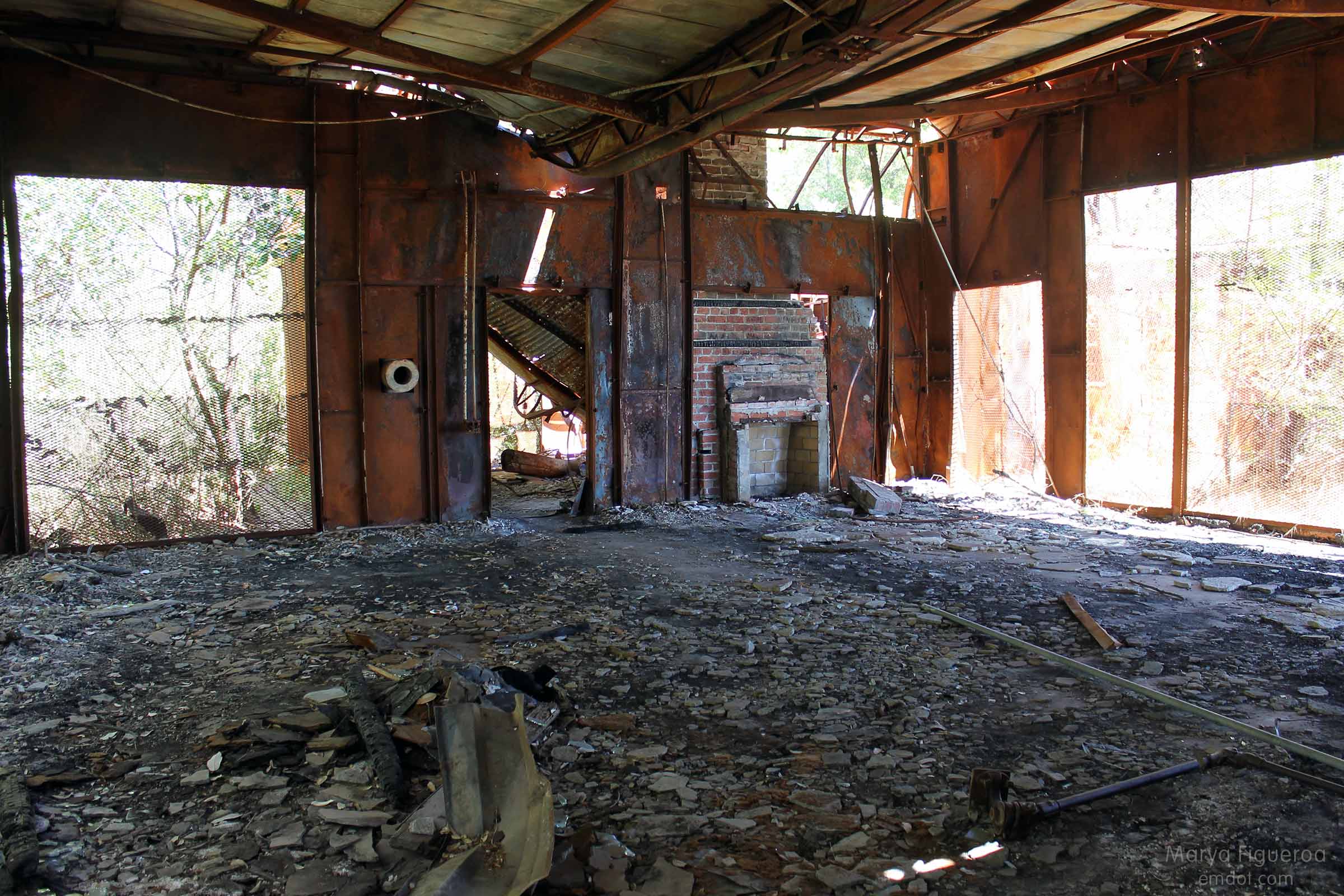
Unfortunately, the 2008 Great Basin Fire roared through here, demolishing the whole house, leaving it in ruins and rubble. The roof has caved in and all that really remains are its metal walls, broken cement, and a front porch.

view of the fireplace

dante graffiti
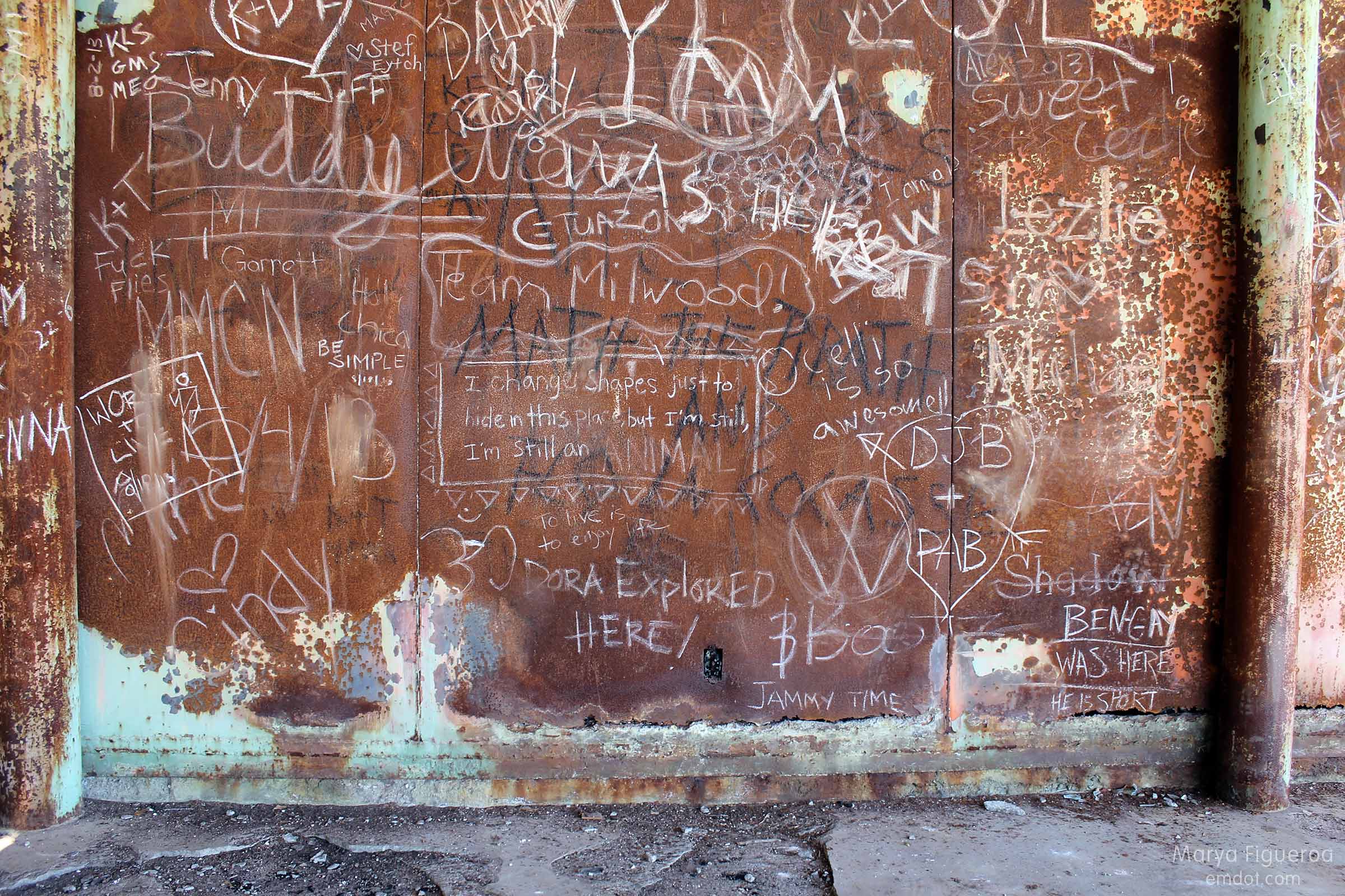
It has also become a canvas for decent hiker graffiti.

graffiti

porch
I do know one story about it. My friend Tom proposed to his wife Cami here. I have it on excellent authority (Tom told me) that this is true. Yea!

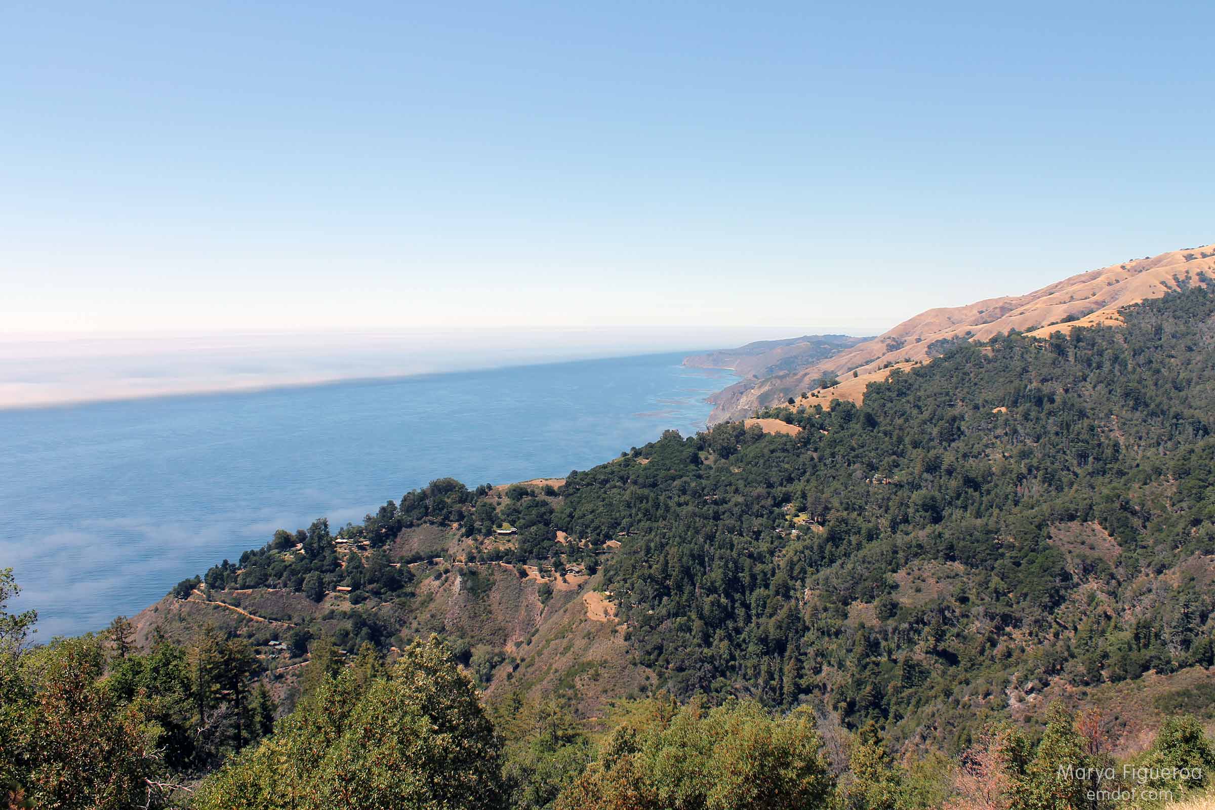
ocean view

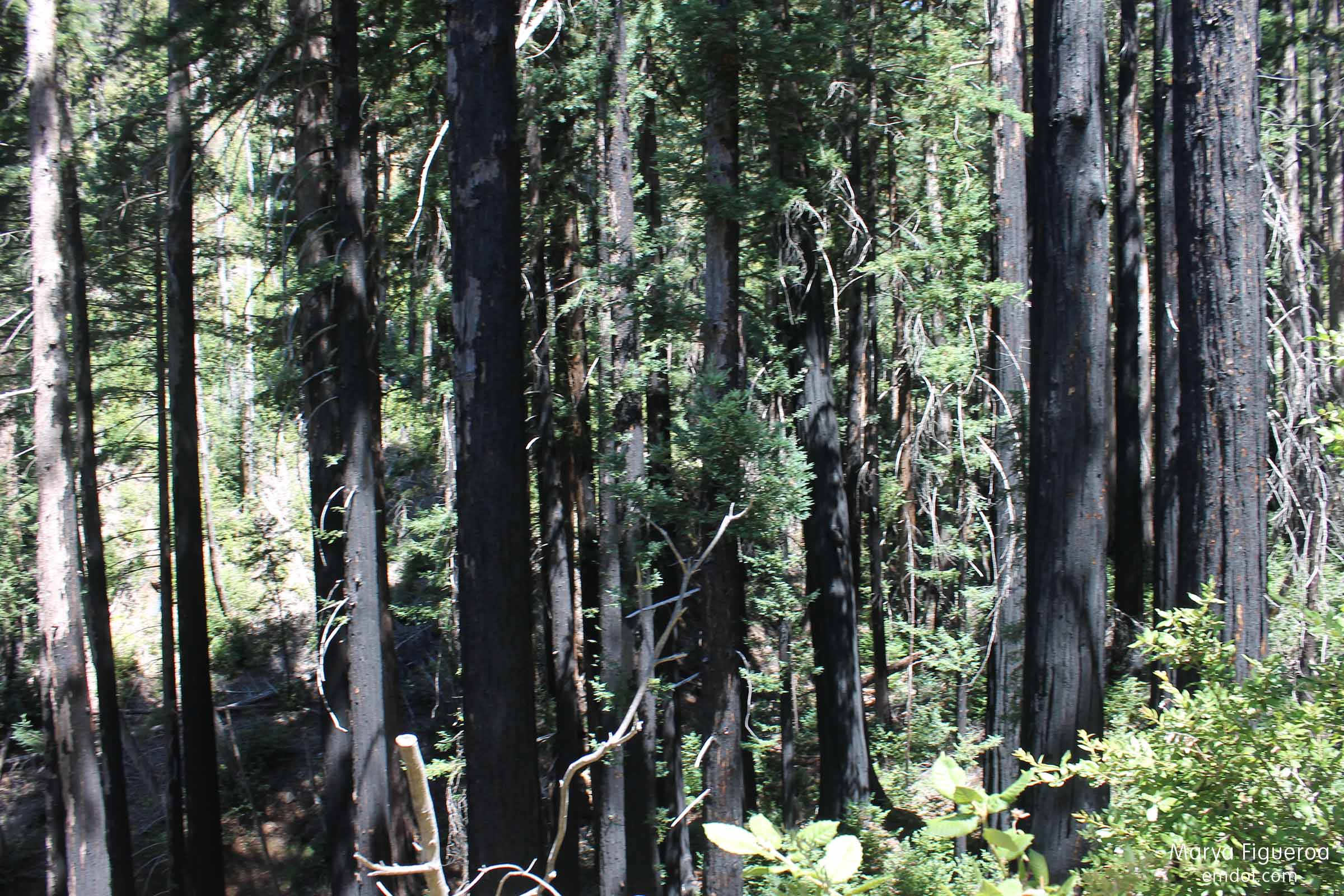
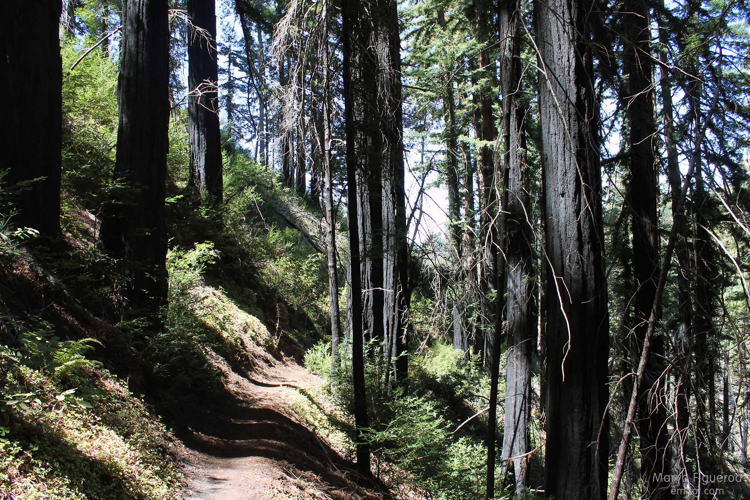
Burned-bark trees

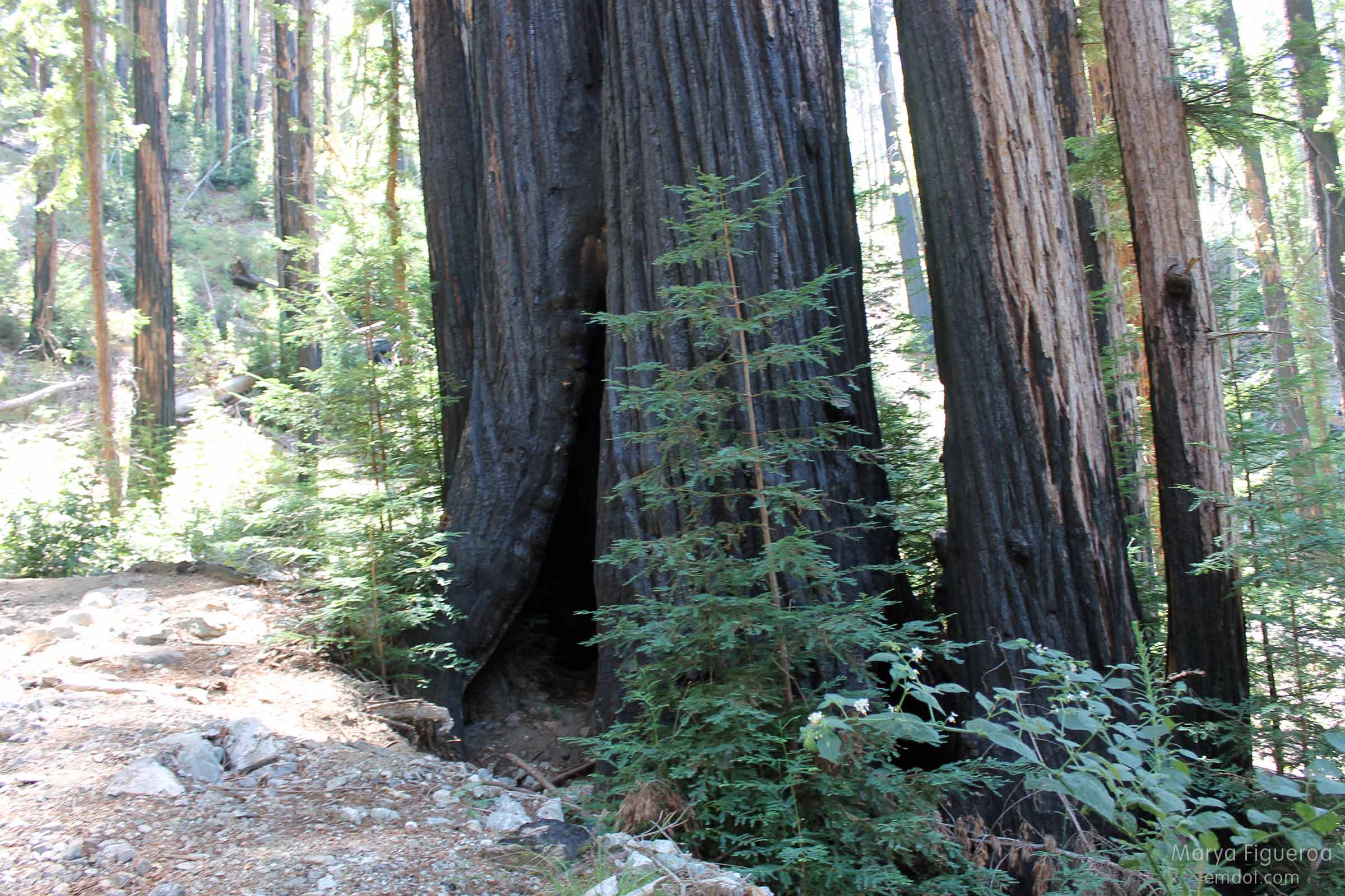
2009 fire burn survivors -- coastal redwood
In 2009 the Basin Complex fire ravaged Big Sur. At over 244,000 acres burned, it is the third-largest fire in recorded California history and the second costliest for the United States (disclaimer: I don’t know the figures for the 2013 fire in Yosemite.)

2009 fire burn survivors -- coastal redwood
The fire was fueled by dying/dead Tanbark Oaks (killed by Sudden Oak Death, aka SOD). The fire was especially hot here and it burned houses and outbuildings. And trees. And trees. And trees.

2009 fire burn survivors -- coastal redwood
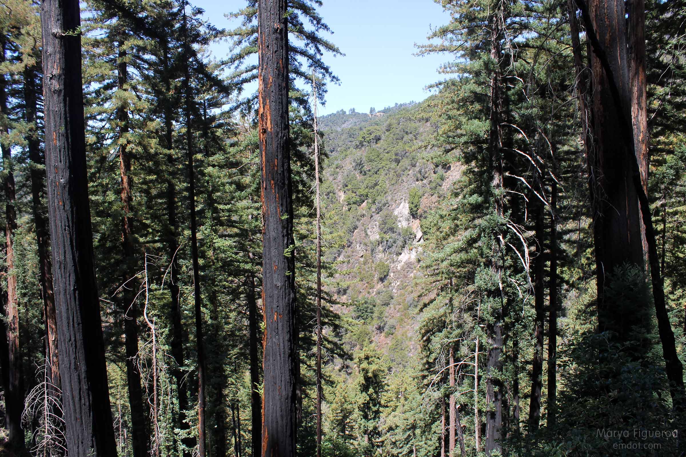
But Coast Redwoods (the tallest trees on the planet) can both survive and (maybe) benefit from terrible wild fires. The outside of the bark will burn, but the important inner layers (often) will not. The burned ground of the forest floor (temporarily free of leaves and needles and other plants) may allow shoots to take root and sprout and grow.

2009 fire burn survivors -- coastal redwood
I can’t tell you why being surrounded by all of these burned trees made me feel emotional, but I did. I do, just thinking about it.

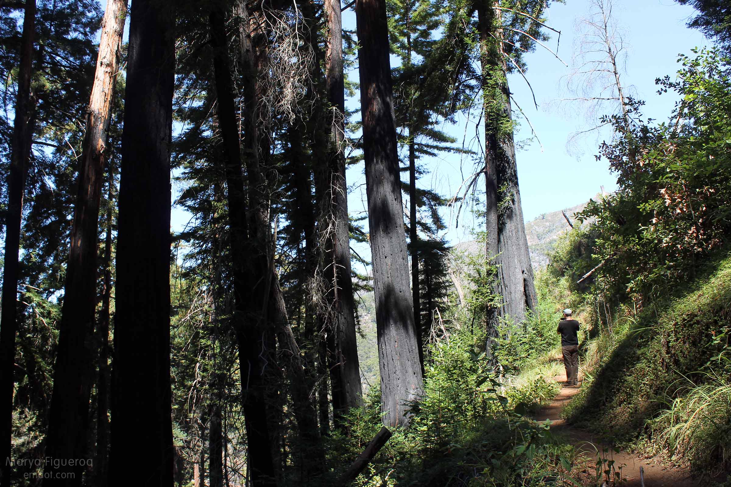
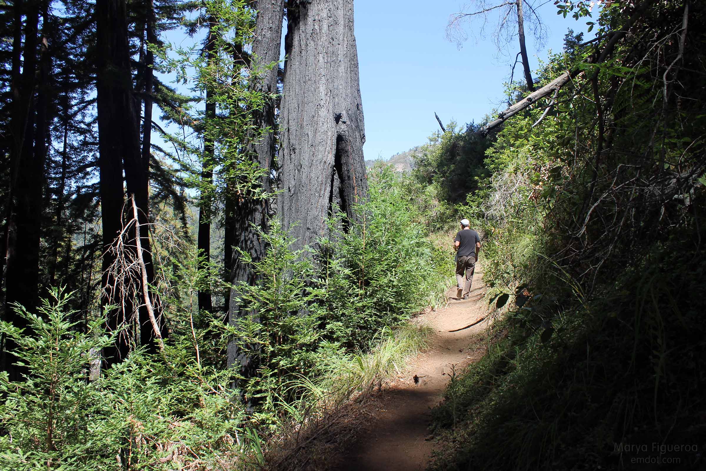
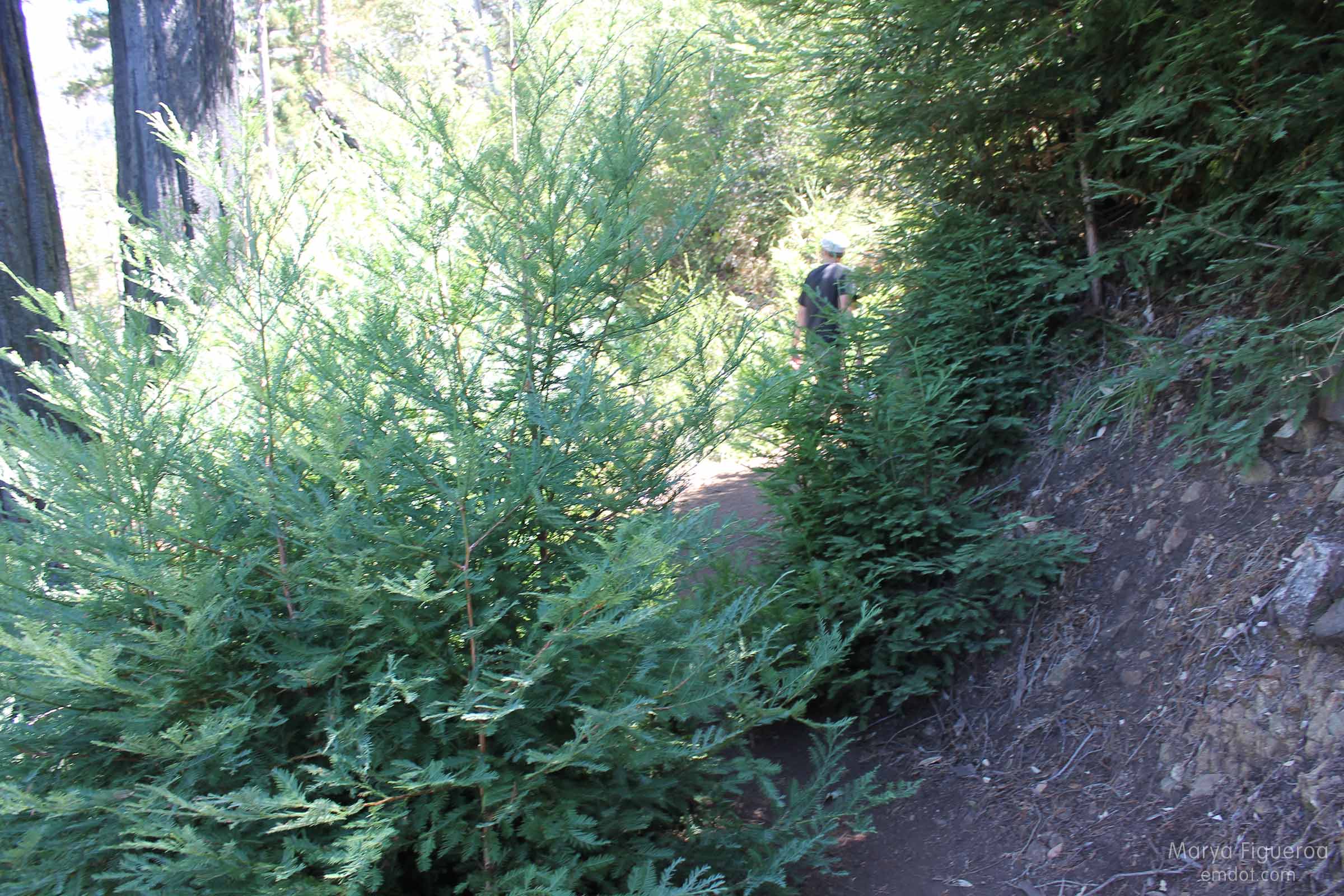
The picture below gives you a little reference in the size and height of these trees. Steve (on the trail) is 5’10”. Note how enormous the big, blackened tree to his left is. Now note all of those bright green saplings growing next to him. Look at how skinny their trunks are and how tall they are. They are babies. Tall, tall babies.

2009 fire burn survivors -- coastal redwood
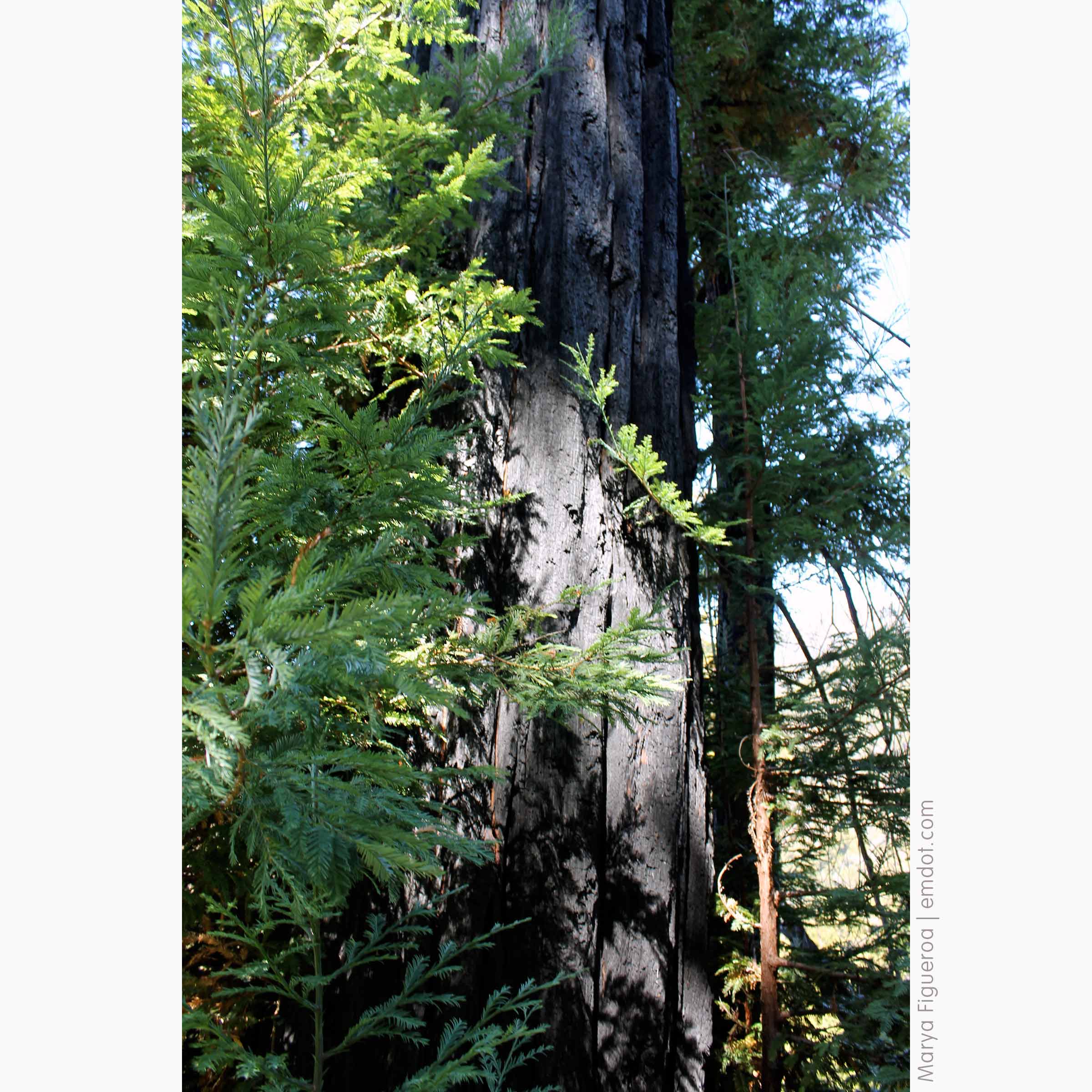
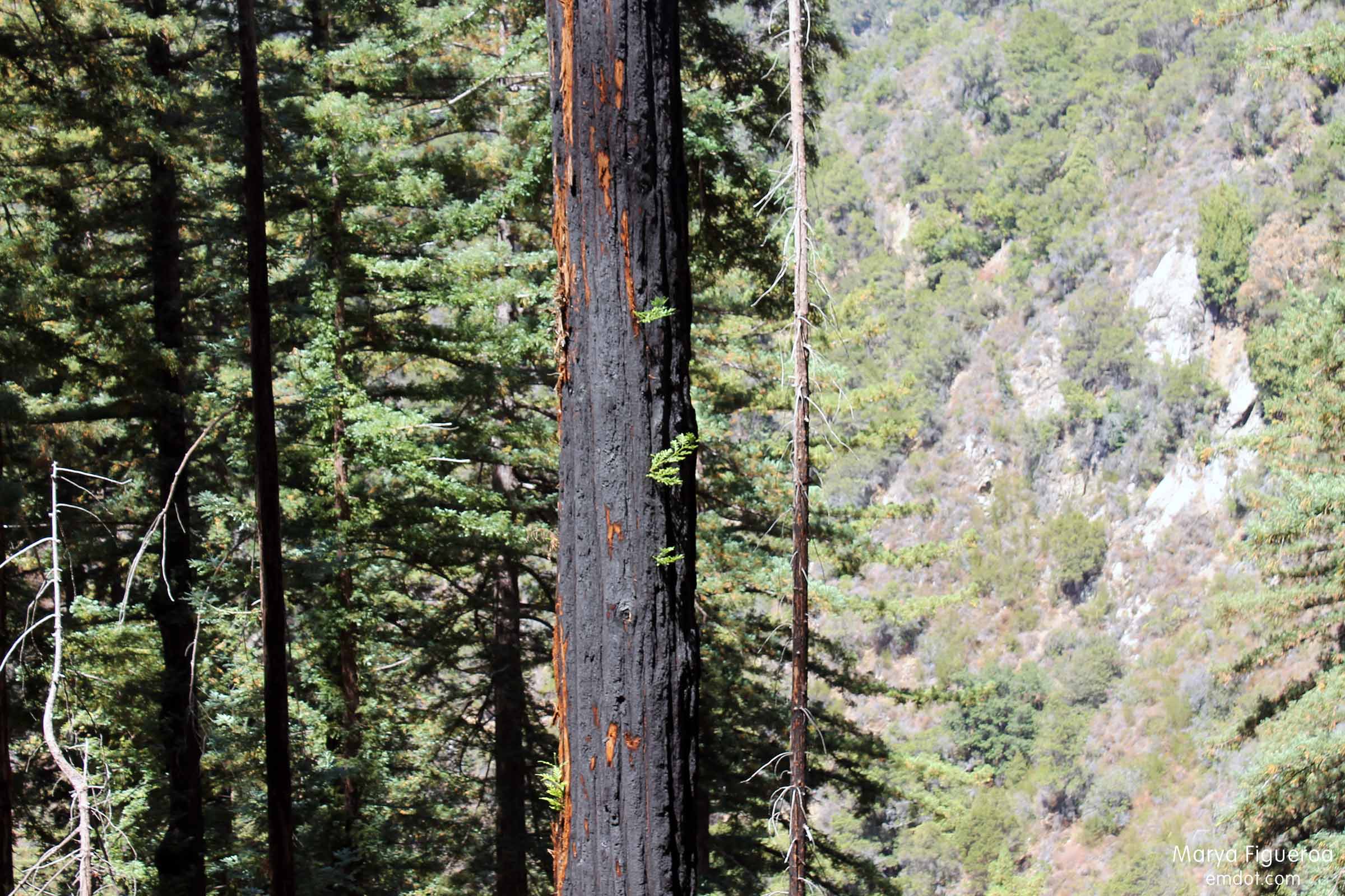
In the photo below you can see how green shoots are coming out of the trunk of this burned tree.

2009 fire burn survivors -- coastal redwood
And below, a closer view. Also note how the underlayers of the bark are not burned. Amazing to me.

2009 fire burn survivors -- coastal redwood
Whoever maintains this trail (I believe it is part of the Julia Pfieffer Burns State Park) is allowing the saplings to take root and grow wherever they come up — even if it’s right in the middle of the trail. I love that. We had to walk around several new stands of saplings.

coastal redwoods new growth
Below, another example of old and new trees. The bright green whippersnapper in the front is easily 10 feet tall. That puts into perspective the size of the blackened tree behind it.

2009 fire burn survivors -- coastal redwood
I am going to do a post on the Tanbark Trail in general, but there was so much to this trail, I had to do a couple of extra posts to show the details (last night I posted about my bear sightings; still coming up: the Tin House.).

The Basin Complex Fire ravaged this part of the coast. I am so happy that some of it can come back.

Bear Sightings?

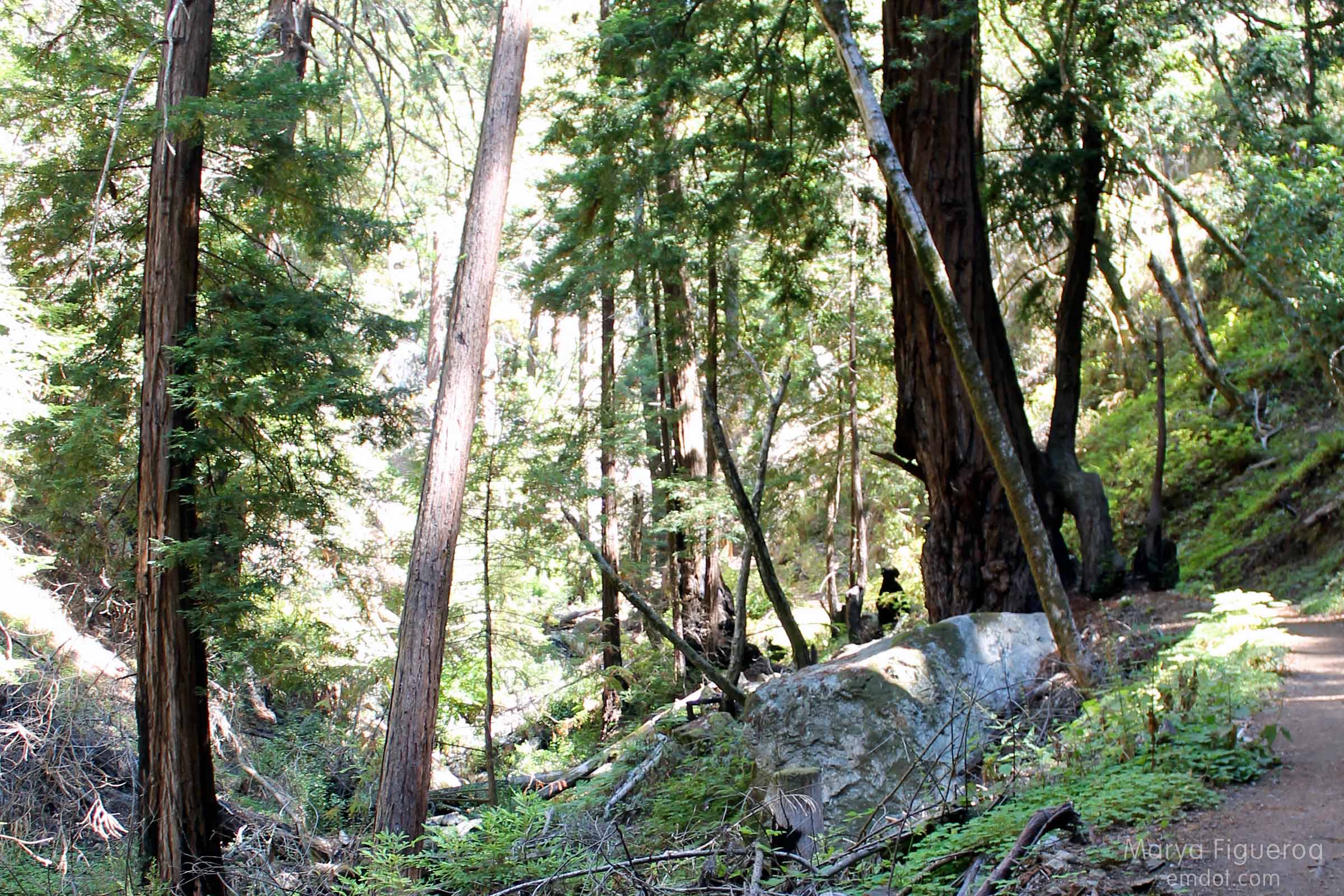
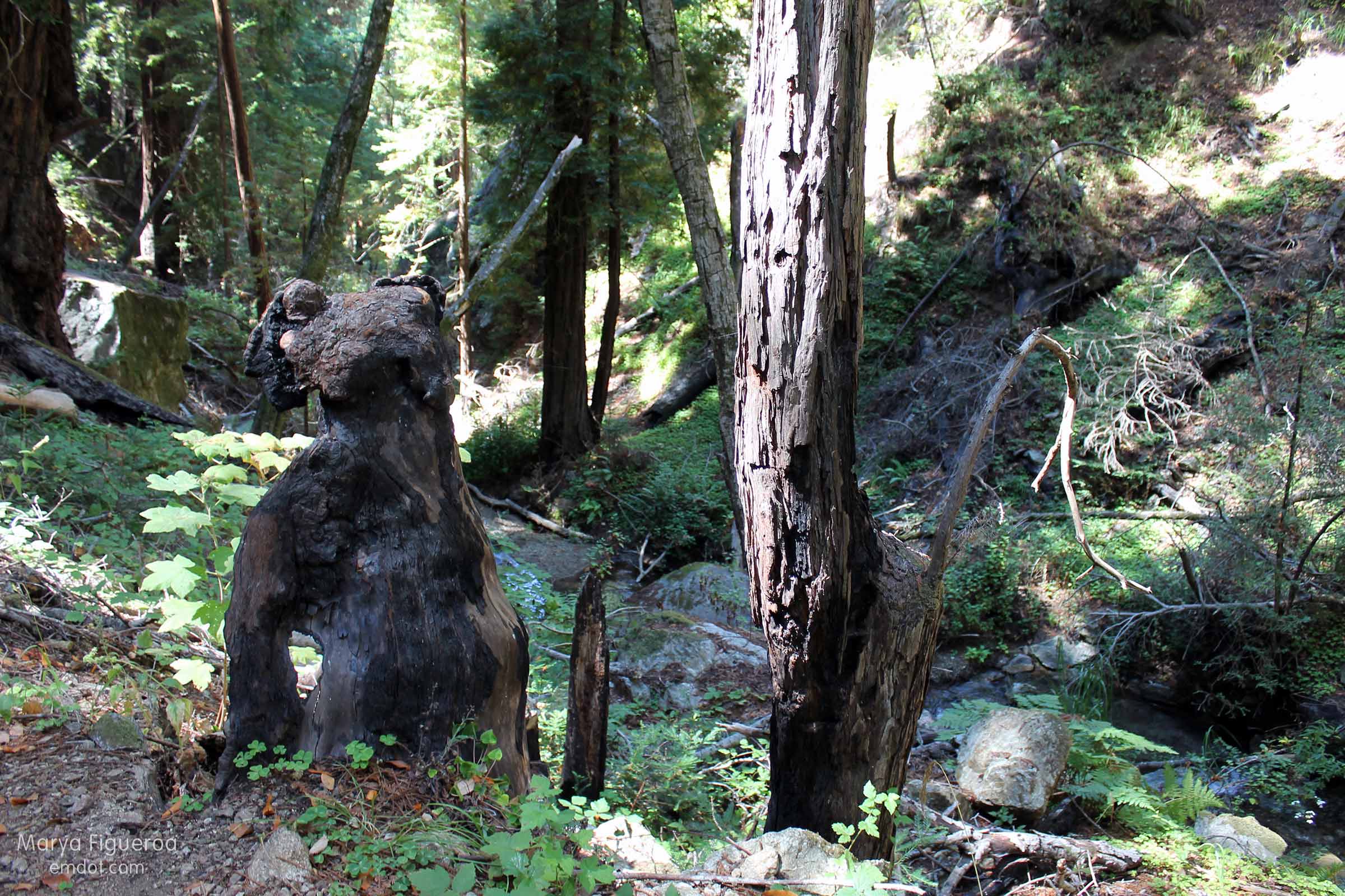
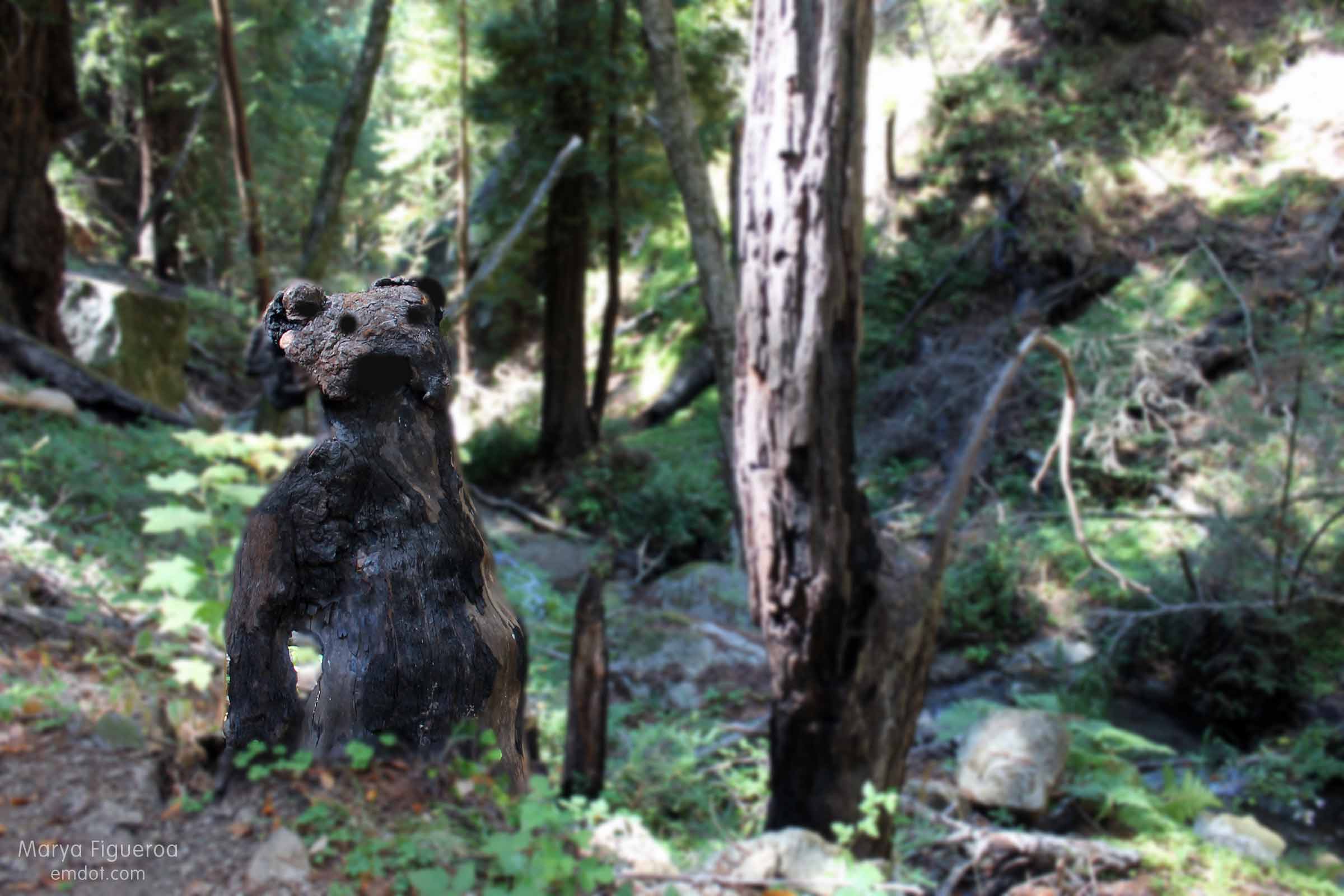
it looked like a bear
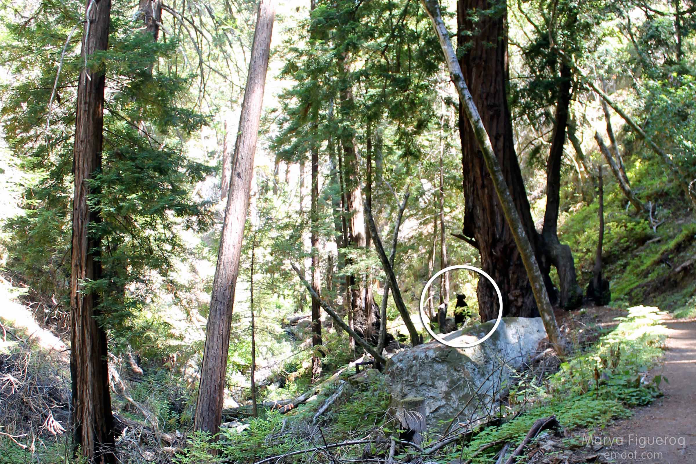
The 2008 Basin Complex fire that ravaged this canyon and forest blackened many coastal redwood trees, but most seemed to be surviving. Most. Not all. Those that didn’t survive took on shapes of their own. This gnarled half-trunk caught my eye, giving me a start. My brain gasped BEAR! several times.

it looked like a bear (circled)
The illusion held up as we got closer…

another view of the bear

the tree that looked like a bear

Whales, Rain Rocks and a Broken Arm

Pitkins Curve and Rain Rocks and the Big Sur coastline
I want to preface this post by saying that the stretch of Highway 1 through Big Sur is known as The Scenic Crawl. On these 100 or so odd miles of twists, turns, and cliff-to-sea vistas you will find tens, maybe even a hundred, turn outs where you can pull over to let faster cars pass or get out, stretch your legs, and take in the views.

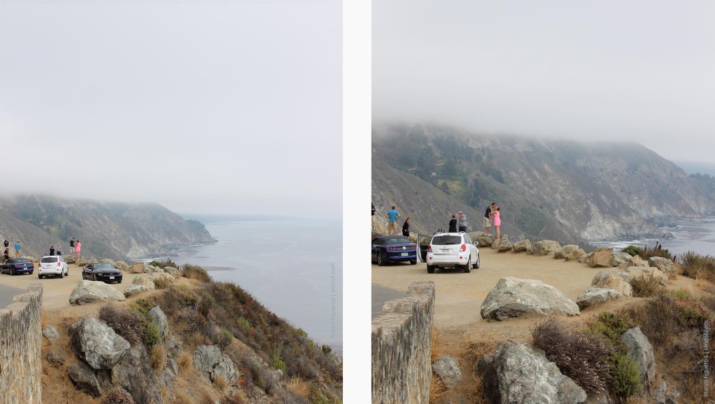
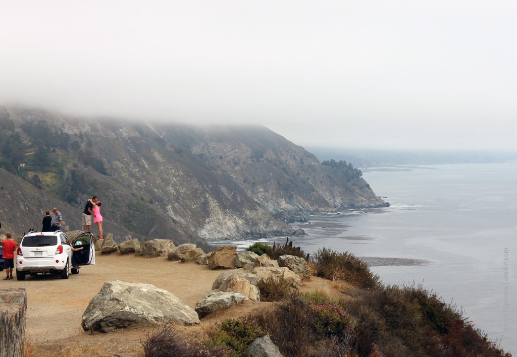
Hundreds of people do this every day. Often you see them standing on top of berms in order to get a better look. This is so common that it becomes a part of the Big Sur experience, both seeing it and doing it.
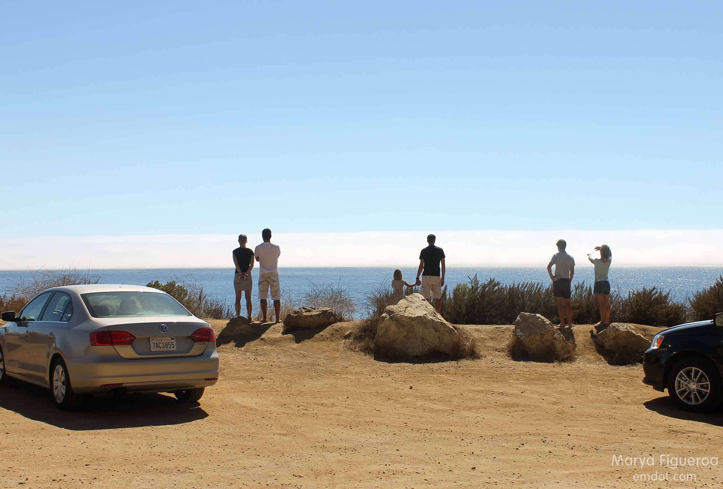
people on berms looking out to sea
We had spent the day in Big Sur hiking the Tan Bark trail and traipsing along the coastline (posts to come). We’d caught glimpses of whales while on our hike — big spouts of spray shooting up into the air, even though the whales themselves were a mile or so out. Despite being so far away, a whale siting is still exciting, still worth a finger pointing out to sea, and still warrants a cry of “whale!” ensuring your hiking partner has seen them as well.
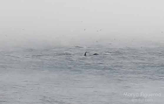
whale tail and dorsel fin
As we drove home we saw even more glimpses of whale activity and pulled over in three different spots to marvel at these creatures and our luck at seeing them, regardless of how far out they were.
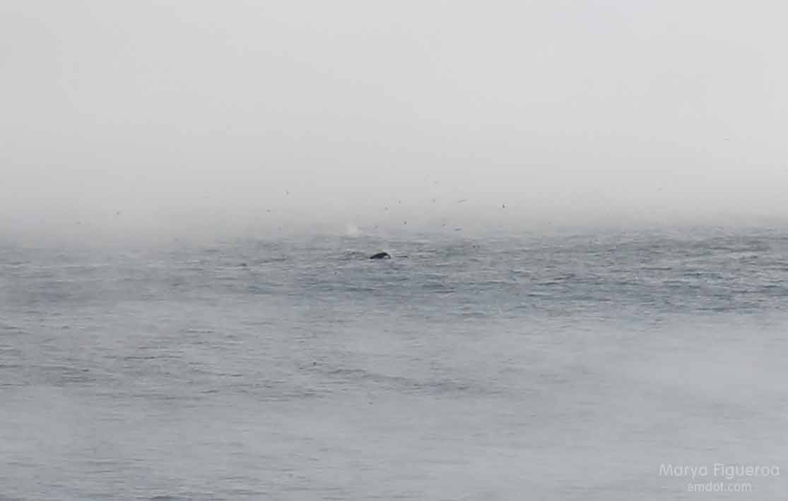
whale back
For our third stop we used a turn out just north of the huge construction site for Pitkins Curve and Rain Rocks. We’ve been eagerly charting this development for a couple of years, marveling at the work. Stopping here was exciting to me because not only would I see whales and the beautiful fog over the ocean, but I would finally have the opportunity to take some shots of the construction site.
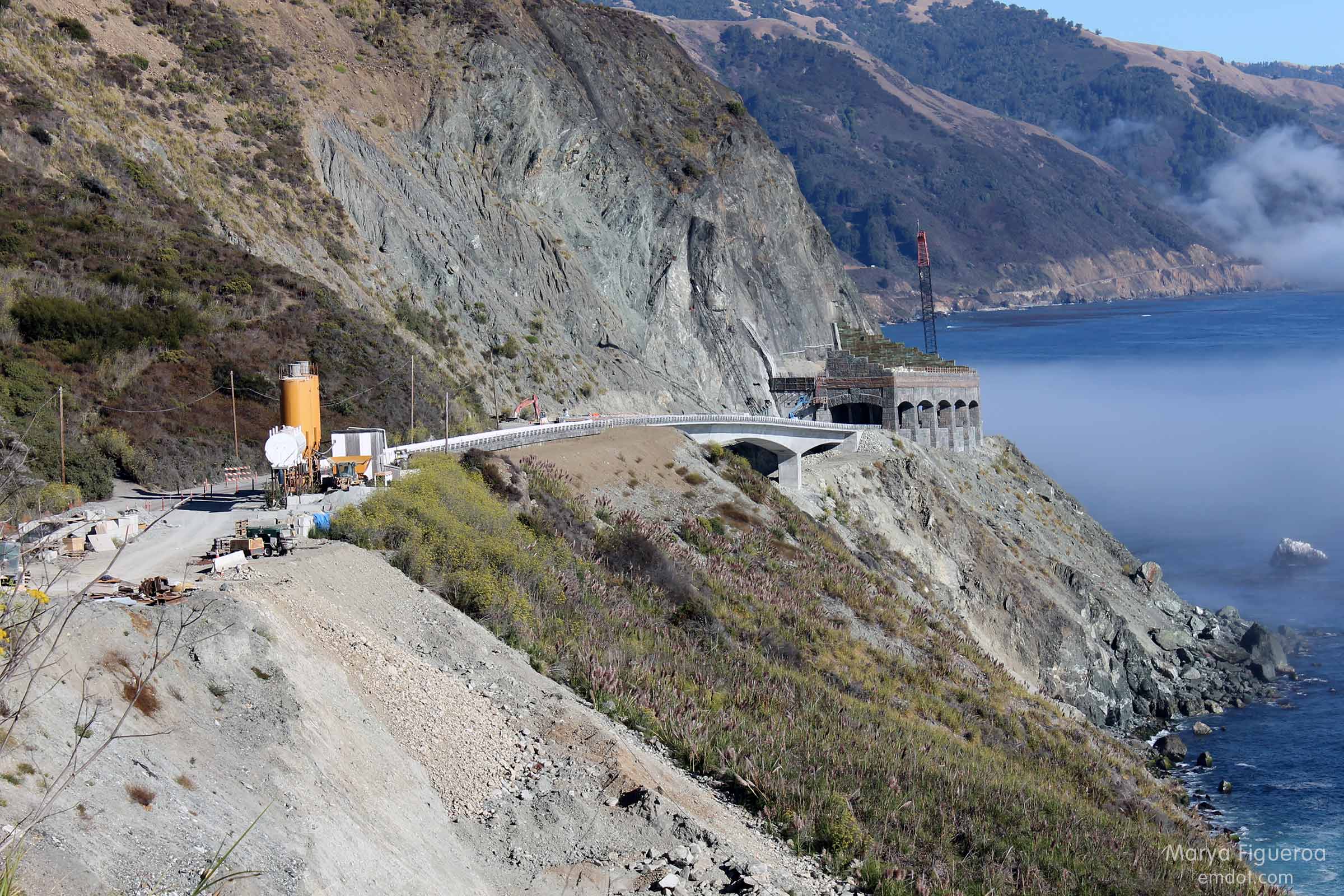
Rain Rocks and Pitkins Curve
Note the very large boulders below the rock shed. THOSE CAME FROM UP ABOVE. Just a couple of examples why this rock shed is so important to this part of the coast. Prone to regular landslides and rockslides, Rain Rocks and Pitkins Curve, when damaged, can shut off the road for months at a time. Not only cutting off access for tourists, but isolating residents as well. (See Big Sur Kate’s blog for insight from a resident.)
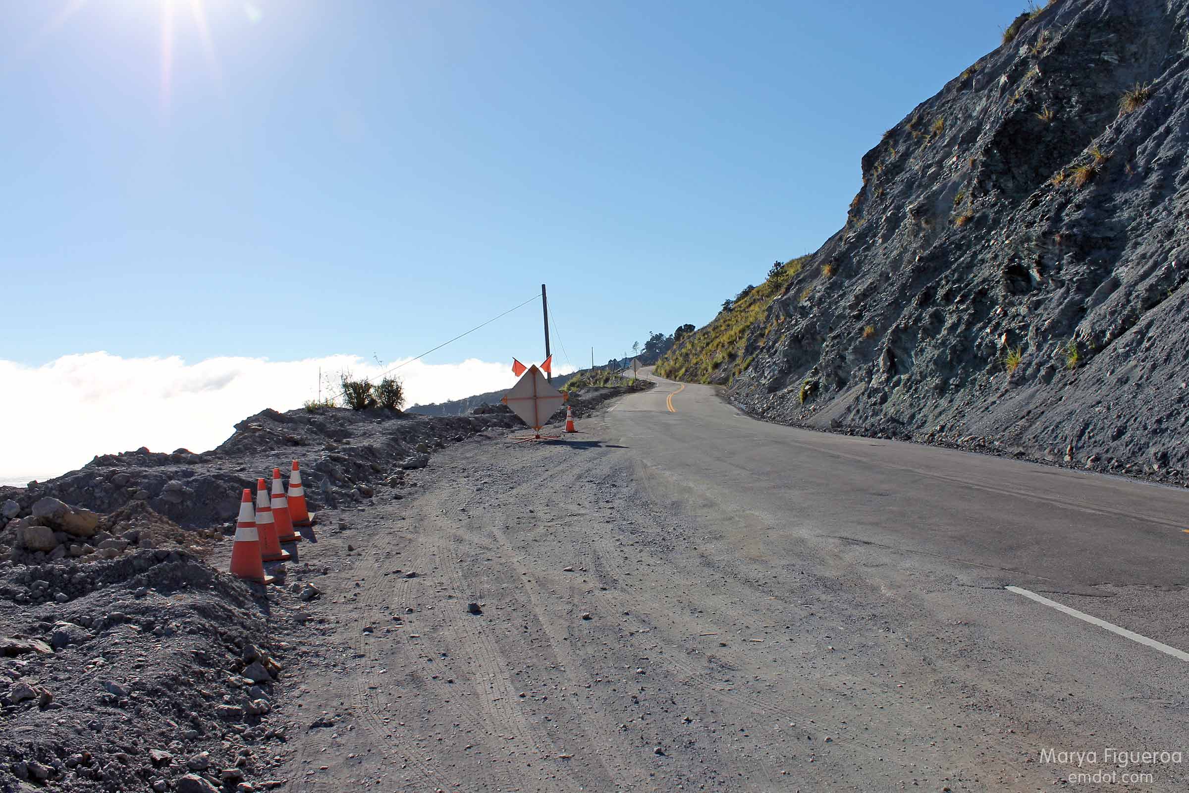
turn out, looking north
While there was a turn out here, it wasn’t a “nice” turn out. It is rough. I guess it should be, considering this is a landslide zone. The earth itself is made up a type of sandstone known as greywacke, a crumbly, unstable type of soil. If I had known about its properties beforehand, perhaps I would not have chosen to stand upon the berm at this location.
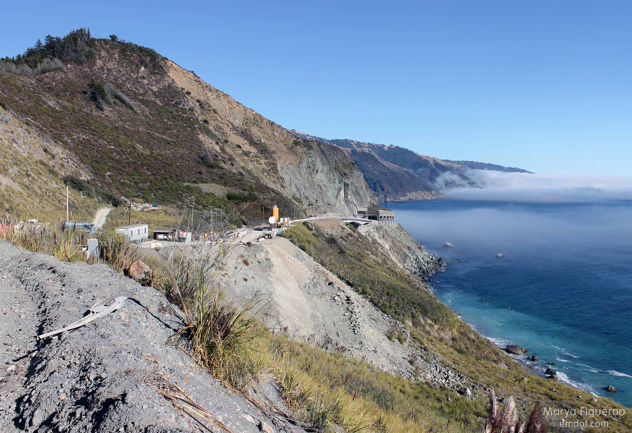
Construction site at Pitkens Curve and Rain Rocks
As I stepped up, I made a mental note that it was not hard packed like the berms at other locations. My feet sunk into the dirt a half-inch or so. The site was dusty and gritty. I stood squarely on top and it didn’t feel unsafe, but, as there was a sloping cliff directly below us that plunged hundreds of feet into the Pacific Ocean, I did stay mindful.

Below you can see what this coastline looks like (photo from the blog post Rain Rocks | The Coast Road). We were standing about one-half inch to the left of the Pitkins Curve arrow. There is a small dark-ish spot near where we were standing.
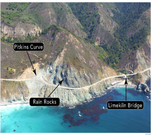
pitkins-location2
Out to sea there were about seven whales spouting and breaching and slapping their tails. The fog bank put on a show, too.
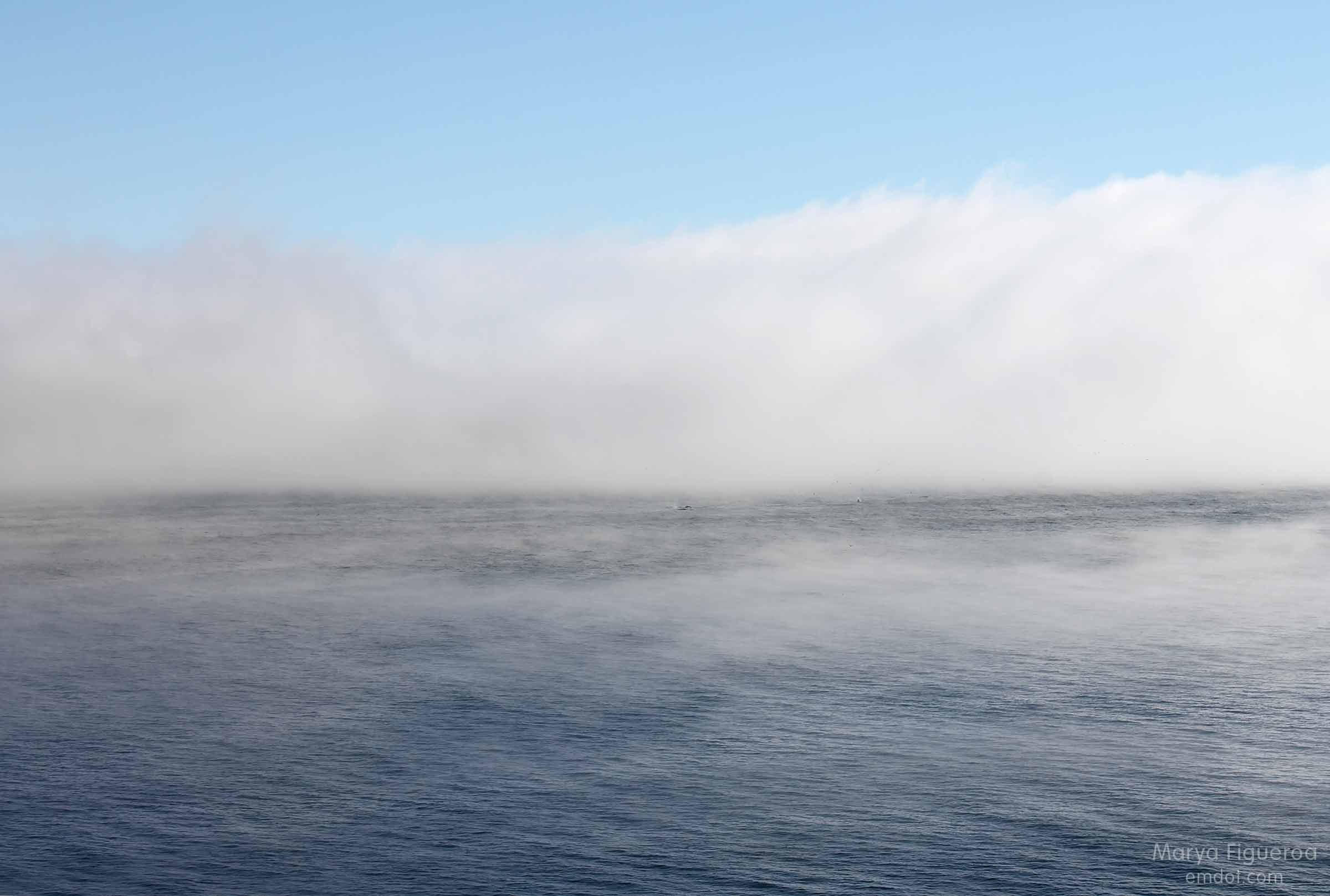
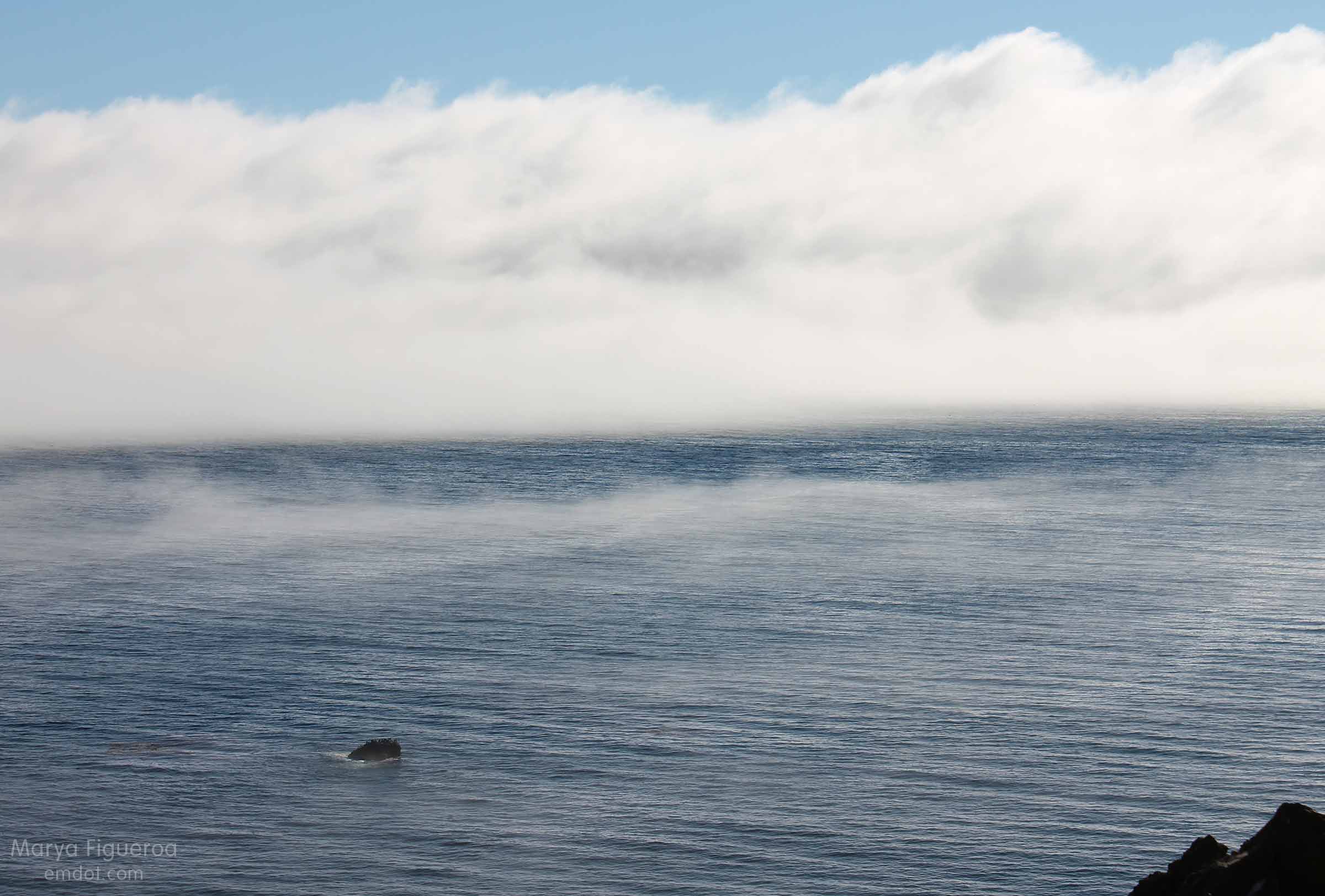
looking out to sea

fog bank
After a few minutes we decided to get back in the car and continue our trip home. Even though SLO was only 70 miles away, the crooked road and slow speed limit slows you down. It would be another two hours before we’d get home.
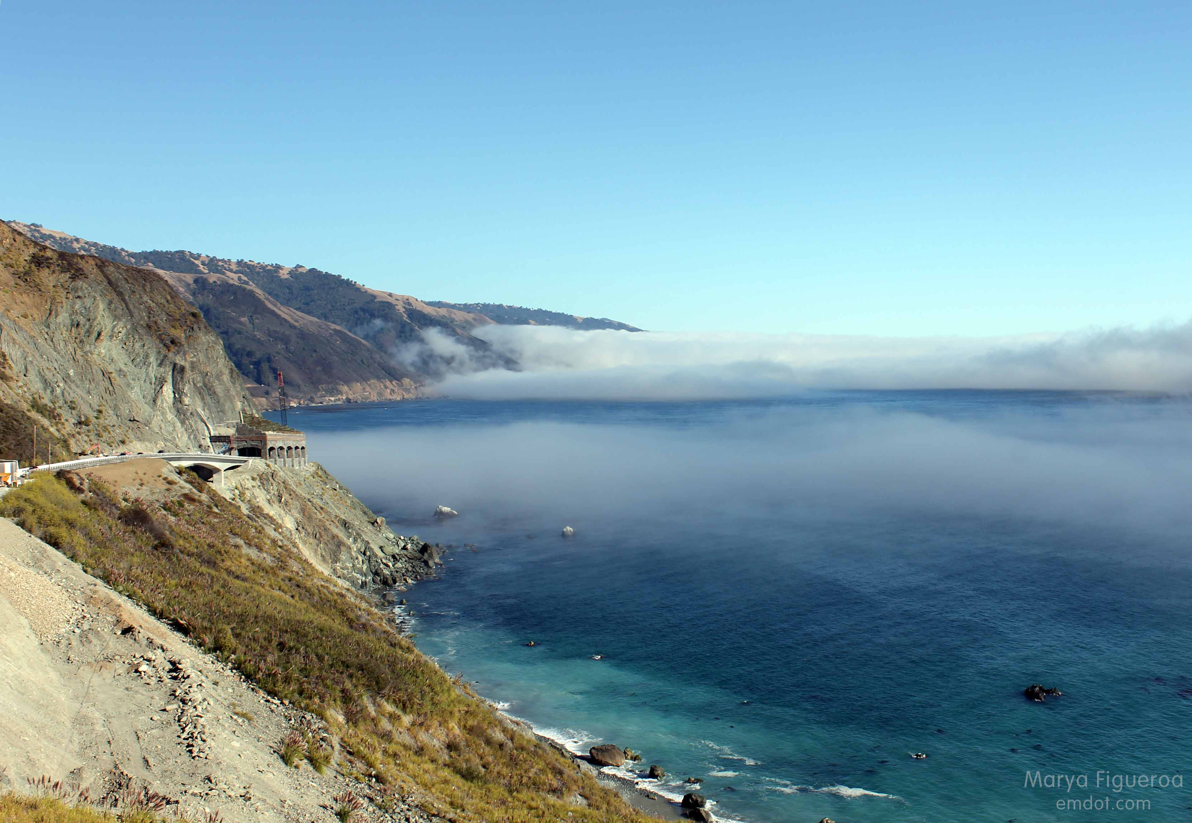
Looking south again towards Rain Rocks
The berm where I stood was maybe three feet high. It took a step or two to get up and it would take a step or two to get down.

The dirt gave way, though, when I took my first step down. I tried to find my balance, but couldn’t. It wasn’t one of those slow-motion falls; it was a fast-moving crumple. As my feet couldn’t get their bearing, I just collapsed in a hard-hitting stumble-fall towards the road.

Steve was by my side in an instant. One of my sandals was three feet away (how did that happen?). My keys had pitched from my hand (and we were both so happy they didn’t go over the cliff). I stayed very still for a moment, both gathering my wits and making sure I was okay.

I was rattled, but I was okay. Adrenaline is a wonderful thing. My right hand had a giant road rash and started bleeding right away. My arm hurt, but I could move my fingers. I could stand up. I got my sandal back on. Steve grabbed my keys. It was a close one. But I was okay.

We drove straight to my doctor’s office stopping only to see if we could find some painkillers (nope) or some ice (thank you Ragged Point!). We learned later that I had a minor fracture (a nondisplaced transverse ulna fracture) that my doctor said couldn’t have happened in a better location. I got a splint. I got some heavy duty pain medication and I headed on home.

Even though it was just a little spill with just a little injury, I realize it could have been so much worse. I feel grateful that I fell toward the road and not the cliff. I feel lucky that it’s only a little fracture and not a compound doozy. I feel thankful that Steve was there not only to drive us home, but to soothe and take care of me. I feel a little stupid and cavalier for taking frivolous risks so far from home and help. It’s a fine line between smart and scared, between adventurous and idiotic. I’d like to veer on the smart and adventurous side.

I go see the orthopedist soon. My bet is that I will stay in the splint and not need a cast. I’m a little sad I won’t be able to take yoga classes or lift weights in the weeks to come like I was planning, but really, I’m just happy to be safe and on the mend.
Beach Feet

Many birds on the beach
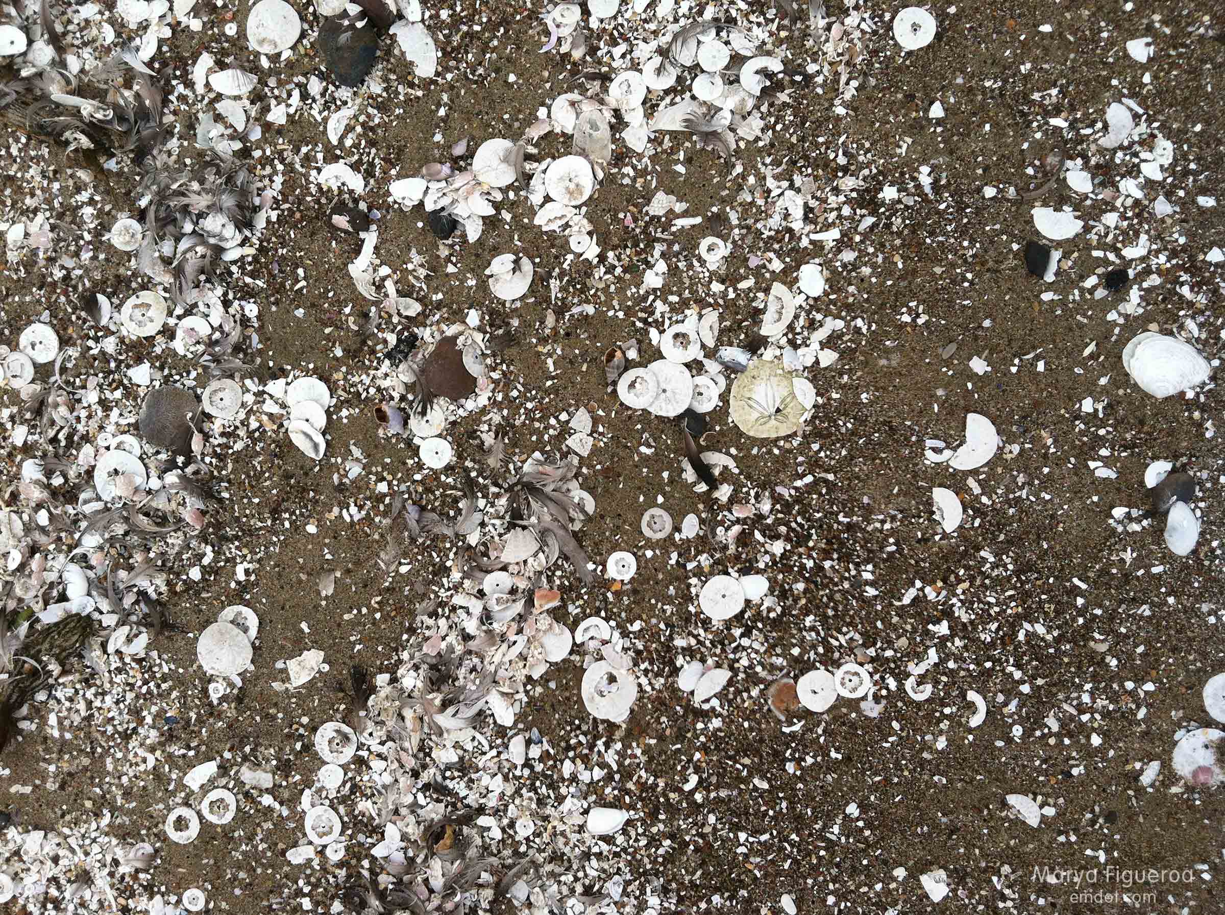
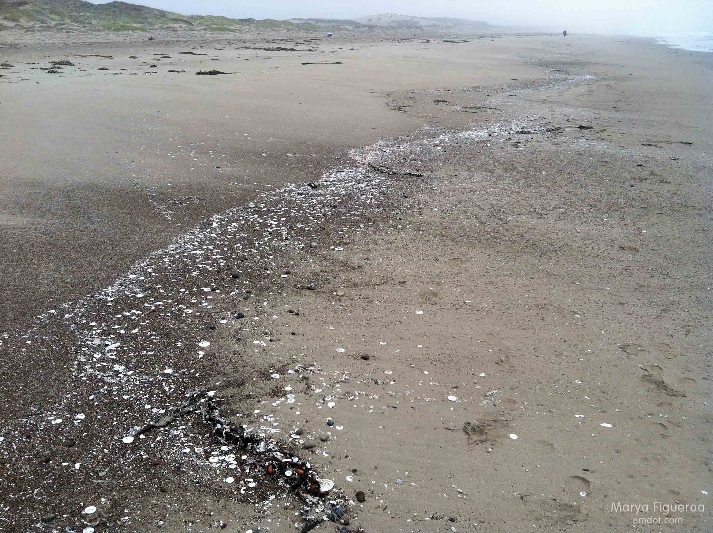
There were a ton of birds on the beach — curlews, whimbrels, willets, plovers, cormorants, pelicans, terns and more gulls than a person could count.

Now, I’m not positive about my bird identification here, but based on what was standing where, I think I got these right.

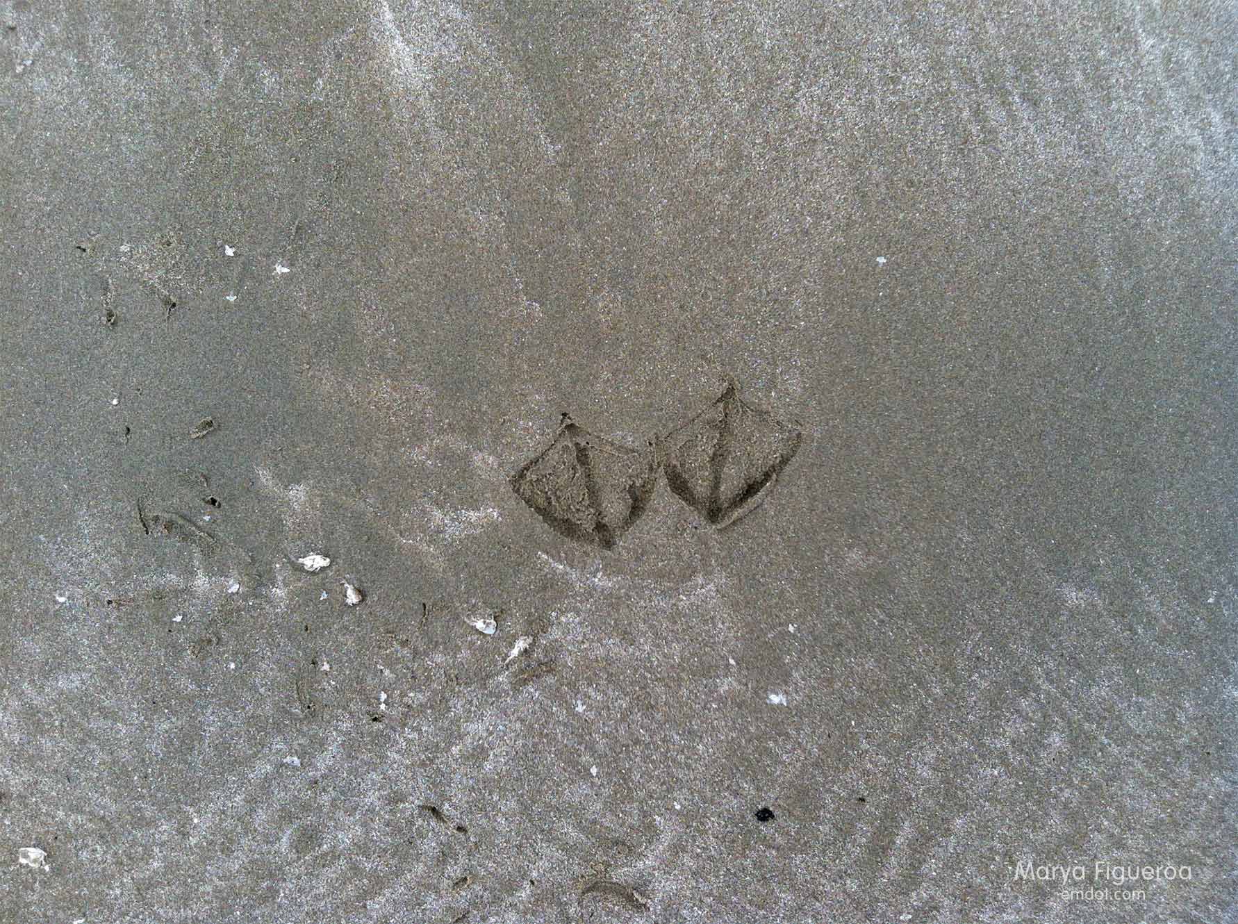
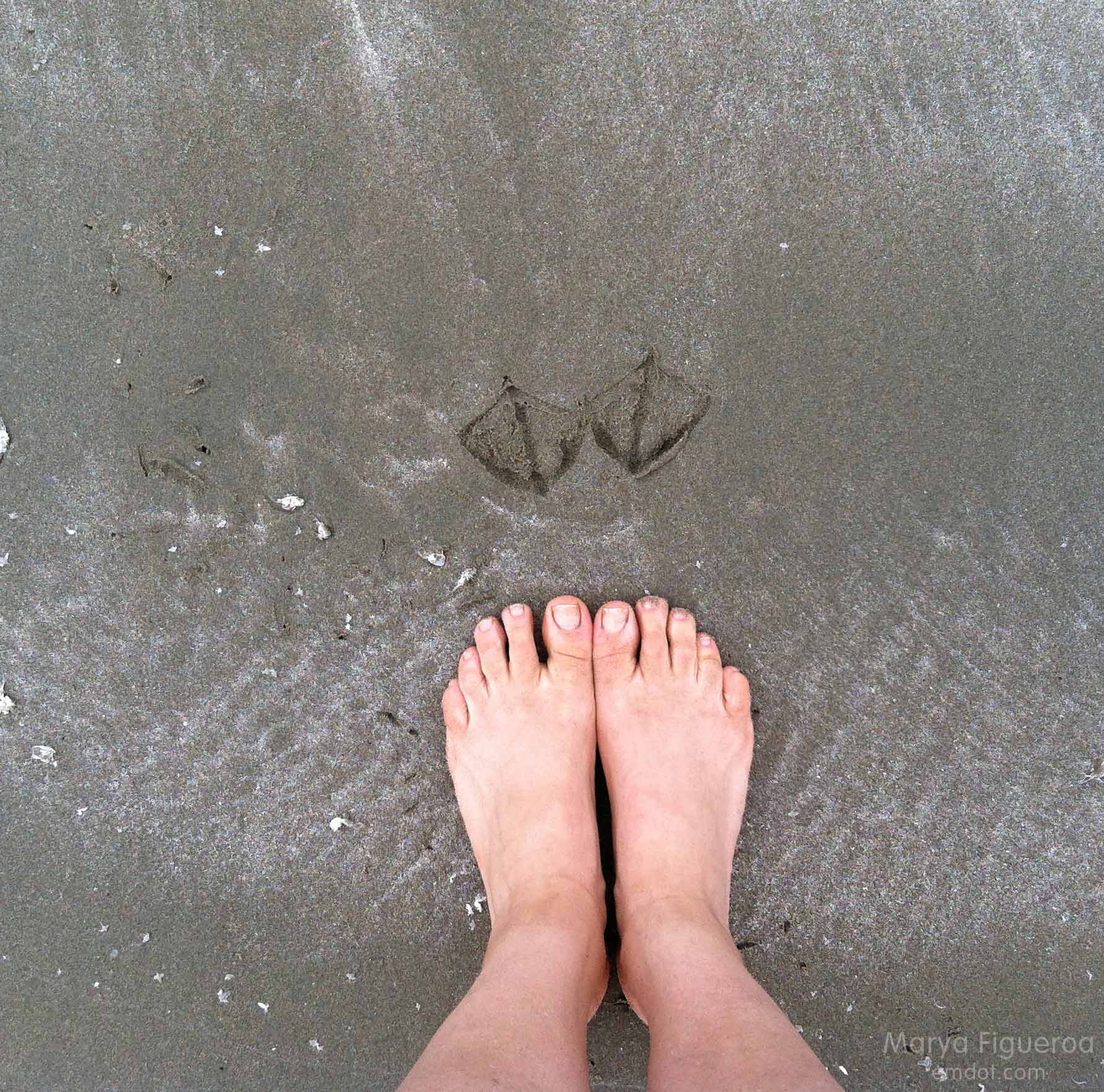
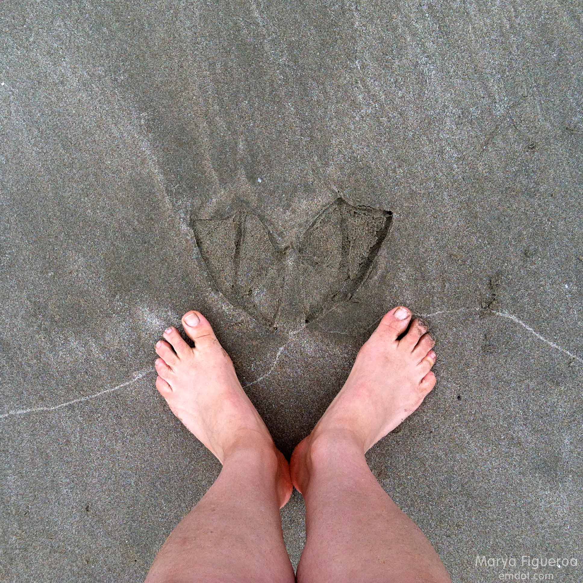
Below: seagull.

seagull footprints

seagull footprints in comparison with my feet
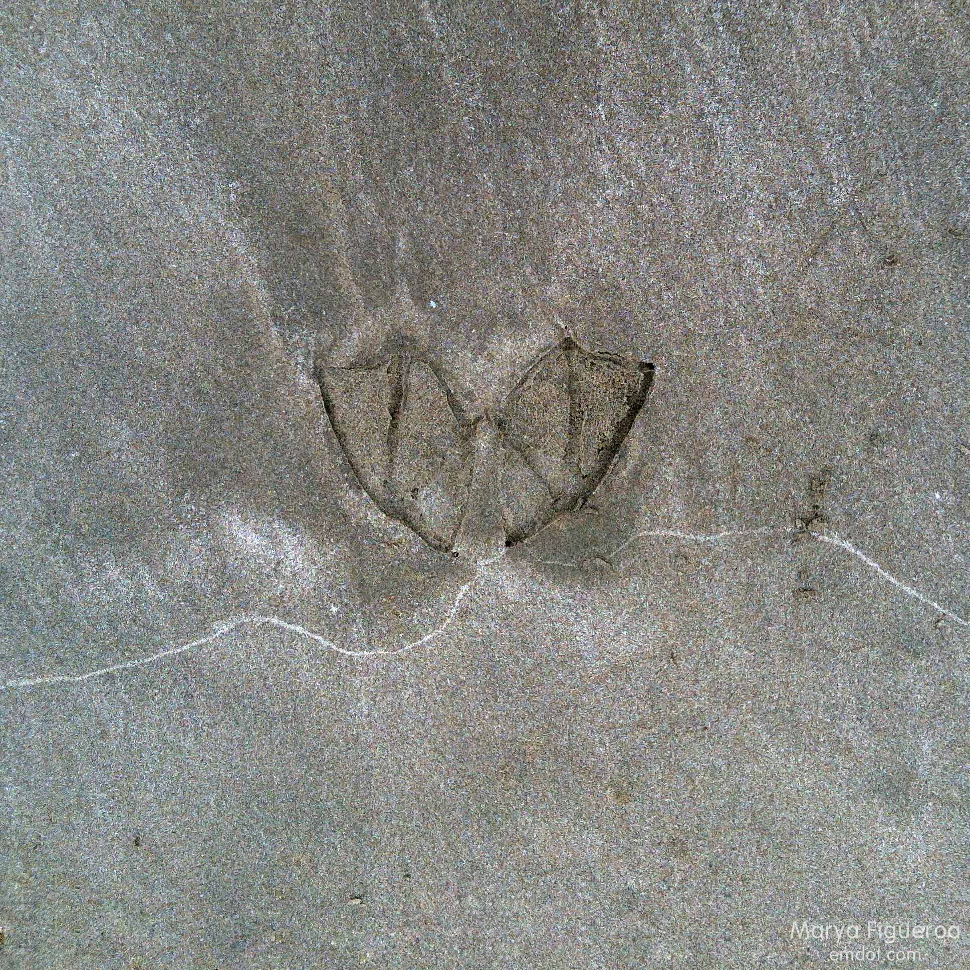
Below: cormorant.

cormorant footprints

cormorant footprints with my feet in comparison
So much bigger than the gull, right? I didn’t see any pelicans on this part of the beach; could cormorant feet really be that much bigger than a gull?

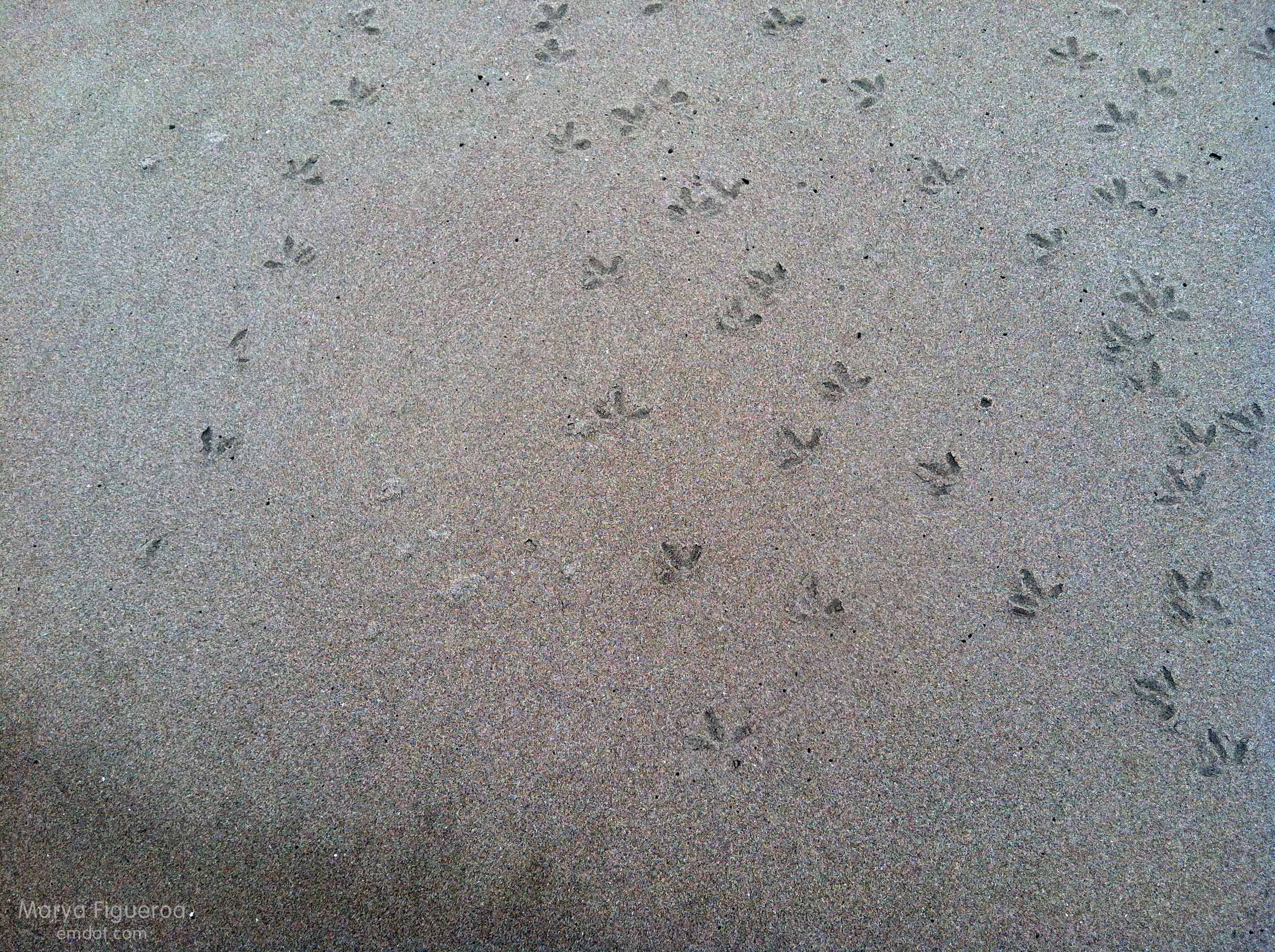
Below: mystery bird! These are really tiny. I will guess that they are terns (because there were terns everywhere) and they are half-ish the size of the gulls. They could be sandpiper or plovers… but are those little birds heavy enough to even leave a footprint? I still think terns.

mystery prints -- maybe terns? maybe plovers?

Hanging out at the Henry Miller Library

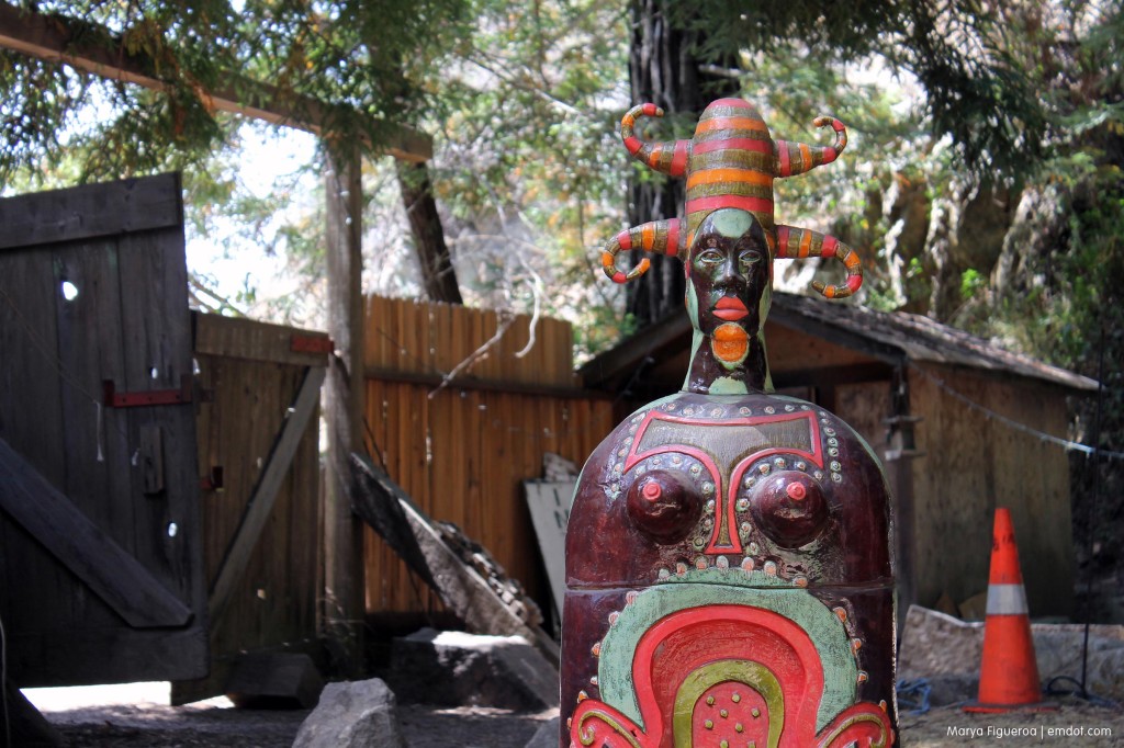
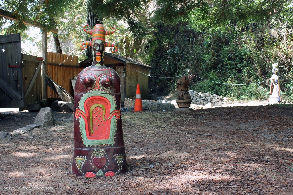
Statue at the Henry Miller Library, close up

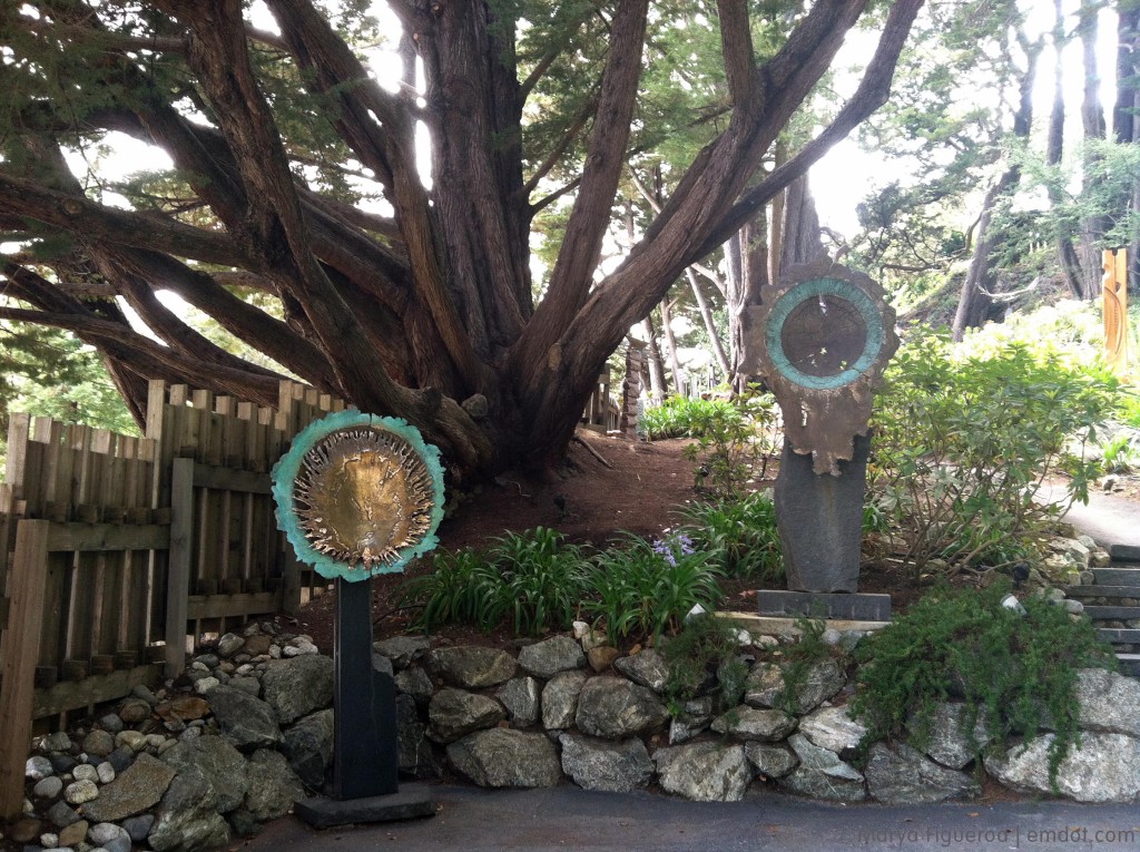
Henry Miller Library isn’t necessarily a “library” tho his books and typewriter are there. It’s not really just a bookstore, though you can buy books. It’s more than just a venue, tho amazing bands play there. I don’t really know how to classify it, or if anyone would need to.

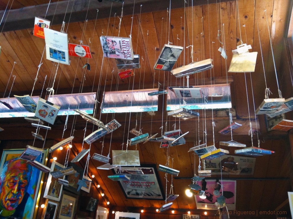
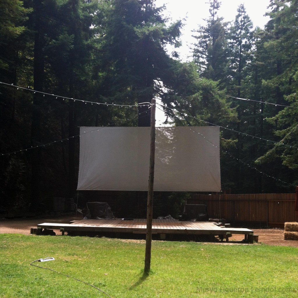
There is art. There’s a gardenish-lawn area. There’s a stage. There are tall tall tall massively huge coastal redwoods. There is the library, which is also a bookstore that features his books and other great books and postcards and posters and memorabilia. Sometimes there are events — from concerts to dinners to talent shows to film festivals. Tourists show up. Locals mill about. I love it.

Statue at the Henry Miller Library

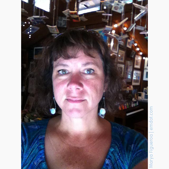
me inside

books hanging from the rafters

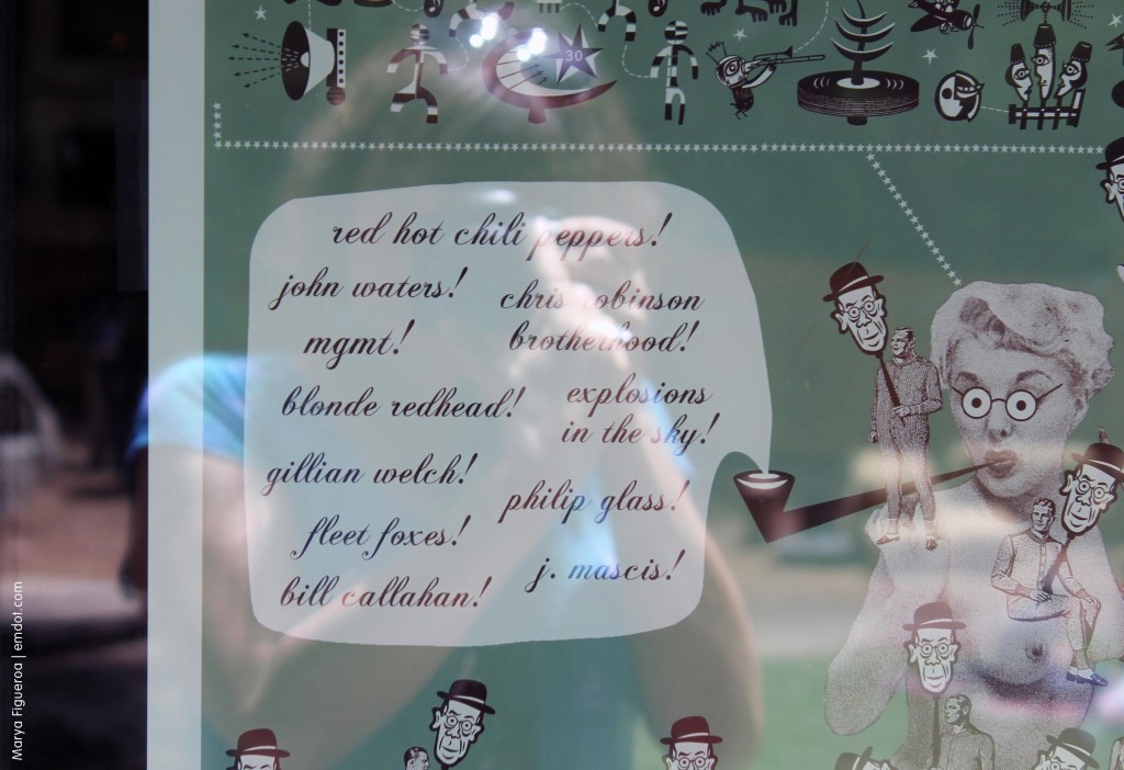
2011 line up poster


There are concerts. Amazing, intimate concerts featuring amazing performers. From Cat Power to John Doe. From MGMT to the Red Hot Chili Peppers. Patty Smith, Bat for Lashes, Steve Earle. (What a range!) I’ve never gone but oh my god I want to.

Below you can see the little stage and lawn for seating.

stage and grass -- where the performances happen

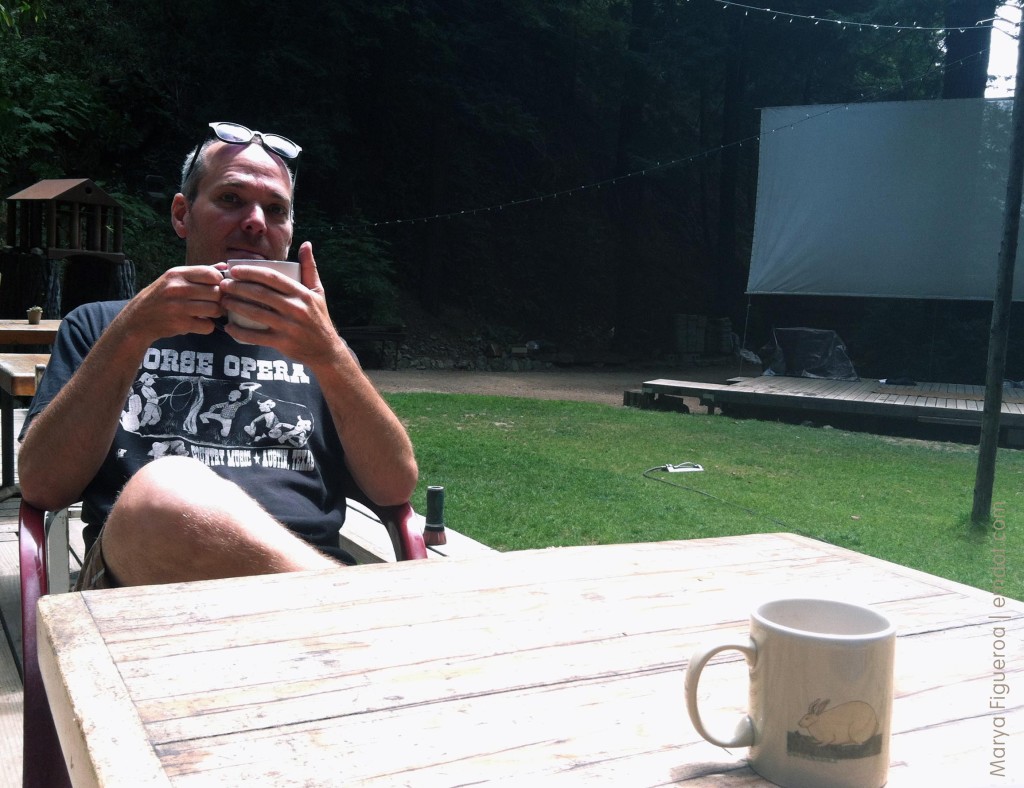
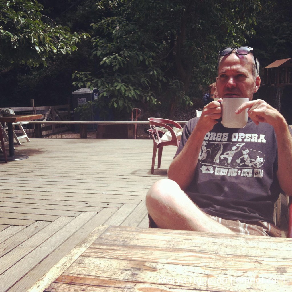
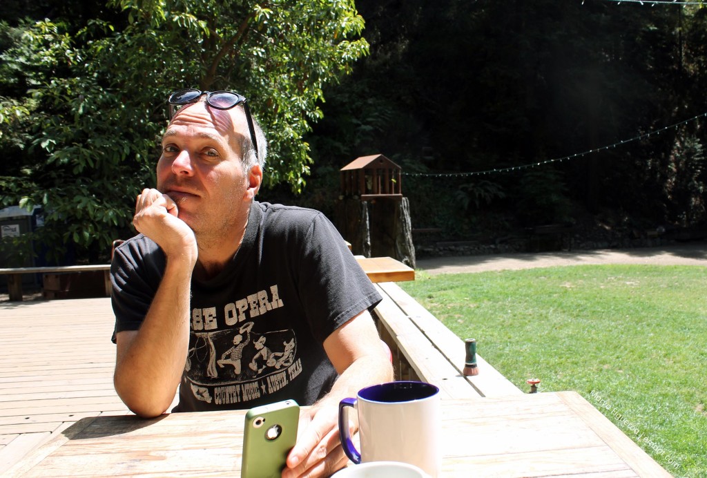
Our main focus, though, was to just chill out with a cup of coffee.

hanging out with steve (stage to the right)

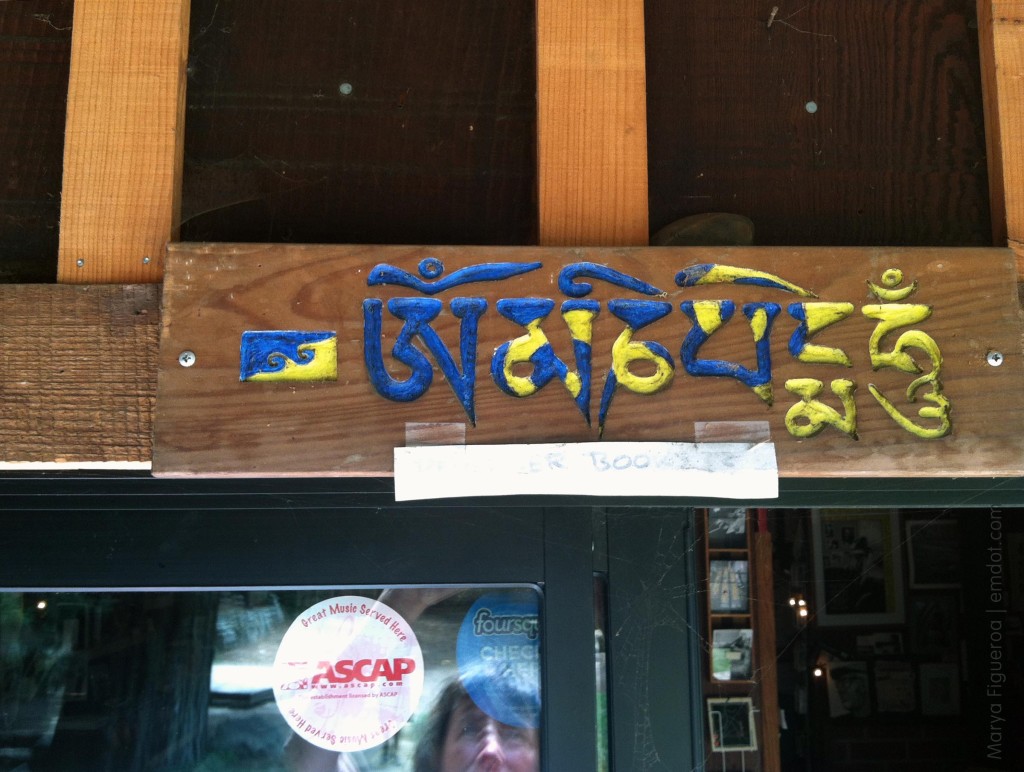
Karmapa dream flag above the entrance to the library

I’d never noticed the Dream Flag before, though it’s probably been there for a long time. I got a little excited. I bought a Dream Flag sticker from Karme Choling when I took my refuge vows and it “flies” proudly from my car’s back window.

drinking coffee on the deck

hanging out with steve

The Hidden Bench That Scared Marya

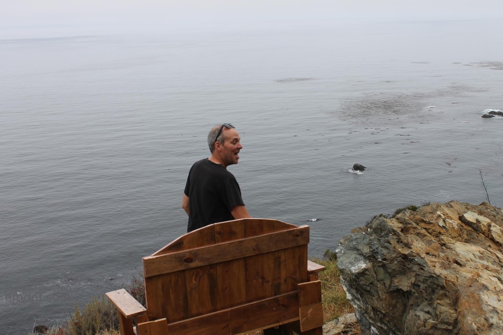
this is the hidden bench

I’m not afraid of heights. I love rooftops. I love edges. Or I thought I did, However, I may be full of it because yesterday we sat on a pretty safe bench that wasn’t necessarily that dangerous and it scared the stuffing out of me.

you can kind of see it's not safe here

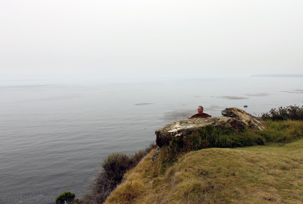
The bench is just 10 steps off the road on Highway One in Big Sur (it’s just to the north of the new bridge being built near Limekiln). I don’t remember what enticed us to stop… the foggy sky plus glassy ocean, I’m guessing. We stopped. Grabbed our cameras. Got out of the car and were quite happy to see this little bench on the cliff side hidden by a couple boulders.

Steve went right to it and as he sat down the bench immediately rocked forward and made a loud creaking sound. “Come join me,” he said. “No way,” I said.

But I did.

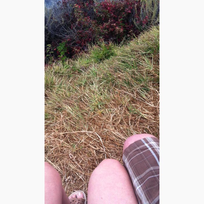
In the next photo you can see the view when looking directly down while sitting on the bench.

this is the way down

Here’s Steve’s short video showing us, the view, and illustrating the loud creak-creak of the bench as it lurches forward while you sit on it.

This is my (lousy) video of the view. I’m shaking in my boots while taking this (regardless of the fact that I’m wearing sandals).

From the secret bench on Highway 1 in Big Sur from emdot on Vimeo.

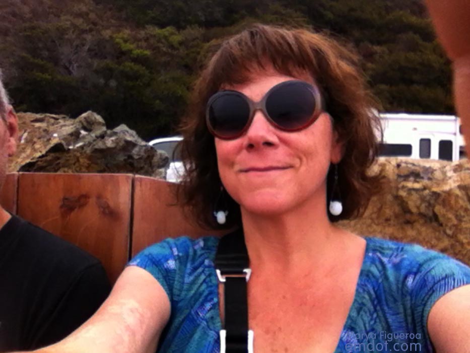
This would be my scared-as-hell-but-trying-to-hide-it face.

this is my scared face

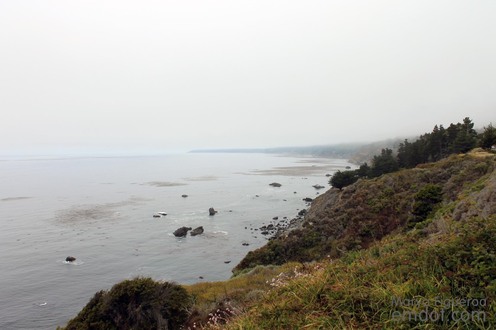
Below: looking to our right, to the north.

Looking right, to the north

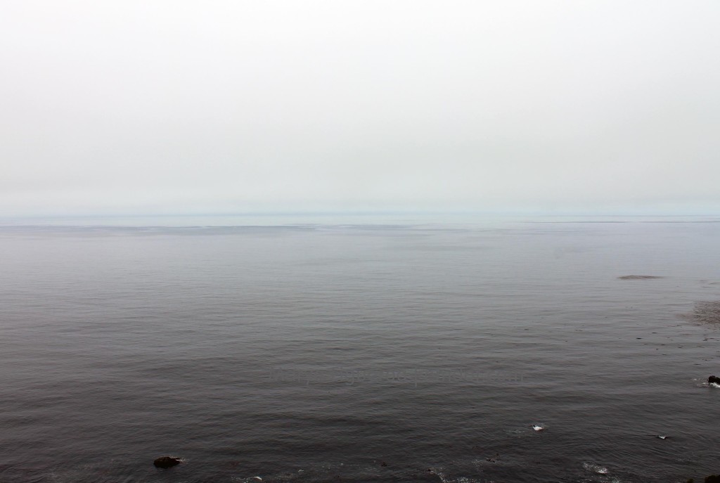
Below: looking straight ahead, to the west.

Looking straight ahead, west

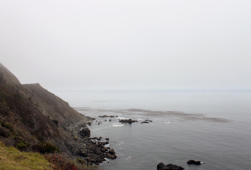
Below: looking left, to the south.

Looking left, to the south