Felsman Loop with Tom

Hillsides, oak tree and cerros
Week 23. August 25, 2013 Felsman Loop.

Much of the Felsman loop is in the shade of oak tree groves
Tom and Cami moved away. Two of our favorite people; we were so sad to say goodbye. Luckily I got to go for a last hike with Tom before he left. We hiked the Felsman Loop, a spin off trail from Bishop Peak.

another view of bishops
We are in the dog days of summer and all hills are brown, tan, golden, and more brown. Things feel dusty with a sense of brittleness.

cerros
Felsman doesn’t have the same vertical climb as Bishops but it is still a great hike with sweeping vistas of San Luis Obispo.

me and tom

path around

tree is the scrub

little path

me and tom

road

Peak a Week #23


Sand Spit Saturday

sand spit view of Morro Rock
Week 24. August 17th.

steve on the beach
The Sand Spit runs four miles or so from Montana de Oro to the Morro Bay Harbor Mouth. Steve and I walked its length and back on a day that danced from socked-in wet fog to bright blue skies.

birds
Due to a plethora of washed up rock crab, sand crabs, and near-shore sea creatures, there were a ton of birds. Of course gulls, but also Caspian terns, long-billed curlews and cormorants. And whimbrels, willets, plovers, and pelicans.

sandspit_081713_1birds
If you walk this on a sunny day you see Morro Rock looming ahead, getting closer and closer. On our foggy day, we were so socked in we had nothing in front of us except a wide expanse of gray. Gray for days. We had no idea how far we had walked or close we were getting to the Rock.

This is not a complaint.

When we finally caught a glimpse of the Rock, it was pretty exciting.

low glimpse of the rock
And then, just like that: the fog lifted. And I found a pelican feather.

me with my pelican feather

the rock

the stacks

looking out to sea

tern

sand dollar

beach24


Whales, Rain Rocks and a Broken Arm

Pitkins Curve and Rain Rocks and the Big Sur coastline
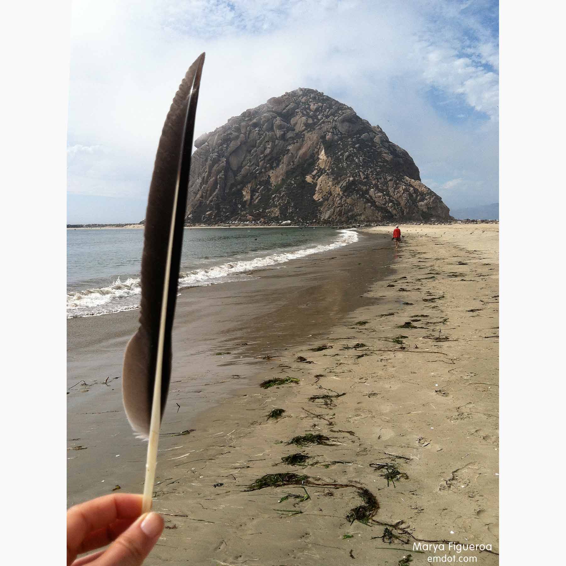
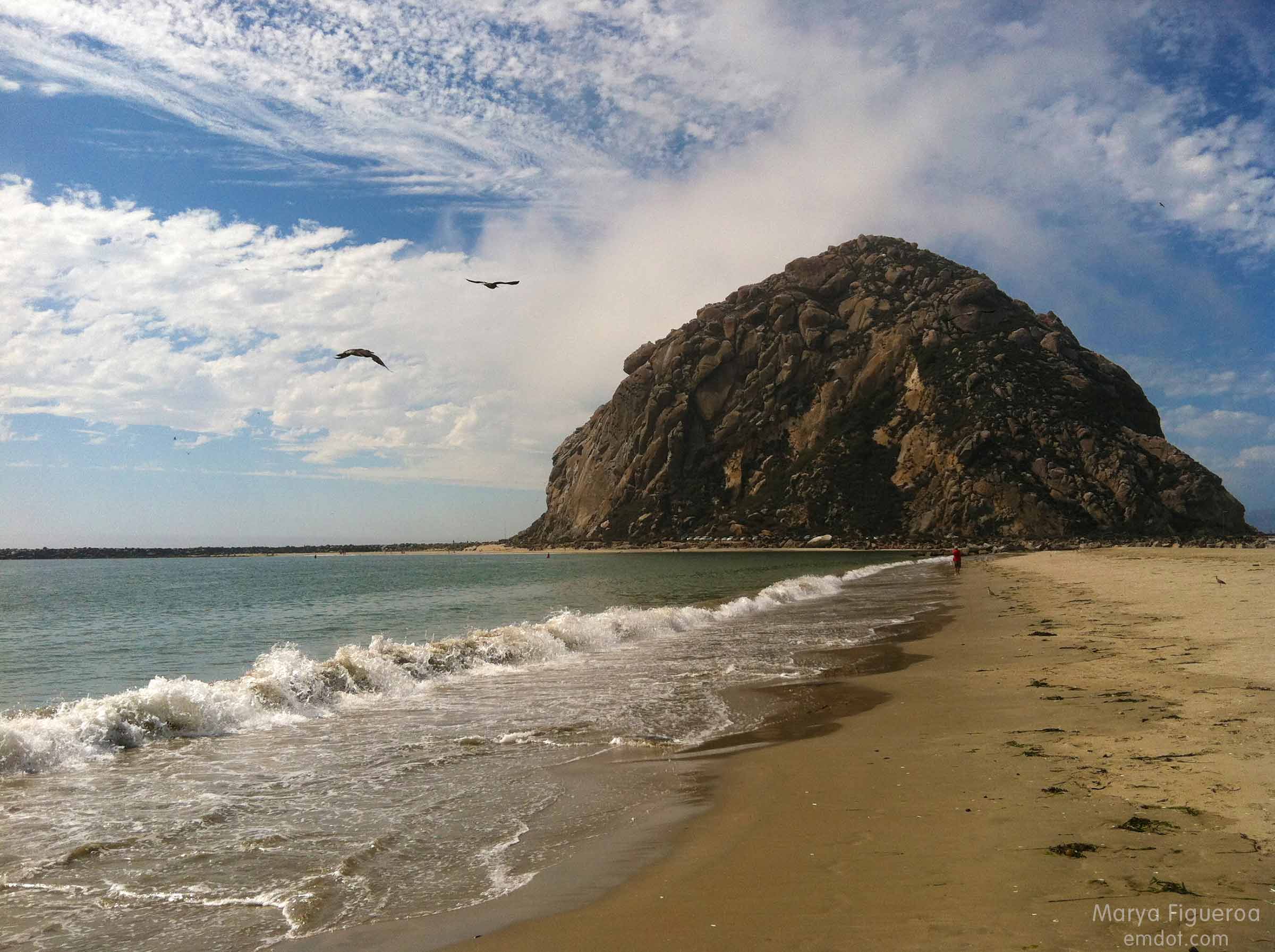
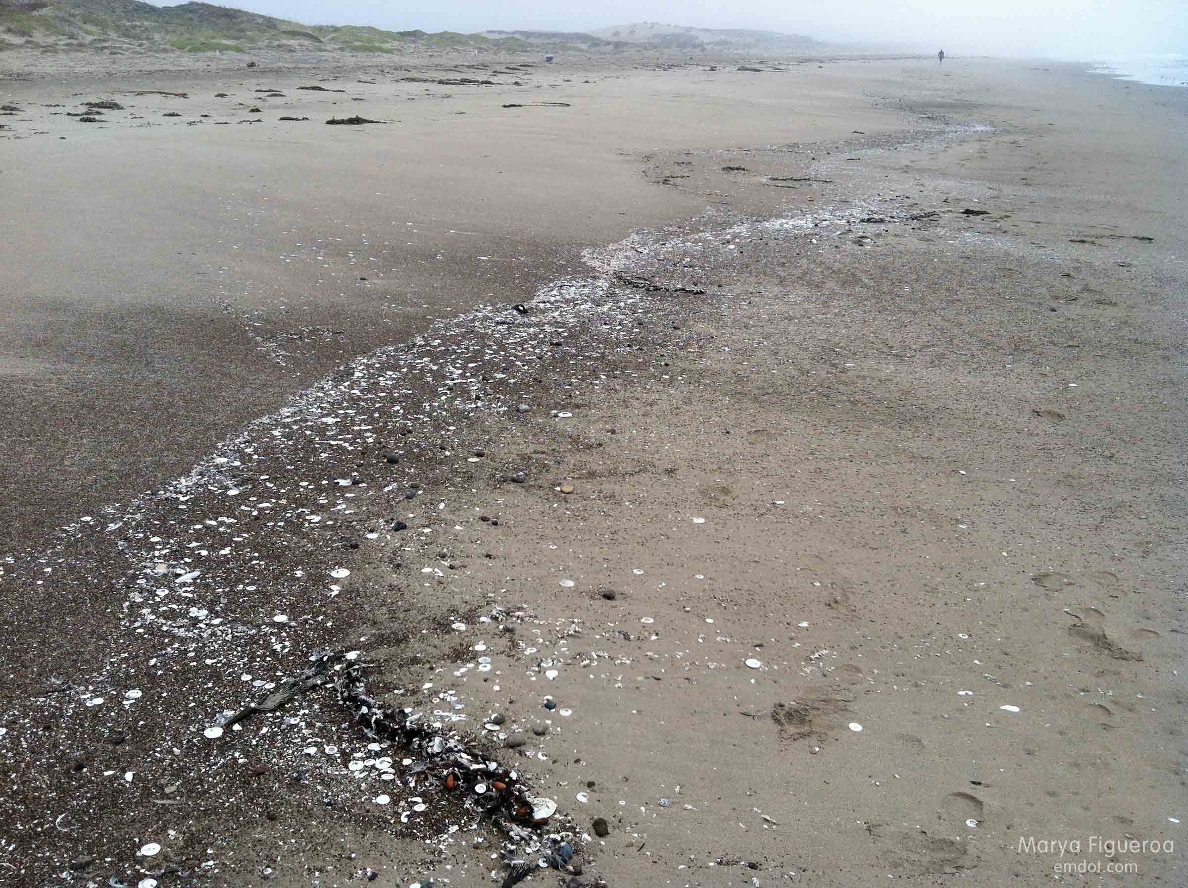
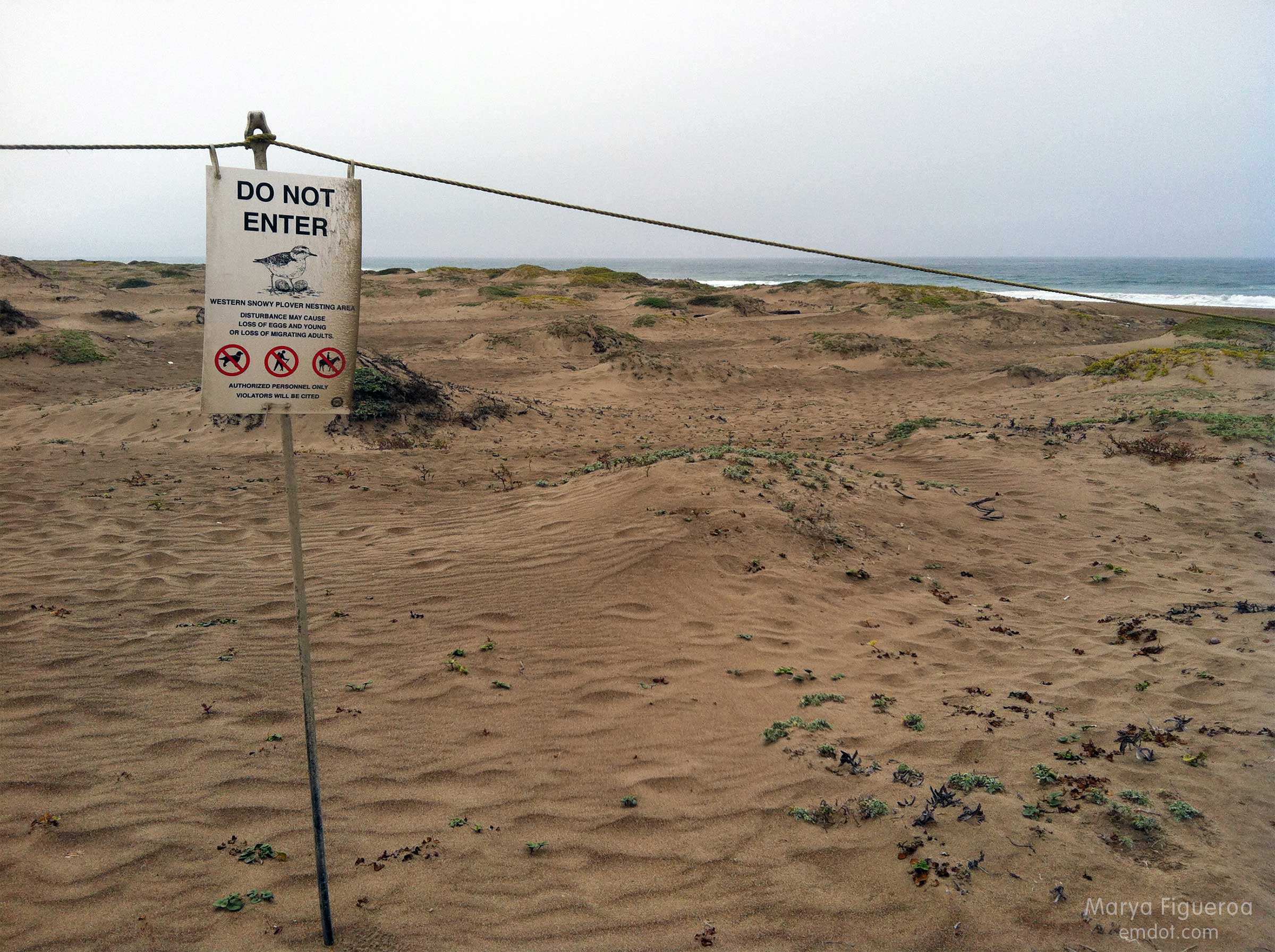
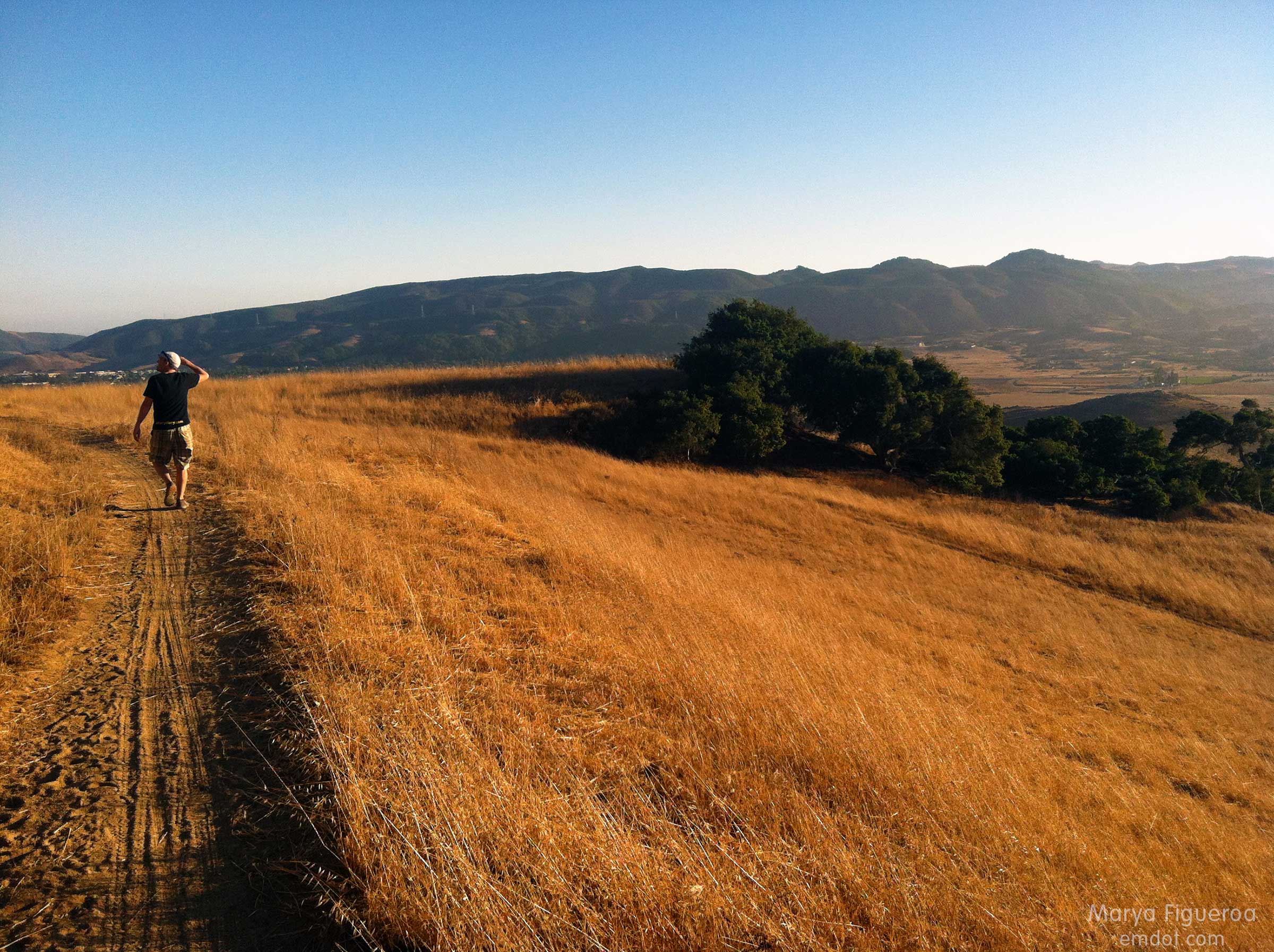
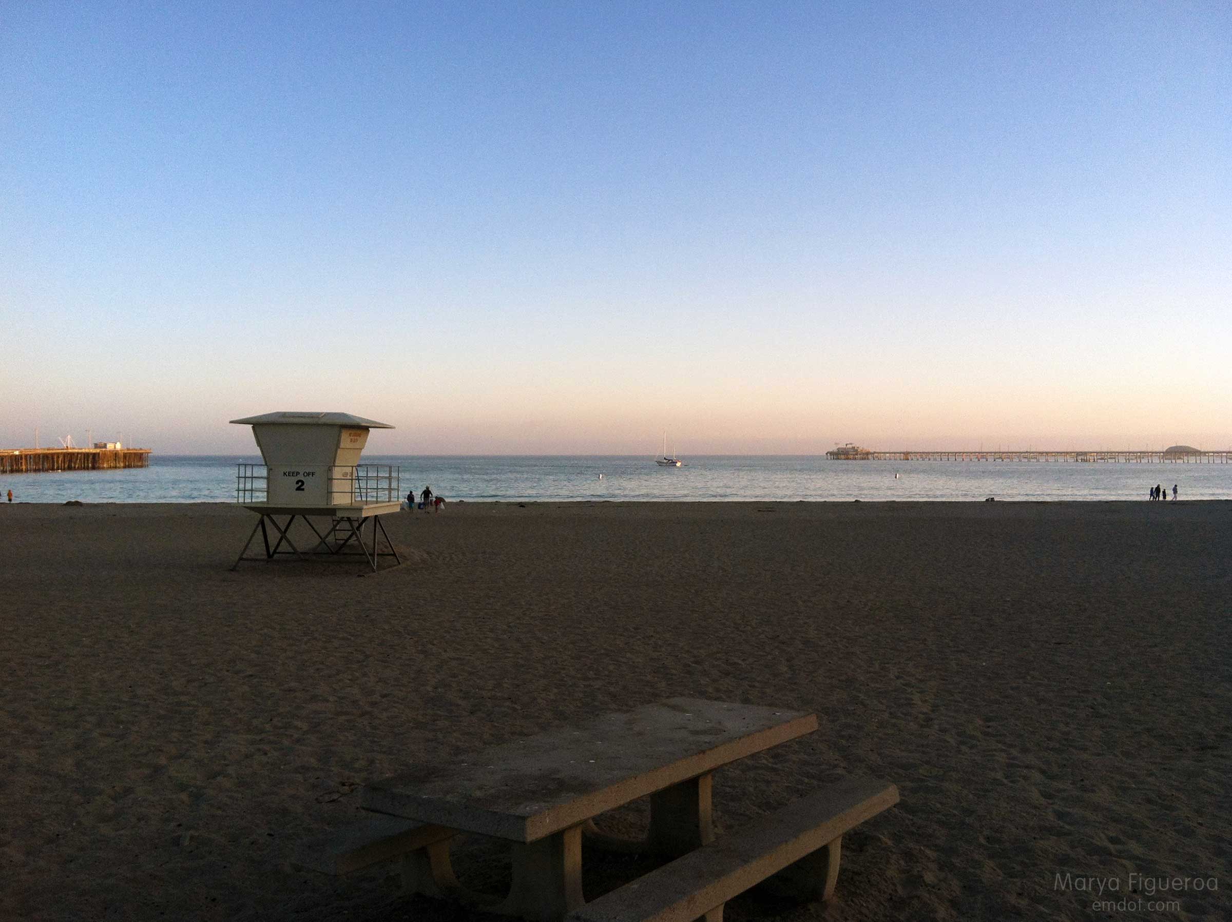
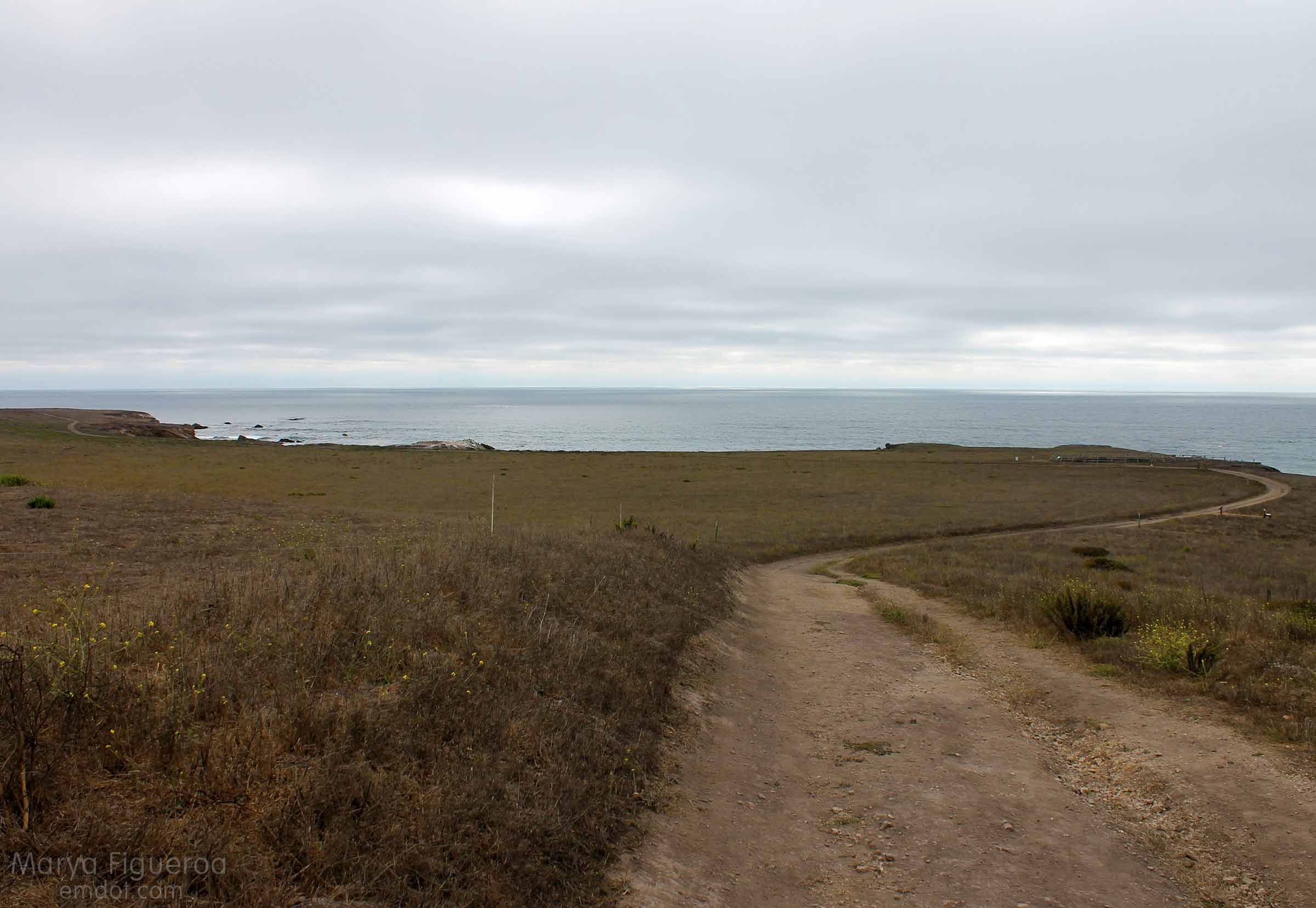
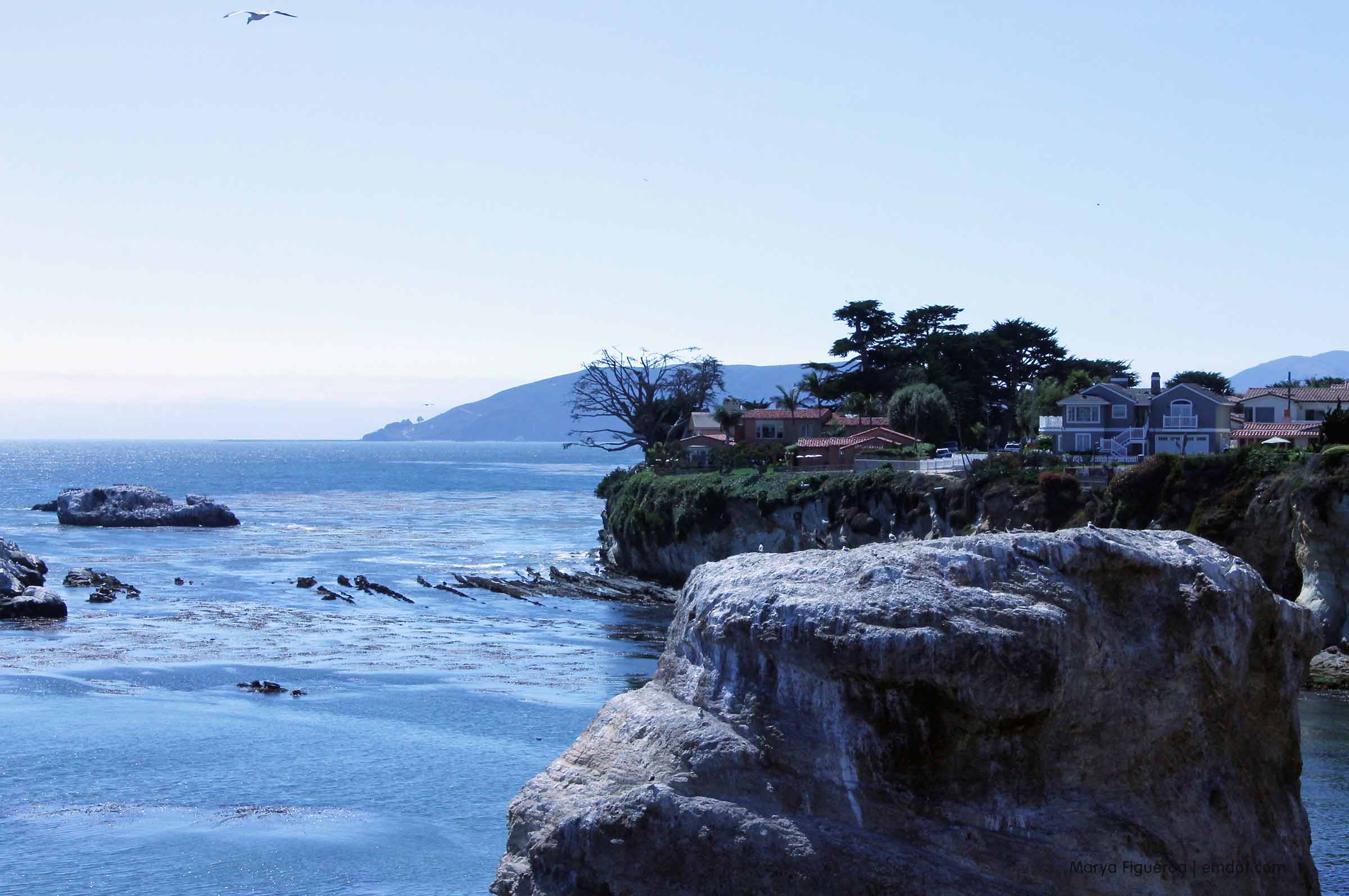
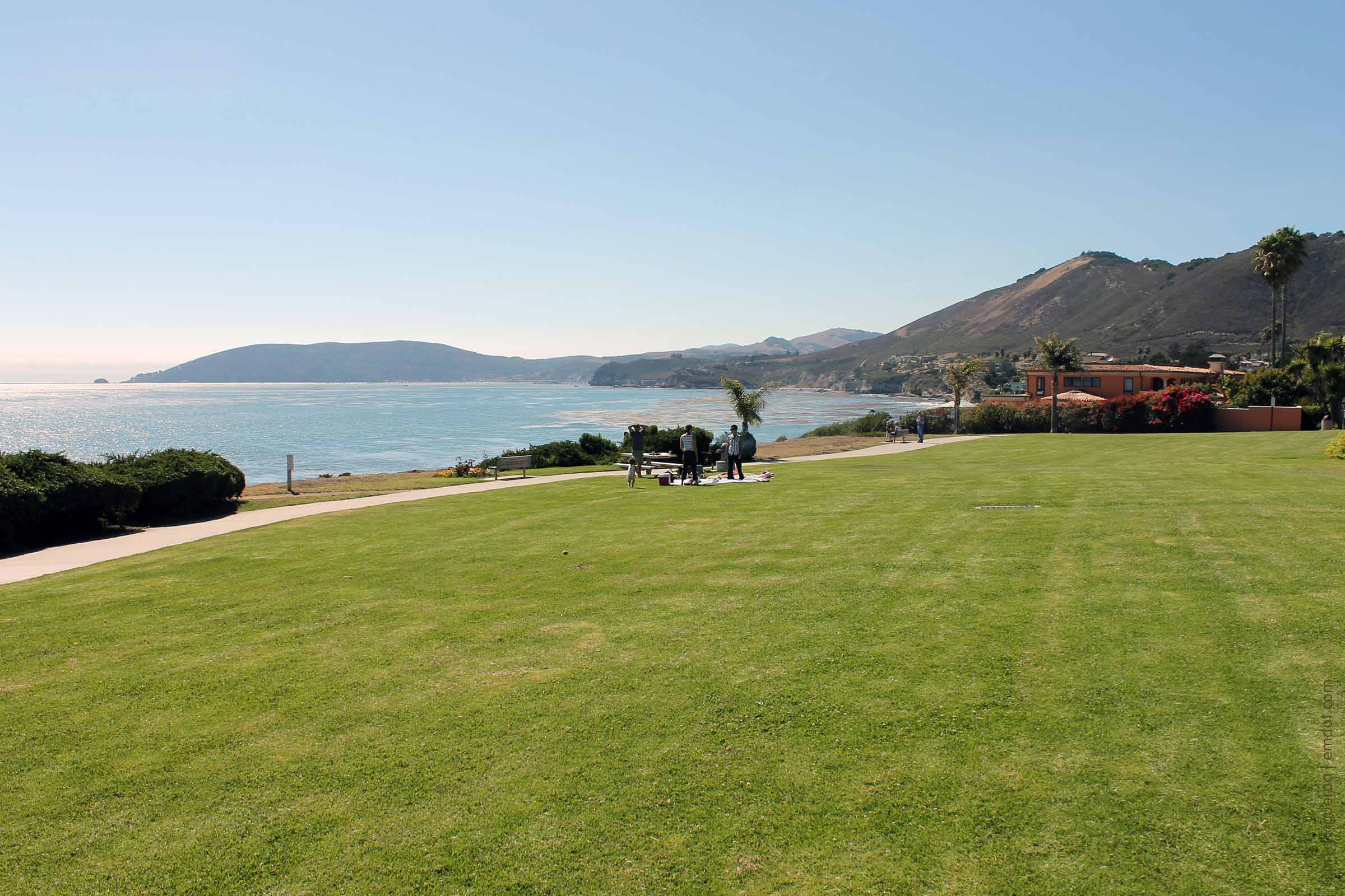
I want to preface this post by saying that the stretch of Highway 1 through Big Sur is known as The Scenic Crawl. On these 100 or so odd miles of twists, turns, and cliff-to-sea vistas you will find tens, maybe even a hundred, turn outs where you can pull over to let faster cars pass or get out, stretch your legs, and take in the views.

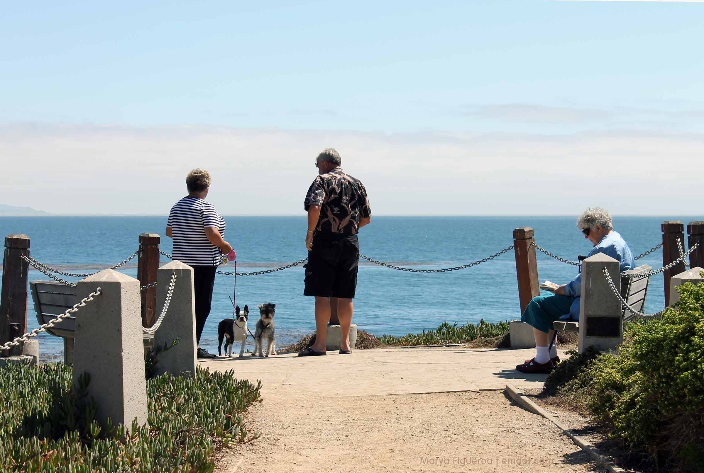
Hundreds of people do this every day. Often you see them standing on top of berms in order to get a better look. This is so common that it becomes a part of the Big Sur experience, both seeing it and doing it.

people on berms looking out to sea
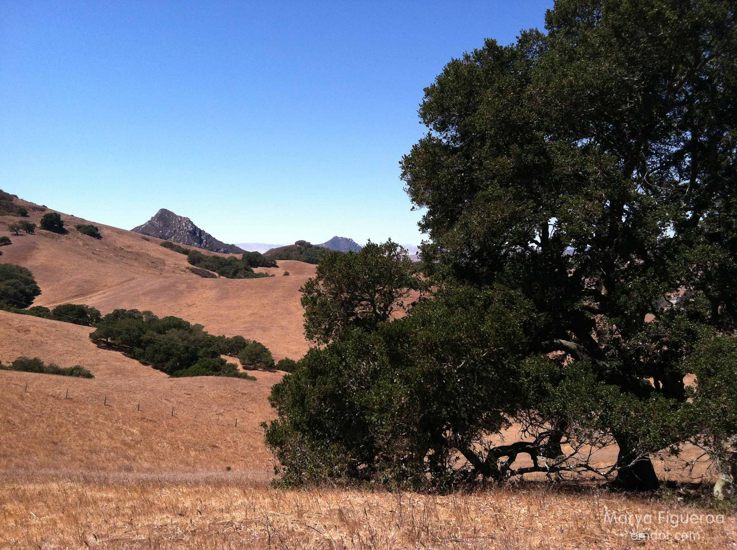
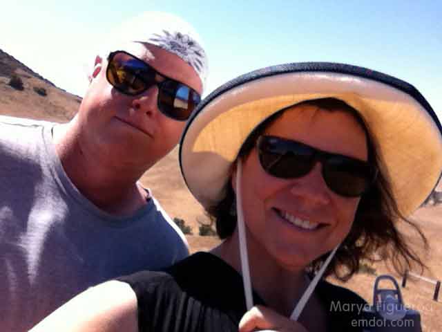
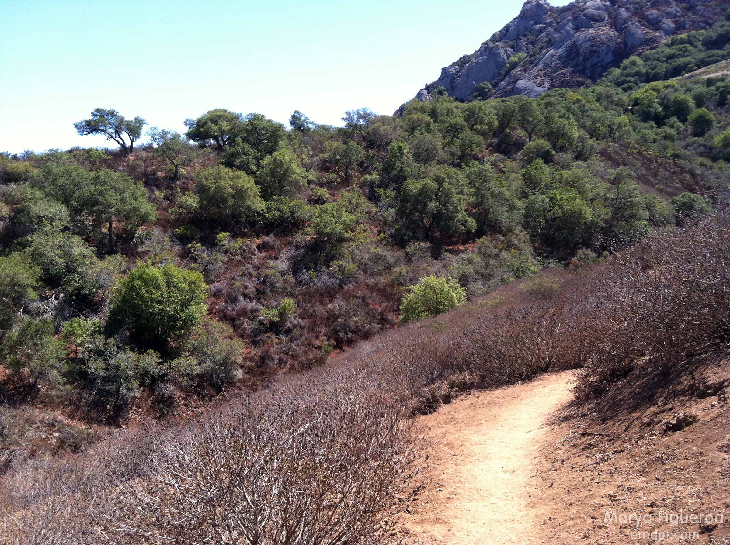
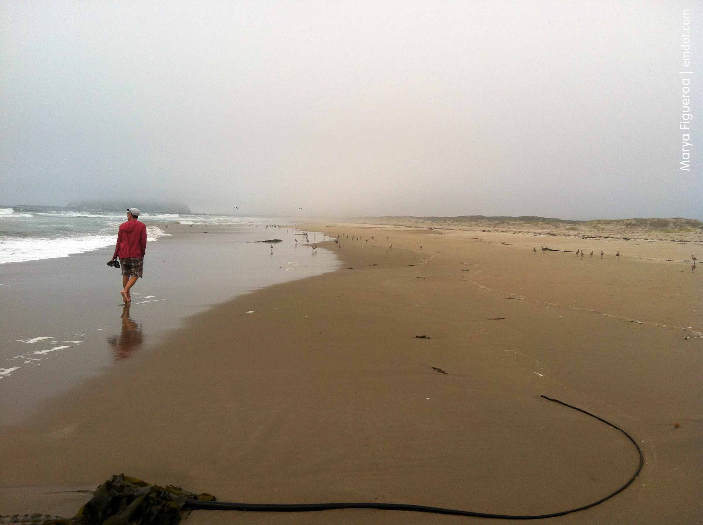
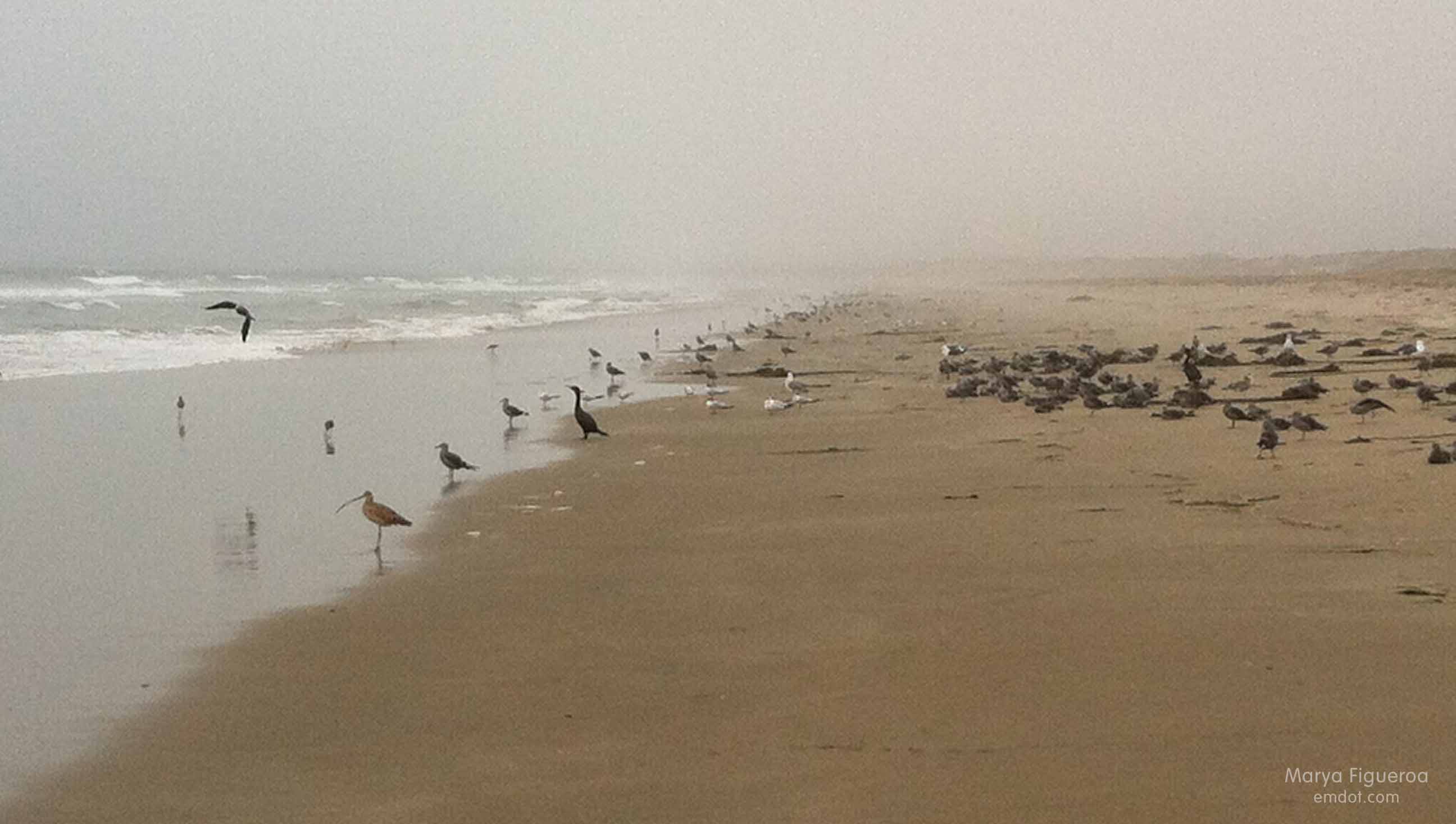
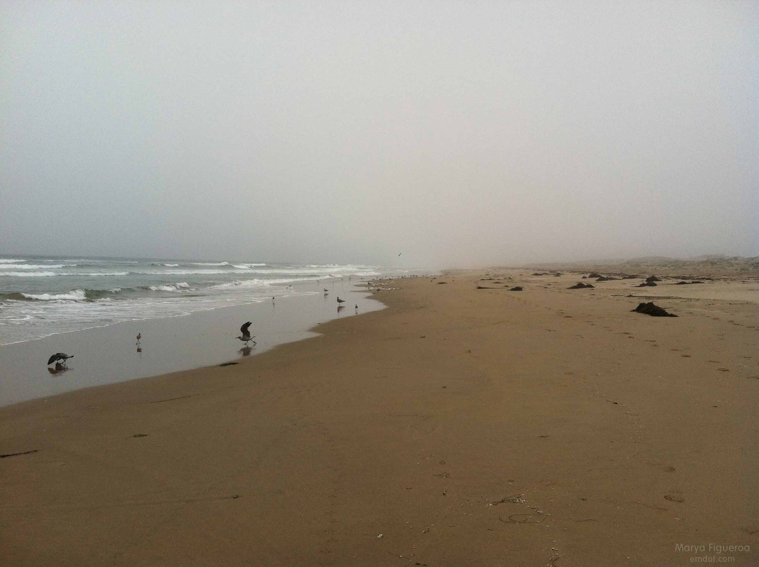
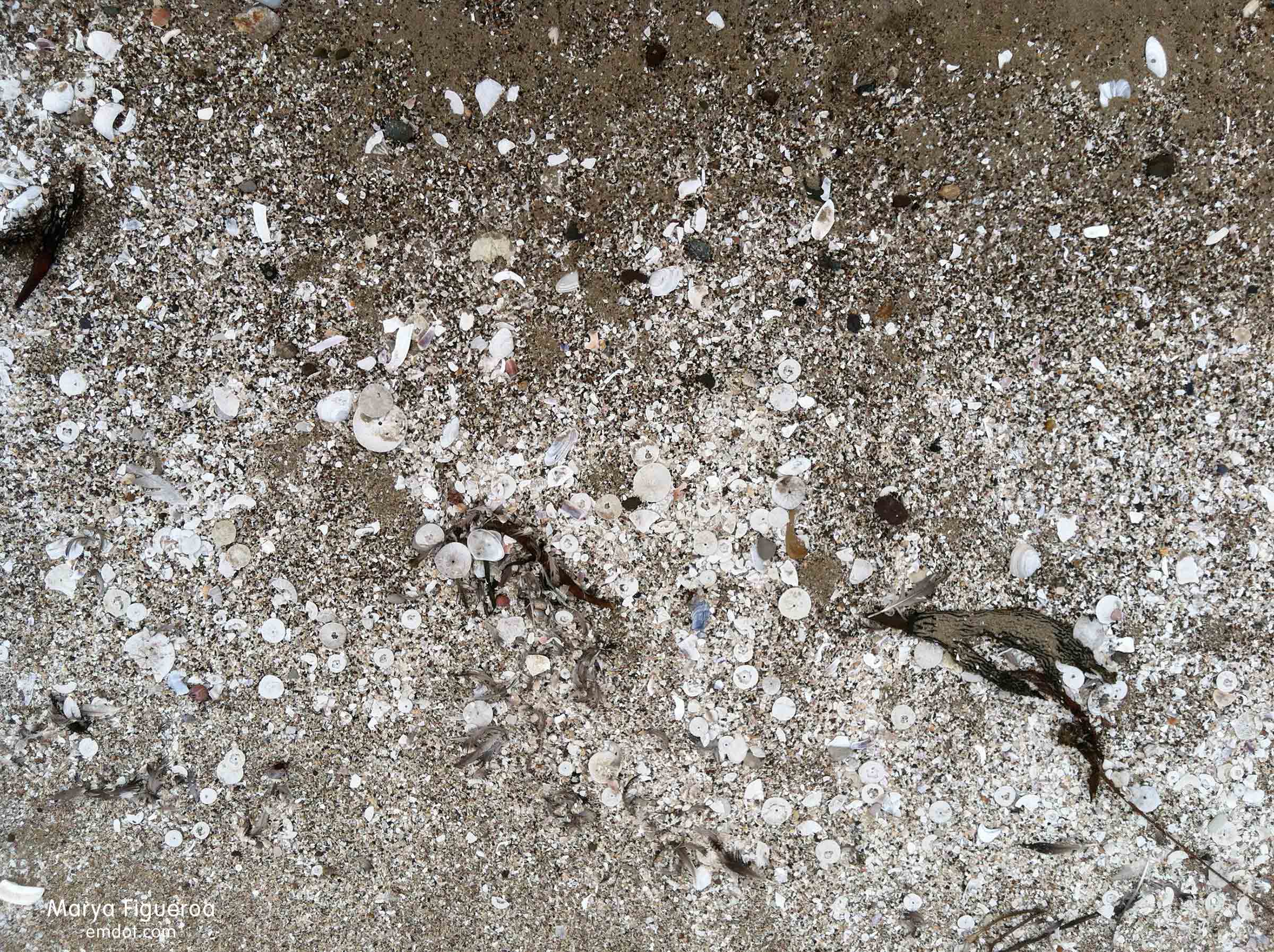
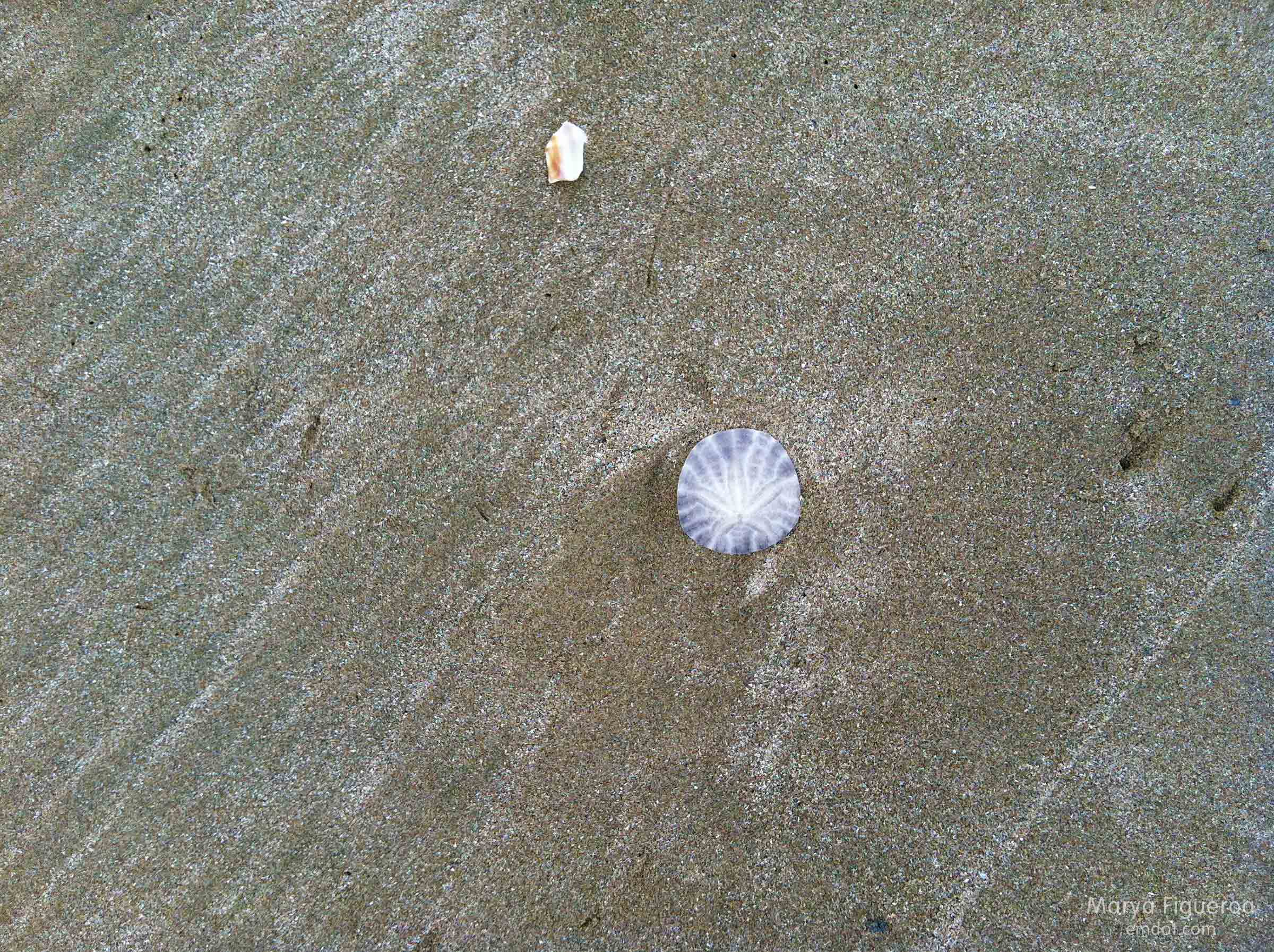
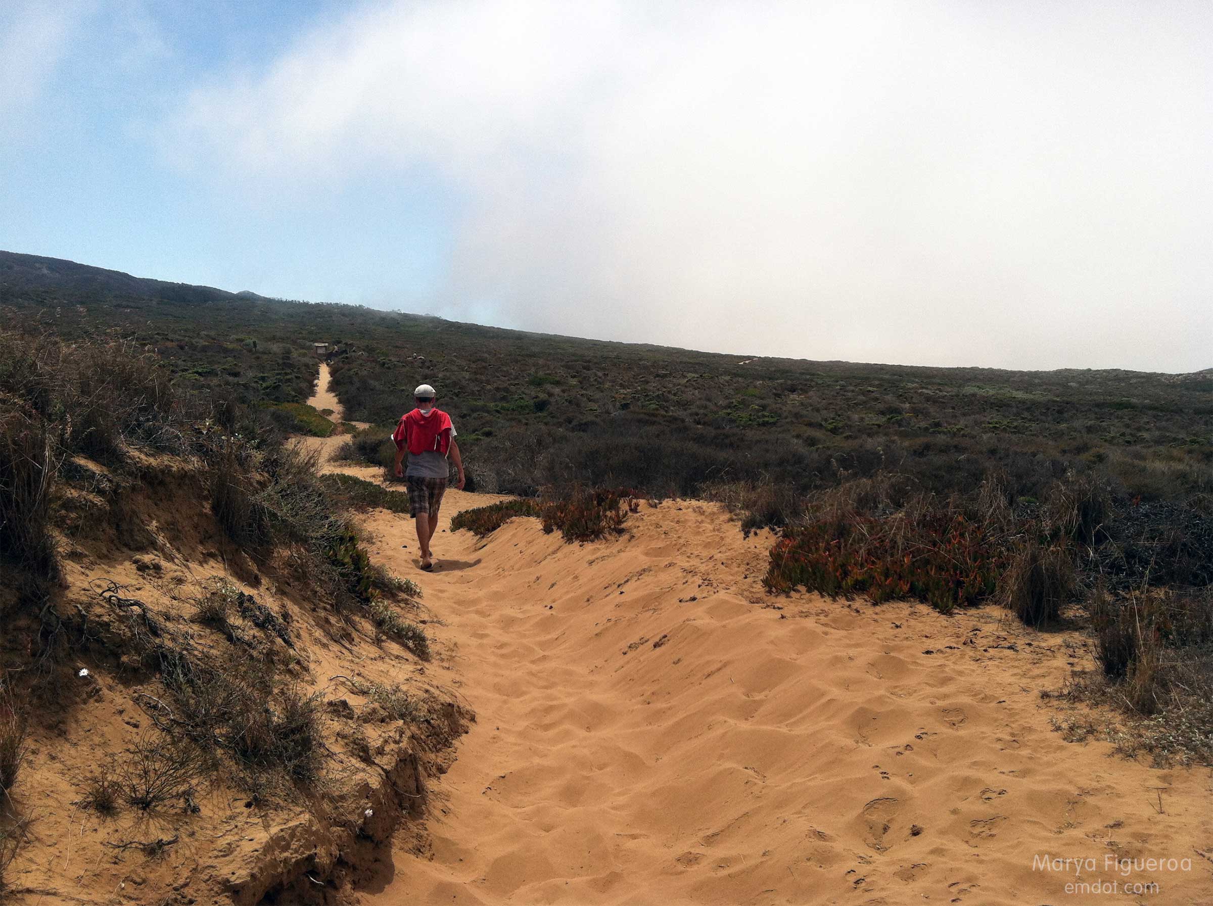
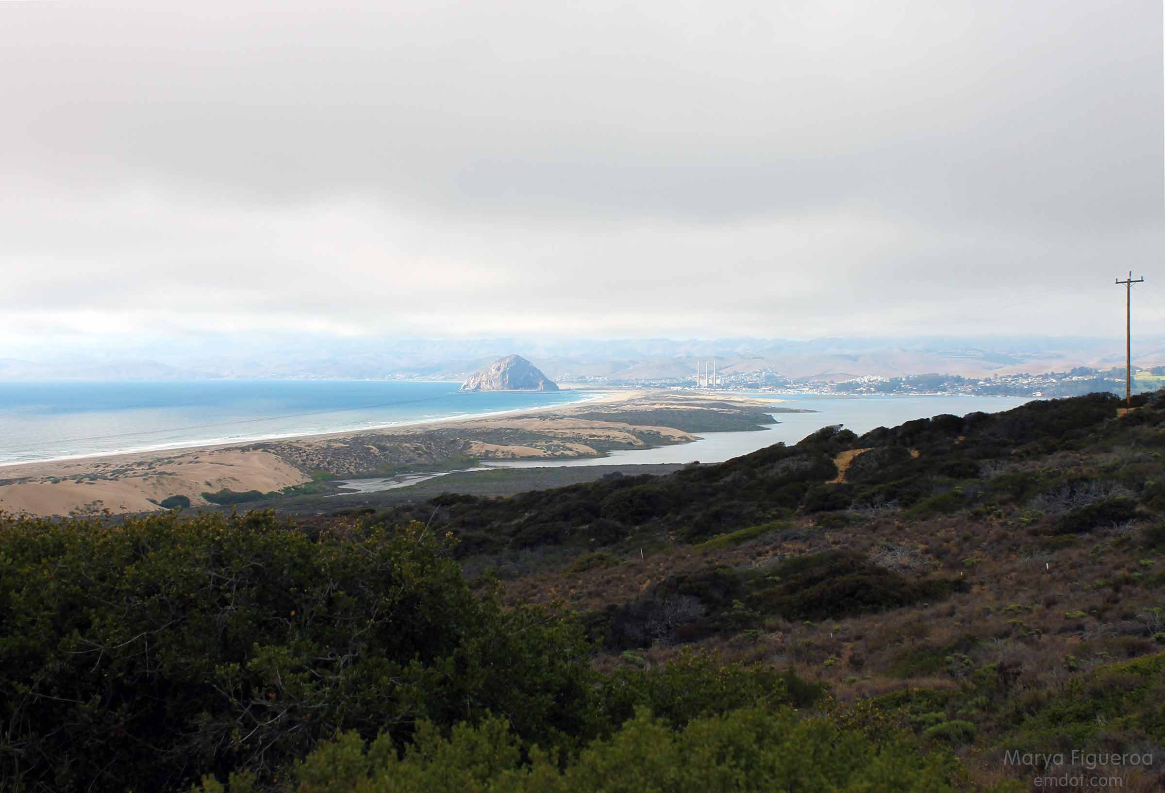
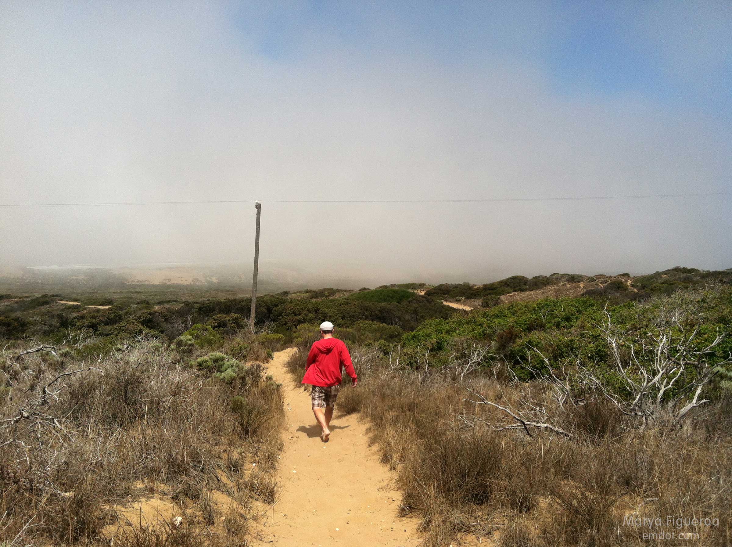
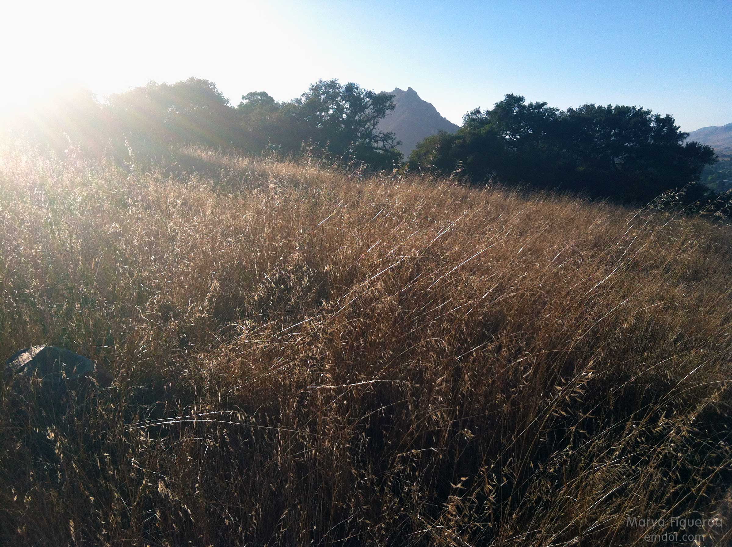
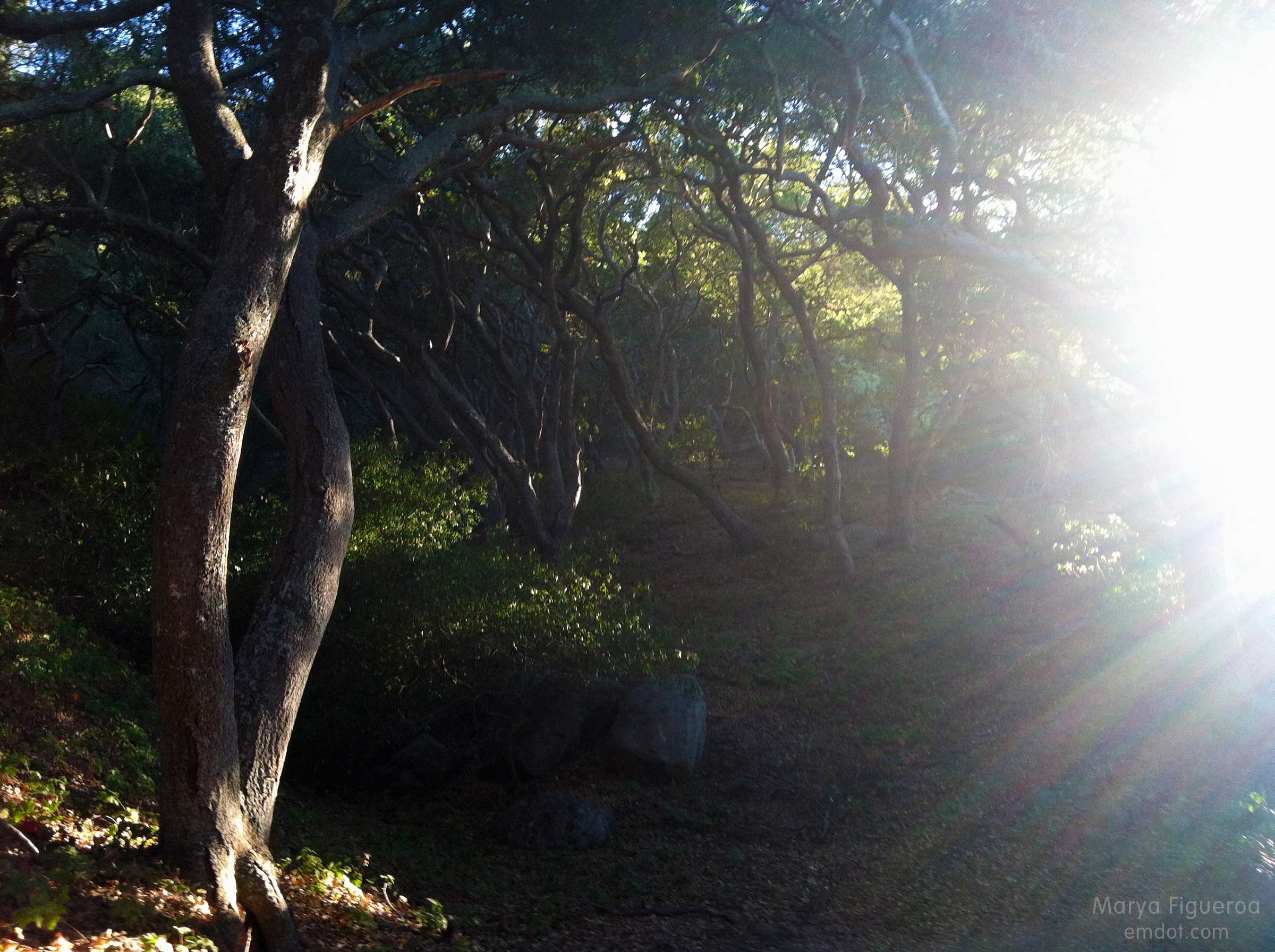
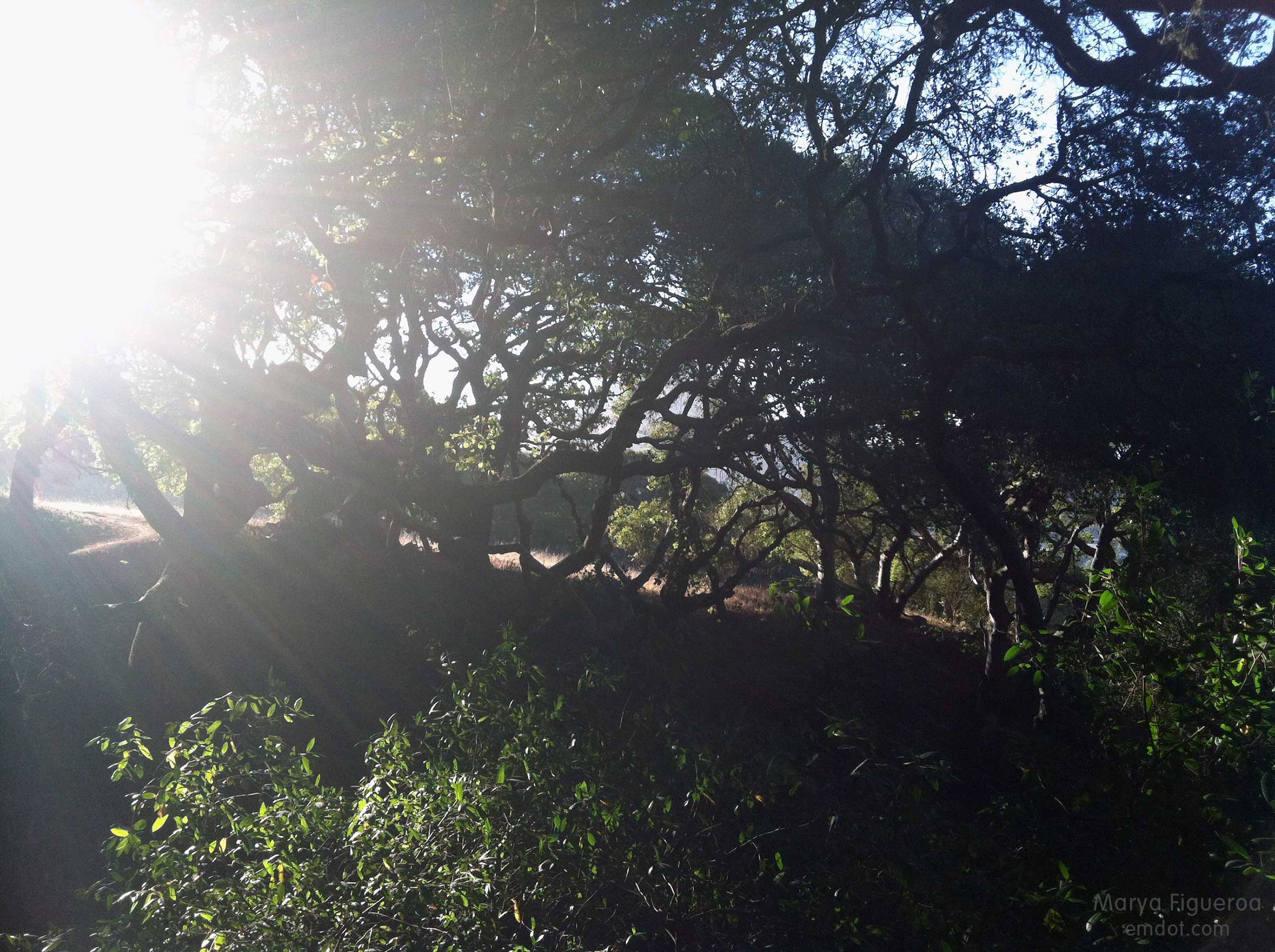
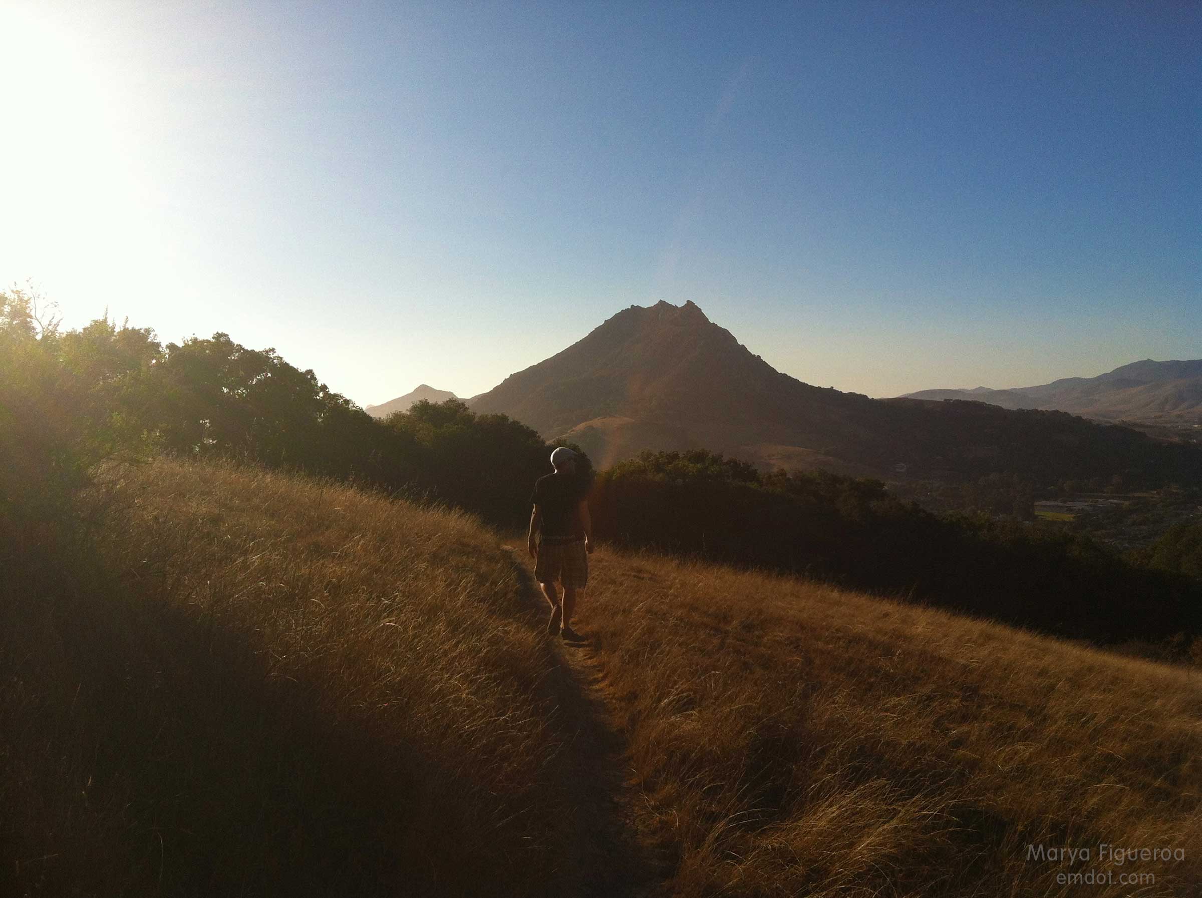
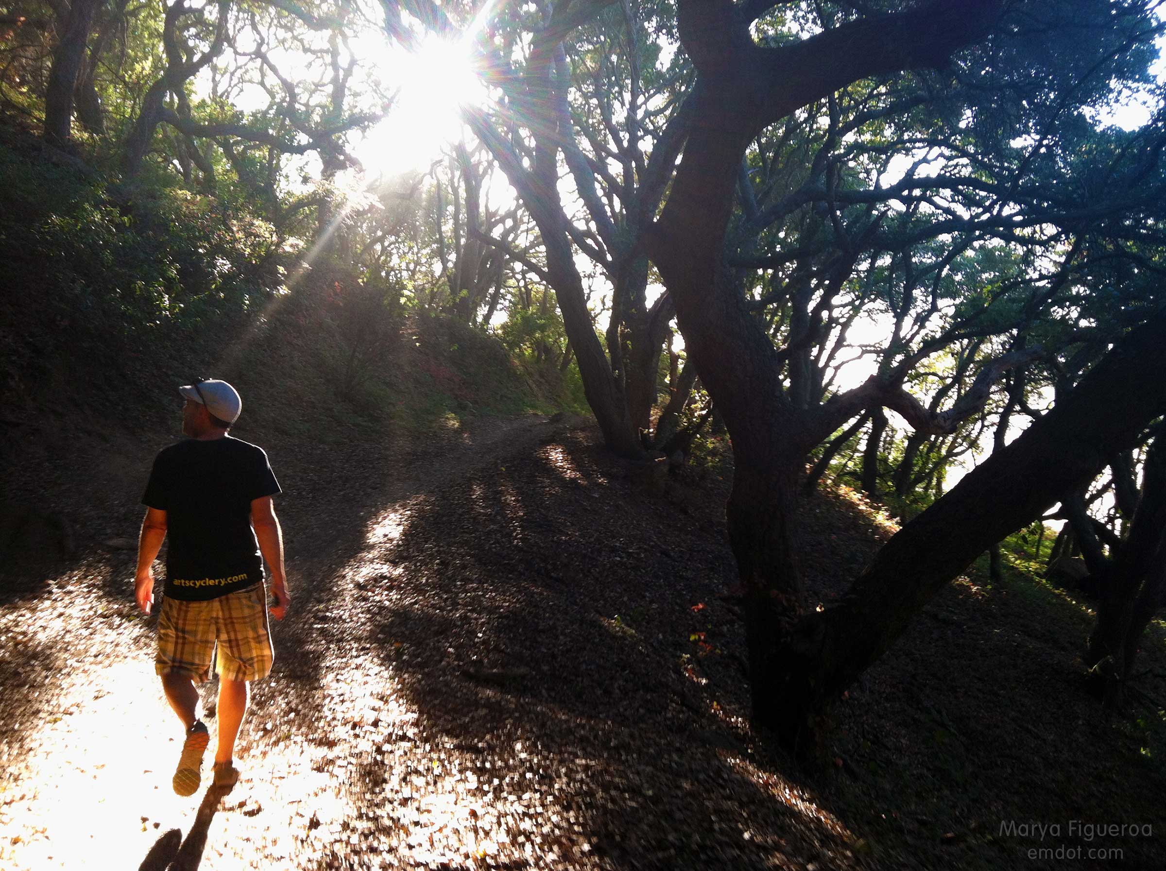
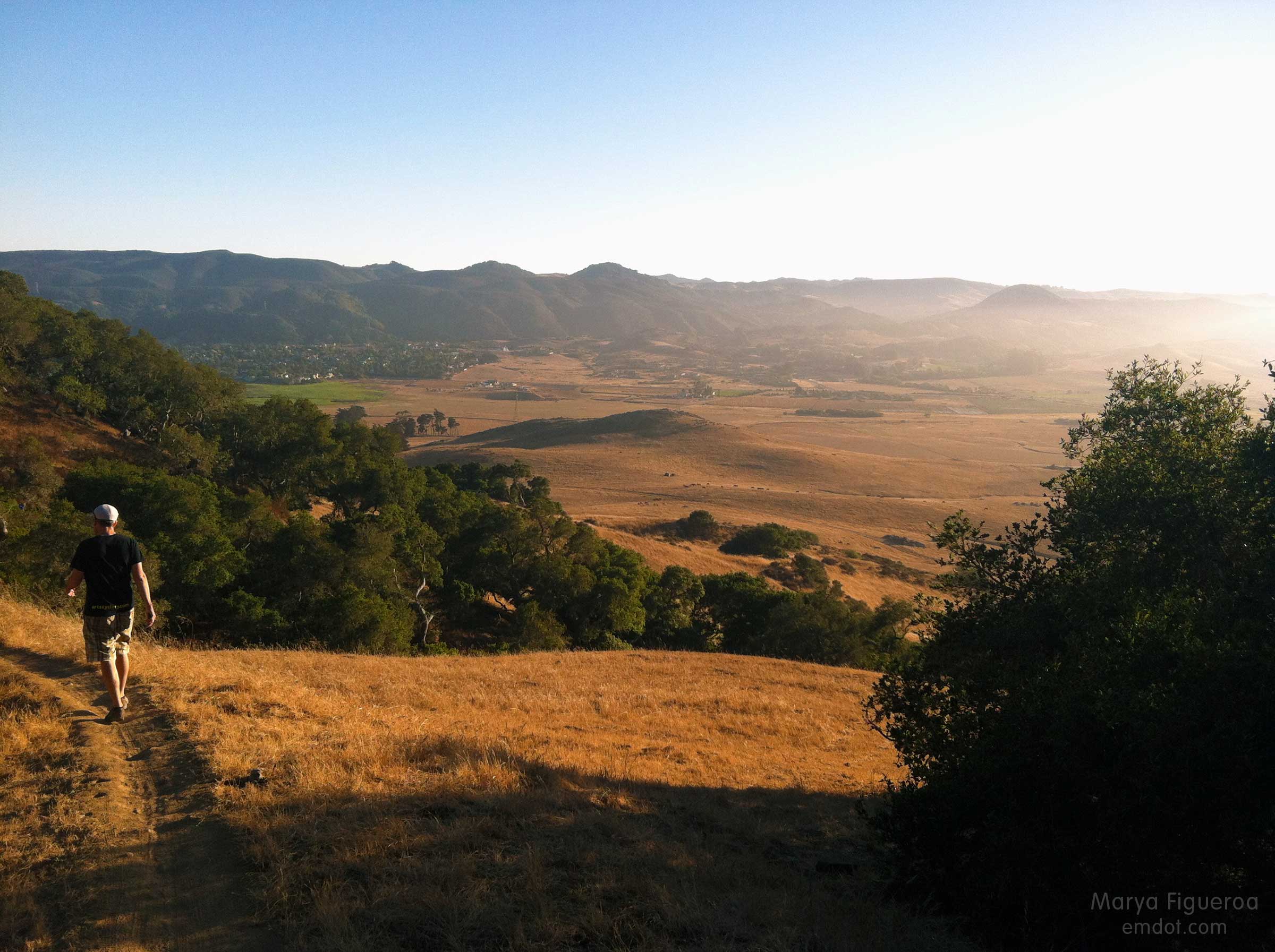
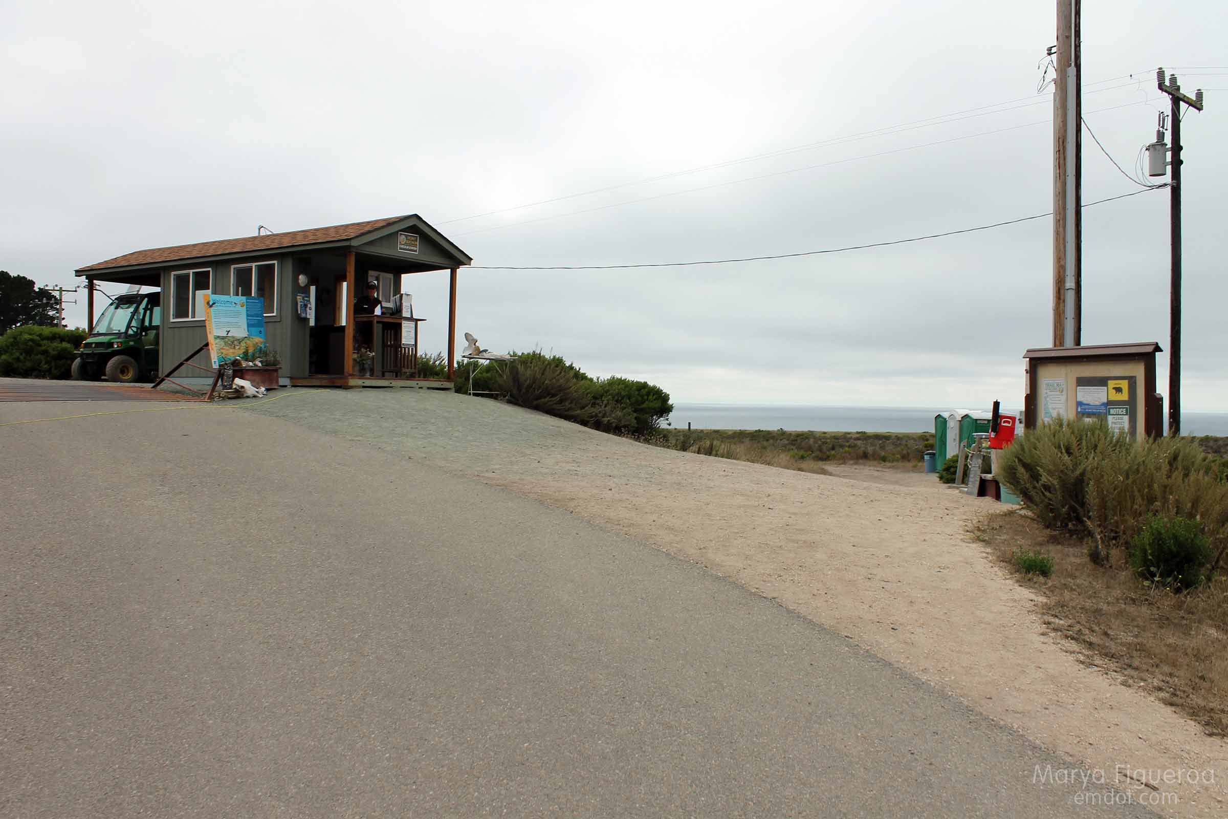
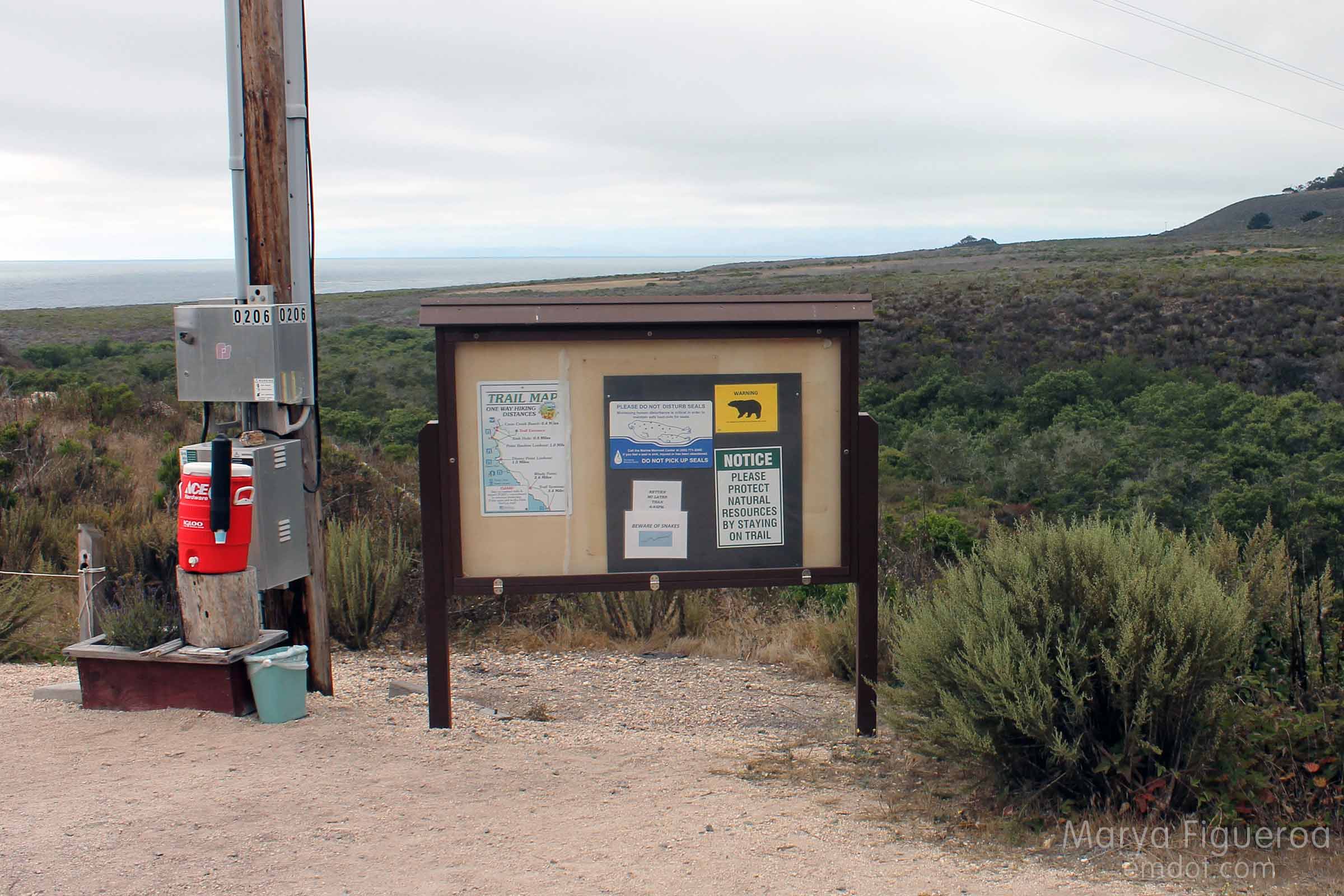
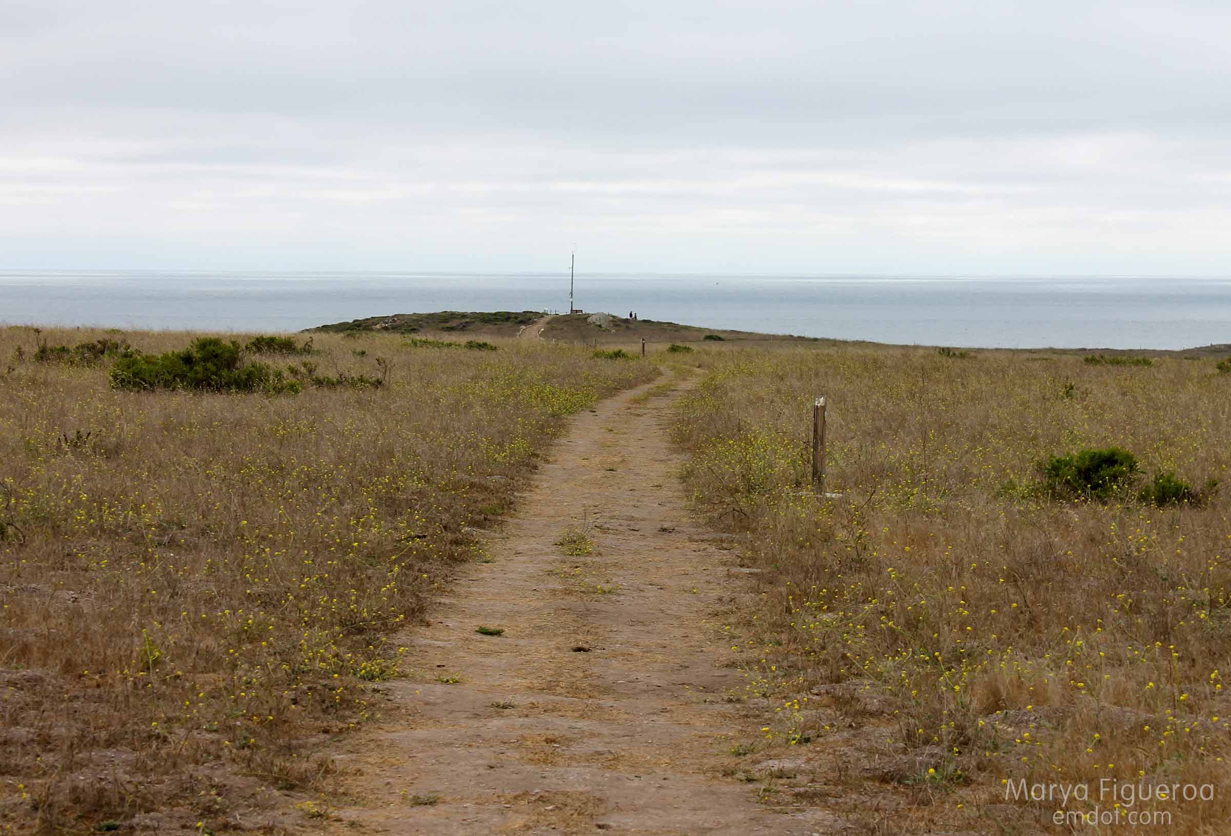
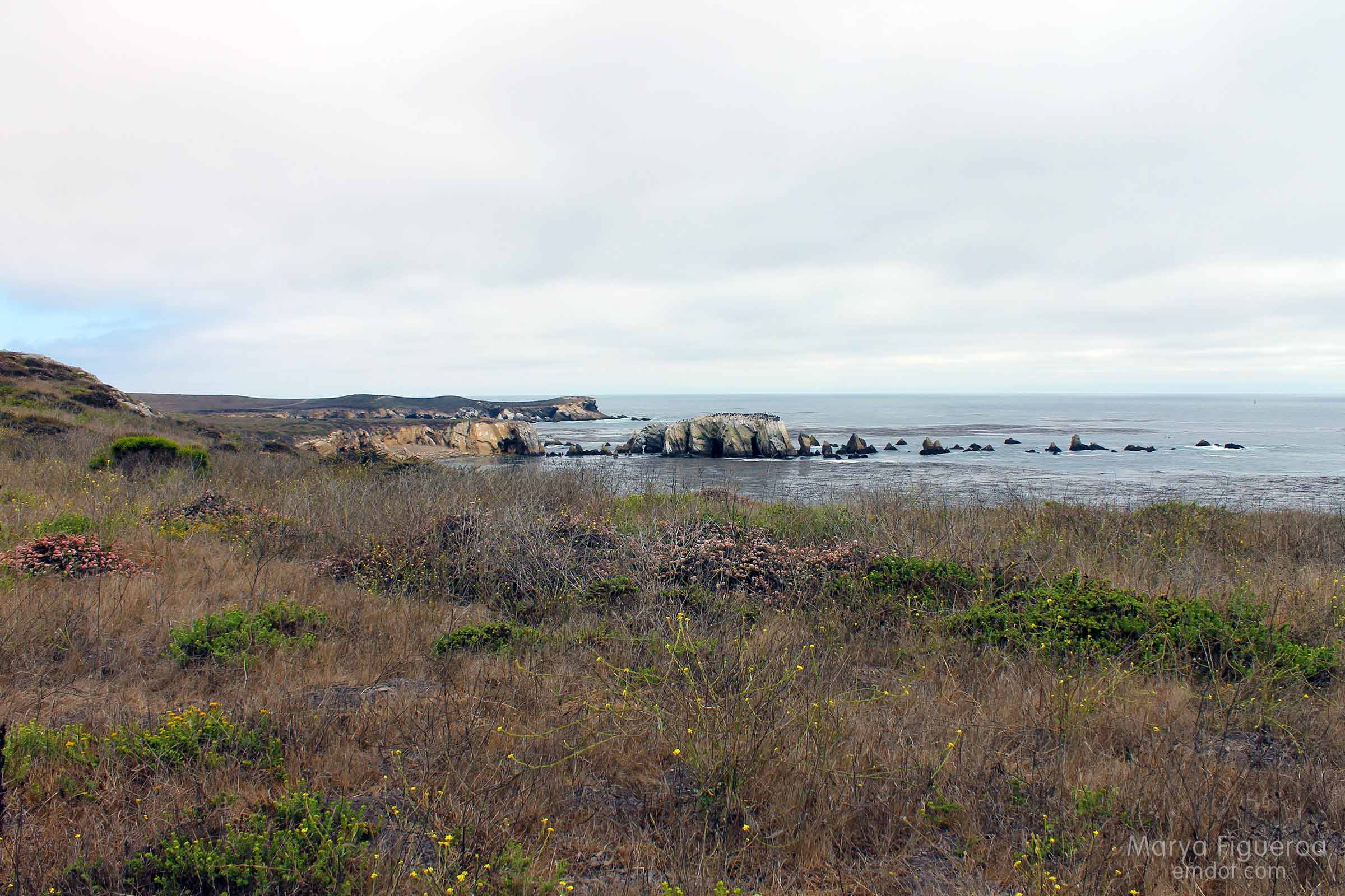
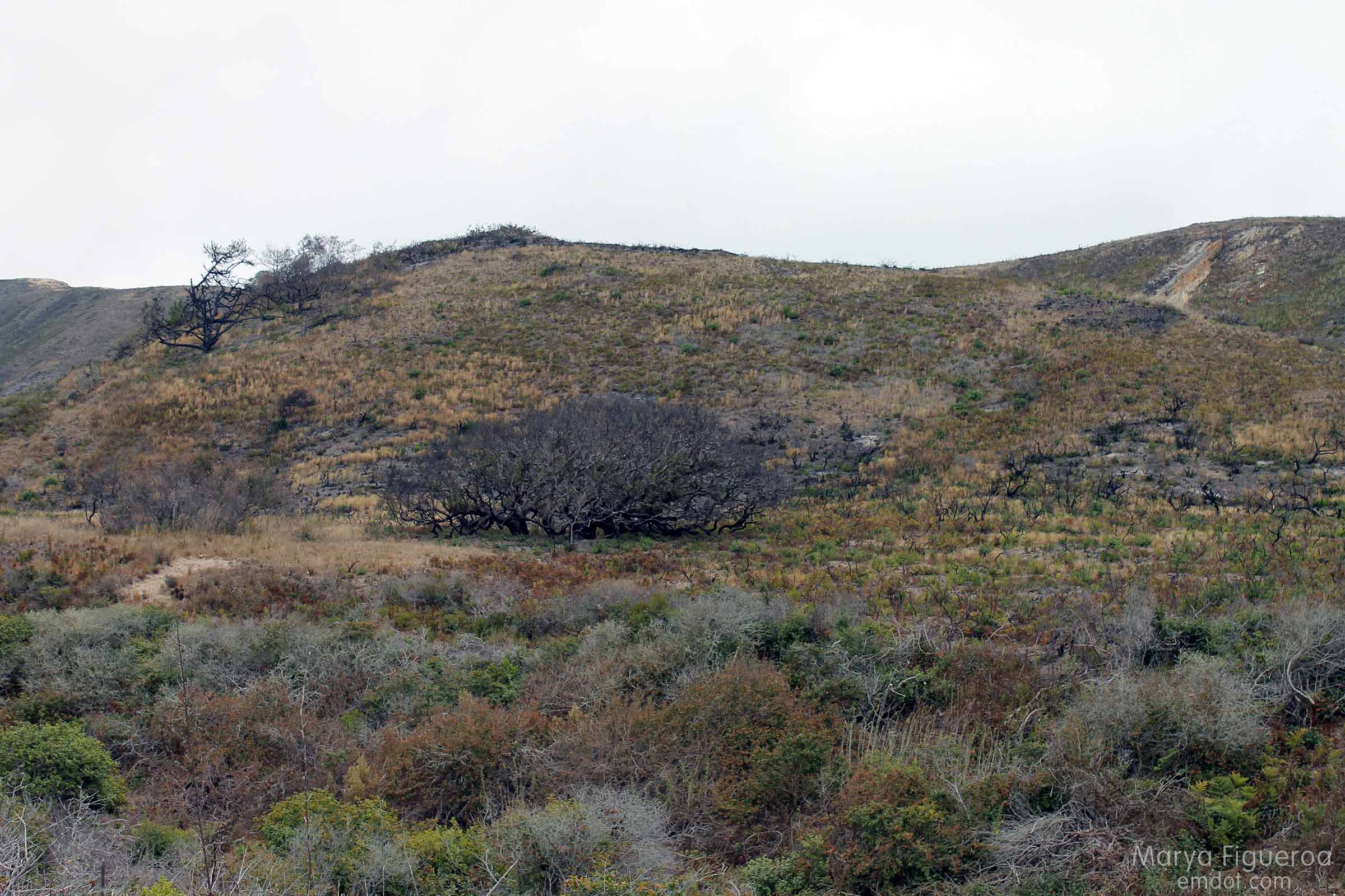
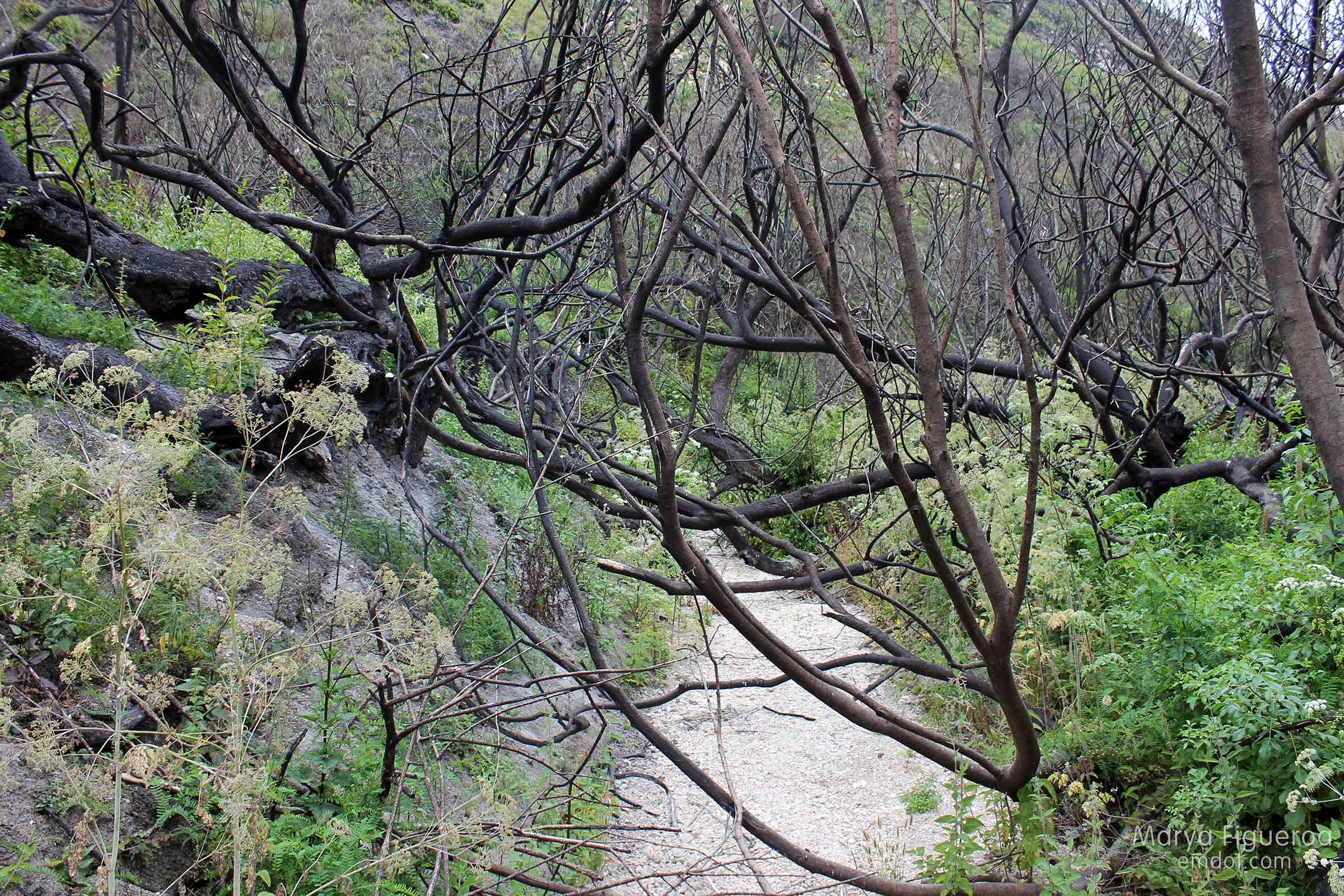
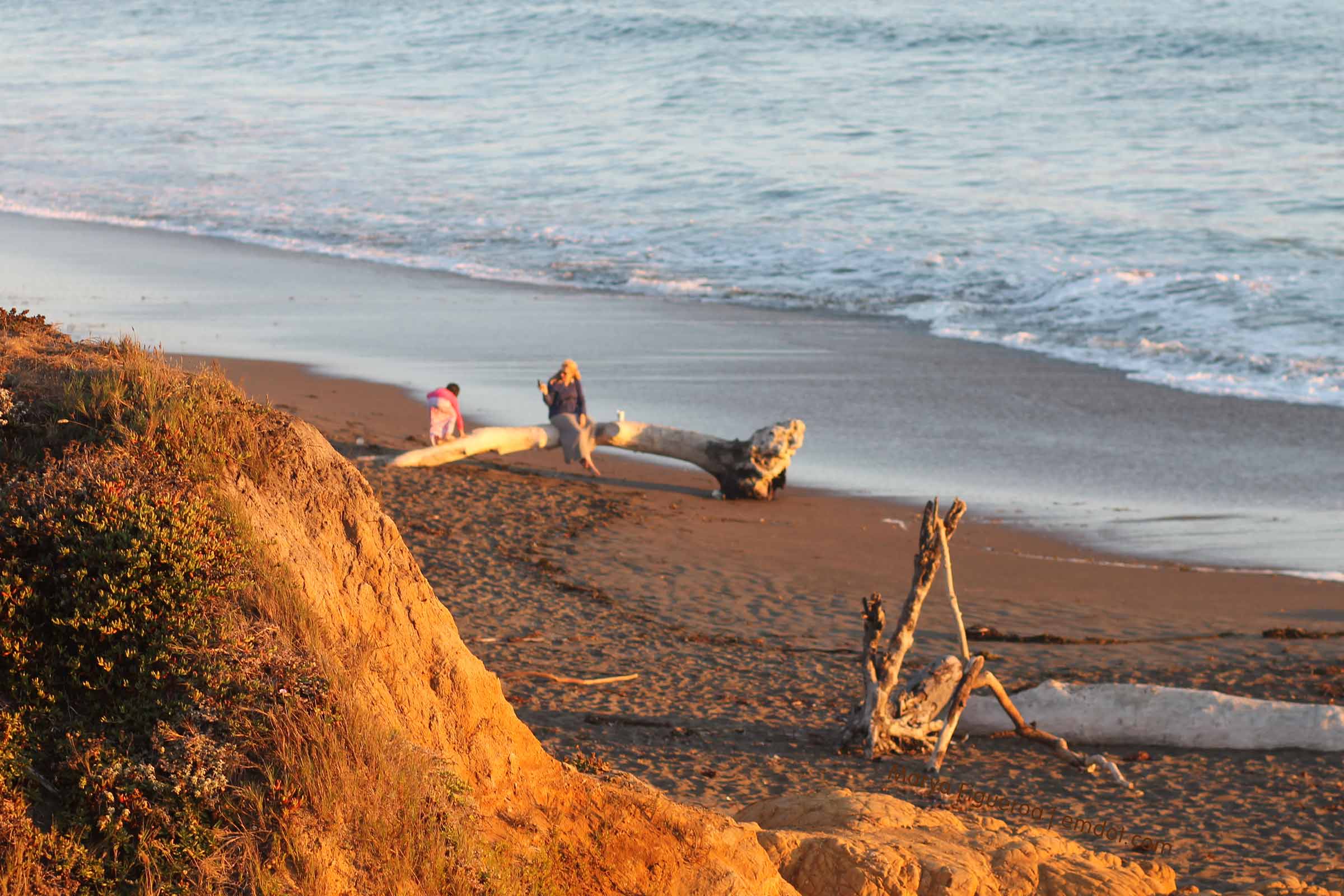
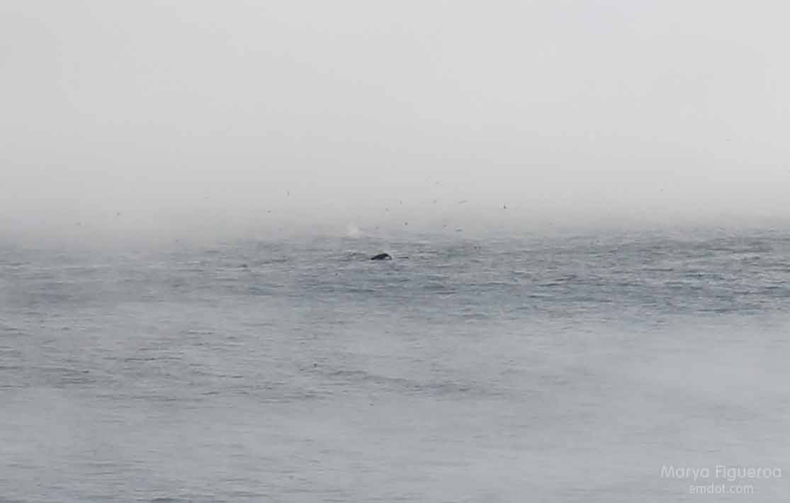
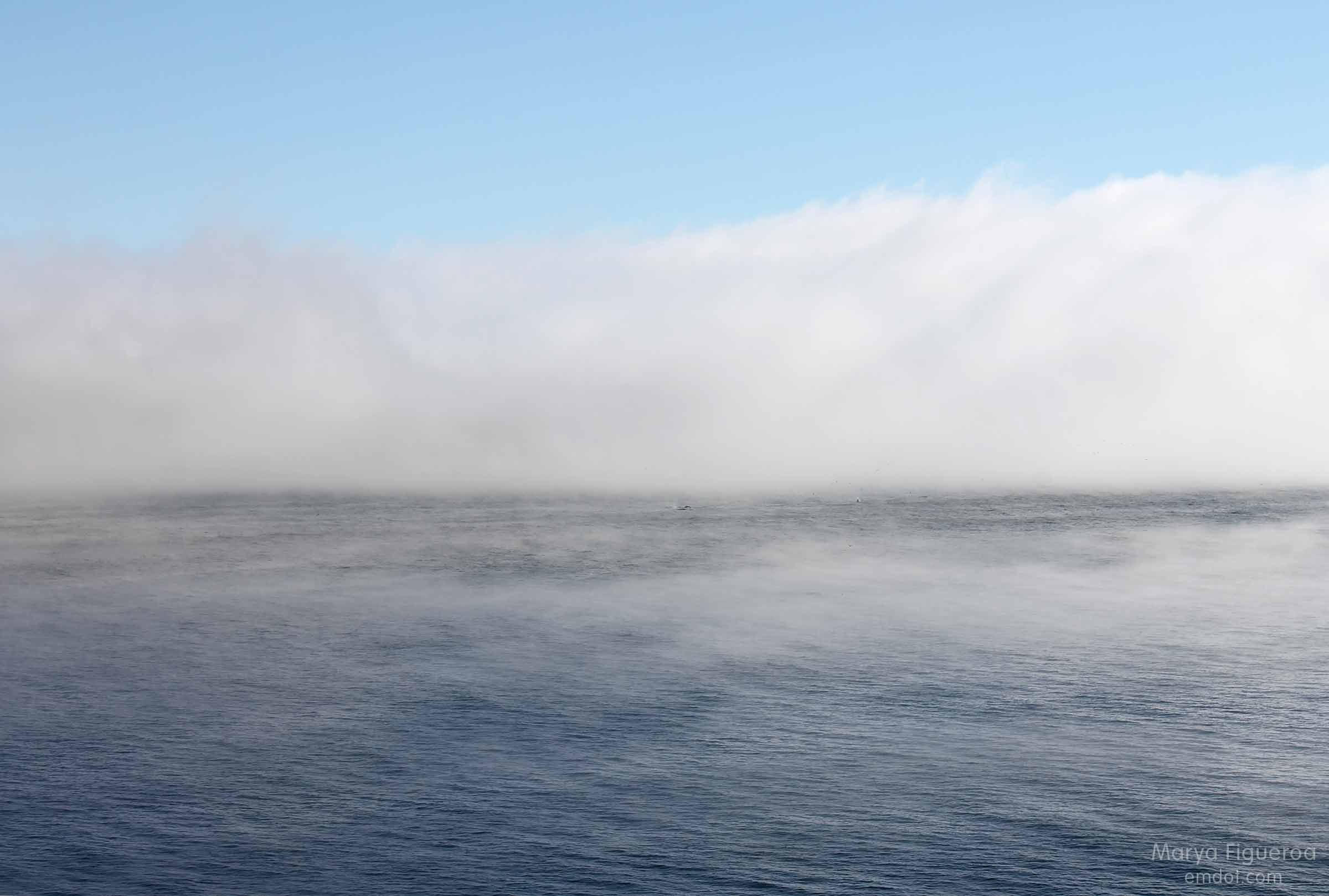
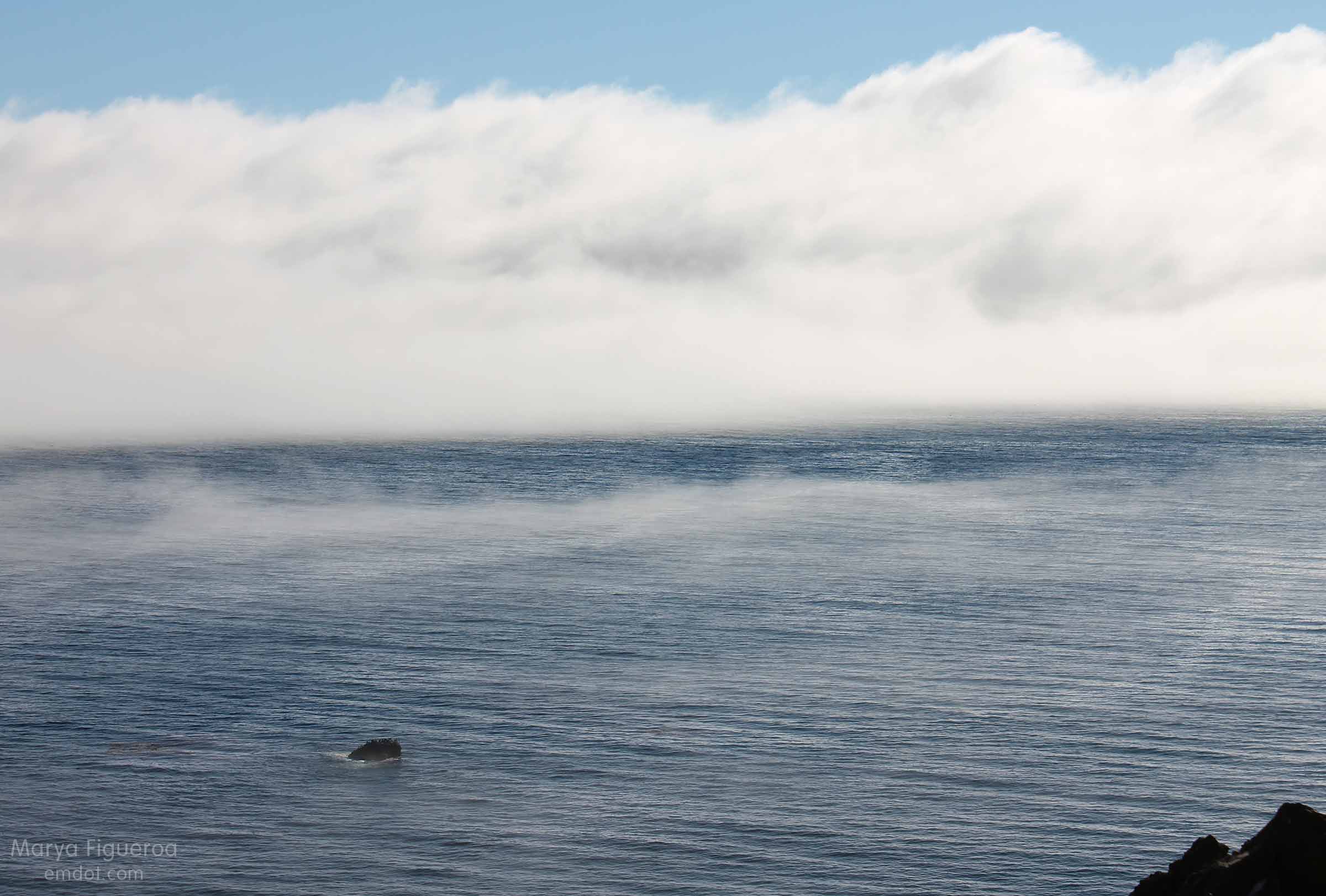
We had spent the day in Big Sur hiking the Tan Bark trail and traipsing along the coastline (posts to come). We’d caught glimpses of whales while on our hike — big spouts of spray shooting up into the air, even though the whales themselves were a mile or so out. Despite being so far away, a whale siting is still exciting, still worth a finger pointing out to sea, and still warrants a cry of “whale!” ensuring your hiking partner has seen them as well.

whale tail and dorsel fin
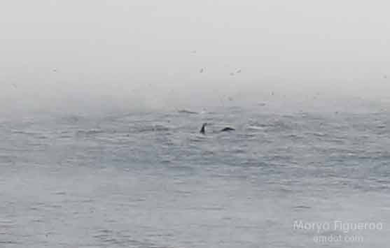
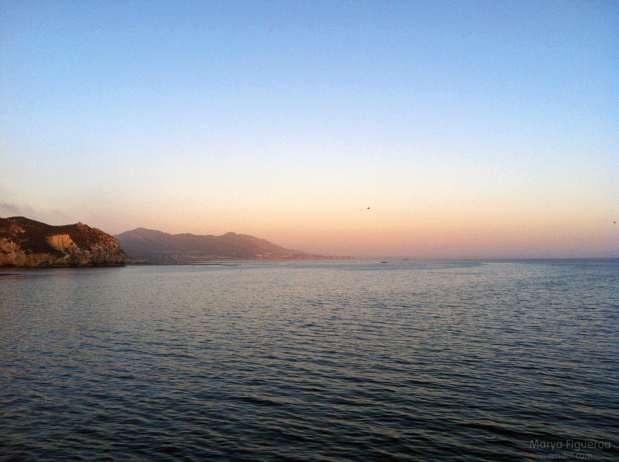
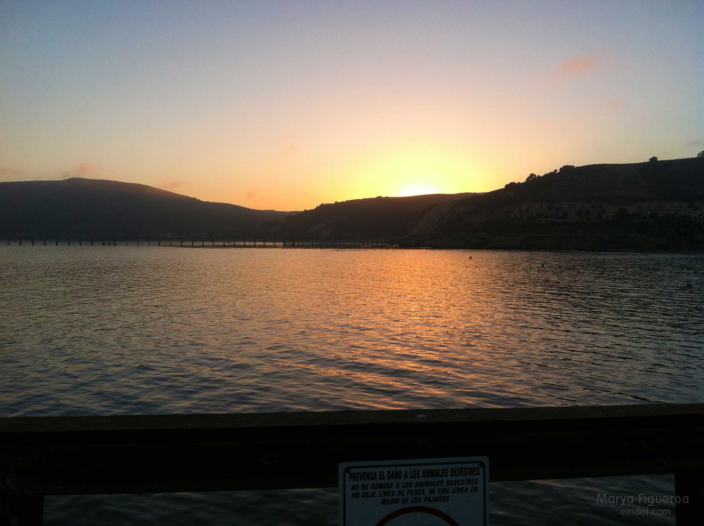
As we drove home we saw even more glimpses of whale activity and pulled over in three different spots to marvel at these creatures and our luck at seeing them, regardless of how far out they were.

whale back
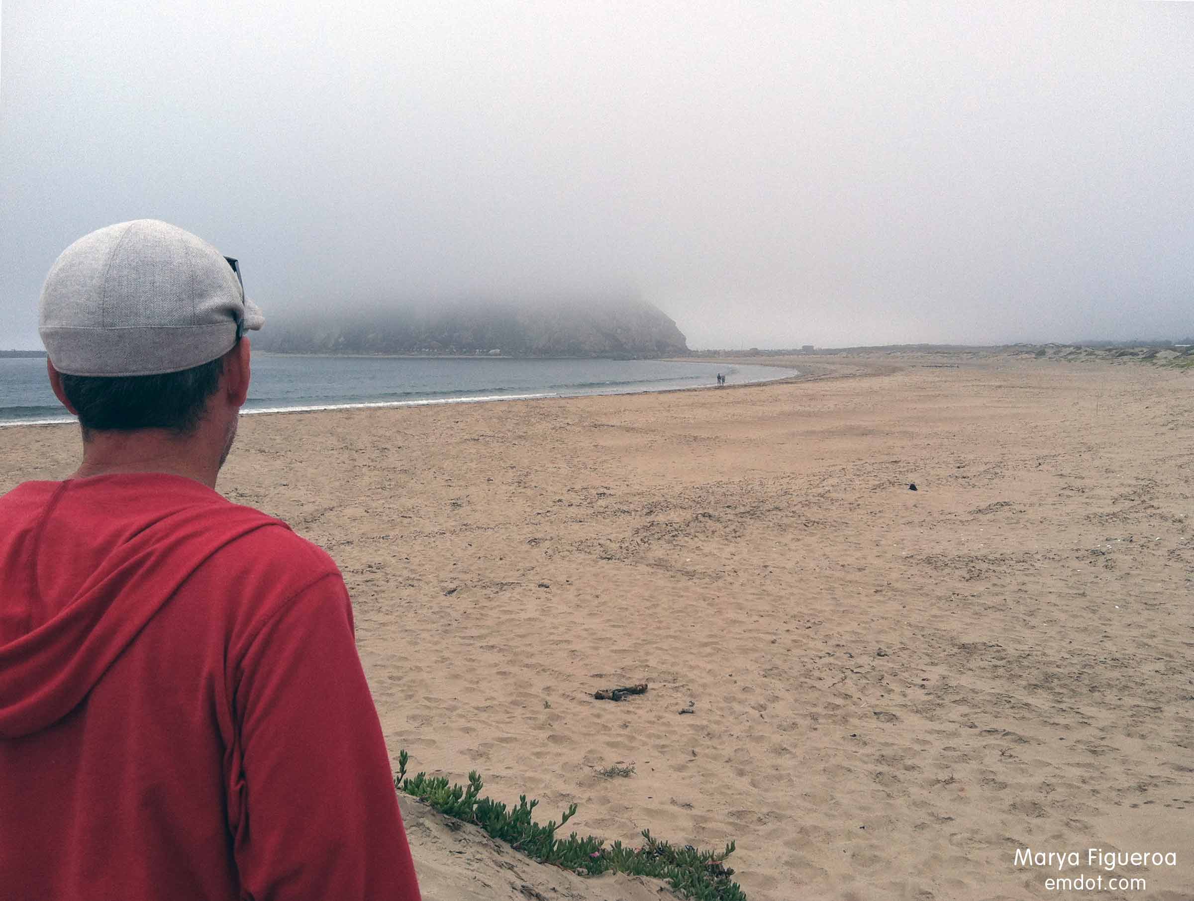
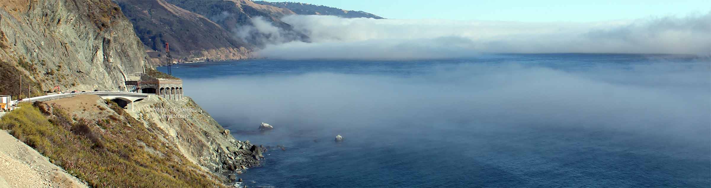
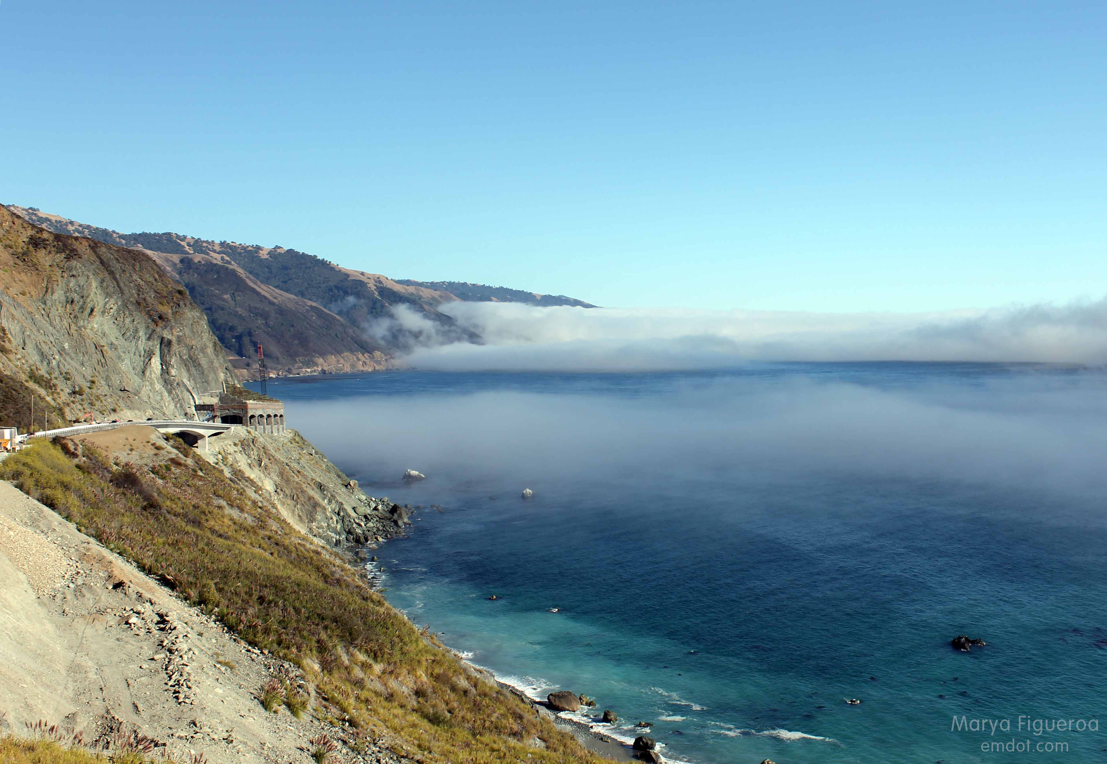
For our third stop we used a turn out just north of the huge construction site for Pitkins Curve and Rain Rocks. We’ve been eagerly charting this development for a couple of years, marveling at the work. Stopping here was exciting to me because not only would I see whales and the beautiful fog over the ocean, but I would finally have the opportunity to take some shots of the construction site.

Rain Rocks and Pitkins Curve
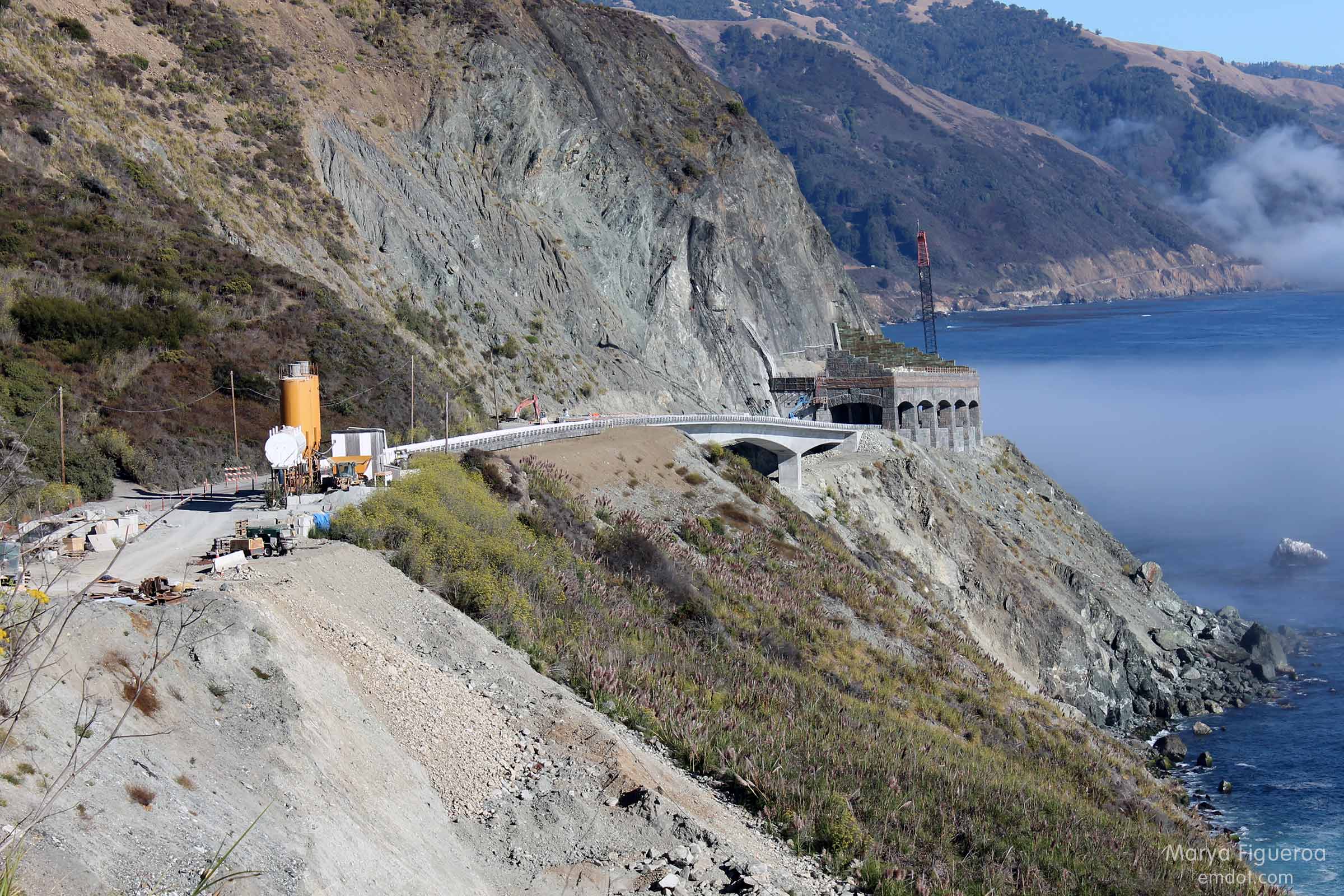
Note the very large boulders below the rock shed. THOSE CAME FROM UP ABOVE. Just a couple of examples why this rock shed is so important to this part of the coast. Prone to regular landslides and rockslides, Rain Rocks and Pitkins Curve, when damaged, can shut off the road for months at a time. Not only cutting off access for tourists, but isolating residents as well. (See Big Sur Kate’s blog for insight from a resident.)

turn out, looking north
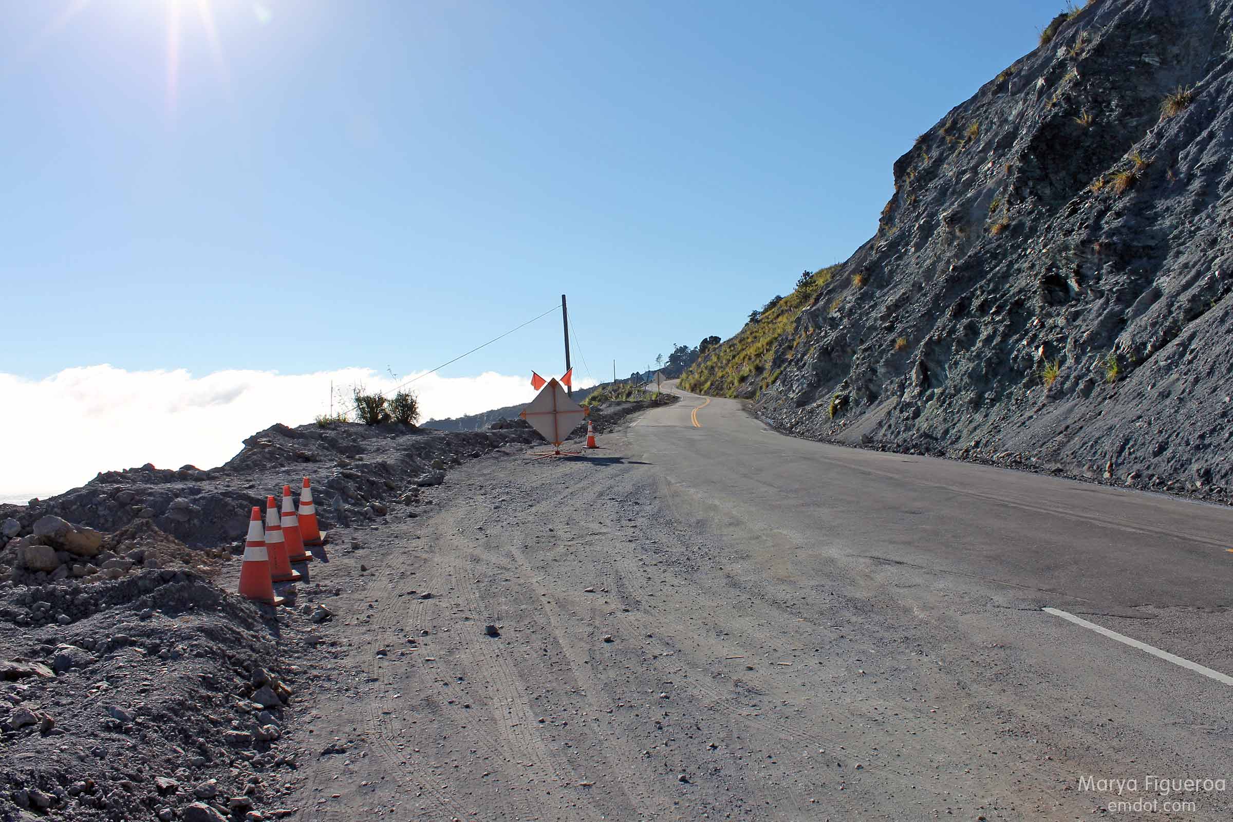
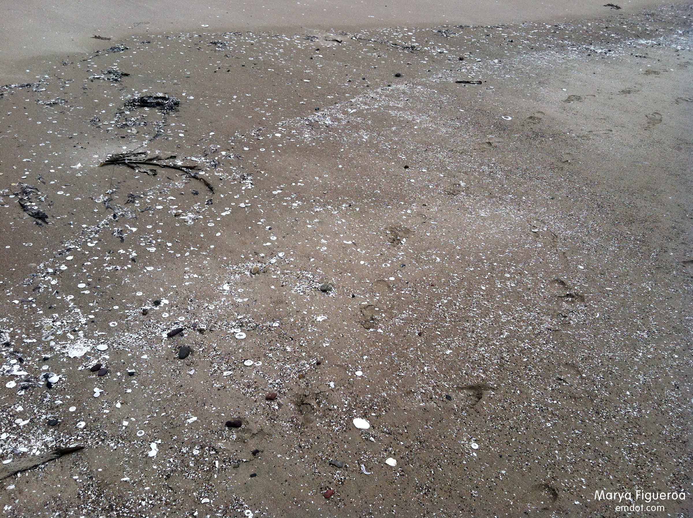
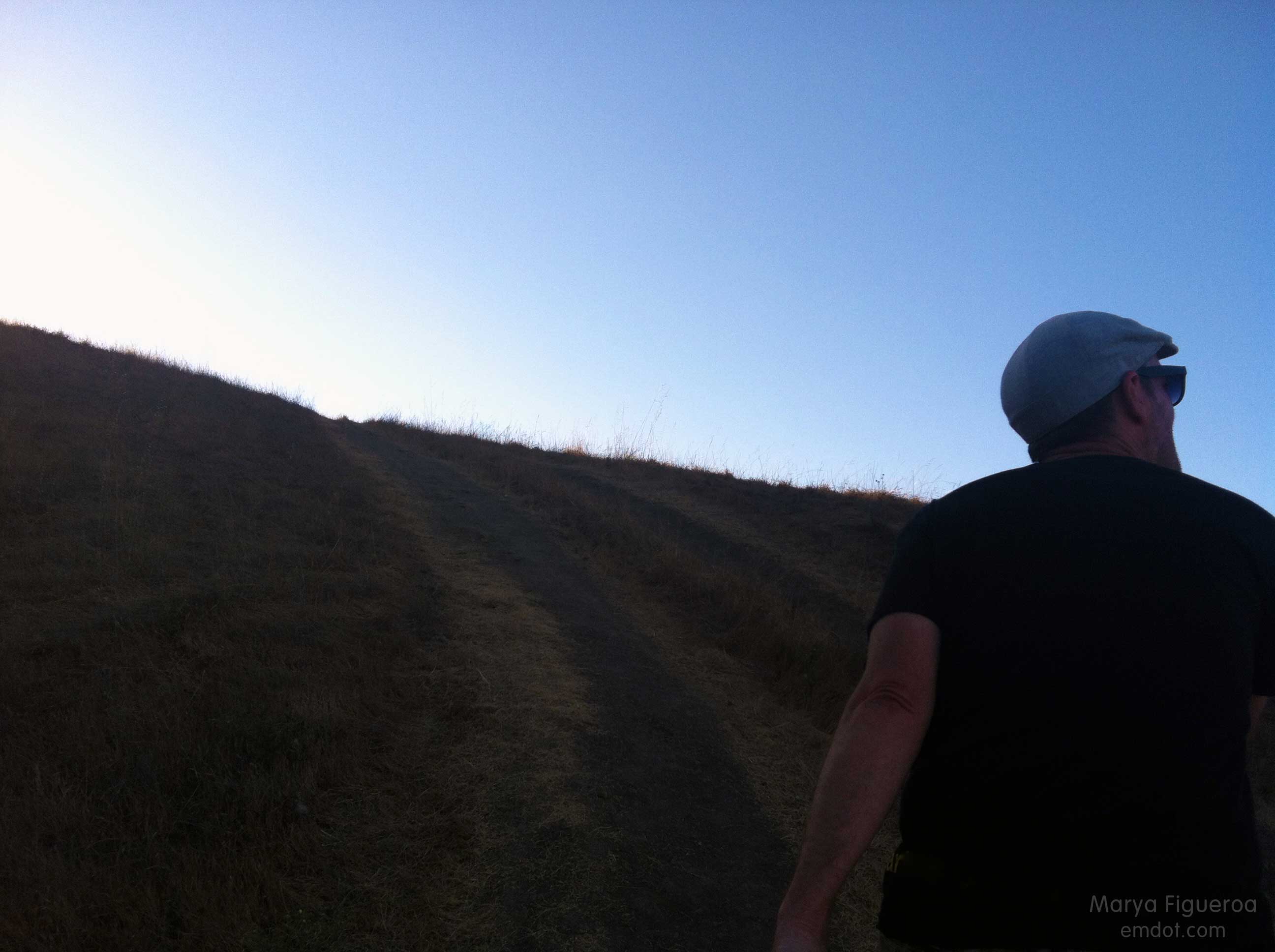
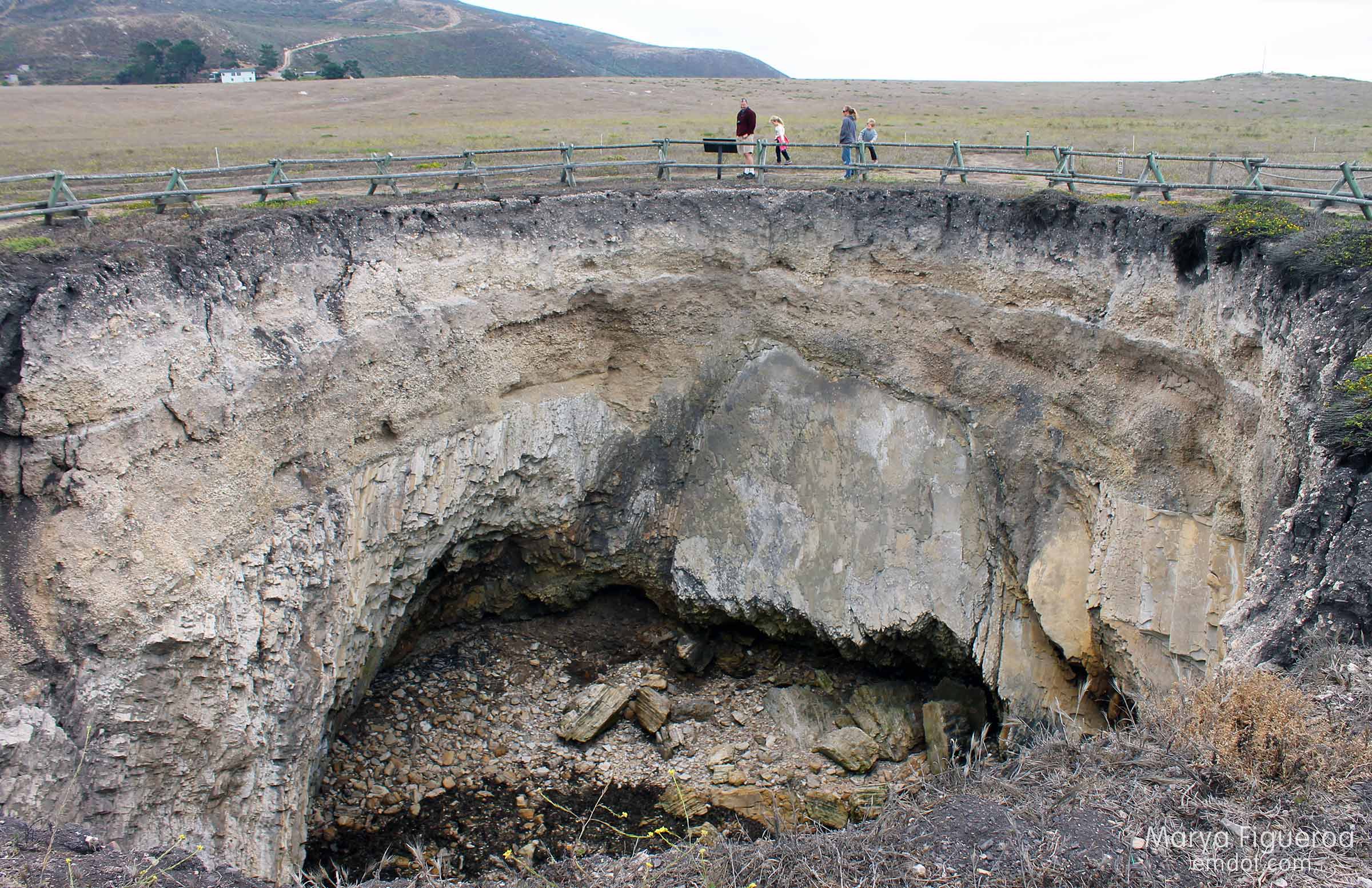
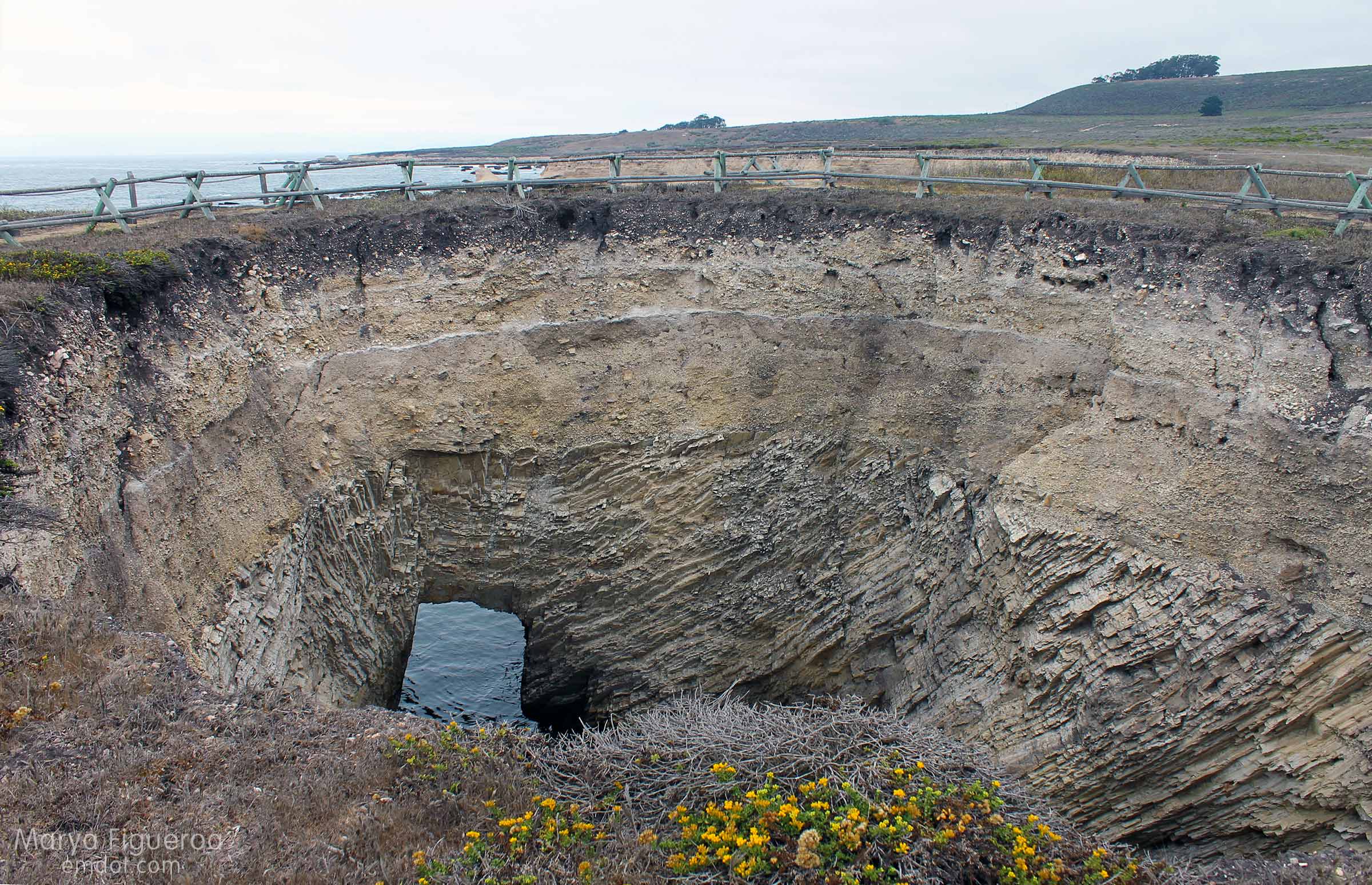
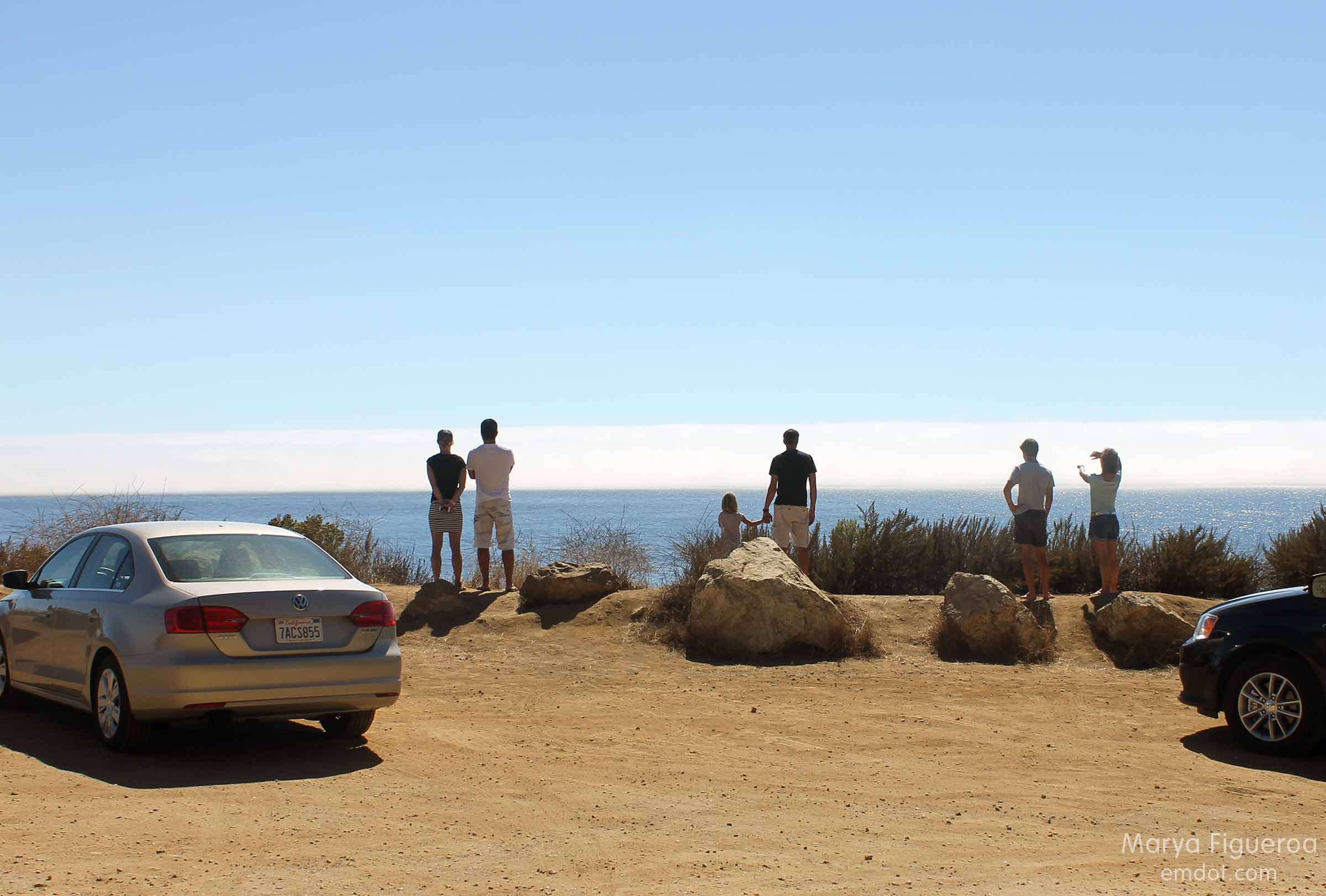
While there was a turn out here, it wasn’t a “nice” turn out. It is rough. I guess it should be, considering this is a landslide zone. The earth itself is made up a type of sandstone known as greywacke, a crumbly, unstable type of soil. If I had known about its properties beforehand, perhaps I would not have chosen to stand upon the berm at this location.

Construction site at Pitkens Curve and Rain Rocks
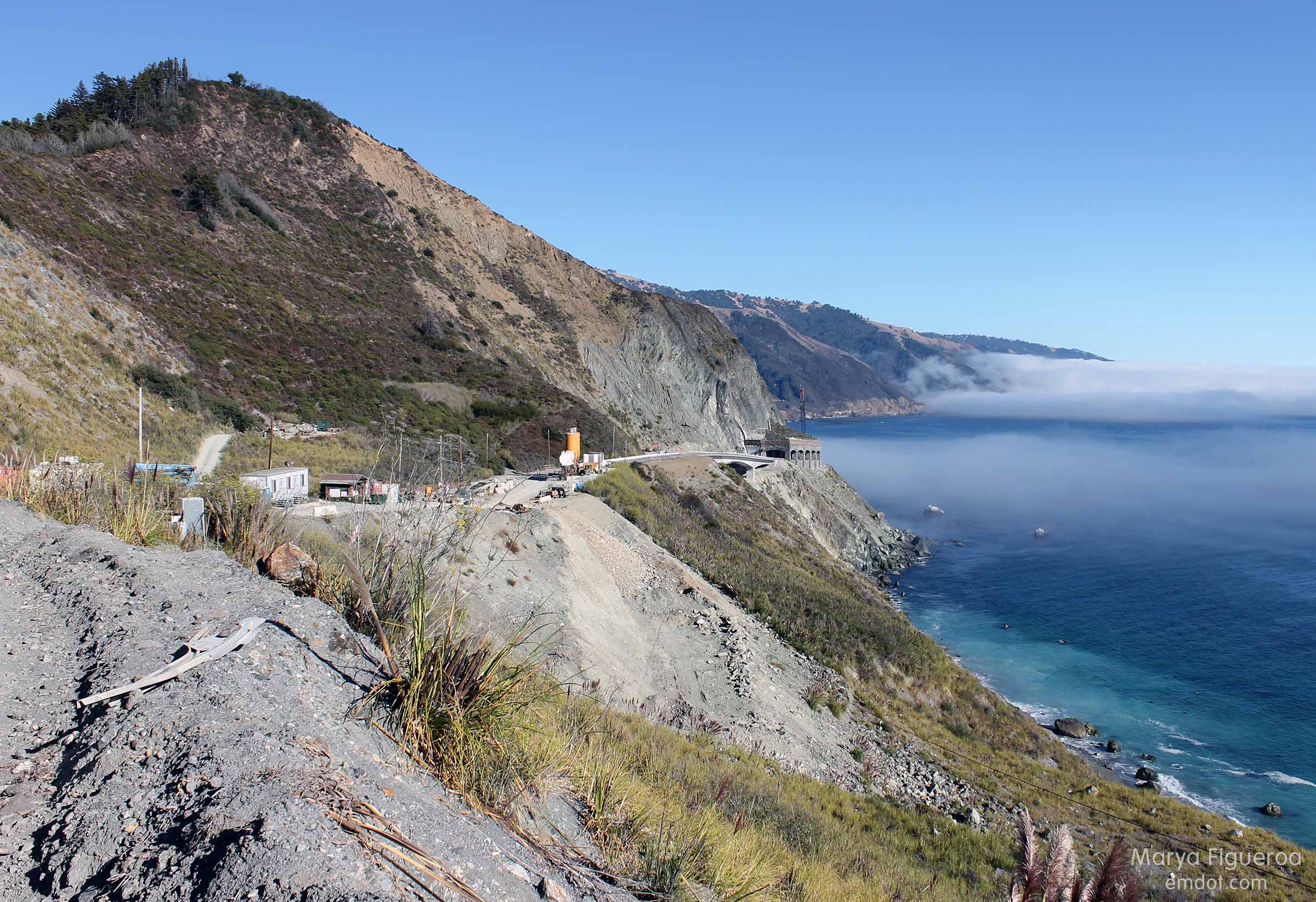
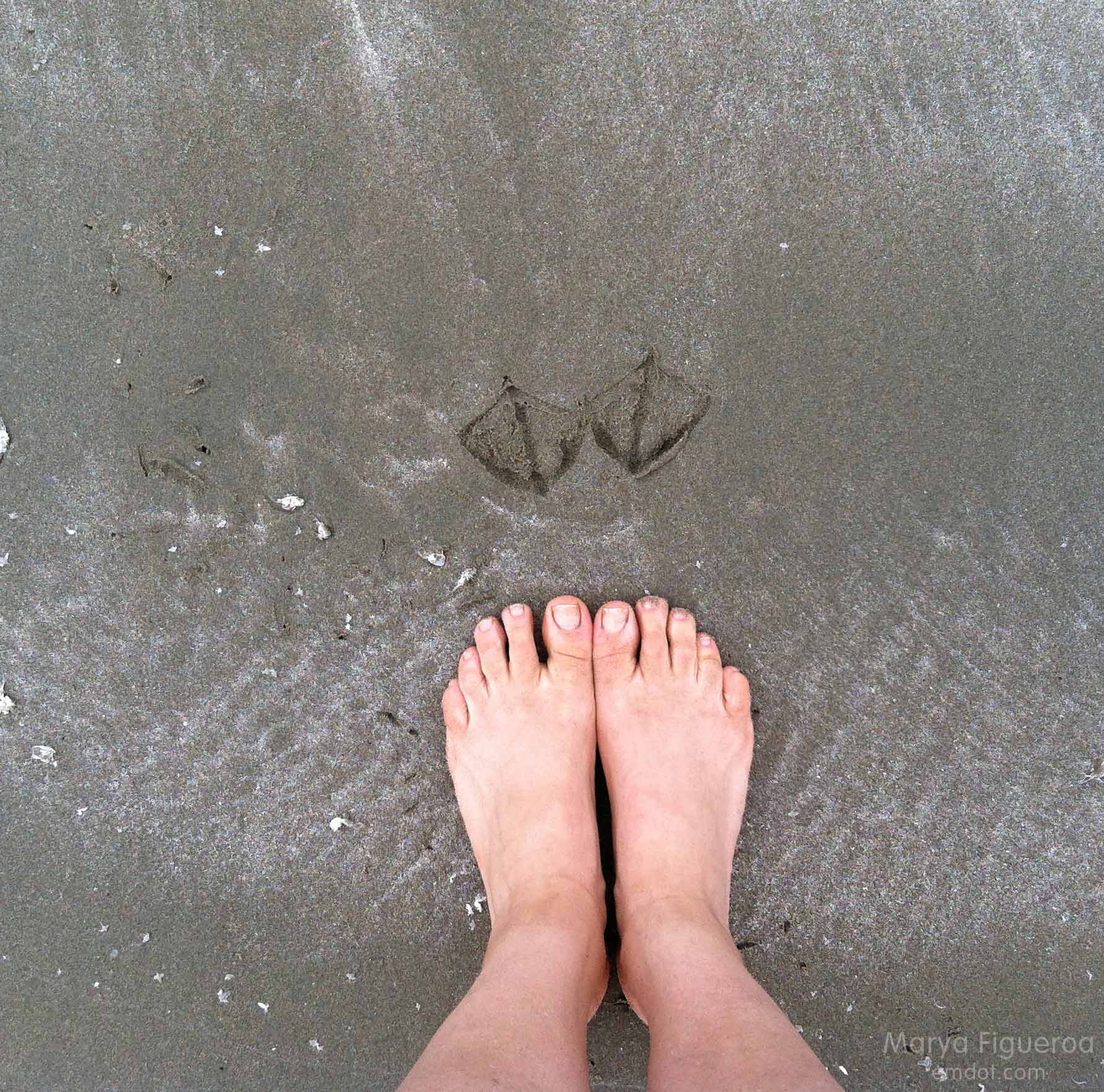
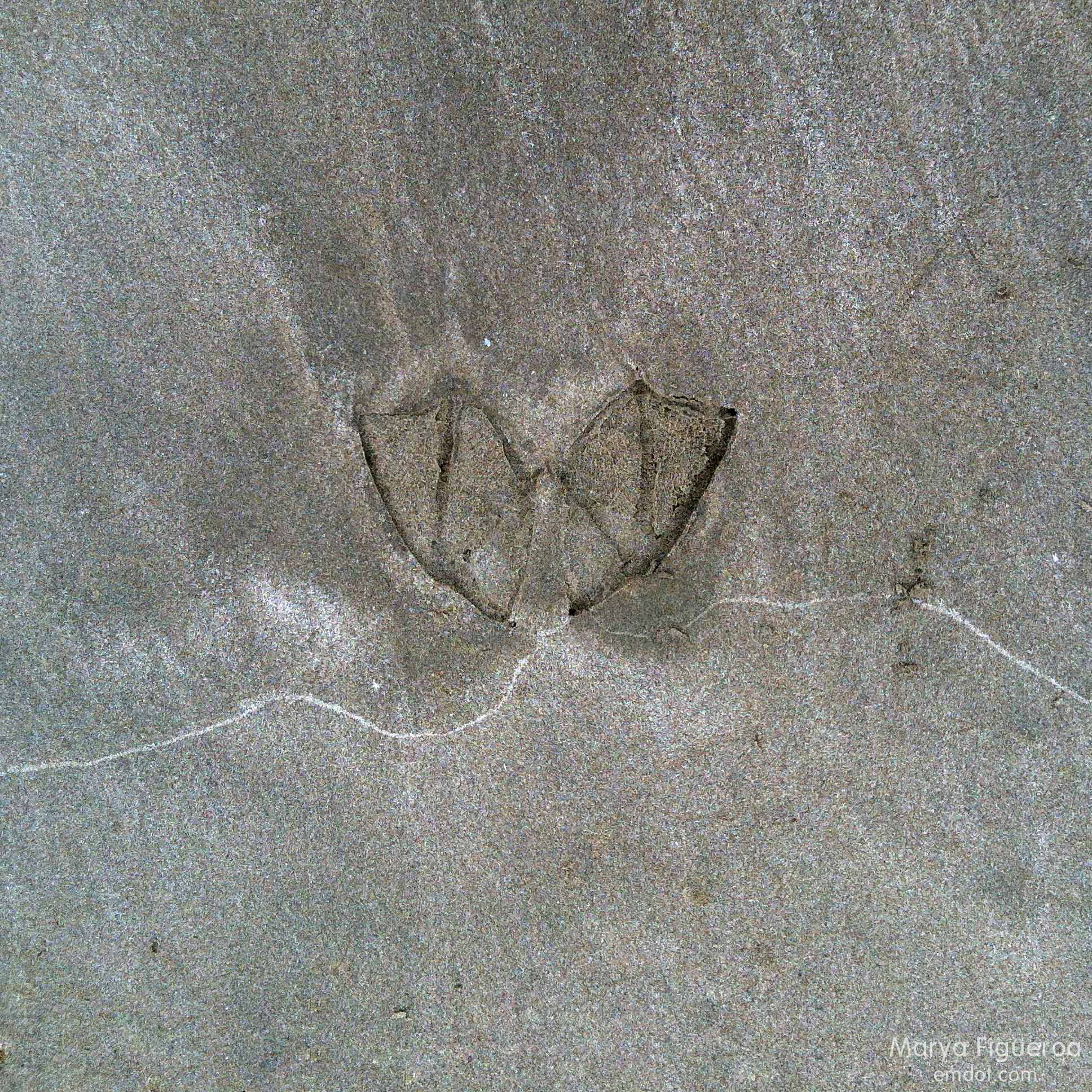
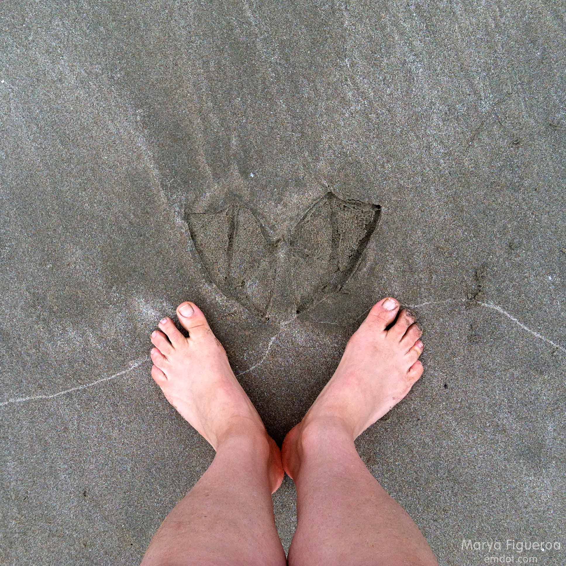
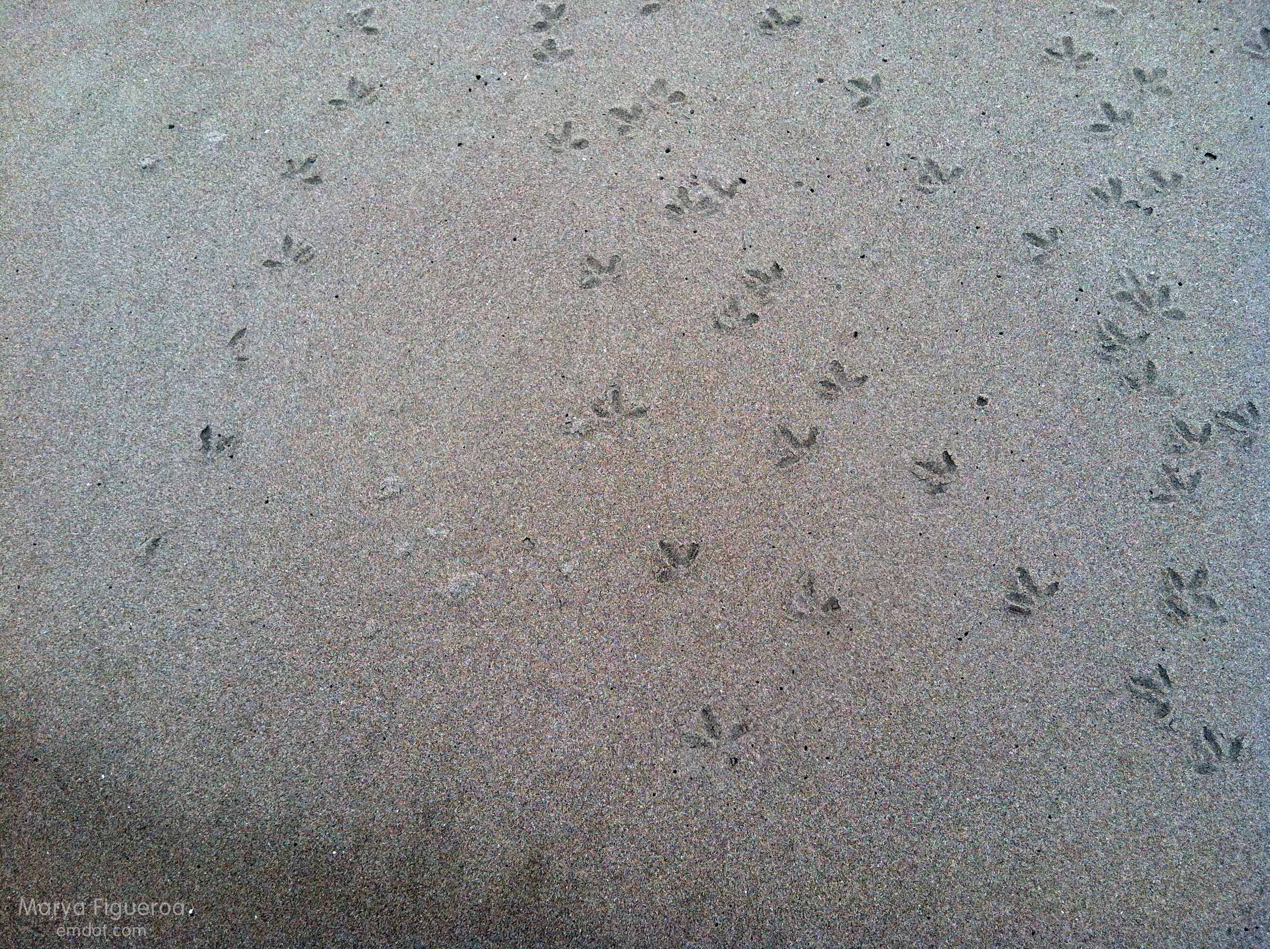
As I stepped up, I made a mental note that it was not hard packed like the berms at other locations. My feet sunk into the dirt a half-inch or so. The site was dusty and gritty. I stood squarely on top and it didn’t feel unsafe, but, as there was a sloping cliff directly below us that plunged hundreds of feet into the Pacific Ocean, I did stay mindful.

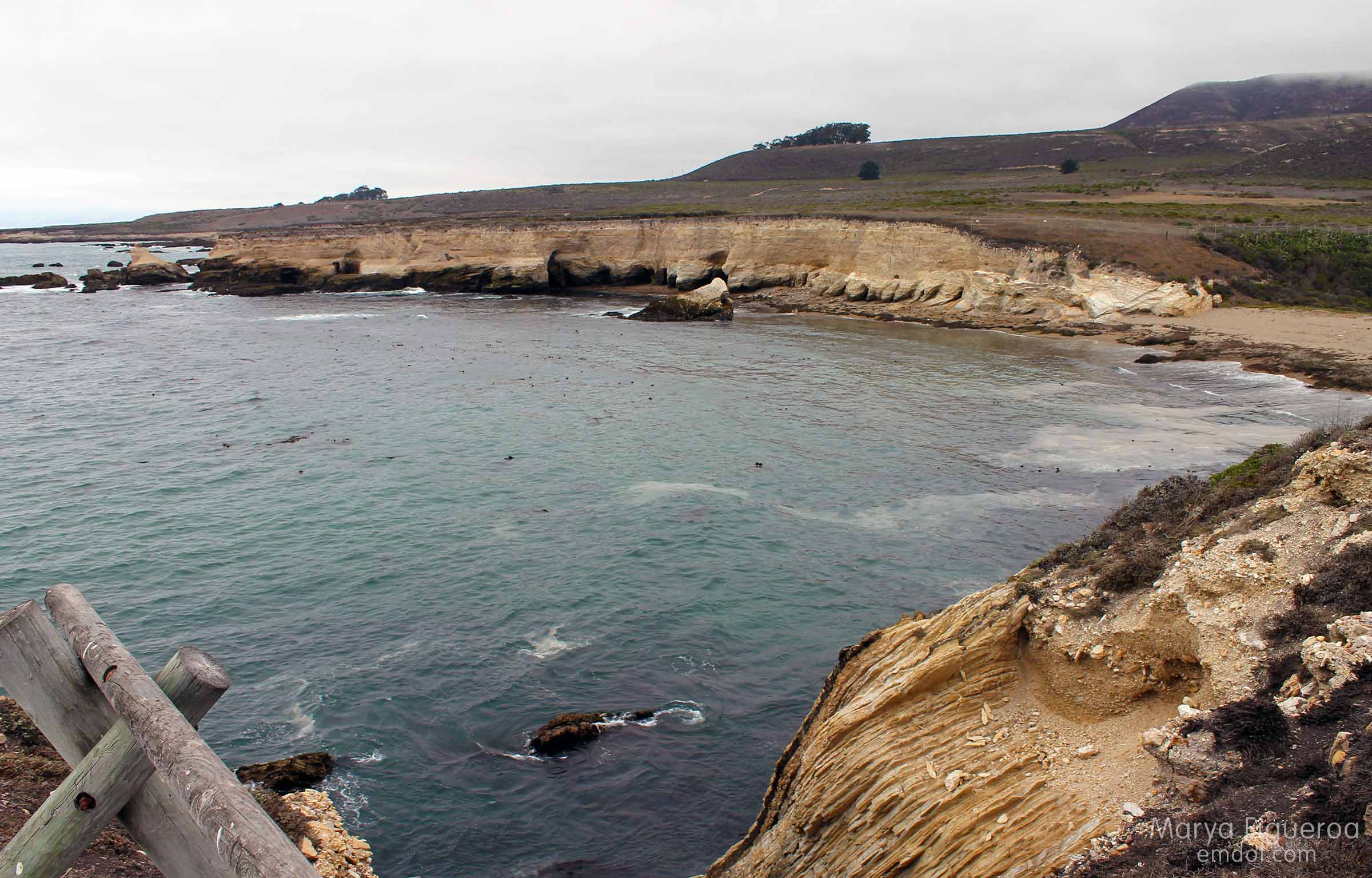
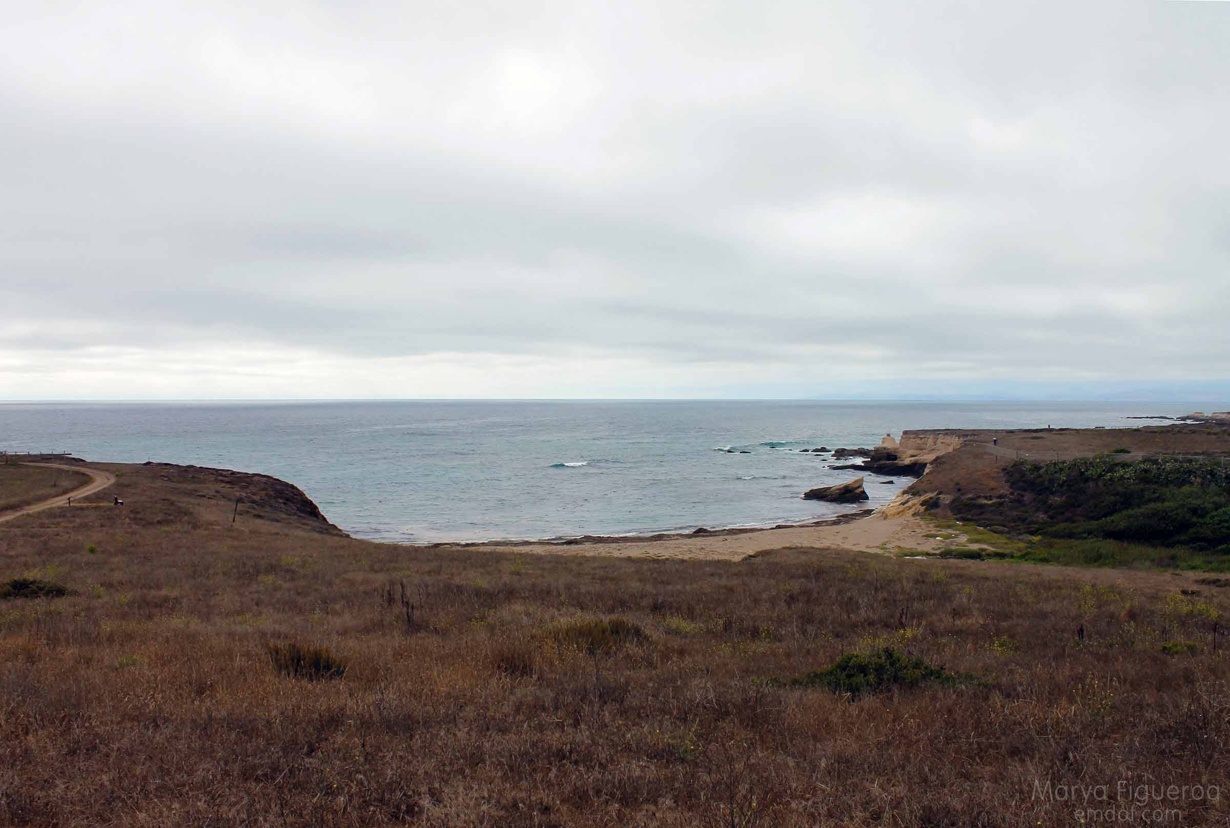
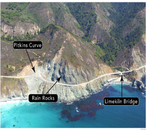
Below you can see what this coastline looks like (photo from the blog post Rain Rocks | The Coast Road). We were standing about one-half inch to the left of the Pitkins Curve arrow. There is a small dark-ish spot near where we were standing.

pitkins-location2
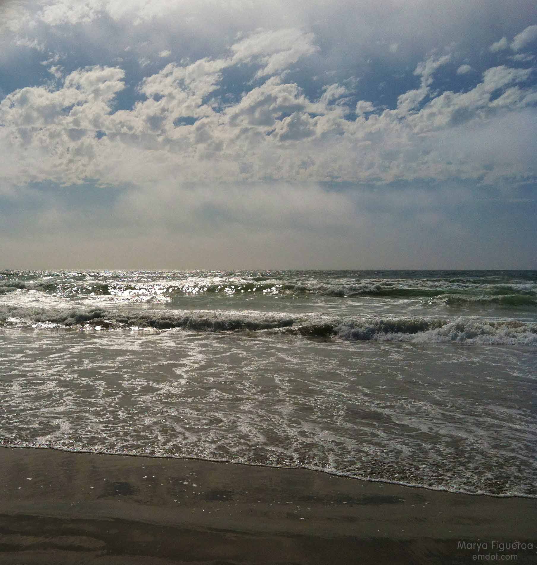
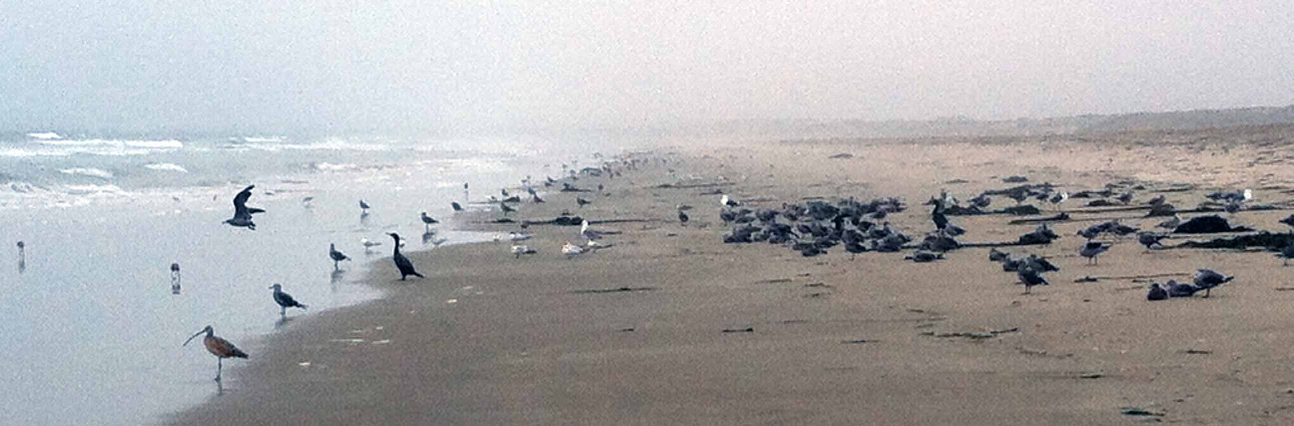
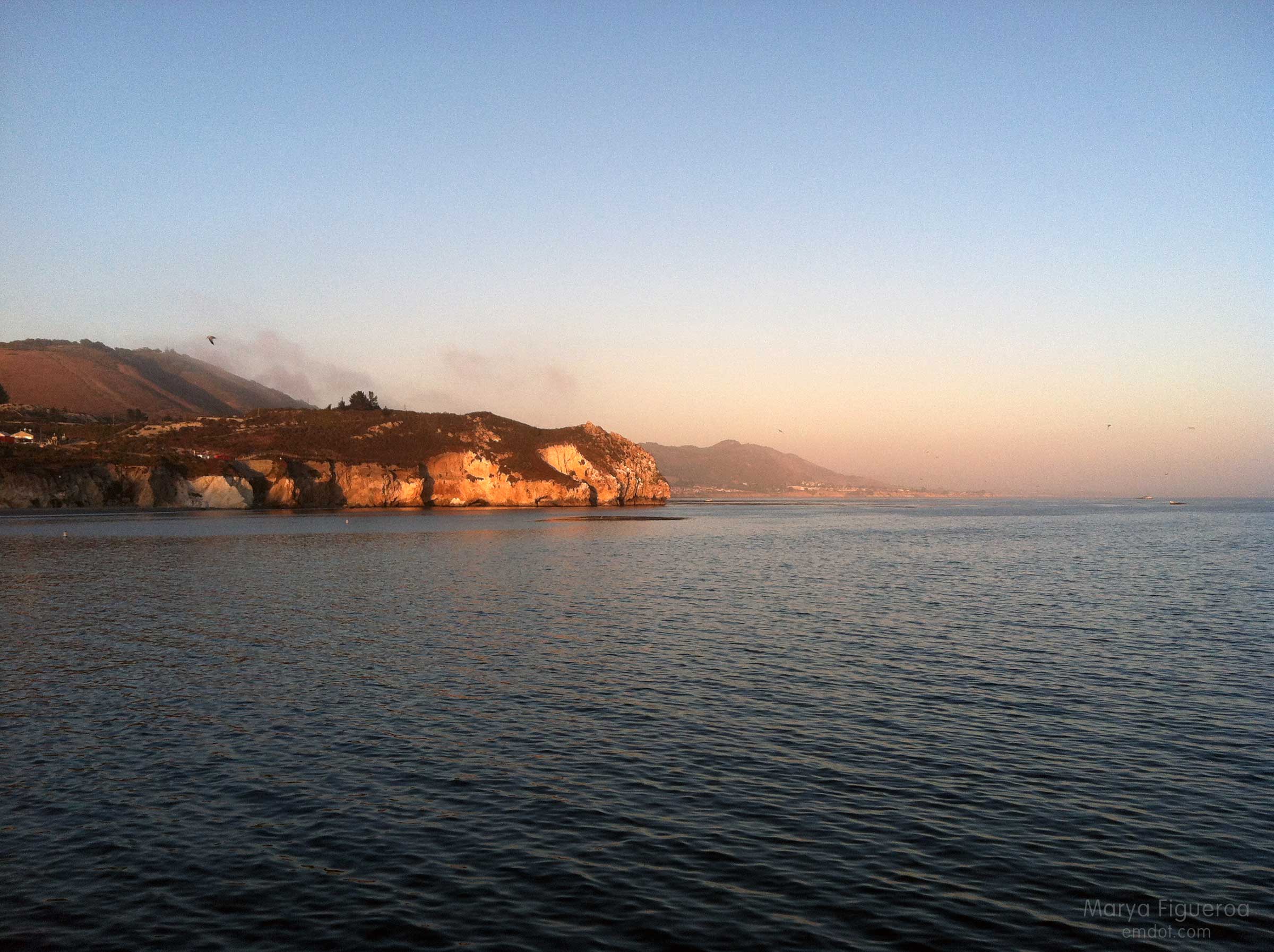
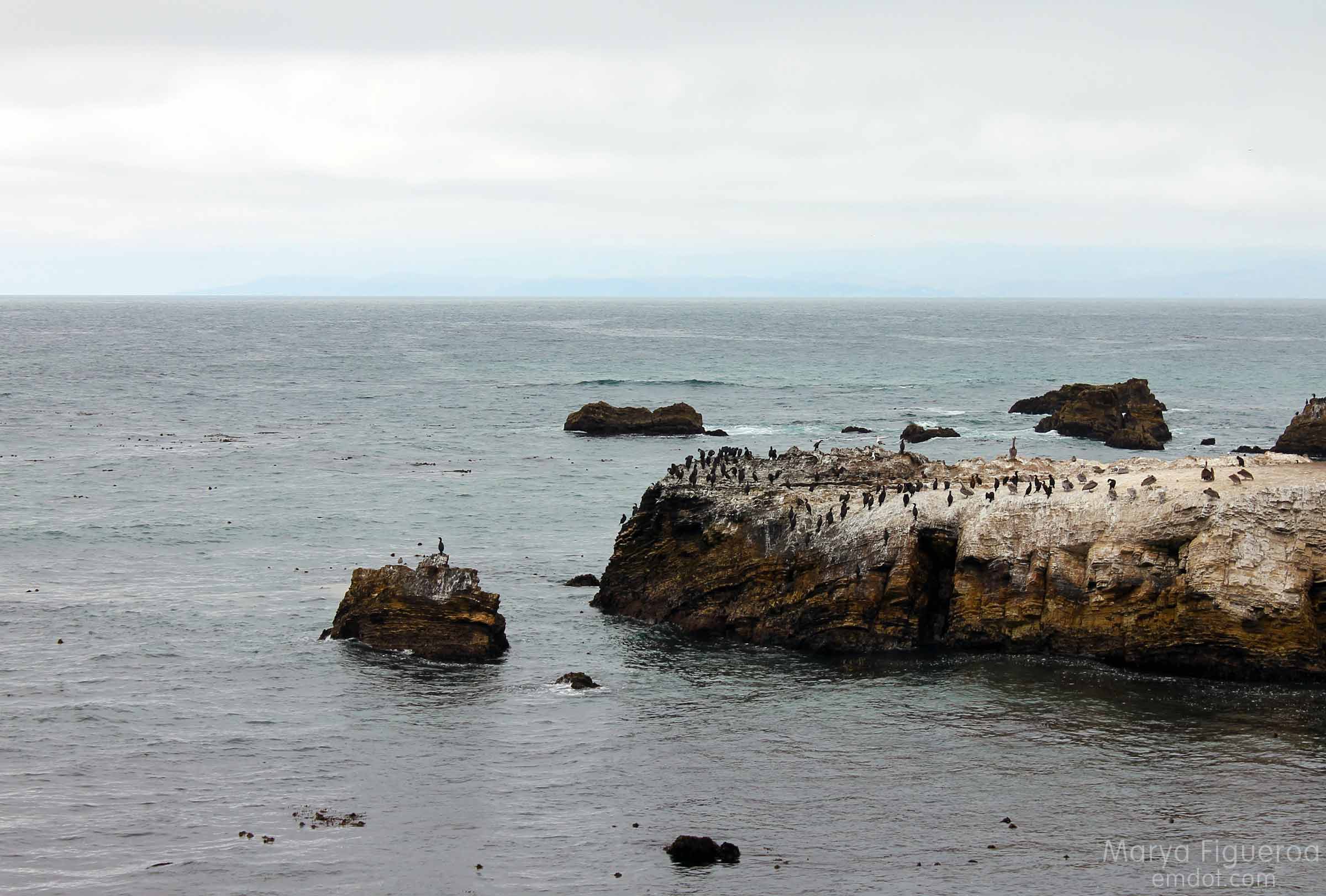
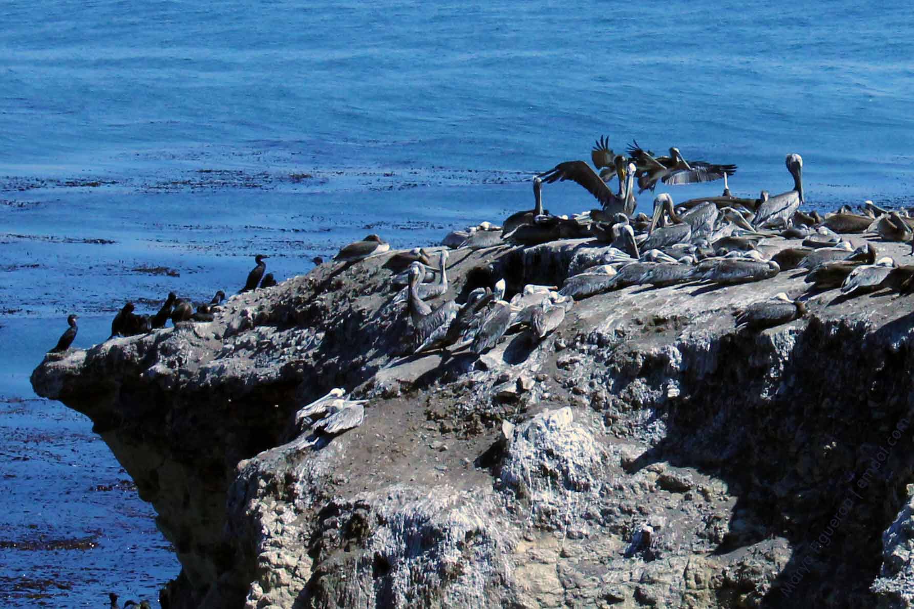
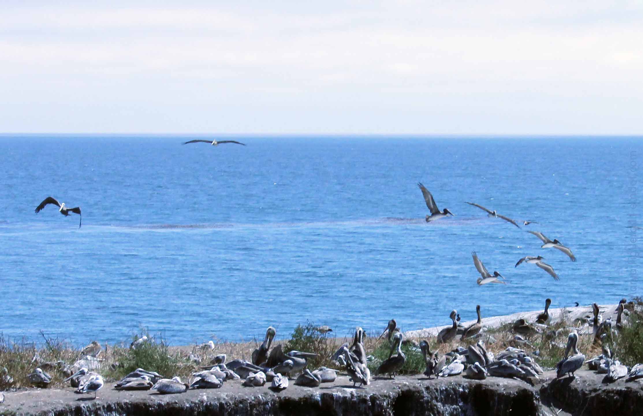
Out to sea there were about seven whales spouting and breaching and slapping their tails. The fog bank put on a show, too.

looking out to sea

fog bank
After a few minutes we decided to get back in the car and continue our trip home. Even though SLO was only 70 miles away, the crooked road and slow speed limit slows you down. It would be another two hours before we’d get home.

Looking south again towards Rain Rocks
The berm where I stood was maybe three feet high. It took a step or two to get up and it would take a step or two to get down.

The dirt gave way, though, when I took my first step down. I tried to find my balance, but couldn’t. It wasn’t one of those slow-motion falls; it was a fast-moving crumple. As my feet couldn’t get their bearing, I just collapsed in a hard-hitting stumble-fall towards the road.

Steve was by my side in an instant. One of my sandals was three feet away (how did that happen?). My keys had pitched from my hand (and we were both so happy they didn’t go over the cliff). I stayed very still for a moment, both gathering my wits and making sure I was okay.

I was rattled, but I was okay. Adrenaline is a wonderful thing. My right hand had a giant road rash and started bleeding right away. My arm hurt, but I could move my fingers. I could stand up. I got my sandal back on. Steve grabbed my keys. It was a close one. But I was okay.

We drove straight to my doctor’s office stopping only to see if we could find some painkillers (nope) or some ice (thank you Ragged Point!). We learned later that I had a minor fracture (a nondisplaced transverse ulna fracture) that my doctor said couldn’t have happened in a better location. I got a splint. I got some heavy duty pain medication and I headed on home.

Even though it was just a little spill with just a little injury, I realize it could have been so much worse. I feel grateful that I fell toward the road and not the cliff. I feel lucky that it’s only a little fracture and not a compound doozy. I feel thankful that Steve was there not only to drive us home, but to soothe and take care of me. I feel a little stupid and cavalier for taking frivolous risks so far from home and help. It’s a fine line between smart and scared, between adventurous and idiotic. I’d like to veer on the smart and adventurous side.

I go see the orthopedist soon. My bet is that I will stay in the splint and not need a cast. I’m a little sad I won’t be able to take yoga classes or lift weights in the weeks to come like I was planning, but really, I’m just happy to be safe and on the mend.

Beach Feet

Many birds on the beach
There were a ton of birds on the beach — curlews, whimbrels, willets, plovers, cormorants, pelicans, terns and more gulls than a person could count.

Now, I’m not positive about my bird identification here, but based on what was standing where, I think I got these right.

Below: seagull.

seagull footprints

seagull footprints in comparison with my feet
Below: cormorant.

cormorant footprints

cormorant footprints with my feet in comparison
So much bigger than the gull, right? I didn’t see any pelicans on this part of the beach; could cormorant feet really be that much bigger than a gull?

Below: mystery bird! These are really tiny. I will guess that they are terns (because there were terns everywhere) and they are half-ish the size of the gulls. They could be sandpiper or plovers… but are those little birds heavy enough to even leave a footprint? I still think terns.

mystery prints -- maybe terns? maybe plovers?

Morro Dunes Natural Preserve

sandy path
A couple of weeks ago we hiked Point Buchon at the south end of Montana de Oro. On the way home we were wowed by the view below — the long sand bar that reaches from MdO in Los Osos to Morro Rock in Morro Bay.

View of the sand spit all the way to rock
The next week Steve suggested we head out there. I thought we would do the hike that took us from Pecho Valley Road to the beach and hang out for a while. Maybe walk for a bit. I had no idea that Steve intended to walk the full length and back. I would have brought some water.

hiking on the sandy trail
This post documents the walk from Pecho Valley Road to the beach which has several side trails (see below). We kept our momentum westward.

an alternate route
Much of the sandy/dune area is protected. A small fire blazed through here a few years ago, leaving it even more delicate (sand dunes and the surrounding flora are fragile things).

protection
The fog rolled in and out. Sweatshirts came off and then back on several times.

layers on, layers off

the preserves sign
While walking to the beach the only people we saw were on horseback.

meeting the equestrian

equestrian crossing
The loose, deep sand carried us all the way to the ocean’s edge. The trail at the beginning of the hike was mixed with leaves and (very small) brittle sticks. Later it turned to silty sand and sharp shale. At the dune it morphed to more traditional sand, but with an awkward and aging black substrate (that I presume was) laid down to fortify the trail base. It was quite sharp and stuck out of the ground at odd angles.

We wouldn’t take off our shoes until we hit the shoreline.

up the dune

the down path
Photo below: At the bottom of the dune on the beach side, looking back up the trail we had just finished.

the road back up
Snowy plovers are adorable, small shorebirds that lay their eggs IN THE SAND. How they have survived all these years is a mystery to me. The central coast takes great care in protecting these cute creatures. Most of the dunes are off limits for many months every year.

protected
Once we made it to the beach, the big question became “how will we find the trail entrance when we return?” Because: seen one sand dune, seen them all (seriously). Plus it was foggy — we couldn’t see much landscape characteristics in the background. I took the photo below to help us identify our point of entry later. Steve also marked the spot with a big pile of purposefully placed seaweed (not shown).

marking where we need to go back up
Luckily, in the end, we did find our place to hike back. By that time we had eight miles under our belts, Steve’s shoes were causing large welts and blisters, and I was tired, hungry and thirsty. Let’s just say we both kept our heads down and our feet moving forward til we got back to the car.

Then, as luck would have it, some friends were just driving by our car (visible from the road) when we got back. They stopped and shared water, tangerines, deviled eggs and cameraderie. What are the chances? They had been picnicking out at Spooner’s Cove. Man, I was happy to see them. I wish I’d had my wits about me to take their photo, but at that time I was exhausted and wilted. :) Still: thank you Kristin! Thank you Bret! It was a great way to end the day.

Peak a Week #22

Lemon Grove Loop – after work version

Looking at Bishop Peak from Cerro San Luis

Week 21 (can you believe it?!). As mentioned in previous Avila Beach Pier post, I was behind so it was a two-hikes-and-two-beaches week. No complaints. It’s nice to get outside after work; sometimes I forget this in my haze of after-work exhaustion.

steep trail

This is the third time I’ve done the Lemon Grove loop this year and I guess I should remind folks that this is a hybrid hike. Part Lemon Grove and part Cerro San Luis trail proper. We merge them at one point to make something a bit longer that wraps around the whole mountain. It isn’t as steep as CSL proper… except at this one point (above).

Lemon Grove Loop hike

Because of our timing (which was perfect and problematic) we had the sun in our eyes the whole time, sometimes obscuring what was directly in front of us. First world problems, people. And it’s a first world problem I’m happy to have.

oak trees + sun burst

oak trees

view of bishops

in the oaks

fence

Look out towards LOVR

golden hour / magic hour

the shadows

peak week 21


Avila Beach Pier

On Avila Beach pier

Week 23. Avila Beach after work. I got a little behind schedule so there were two beach and two peak outings this week. The first was a little trip to Avila after a long work day.

Avila Beach & lifeguard tower

I highly recommend hitting up the beach after a long day of work if you can do it. When you live near the beach, sometimes you become a little complacent. A little forgetful of the luckiness that is your surroundings. It’s good to remember your fortune (beaches nearby) and make the most of them. You’d be surprised how many of us forget this.

The below photo is just a quick shout out to all of the other beach ordinance signs I’ve posted this year. Those beaches, they like their ordinances. This one is interesting in that you can have your dog on the beach in the mornings and evenings, but not in the middle of the day. It’s like Santa Barbara’s crazy “no left turn” rules during commute times.

All the things you can't do at the beach

Below: looking southward towards Shell Beach and Pismo Beach.

From the pier, looking south

Below: at the end of the pier.

On the pier

Looking south

From the pier, looking out to sea

Below: looking back towards the Avila shore. I think some of us locals still mourn for the old, funky Avila Beach. This is the new and improved Avila Beach after an oil company found an oil leak and had to (for the most part) raze the city and rebuild everything. Avila Lite. Avila-Times-Square. Yet, you also have to admit, new Avila is nice. It might have lost its funk, but it’s still a great place with cute shops, restaurants and fun bars.

Looking back on to shore

Below: looking north. (What you can’t see: Diablo Canyon Nuclear Power Plant, hidden by those hills.)

Pier rules + sunset

sunset

Below: Looking north at the Cal Poly pier.

You can see the moon

No overhead casting

out to sea, looking north-ish

sunset

The end of the pier held 12 or 15 people, several fishermen, several people out for a stroll and one heavy metal dude. Steve and I wondered: was the heavy metal dude a regular? Everyone took him in stride.

Towards Avila

Week 23


Point Buchon

Point Buchon

Week 20. August 4th. Point Buchon is at the southernmost tip of Montana de Oro state park, but is run by PG&E (they own the property). It’s only opened a few days a week and only for a few hours at that. You have to sign in at a kiosk with your id, address and the like. We got there late and only had 45 minutes to tromp out to the point or to the sink hole. We hustled off wanting to get the most in as we could.

Check in here

take care

Is it bad to say it’s not my favorite hike in MdO? It’s flat. It’s a bit barren. It’s probably better in the spring time. But it was still nice to be outside, to be there, to see the birds, and to get some exercise.

Point Buchon

Keep on path

Point Buchon

Cormorants

Pelicans and people

Pelicans overhead

The sink hole used to be a cave until its roof caved in. I don’t know what you would call the “roof” that remains to the cliff…. Is this a natural bridge? I’m not sure. But it seems to be slowly eroding away as well. Some day (in our time?) this will be a cove.

family and sink hole

sink hole

In the image below I’m standing at the westernmost part of the sink hole, looking towards the MdO Bluff Trail. The beach is still part of Point Buchon, but the cliff above it is Montana de Oro proper.

Point Buchon

from Point Buchon

Trail back

After our hike (we got back just in the nick of time), I still needed 2500 steps to make my FitBig daily requirements, so I talked Steve into doing a little of Coon Creek. Coon Creek is the lushest part of MdO, riparian and dense in foliage. Or it was. There was a (controlled?) fire that took out the lush trees leaving burned out bark and bare hillsides.

burned coon creek

burned coon creek

burned coon creek

hike_080413_26

It will be interesting to see how the vegetation comes back in the months and years to come.

On our way out we were so wowed by the sight below that we pulled over to take a quick pic.

sand spit to the rock

This made an impression on Steve, I think, because walking the sandspit from MdO to the rock and back became his mission and you will see it featured in an upcoming blogpost. A hike and a beach in one. I hope you’ll be back to see it.

Dinosaur Caves and Beachcomber Street

Shane, Kirstin, Becky and kids

Week 22. August 3. We hit up two beaches this week, only a couple miles apart. First, Dinosaur Caves which is officially in Pismo, but on the border of Pismo and Shell. Then, we met up with friends having a picnic on Beachcomber in Shell. That Beachcomber spot is one of my favorites on the entire Central Coast.

But first, Dinosaur Caves.

Dinosaur Caves

Dinosaur Caves has a bit of a history that includes a building the shape of a dinosaur which you would enter in order to get to the caves themselves. Steve wrote about it on Findery.

Fishermen

All of Pismo was hopping with people, in full summer fashion. Dinosaur Caves had its share of visitors, but offered a nice respite from the crowds at Pismo Beach proper. There were kids in the playground (of course) and a wedding was happening, but for the most part it was quiet and peaceful with people fishing, bird watching or just taking in the views.

Two dogs

Riding bikes with tattoos

Everywhere there were pelicans and cormorants.

Pelicans and cormorants

Pelicans taking off

Shell Beach

Dinosaur Caves is at the northernmost end of Pismo. If you cross the street you are in Shell Beach, lined with houses and lucky ducks.

Beachcomber spot

Our friends were having a picnic further north in Shell Beach. Shane, Dan, Becky, Kirstin and kids were BBQing and kicking back (coming a little later: Tom, Cami and Maggie Mae.). It was so great there I actually wished we’d skipped the caves and just come straight here with the friends. I love this park and spot. You don’t get down to the beach, but you do get a great relaxing time in a beautiful spot. One of my favorites on the Central Coast.

Friends

Josie

Becky and Josie

Kirstin

Bailey and Josie love Steve way more than they love me and I think it’s because he’ll chase them. “Chase us Steve!! Steve, chase us!!” was ringing out the minute we got to the park. (Later it turned into “Why aren’t you chasing us??!!” Ha!) I love these kids.

Bailey and Josie love to be chased

Chase me Steve!!

I left the gang early because I had dinner plans with my mom. As luck would have it we wound up in Cambria and decided to do the Moonstone Garden boardwalk (see Week 10 for earlier pics) before we ate. I knew I wasn’t going to feature Cambria in my beach post, so didn’t pull out my camera (besides I had the wrong lens with me). However, the light was so pretty, I couldn’t resist going for at least one shot. Not spectacular, but you get a sense of how pretty it was.

Cambria Moonstone Beach

Three beaches in one day? Beach a Week (as I’ve been telling everyone) is one of the best decisions I’ve ever made. Beach a Week has turned into several beaches a week a few times. This all leads to one of my favorite summers in my adult life.

Week 22!