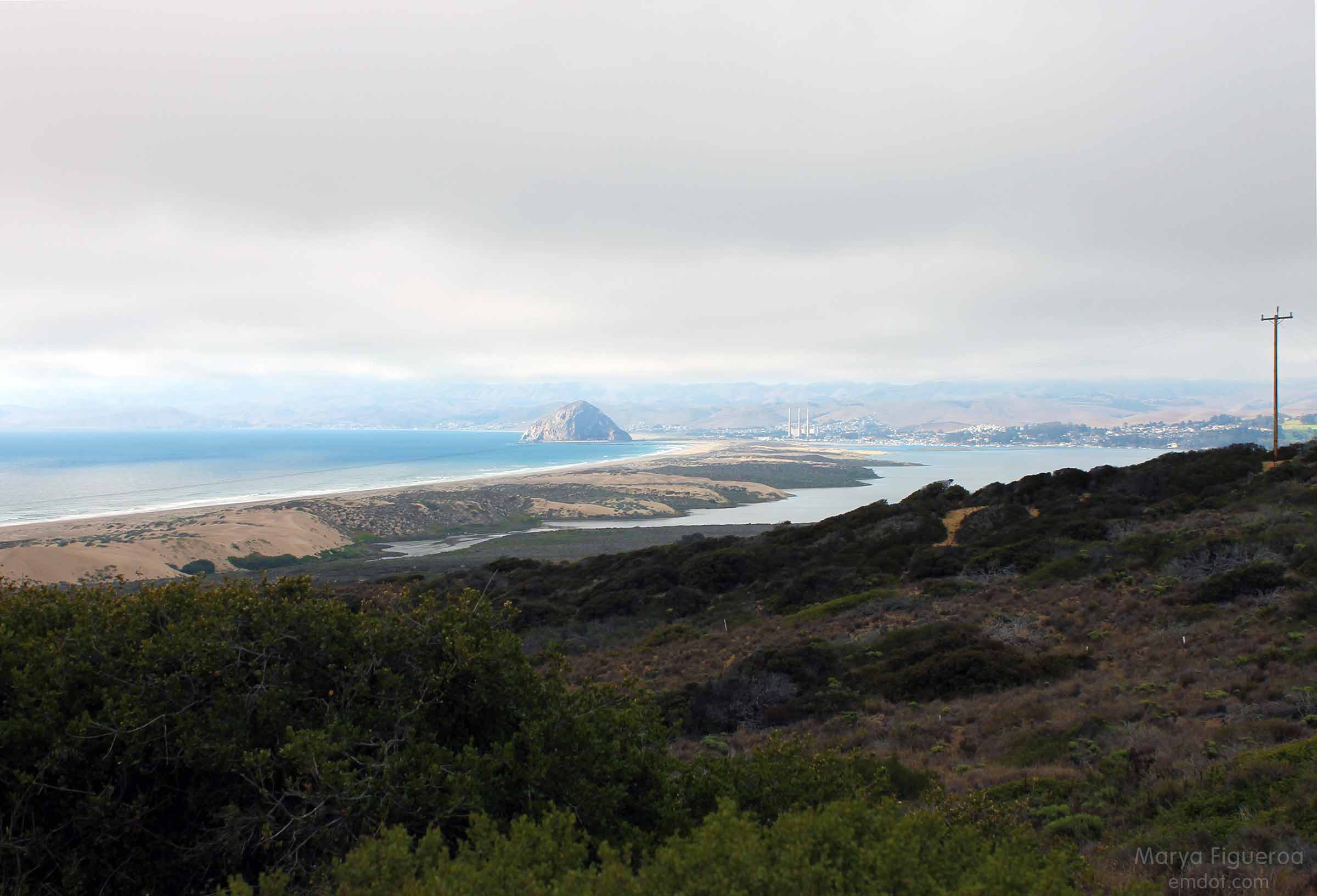
A couple of weeks ago we hiked Point Buchon at the south end of Montana de Oro. On the way home we were wowed by the view below — the long sand bar that reaches from MdO in Los Osos to Morro Rock in Morro Bay.
The next week Steve suggested we head out there. I thought we would do the hike that took us from Pecho Valley Road to the beach and hang out for a while. Maybe walk for a bit. I had no idea that Steve intended to walk the full length and back. I would have brought some water.
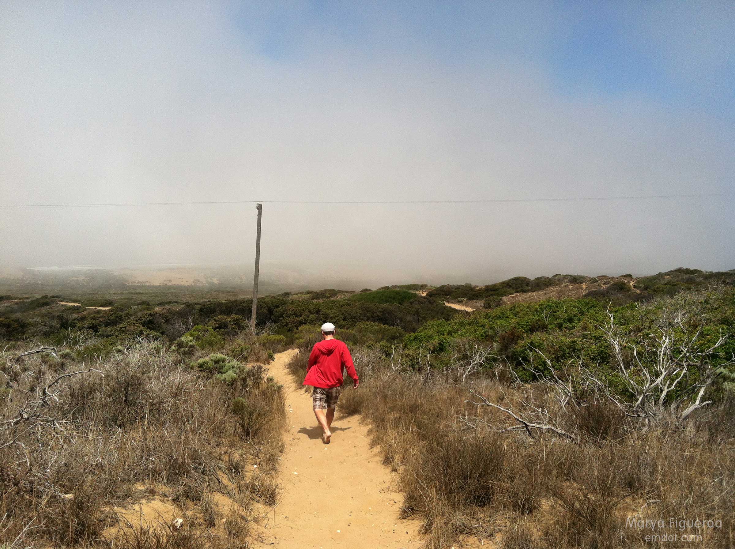
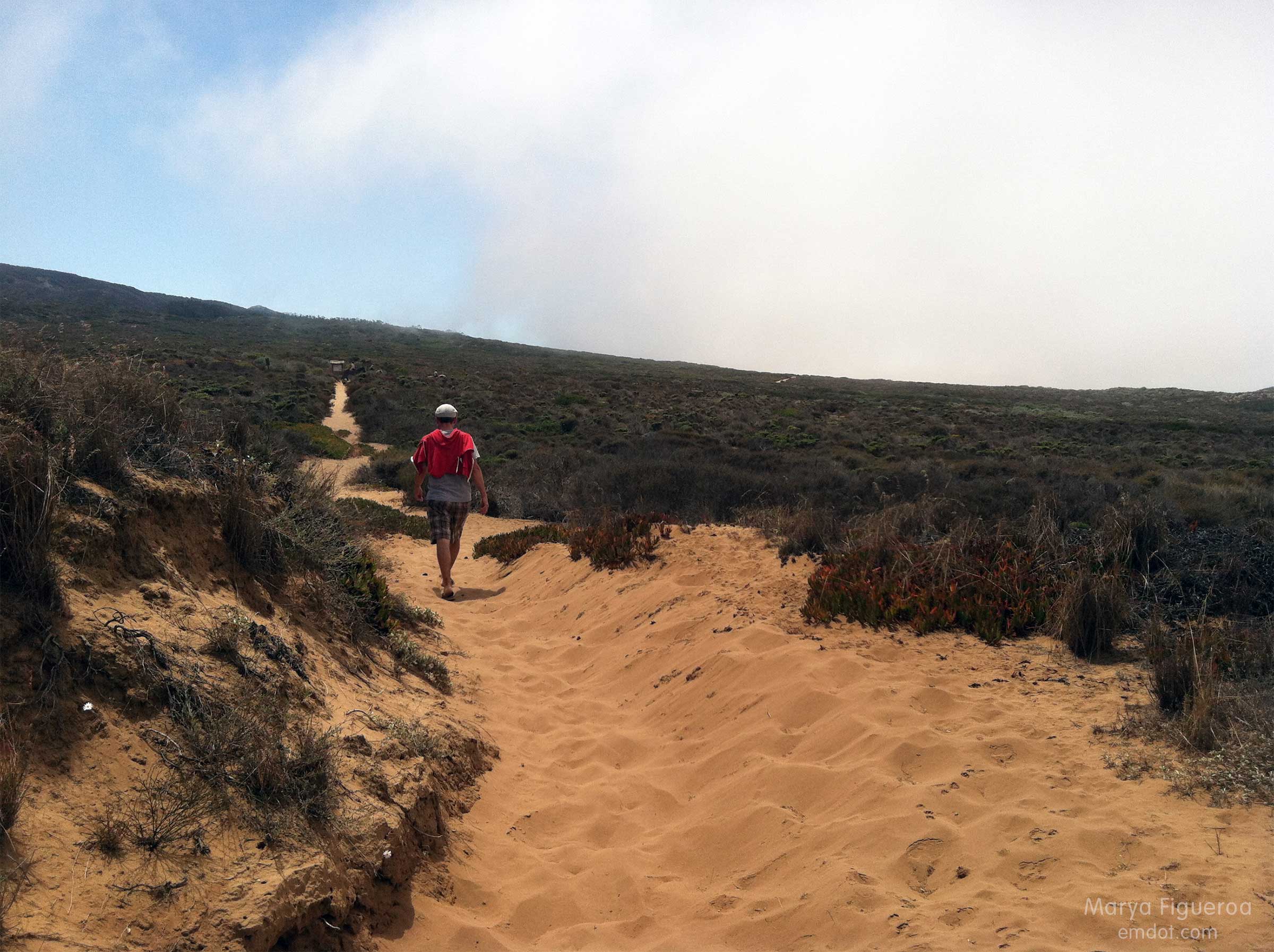
This post documents the walk from Pecho Valley Road to the beach which has several side trails (see below). We kept our momentum westward.
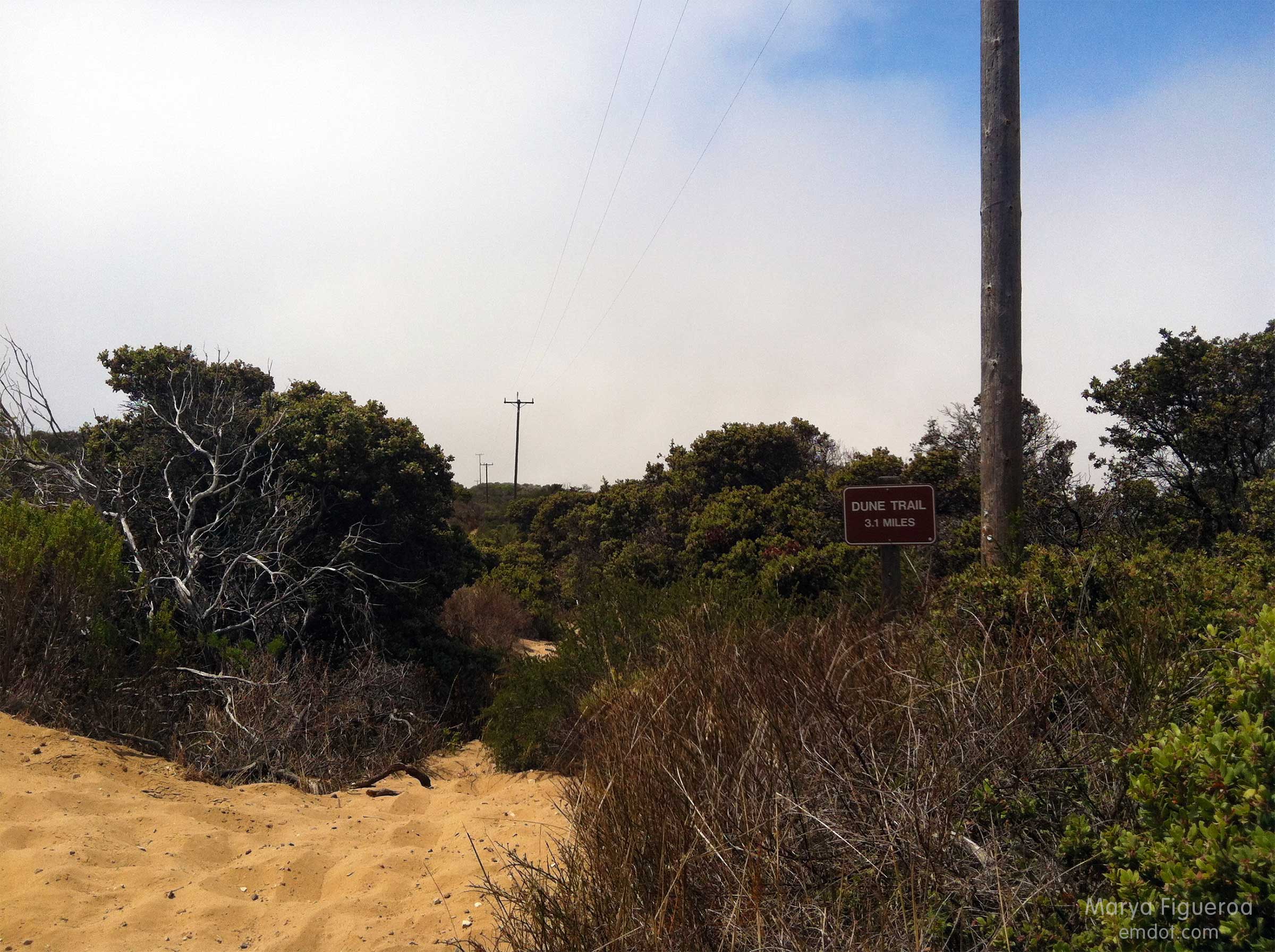
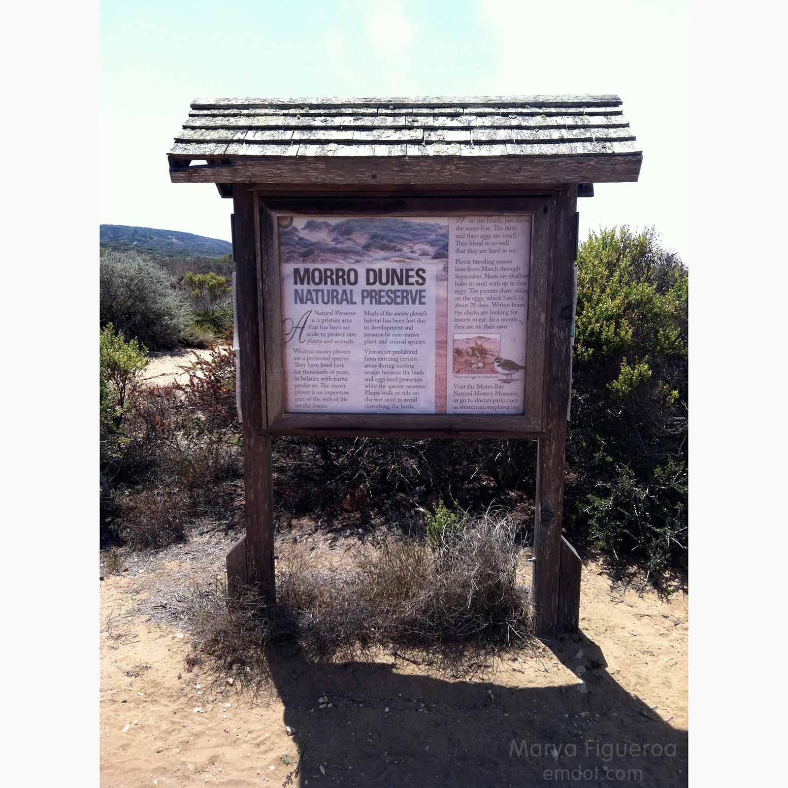
Much of the sandy/dune area is protected. A small fire blazed through here a few years ago, leaving it even more delicate (sand dunes and the surrounding flora are fragile things).
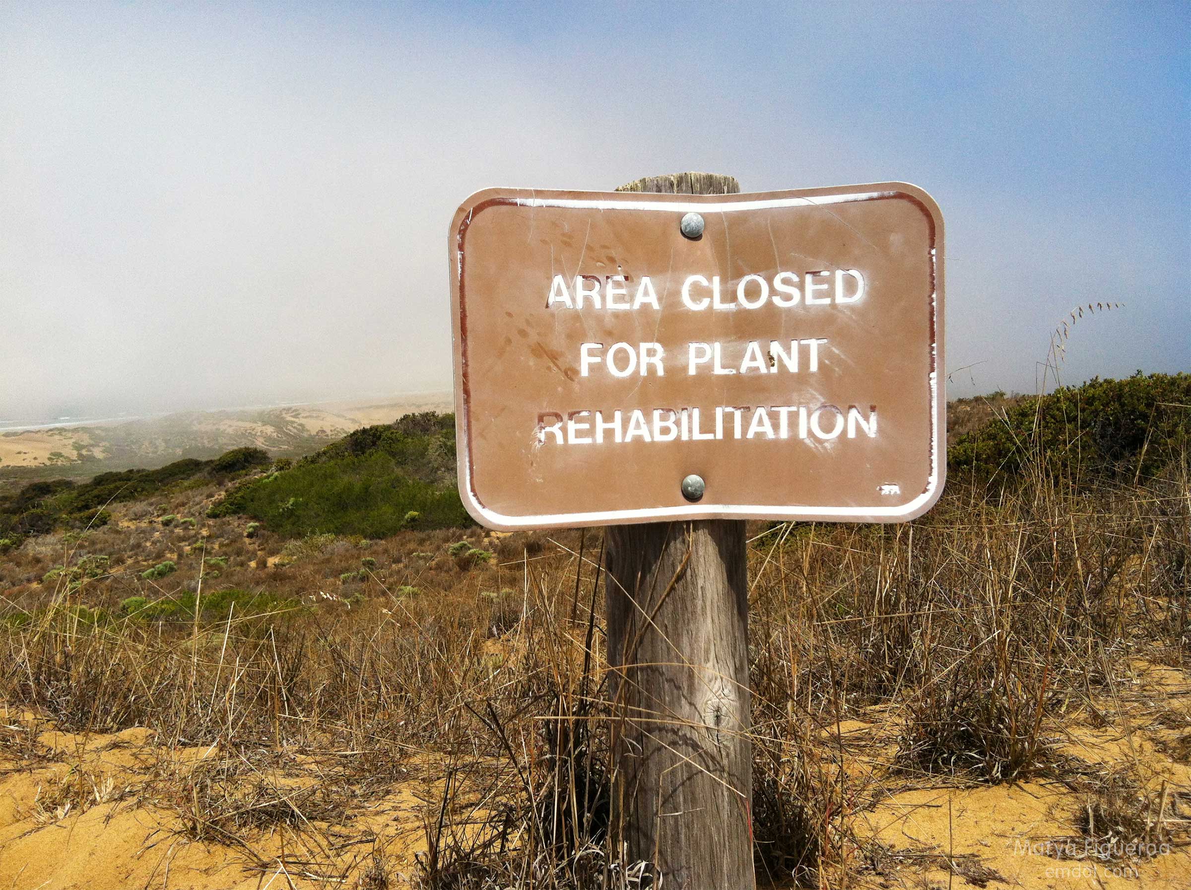
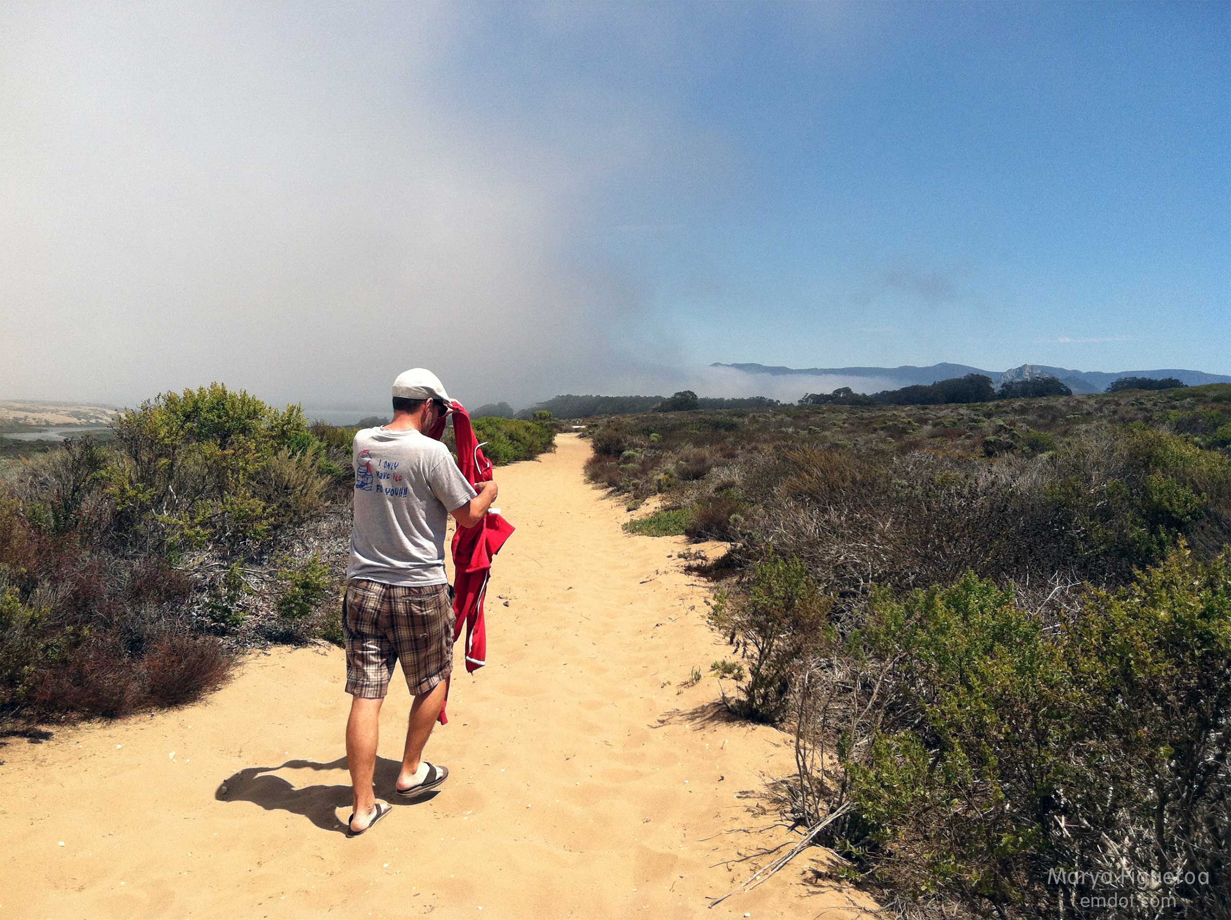
The fog rolled in and out. Sweatshirts came off and then back on several times.
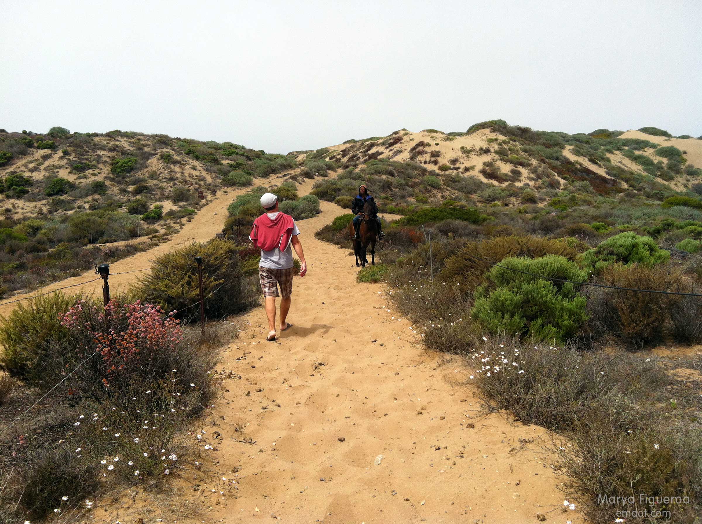
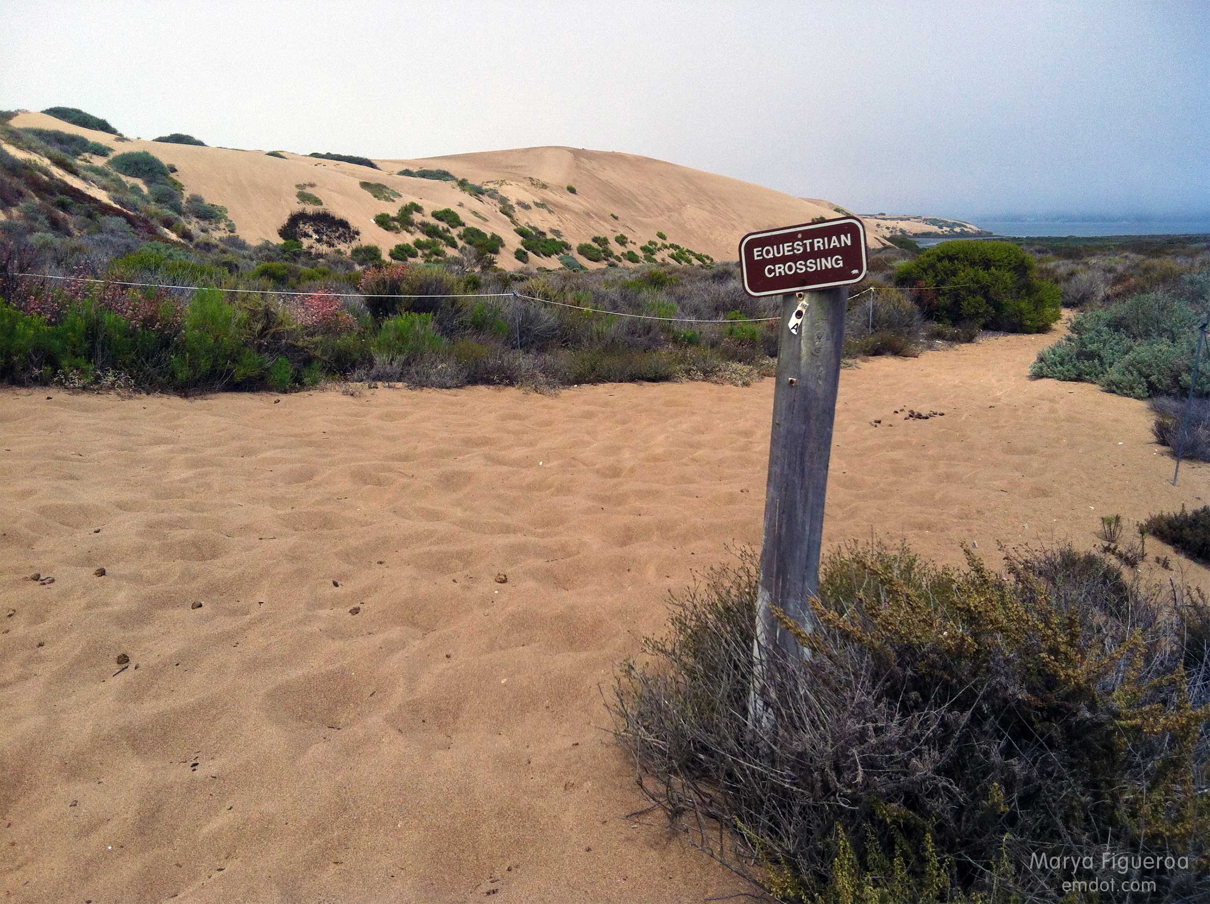
While walking to the beach the only people we saw were on horseback.
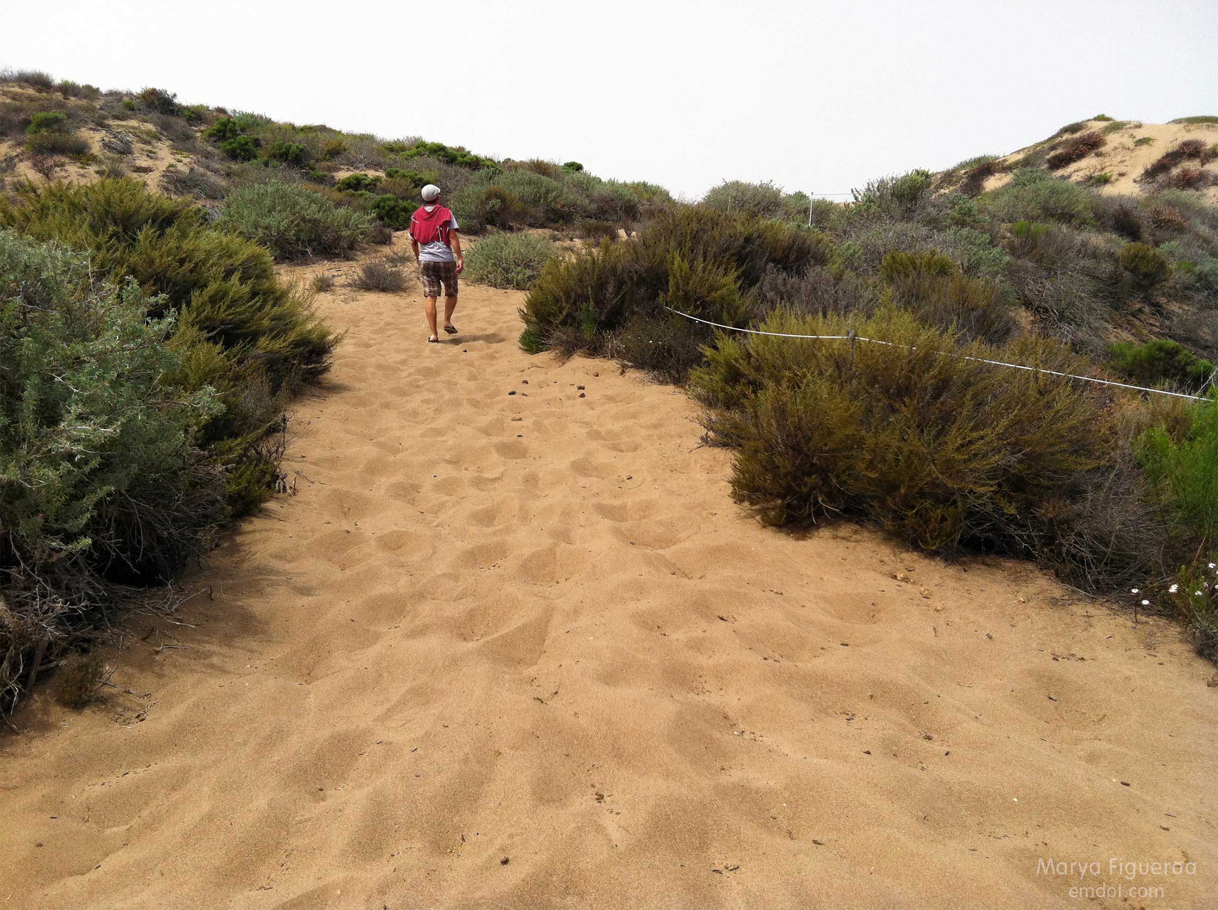
The loose, deep sand carried us all the way to the ocean’s edge. The trail at the beginning of the hike was mixed with leaves and (very small) brittle sticks. Later it turned to silty sand and sharp shale. At the dune it morphed to more traditional sand, but with an awkward and aging black substrate (that I presume was) laid down to fortify the trail base. It was quite sharp and stuck out of the ground at odd angles.
We wouldn’t take off our shoes until we hit the shoreline.
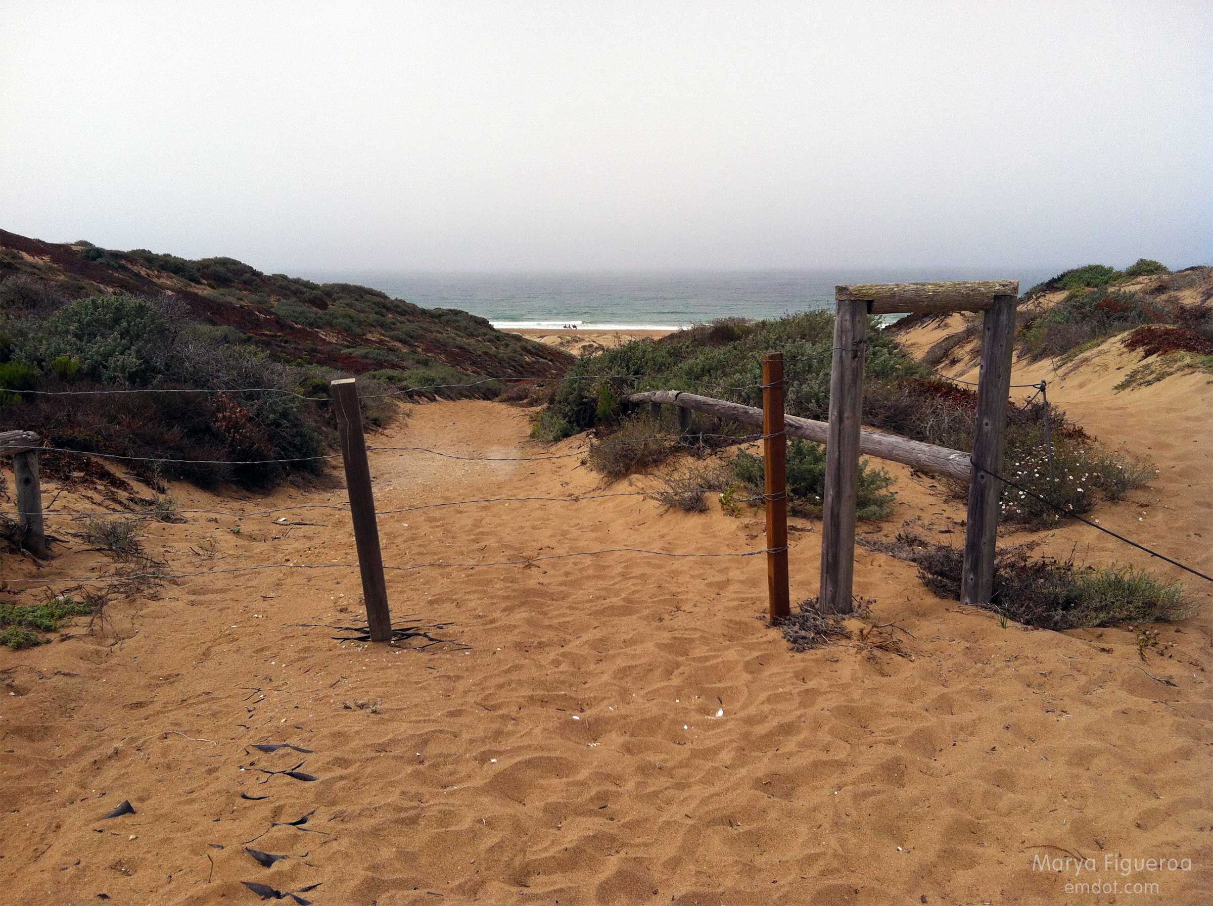
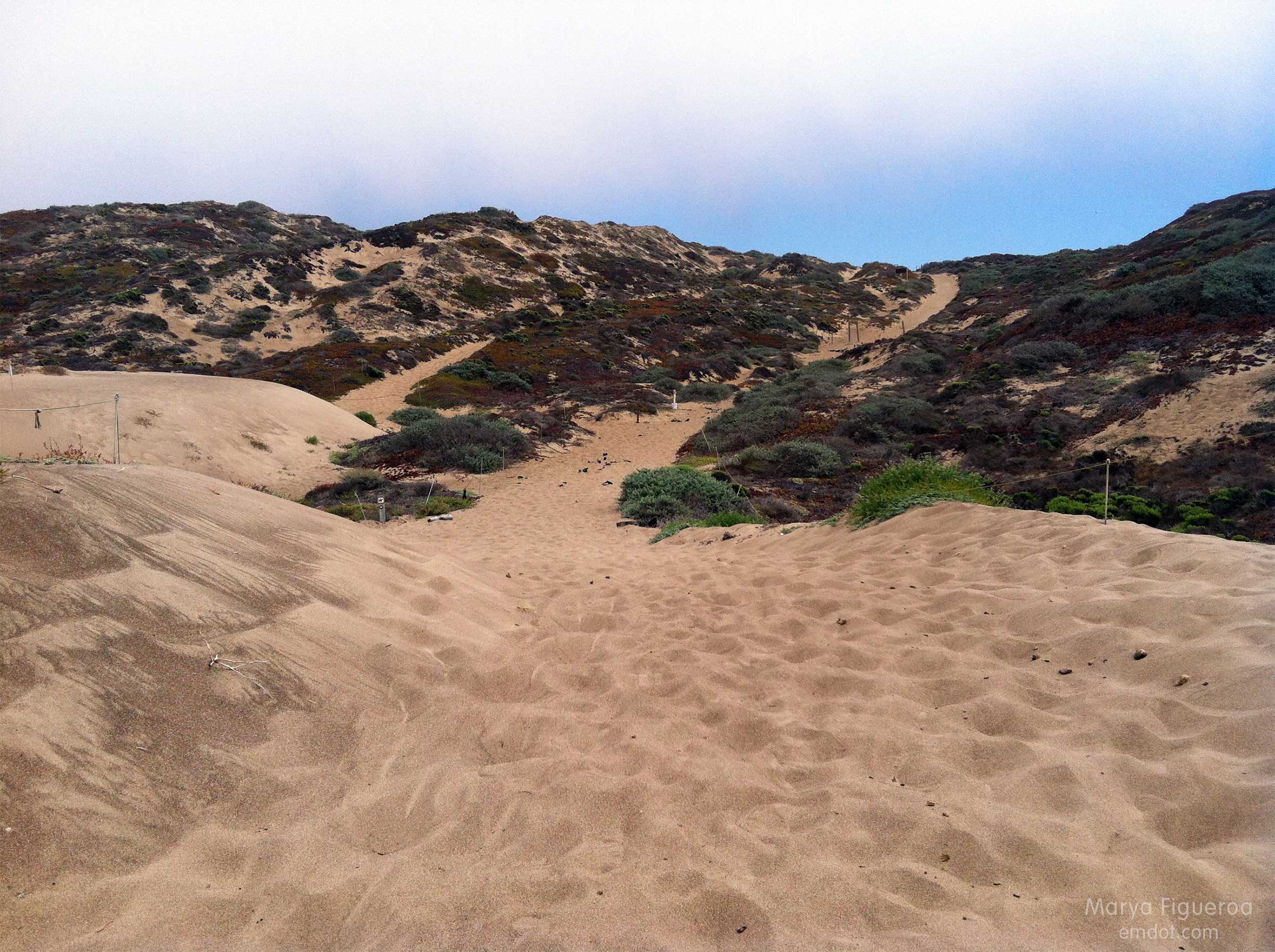
Photo below: At the bottom of the dune on the beach side, looking back up the trail we had just finished.
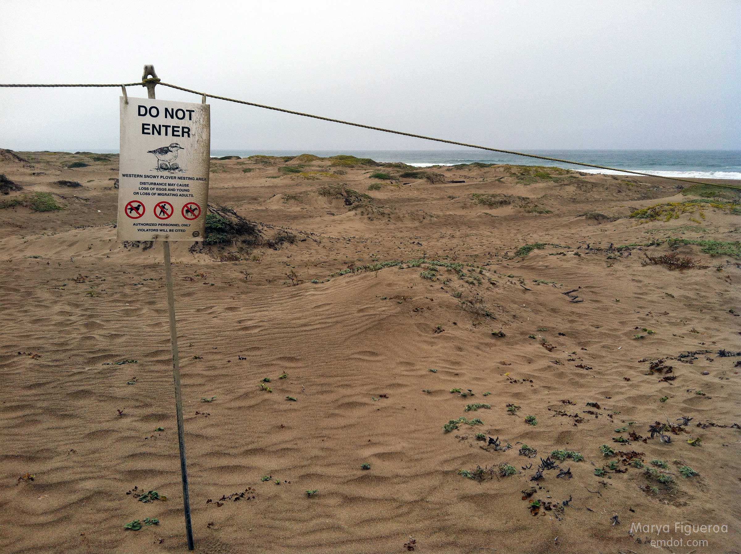
Snowy plovers are adorable, small shorebirds that lay their eggs IN THE SAND. How they have survived all these years is a mystery to me. The central coast takes great care in protecting these cute creatures. Most of the dunes are off limits for many months every year.
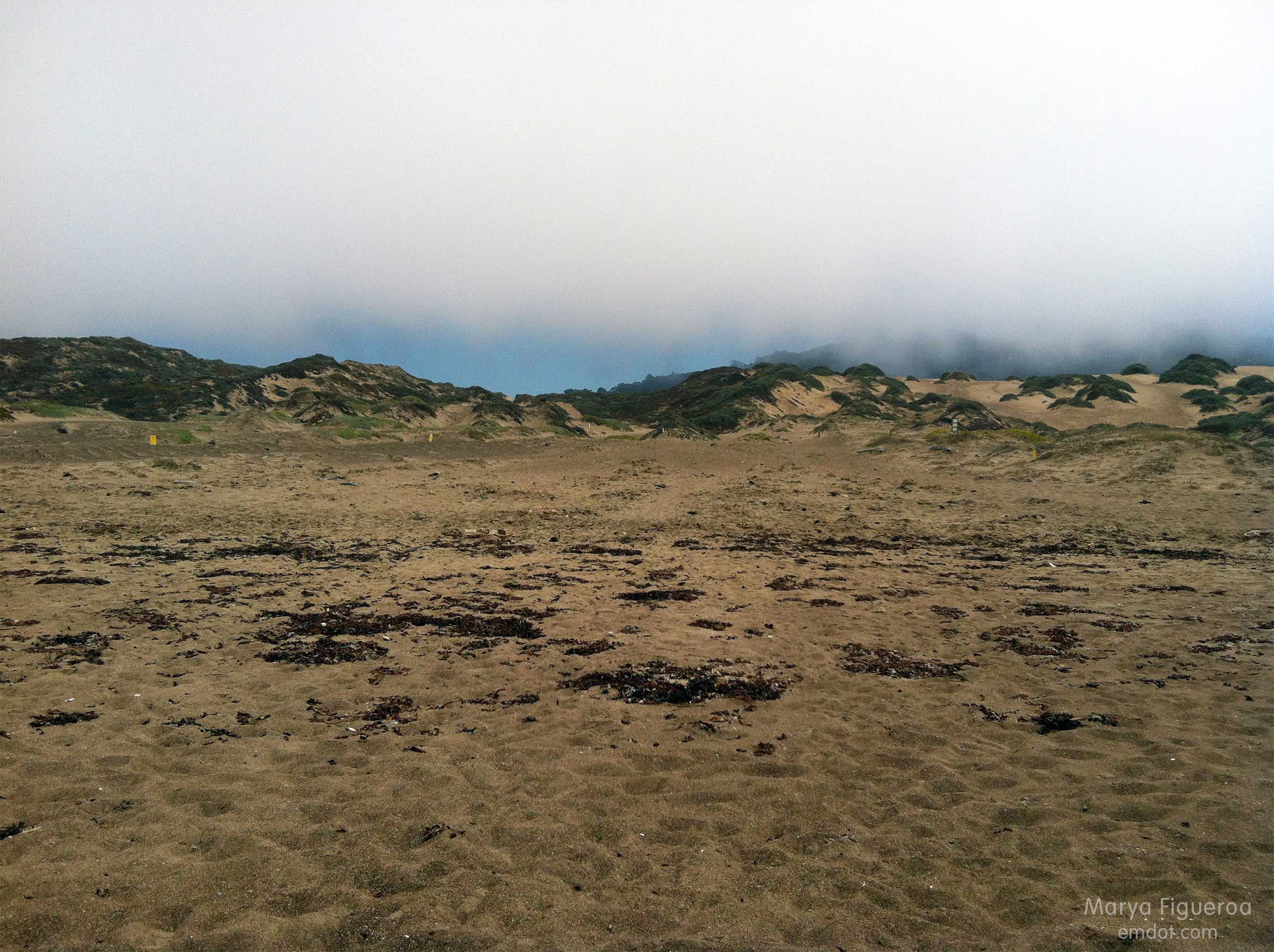
Once we made it to the beach, the big question became “how will we find the trail entrance when we return?” Because: seen one sand dune, seen them all (seriously). Plus it was foggy — we couldn’t see much landscape characteristics in the background. I took the photo below to help us identify our point of entry later. Steve also marked the spot with a big pile of purposefully placed seaweed (not shown).
Luckily, in the end, we did find our place to hike back. By that time we had eight miles under our belts, Steve’s shoes were causing large welts and blisters, and I was tired, hungry and thirsty. Let’s just say we both kept our heads down and our feet moving forward til we got back to the car.
Then, as luck would have it, some friends were just driving by our car (visible from the road) when we got back. They stopped and shared water, tangerines, deviled eggs and cameraderie. What are the chances? They had been picnicking out at Spooner’s Cove. Man, I was happy to see them. I wish I’d had my wits about me to take their photo, but at that time I was exhausted and wilted. :) Still: thank you Kristin! Thank you Bret! It was a great way to end the day.
