Sand Spit Saturday

sand spit view of Morro Rock
Week 24. August 17th.

steve on the beach
The Sand Spit runs four miles or so from Montana de Oro to the Morro Bay Harbor Mouth. Steve and I walked its length and back on a day that danced from socked-in wet fog to bright blue skies.

birds
Due to a plethora of washed up rock crab, sand crabs, and near-shore sea creatures, there were a ton of birds. Of course gulls, but also Caspian terns, long-billed curlews and cormorants. And whimbrels, willets, plovers, and pelicans.

sandspit_081713_1birds
If you walk this on a sunny day you see Morro Rock looming ahead, getting closer and closer. On our foggy day, we were so socked in we had nothing in front of us except a wide expanse of gray. Gray for days. We had no idea how far we had walked or close we were getting to the Rock.

This is not a complaint.

When we finally caught a glimpse of the Rock, it was pretty exciting.

low glimpse of the rock
And then, just like that: the fog lifted. And I found a pelican feather.

me with my pelican feather

the rock

the stacks

looking out to sea

tern

sand dollar

beach24


Beach Feet

Many birds on the beach
There were a ton of birds on the beach — curlews, whimbrels, willets, plovers, cormorants, pelicans, terns and more gulls than a person could count.

Now, I’m not positive about my bird identification here, but based on what was standing where, I think I got these right.

Below: seagull.

seagull footprints

seagull footprints in comparison with my feet
Below: cormorant.

cormorant footprints

cormorant footprints with my feet in comparison
So much bigger than the gull, right? I didn’t see any pelicans on this part of the beach; could cormorant feet really be that much bigger than a gull?

Below: mystery bird! These are really tiny. I will guess that they are terns (because there were terns everywhere) and they are half-ish the size of the gulls. They could be sandpiper or plovers… but are those little birds heavy enough to even leave a footprint? I still think terns.

mystery prints -- maybe terns? maybe plovers?

Morro Dunes Natural Preserve

sandy path
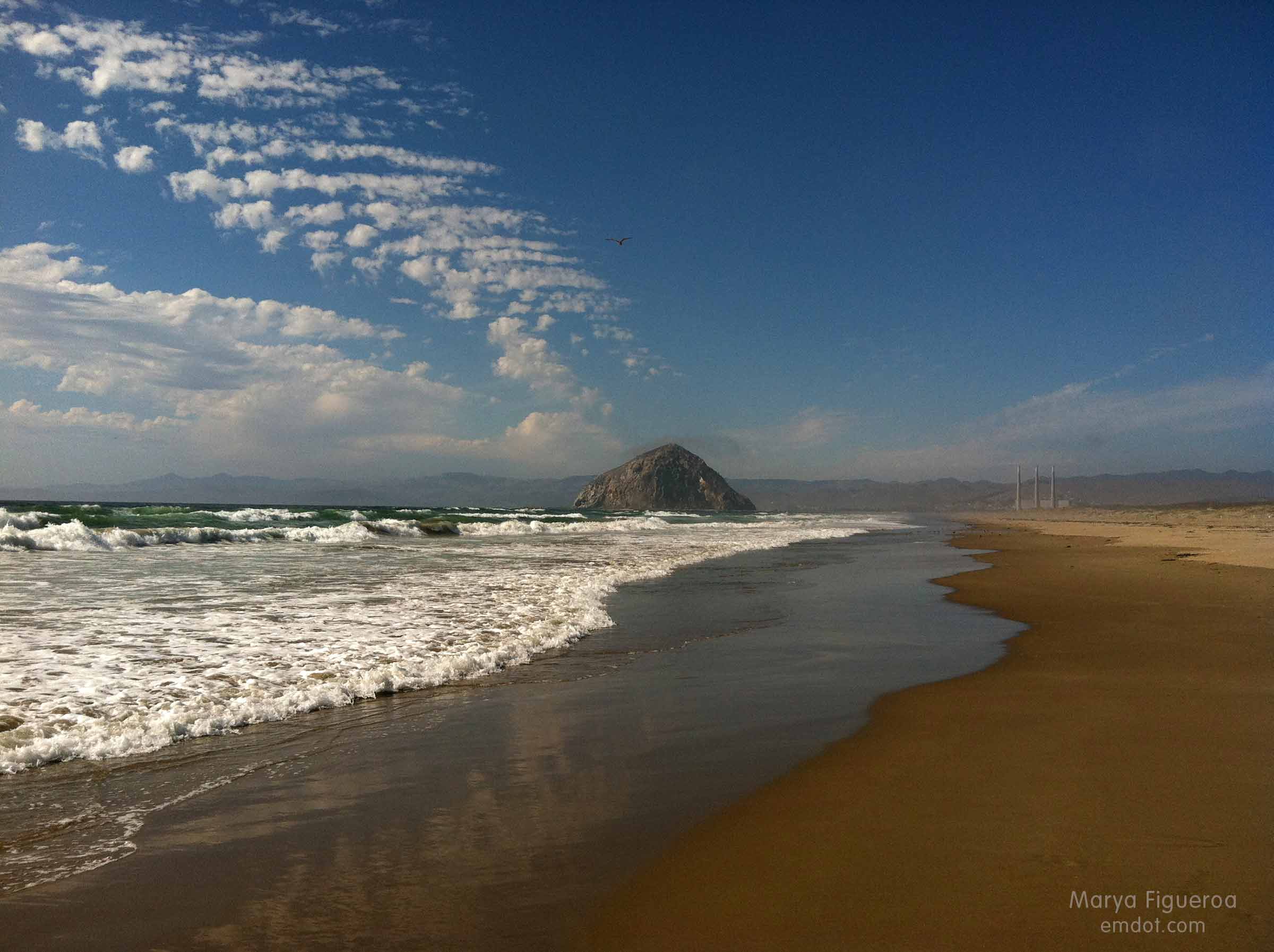
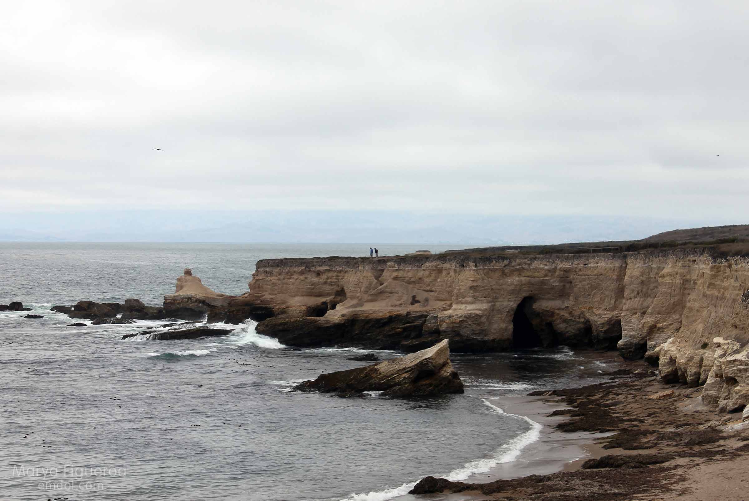
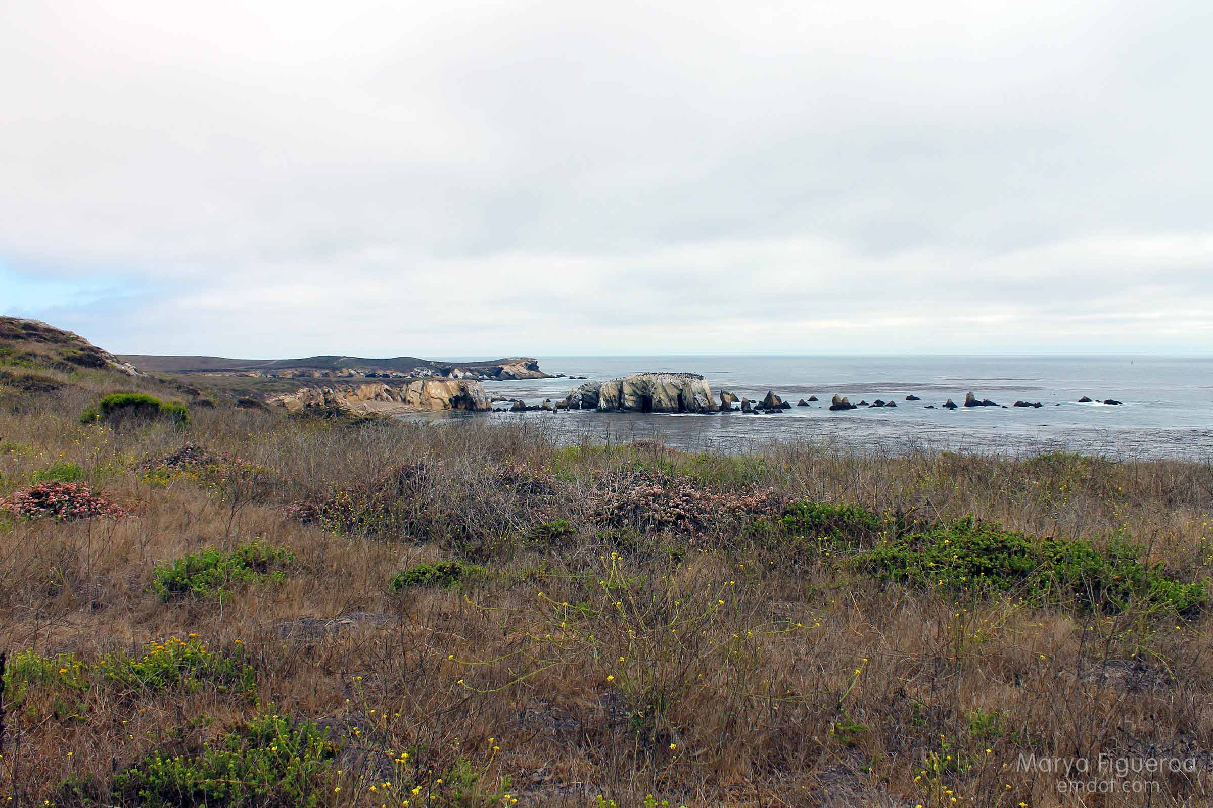
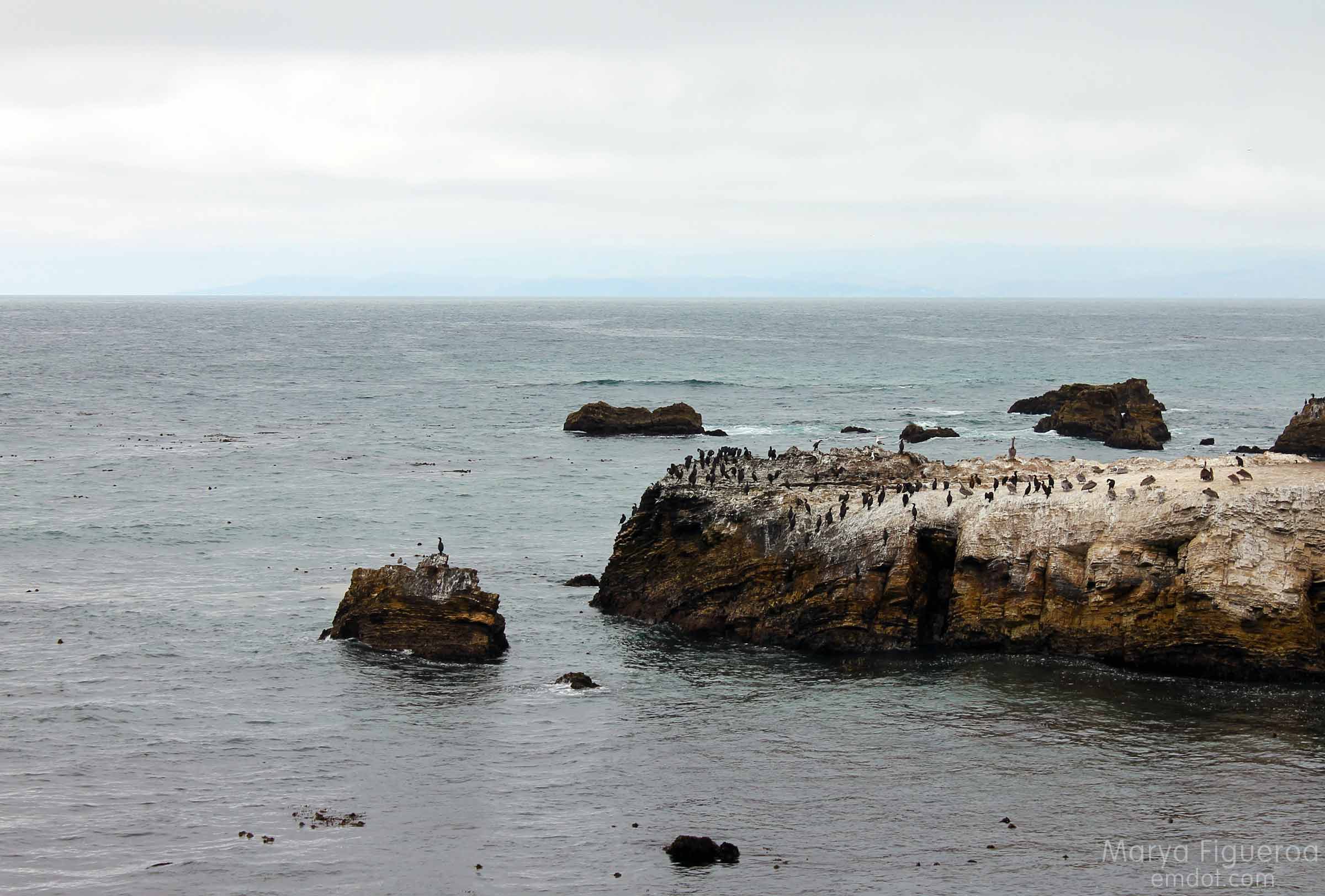
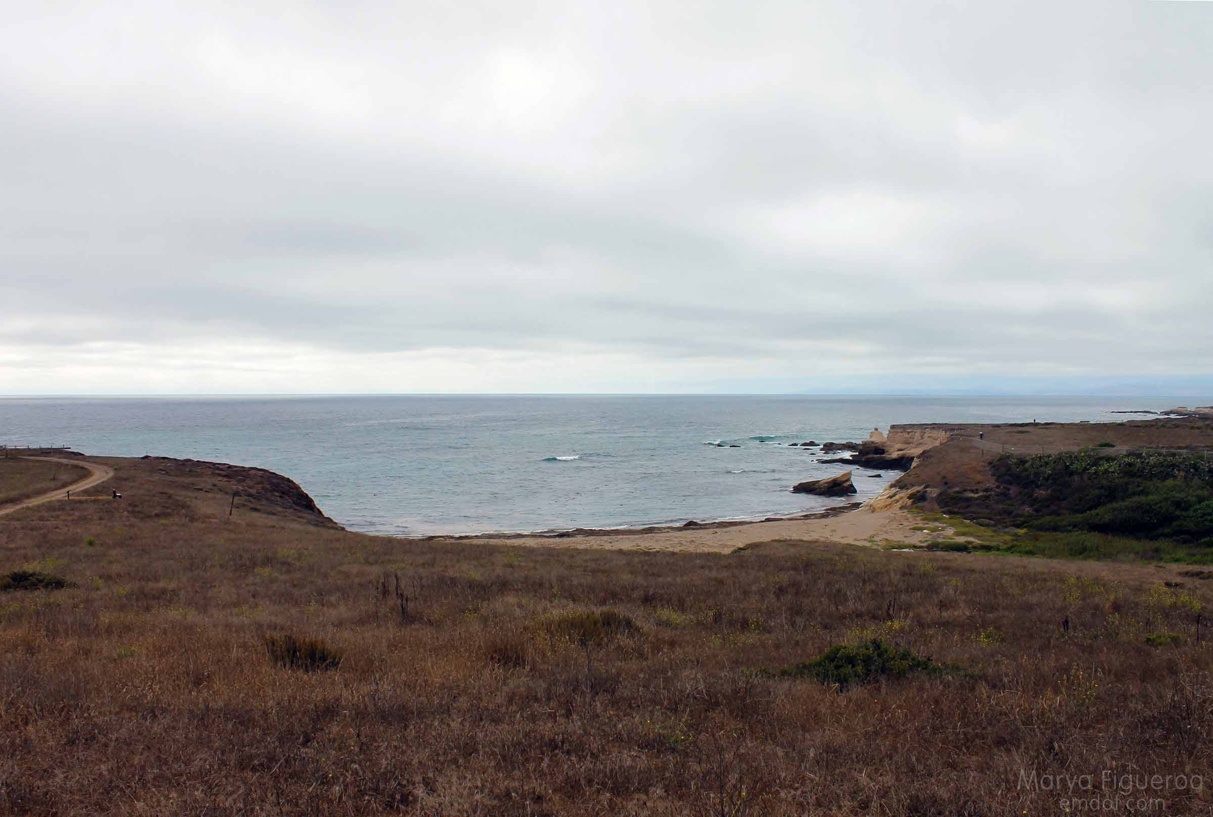
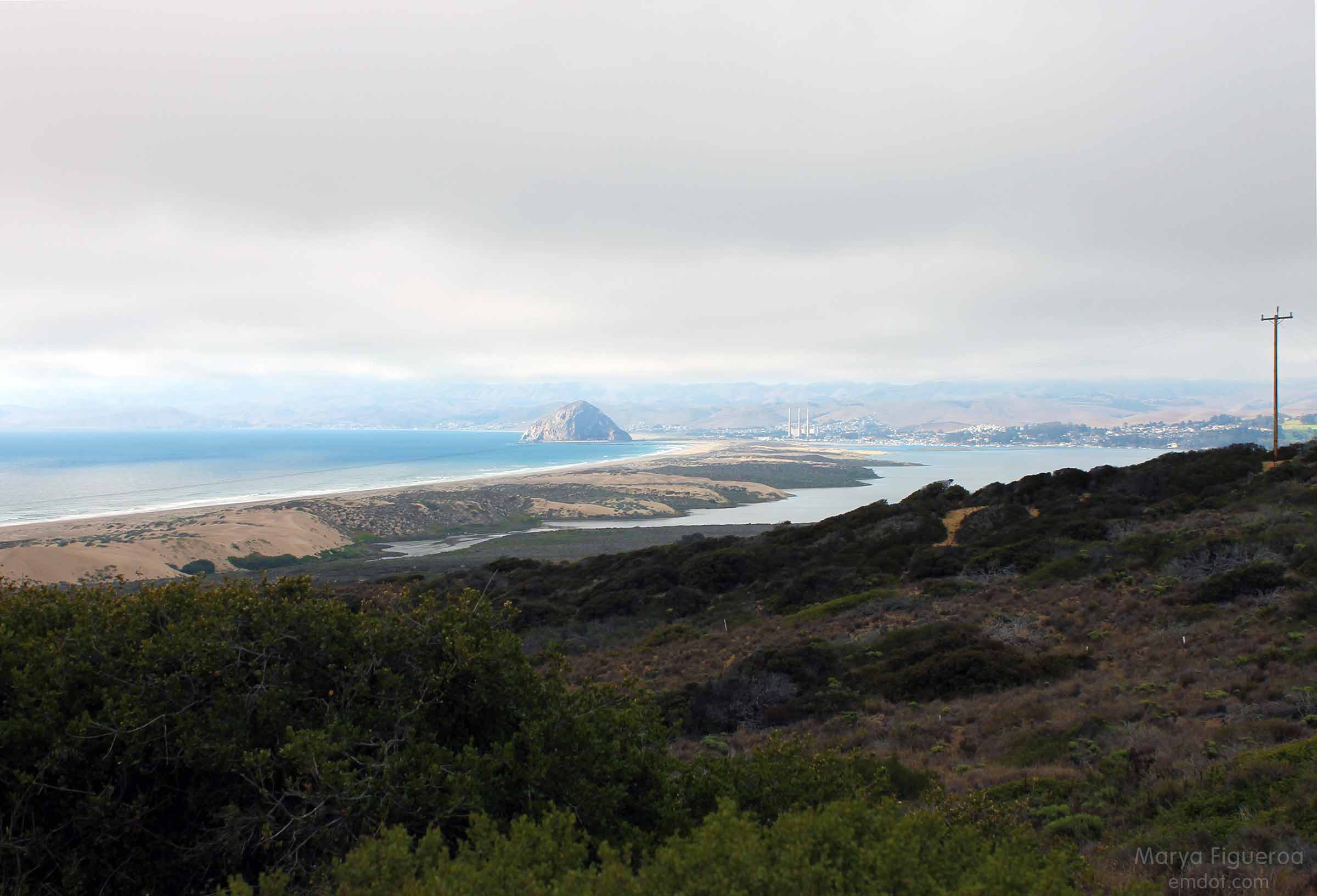
A couple of weeks ago we hiked Point Buchon at the south end of Montana de Oro. On the way home we were wowed by the view below — the long sand bar that reaches from MdO in Los Osos to Morro Rock in Morro Bay.

View of the sand spit all the way to rock
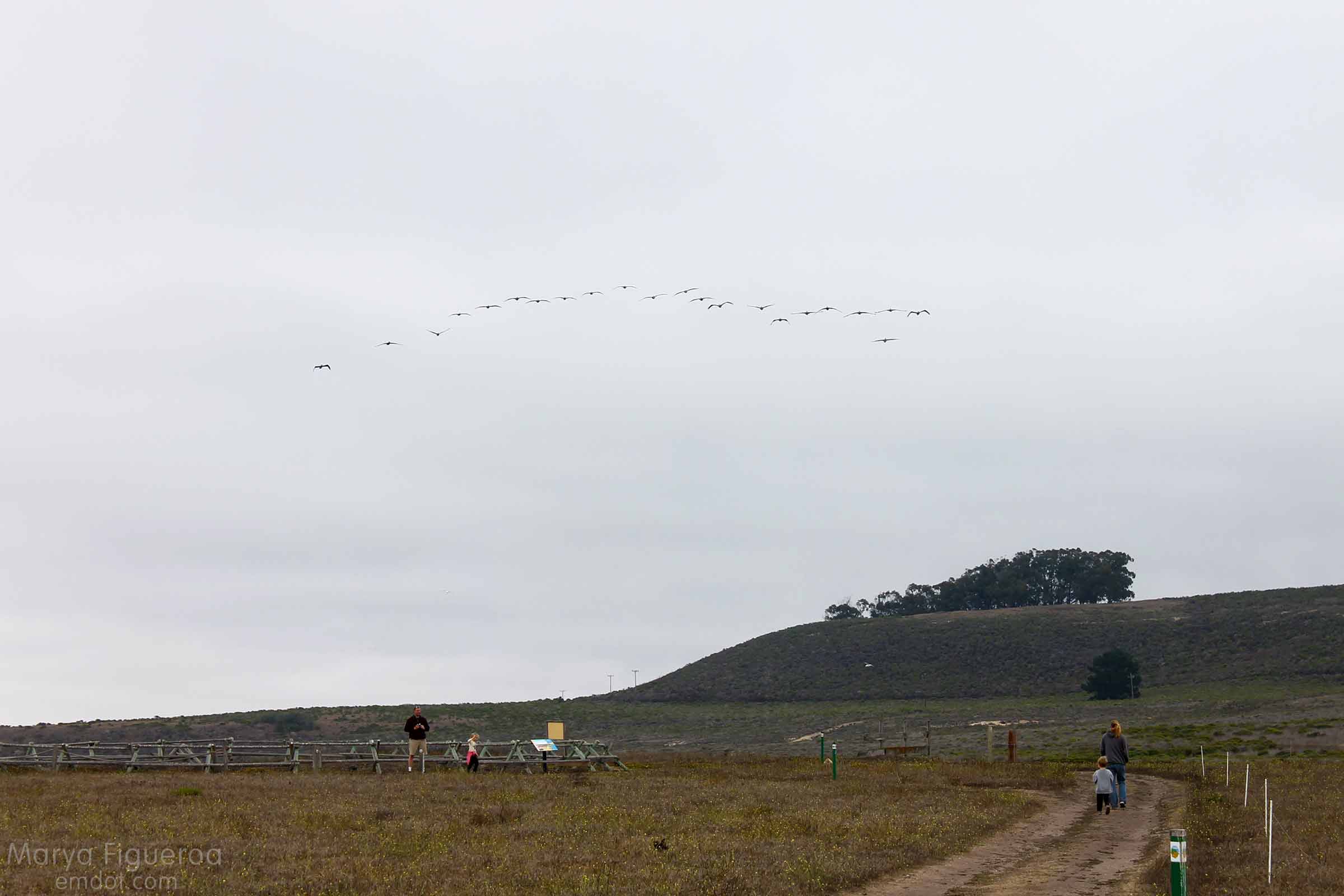
The next week Steve suggested we head out there. I thought we would do the hike that took us from Pecho Valley Road to the beach and hang out for a while. Maybe walk for a bit. I had no idea that Steve intended to walk the full length and back. I would have brought some water.

hiking on the sandy trail
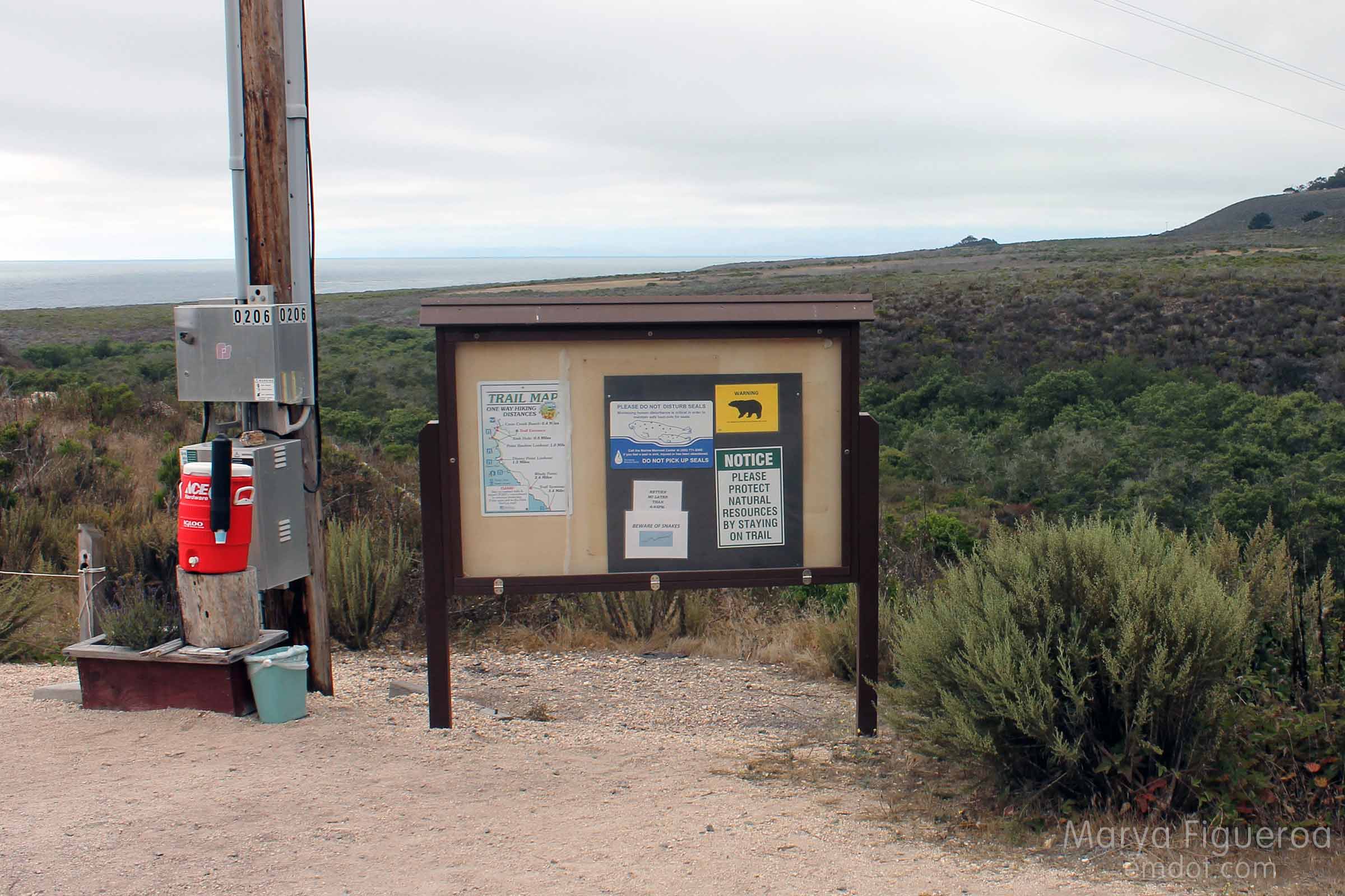
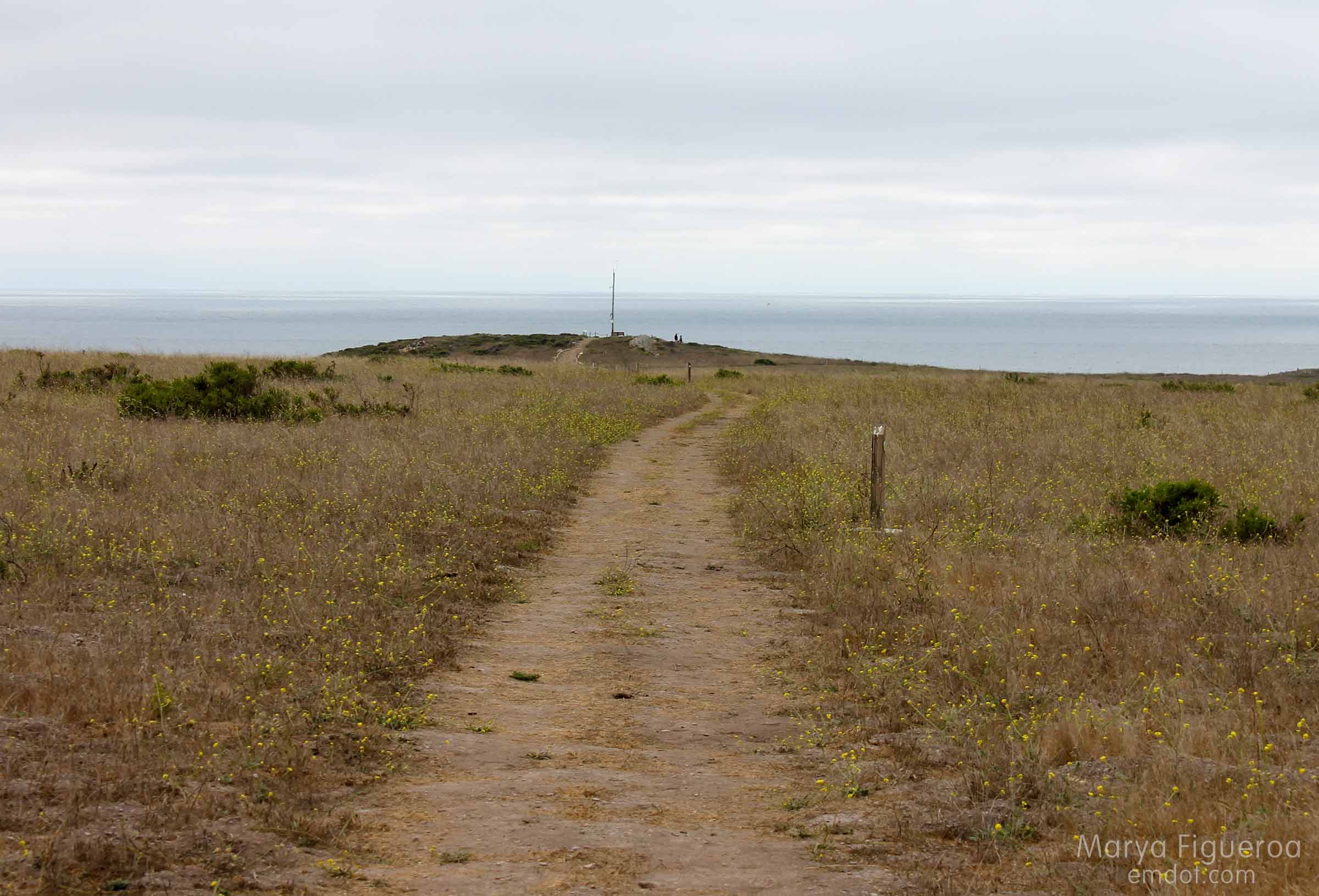
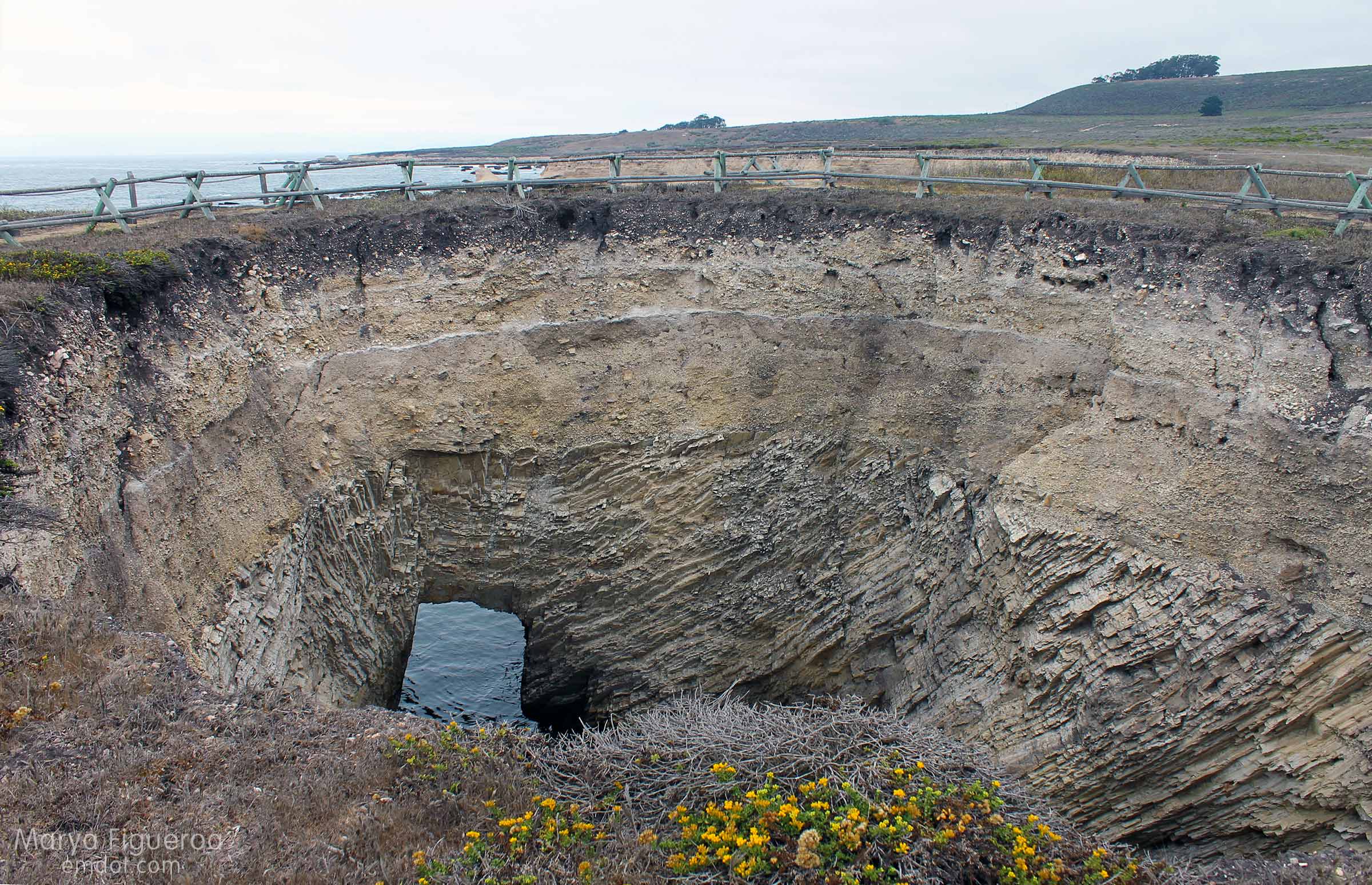
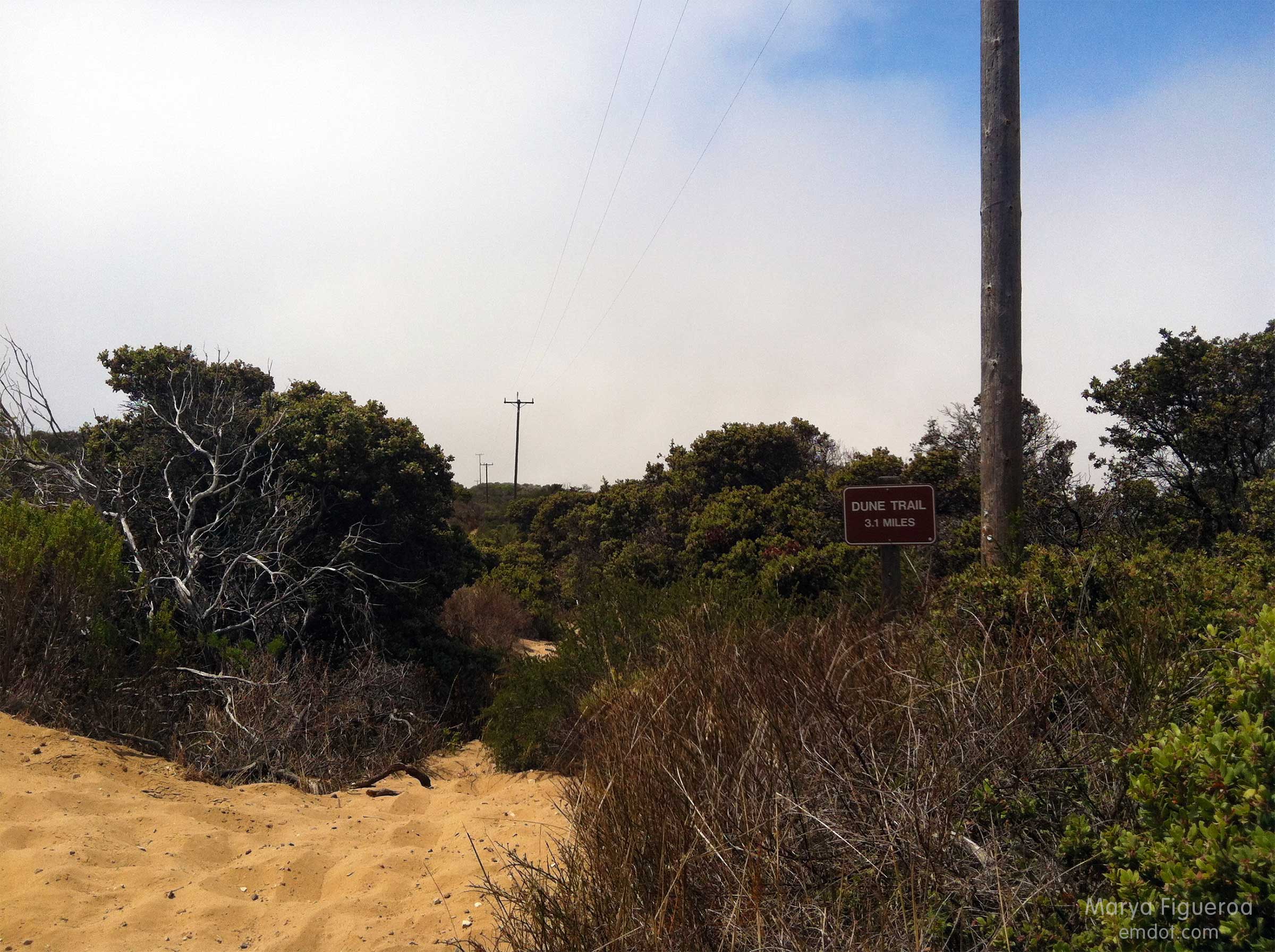
This post documents the walk from Pecho Valley Road to the beach which has several side trails (see below). We kept our momentum westward.

an alternate route
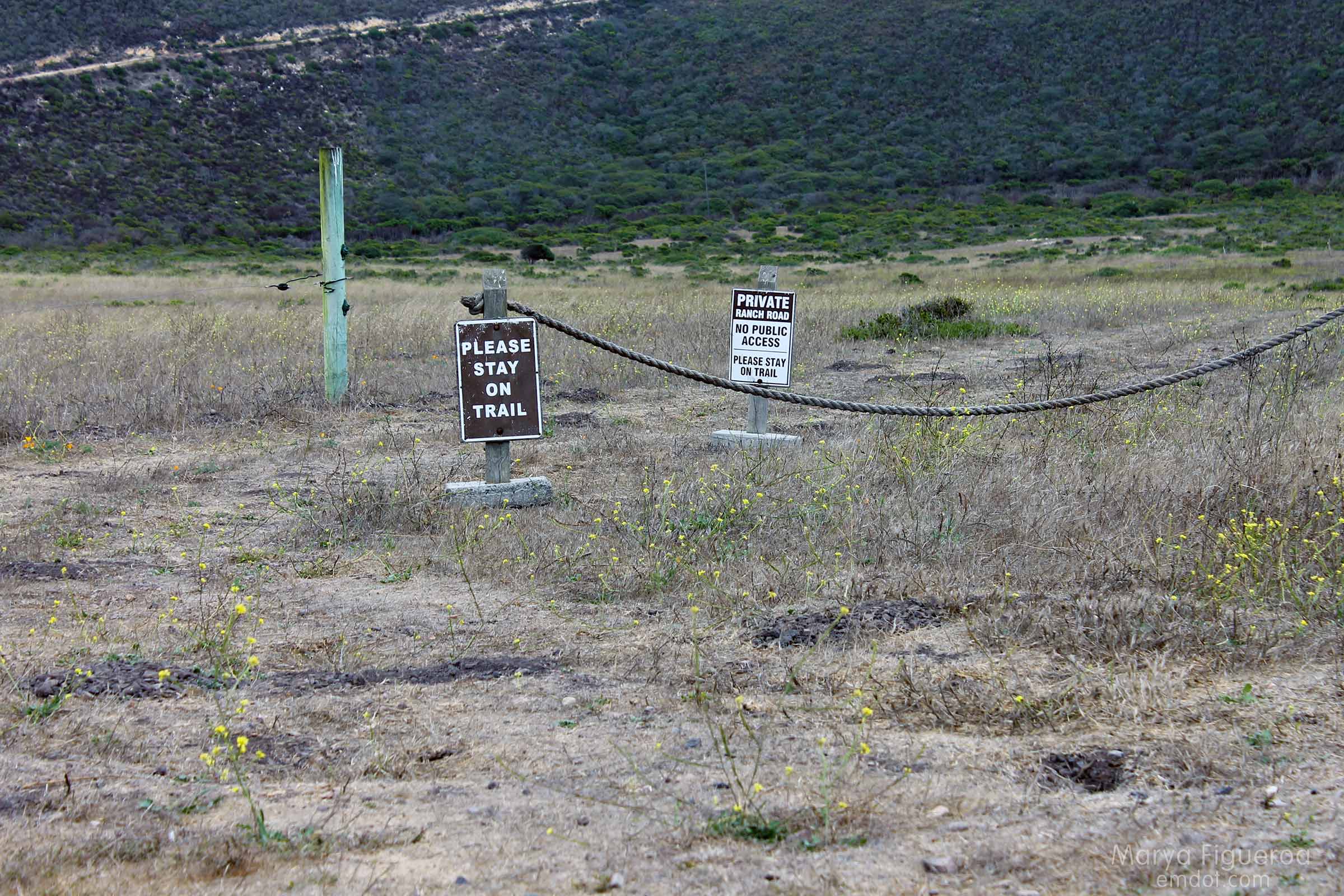
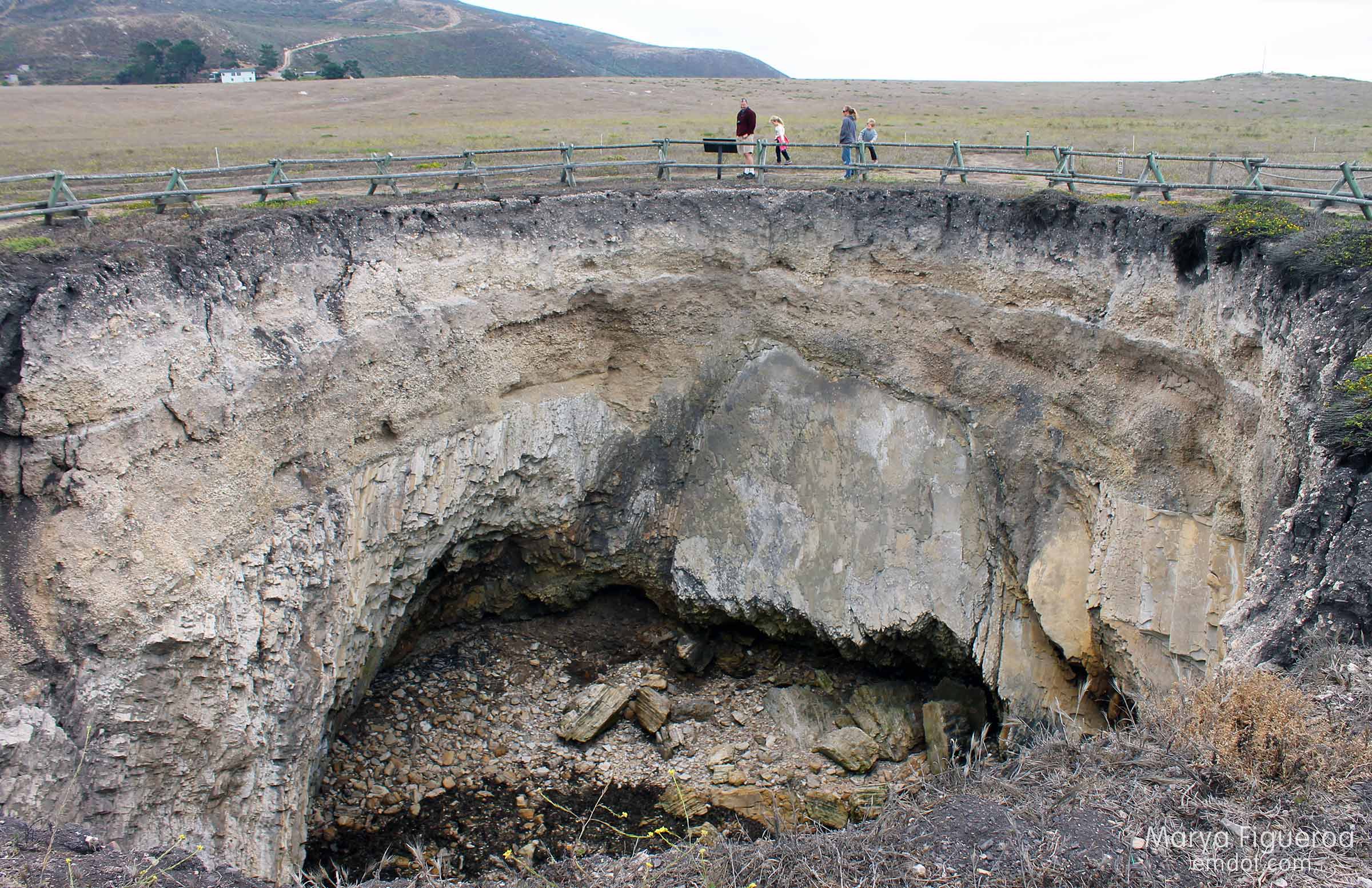
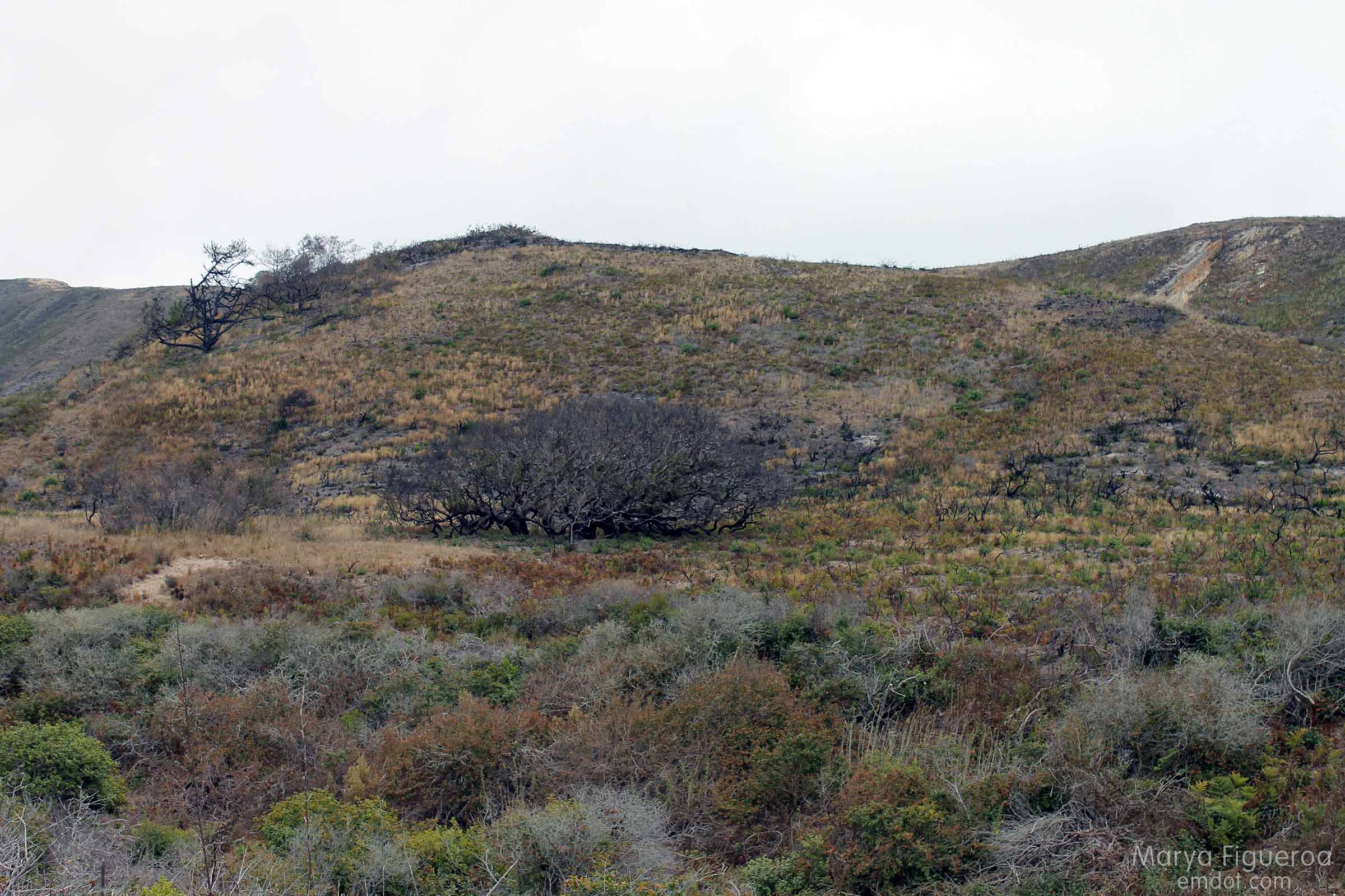
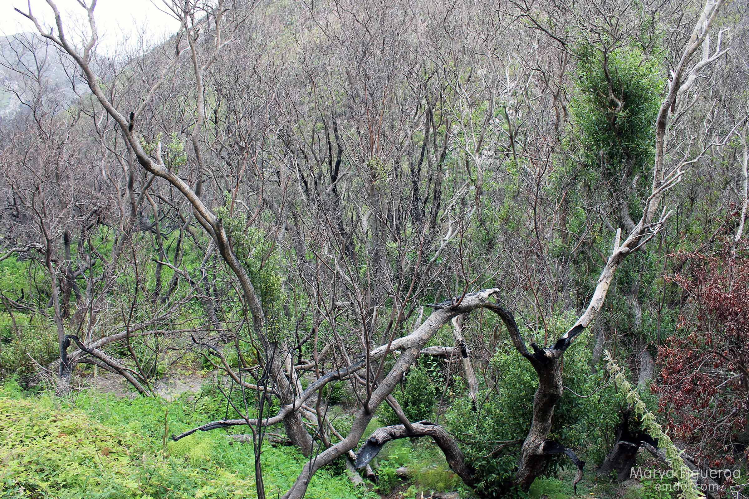
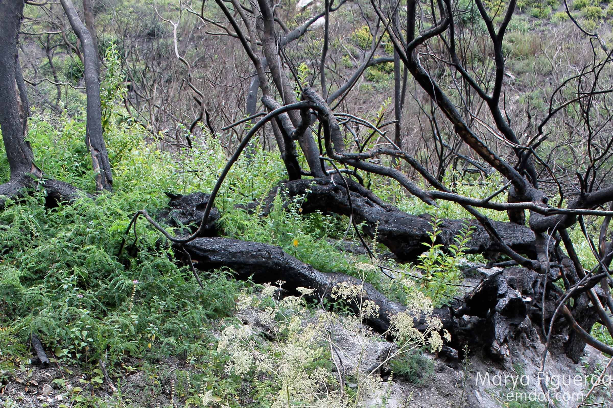
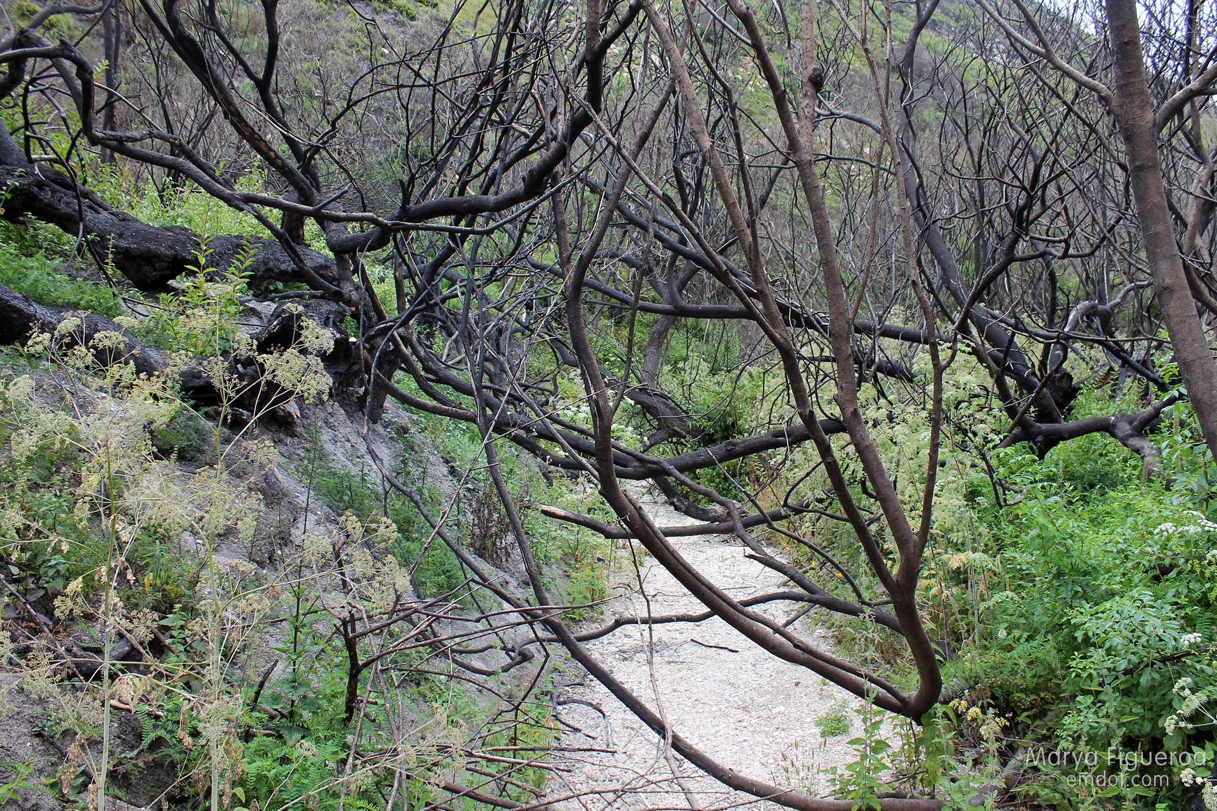
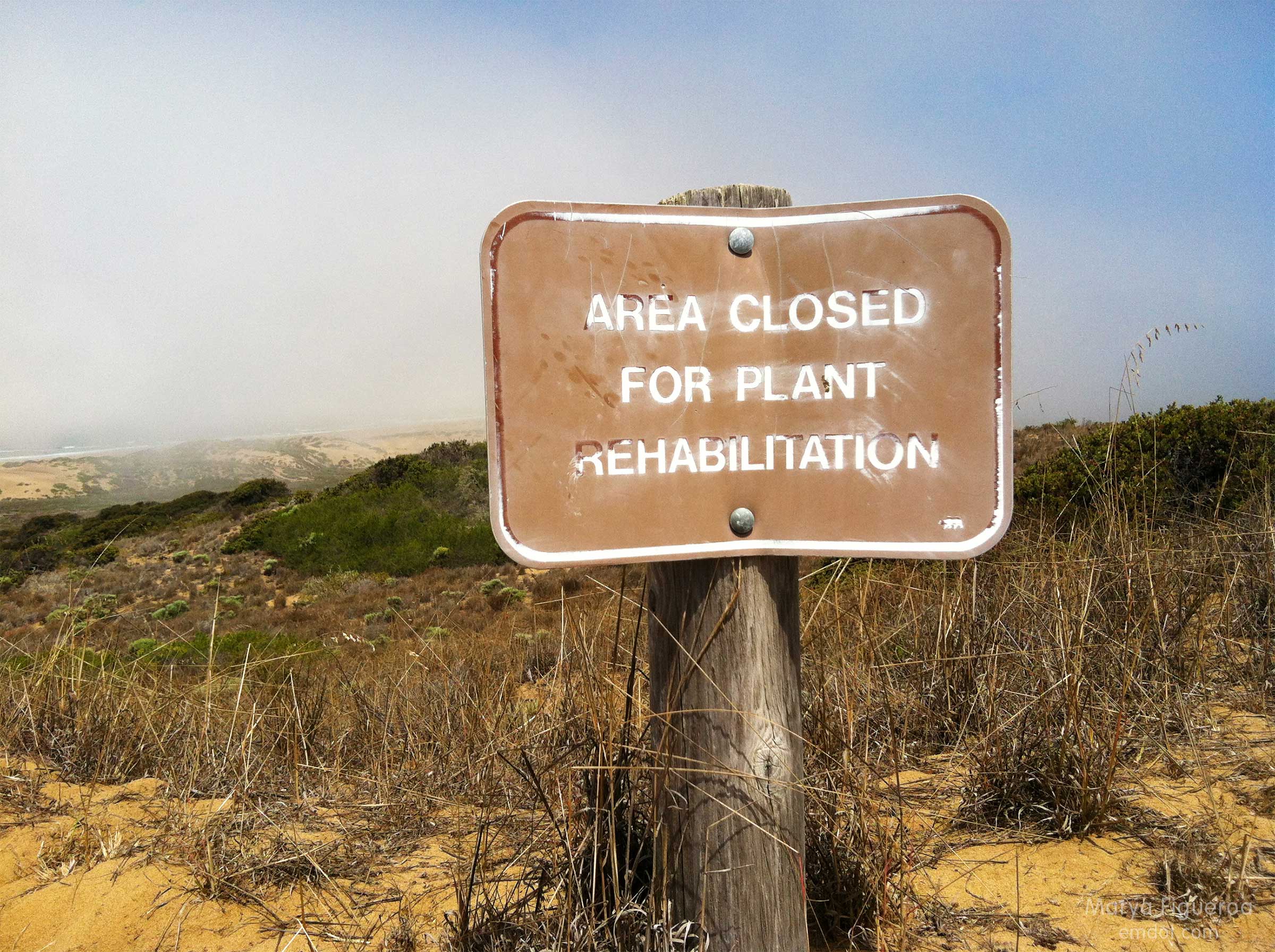
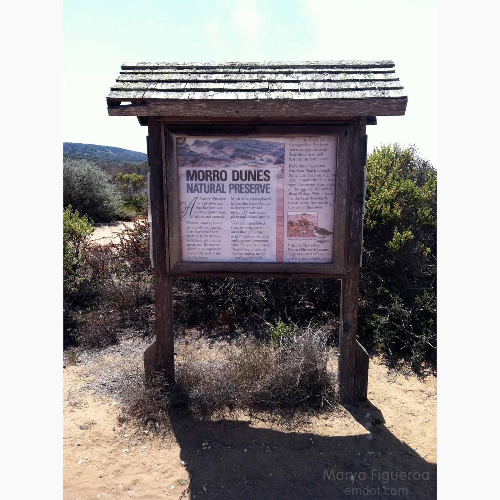
Much of the sandy/dune area is protected. A small fire blazed through here a few years ago, leaving it even more delicate (sand dunes and the surrounding flora are fragile things).

protection
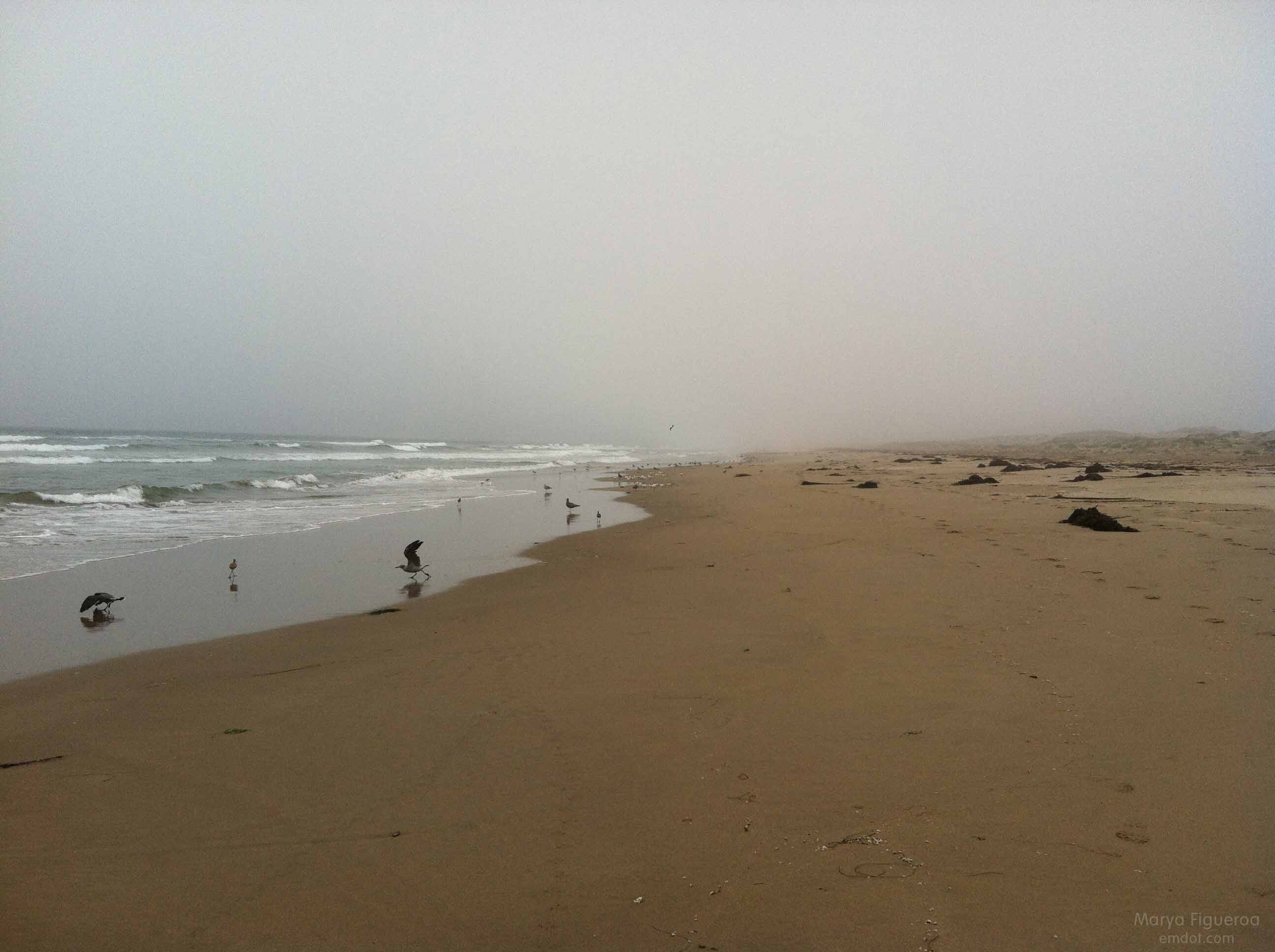
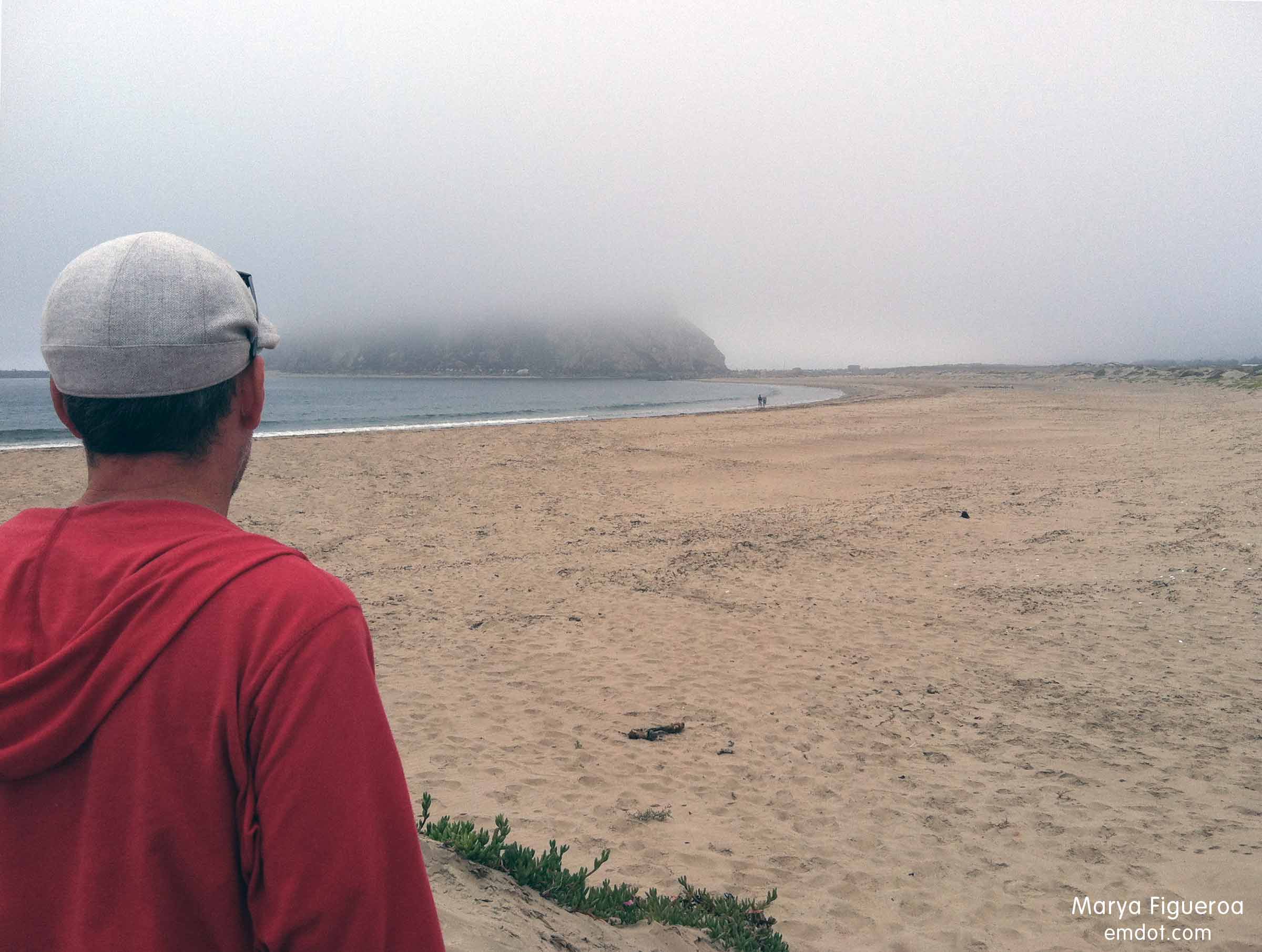
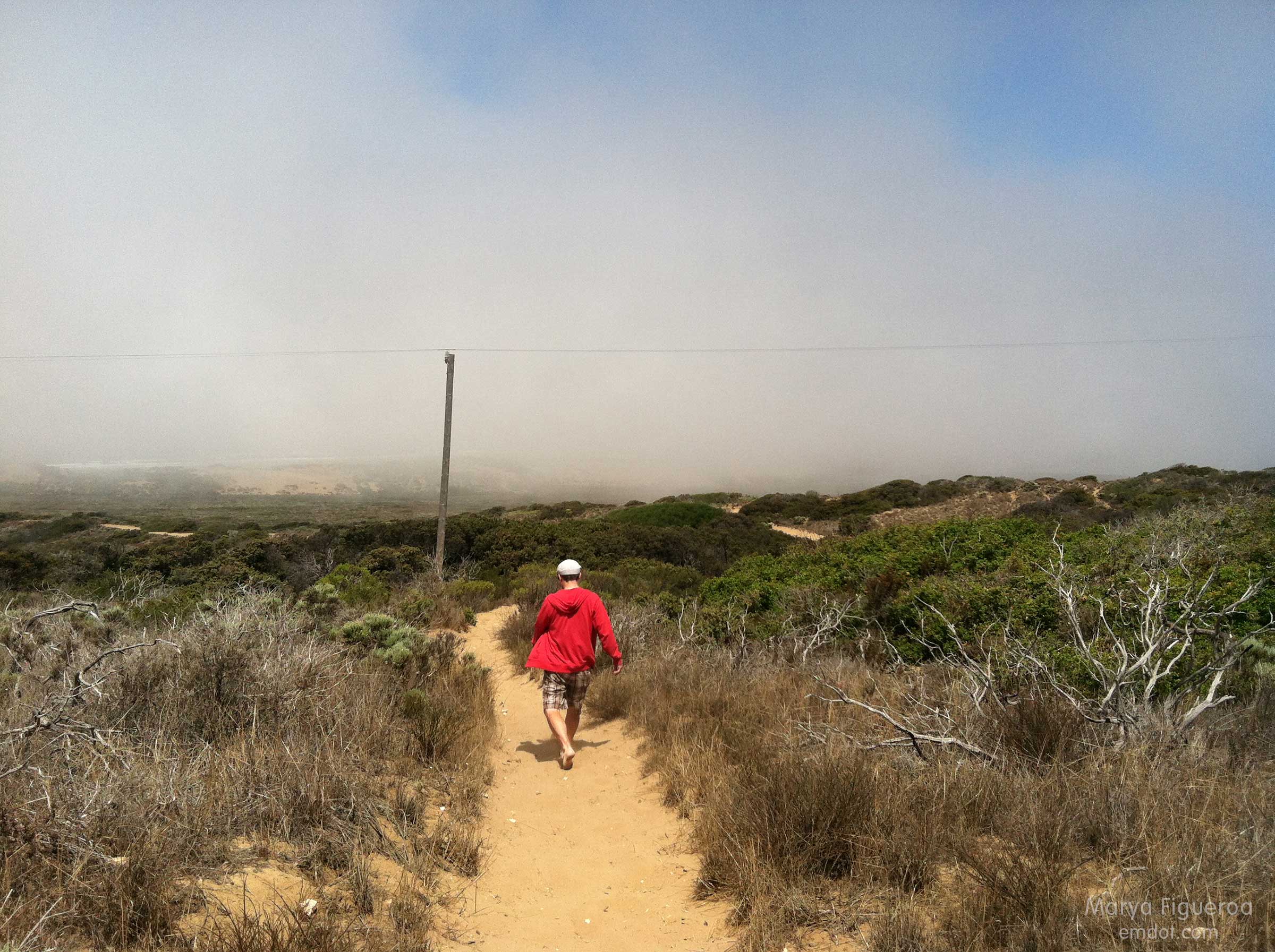
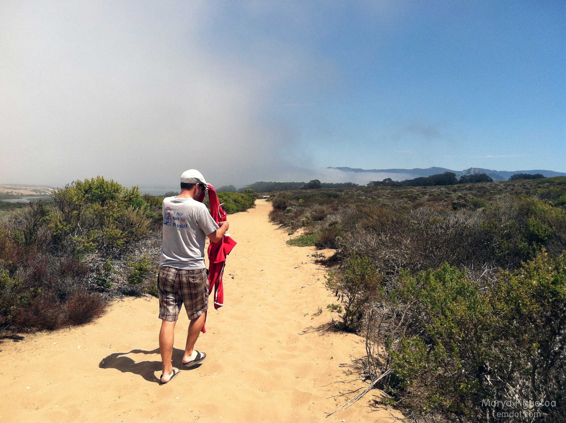
The fog rolled in and out. Sweatshirts came off and then back on several times.

layers on, layers off

the preserves sign
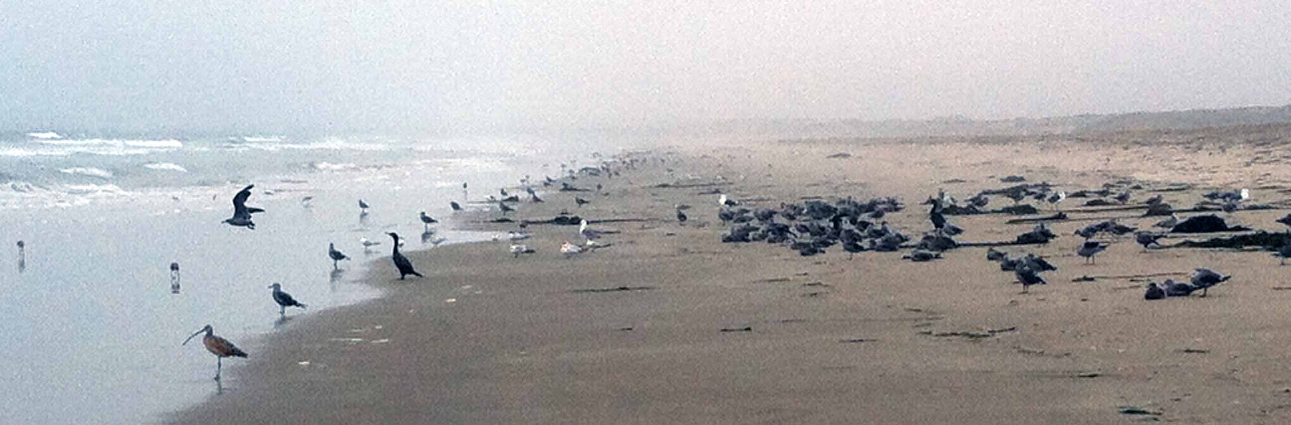
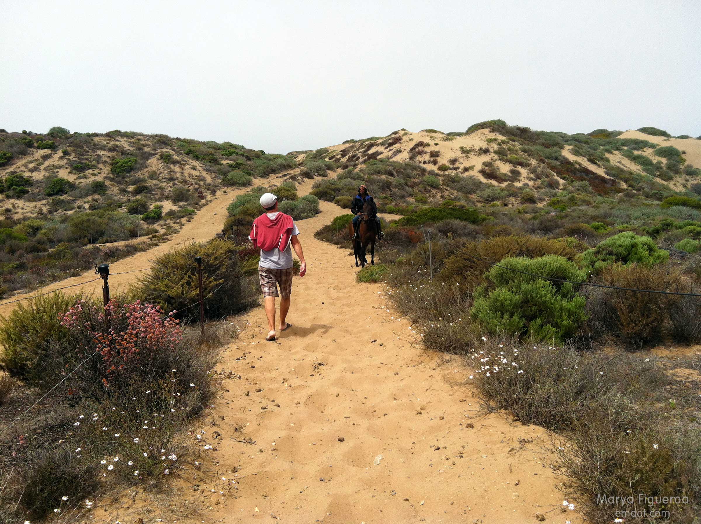
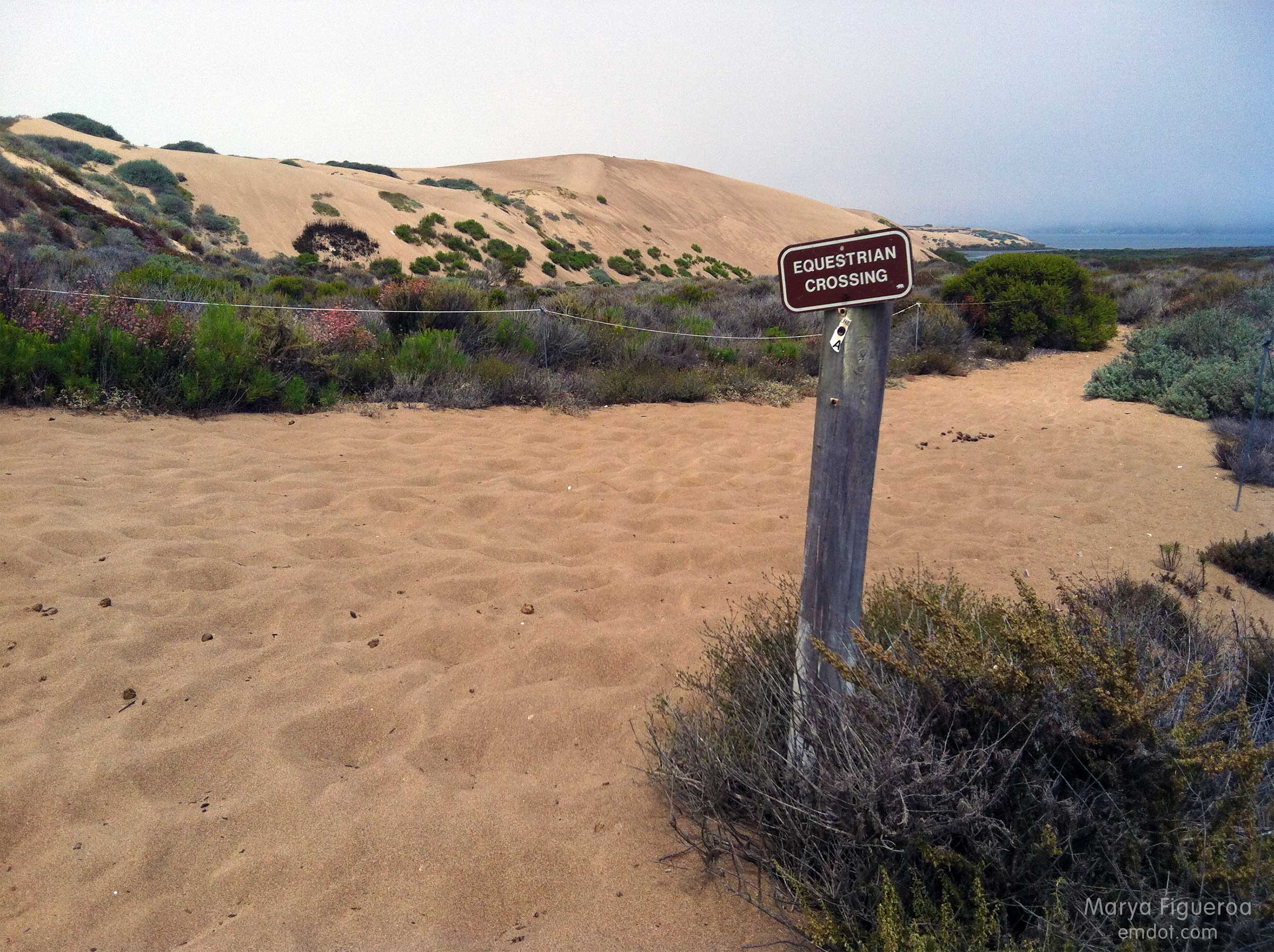
While walking to the beach the only people we saw were on horseback.

meeting the equestrian

equestrian crossing
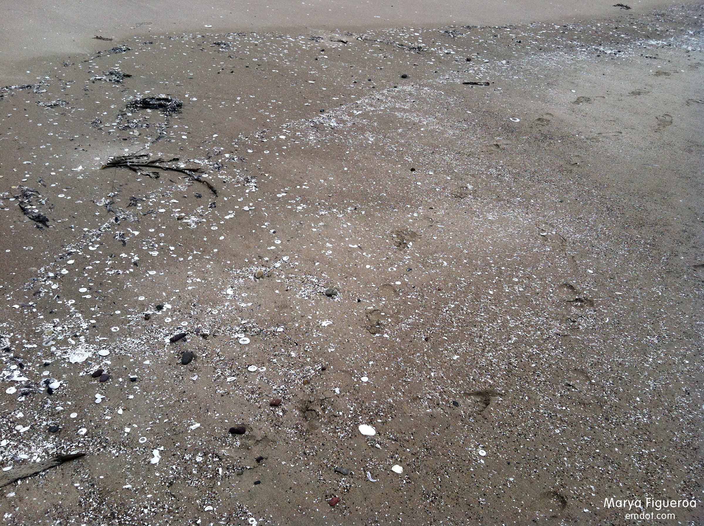
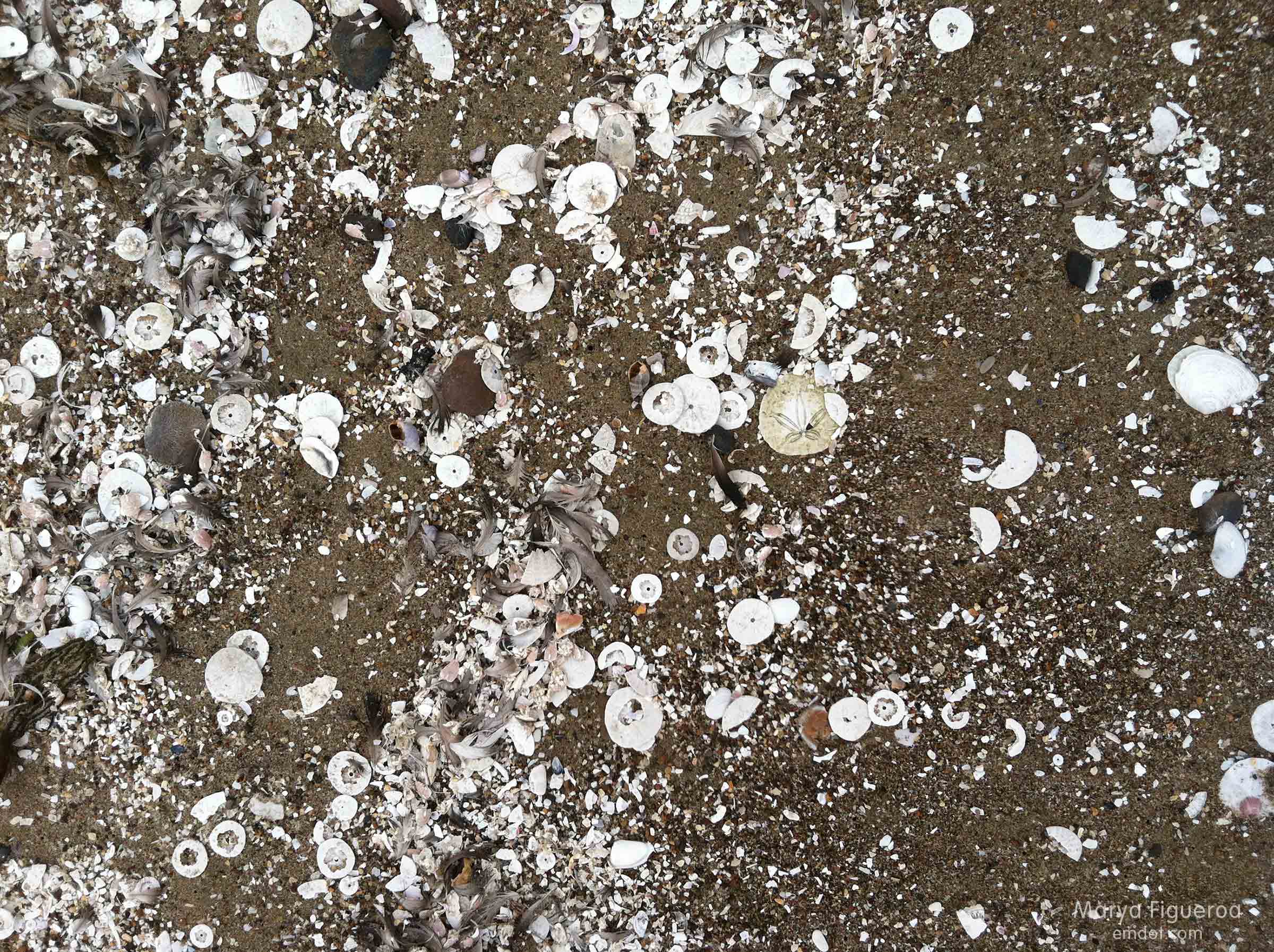
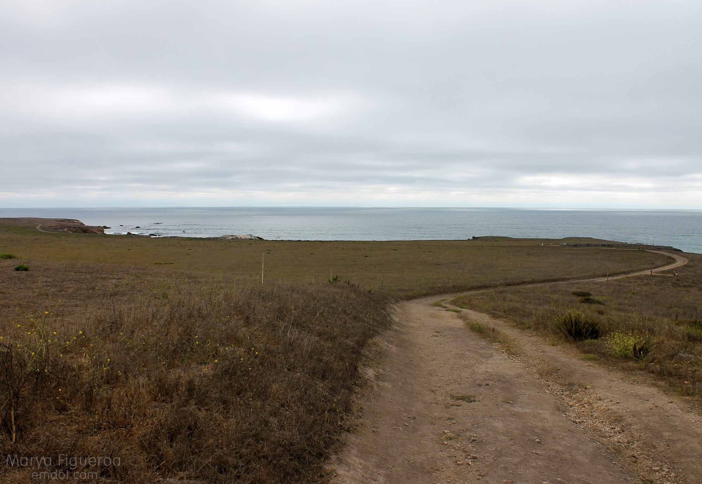
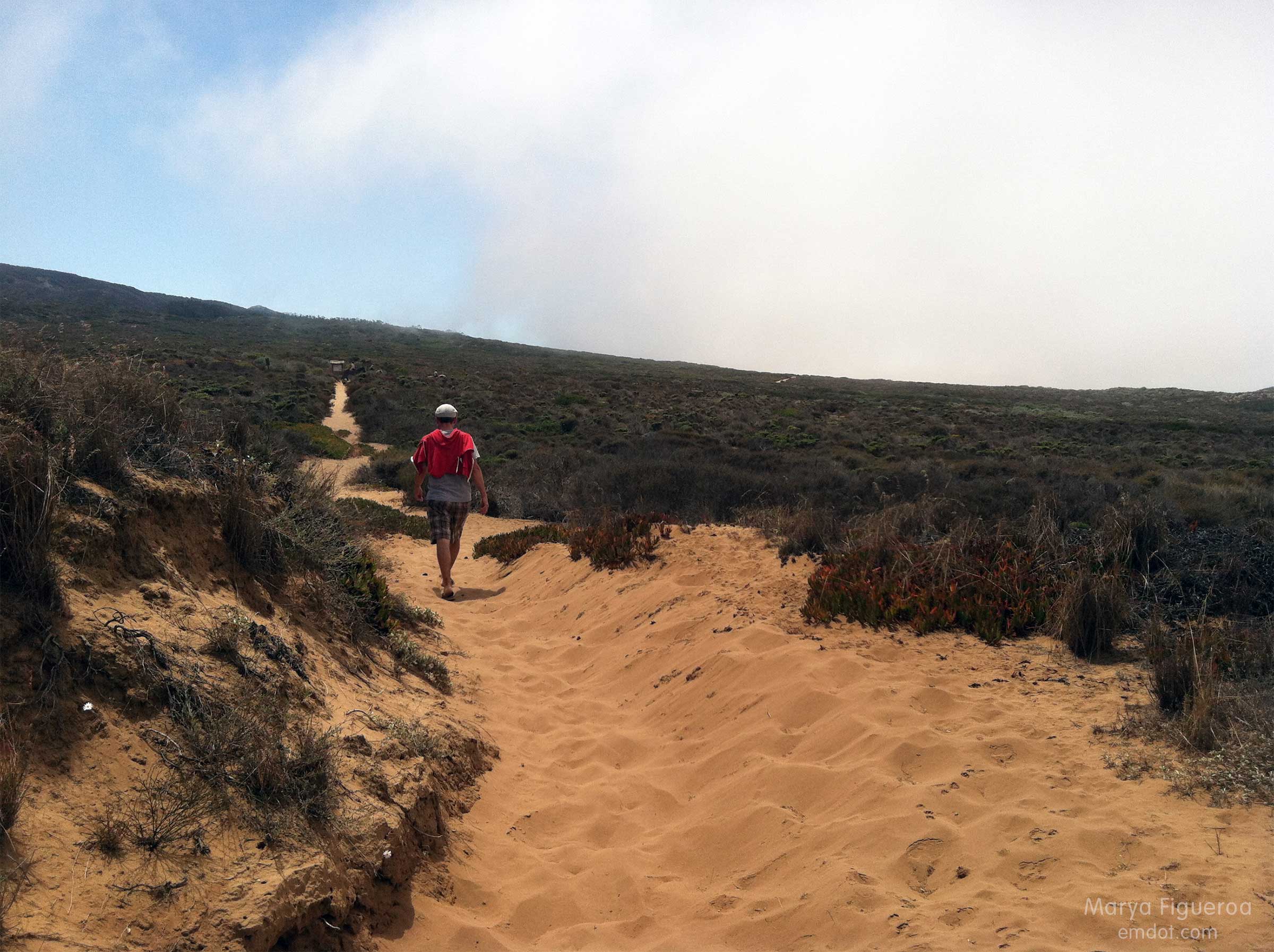
The loose, deep sand carried us all the way to the ocean’s edge. The trail at the beginning of the hike was mixed with leaves and (very small) brittle sticks. Later it turned to silty sand and sharp shale. At the dune it morphed to more traditional sand, but with an awkward and aging black substrate (that I presume was) laid down to fortify the trail base. It was quite sharp and stuck out of the ground at odd angles.

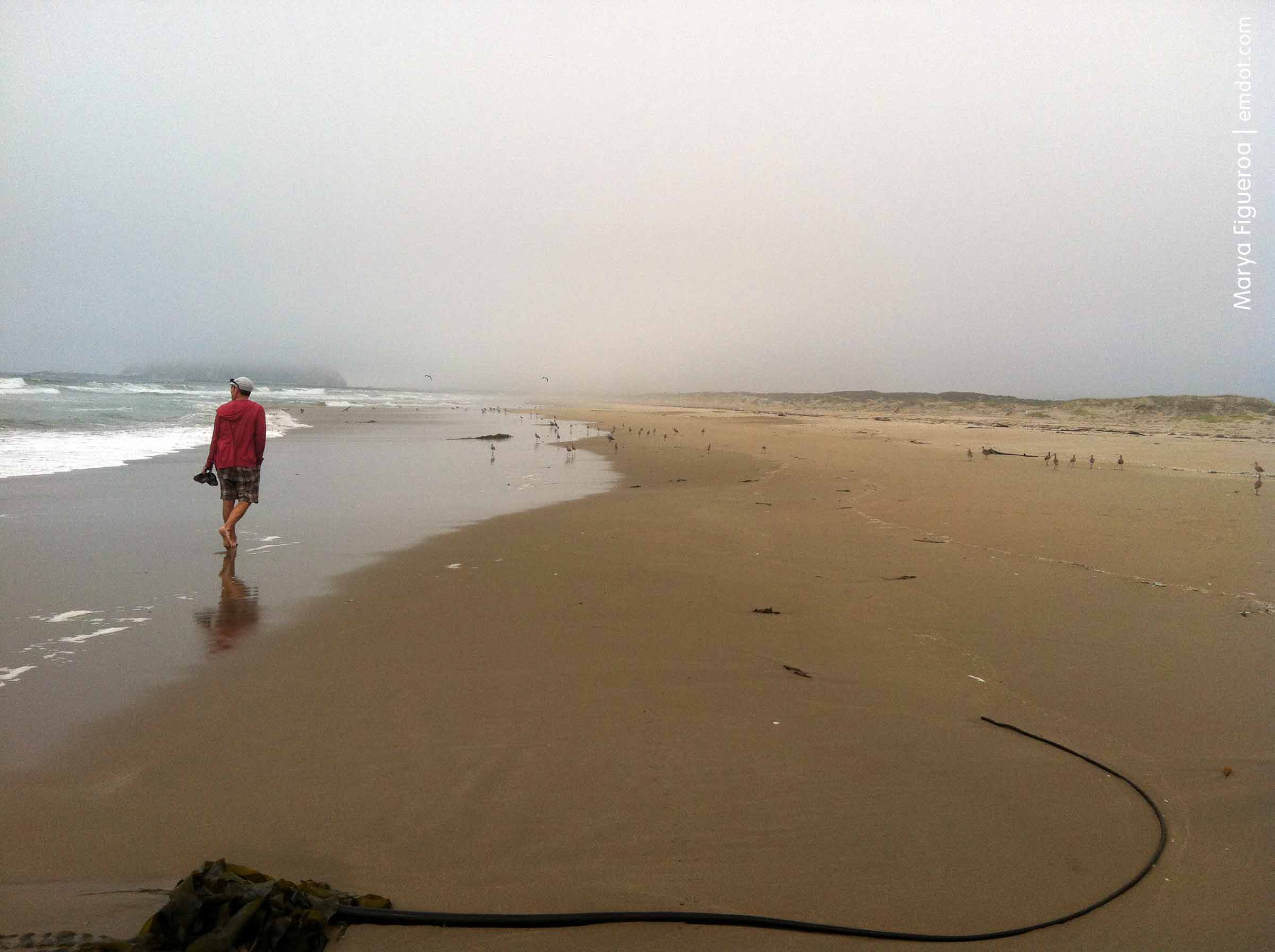
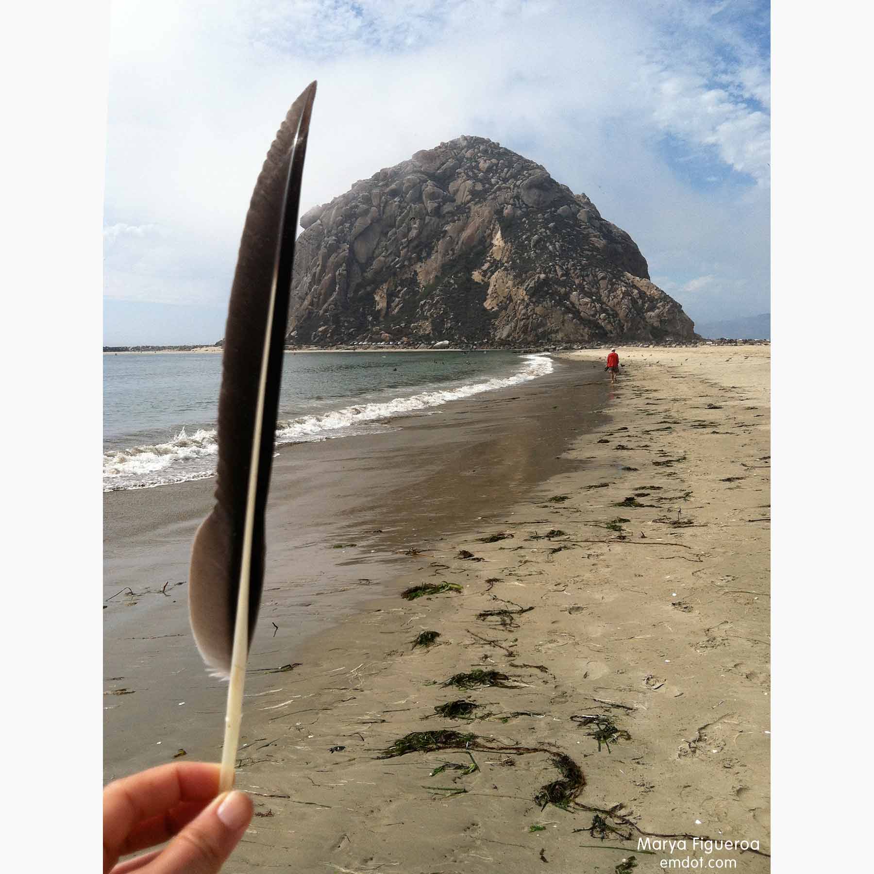
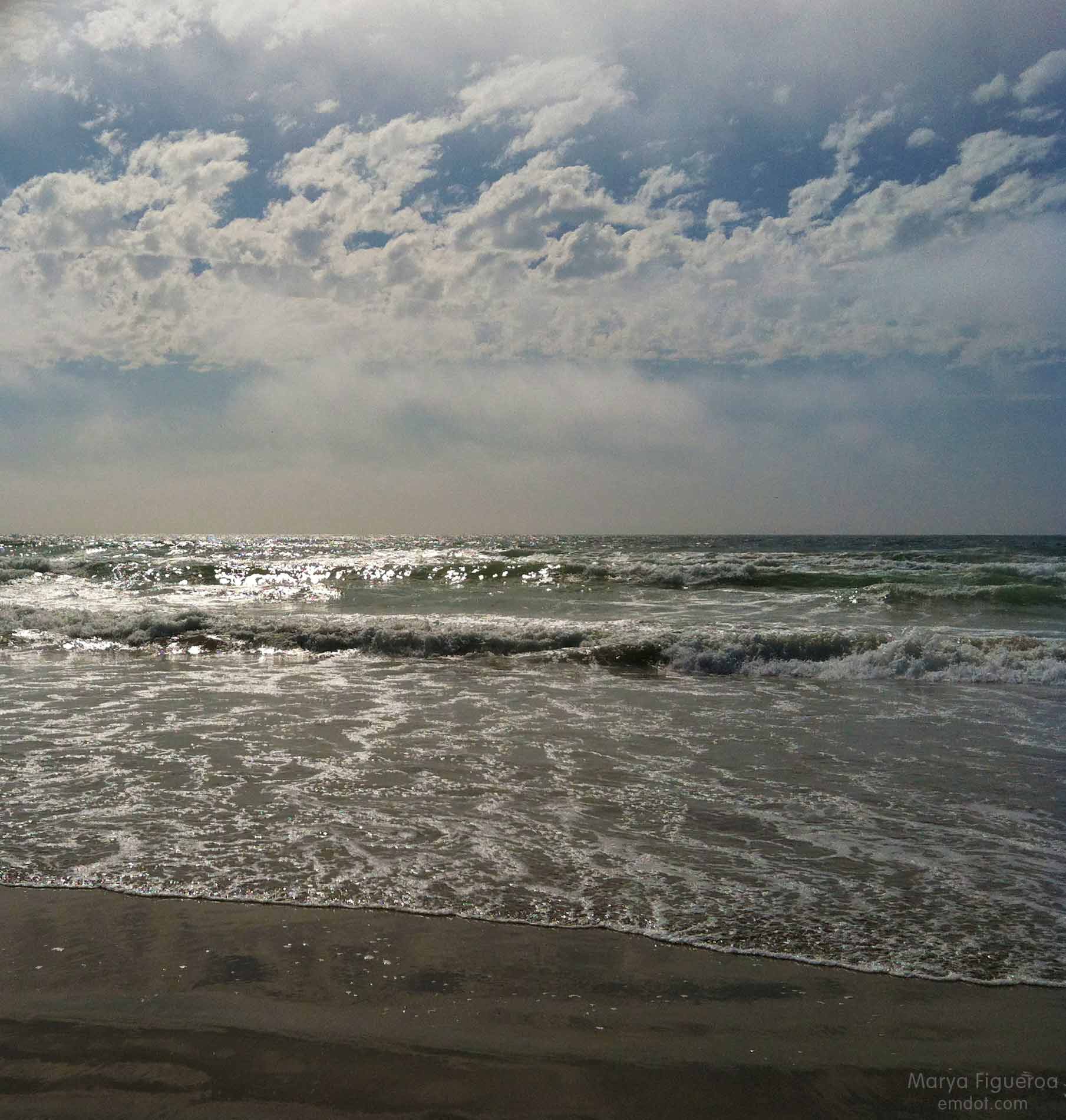
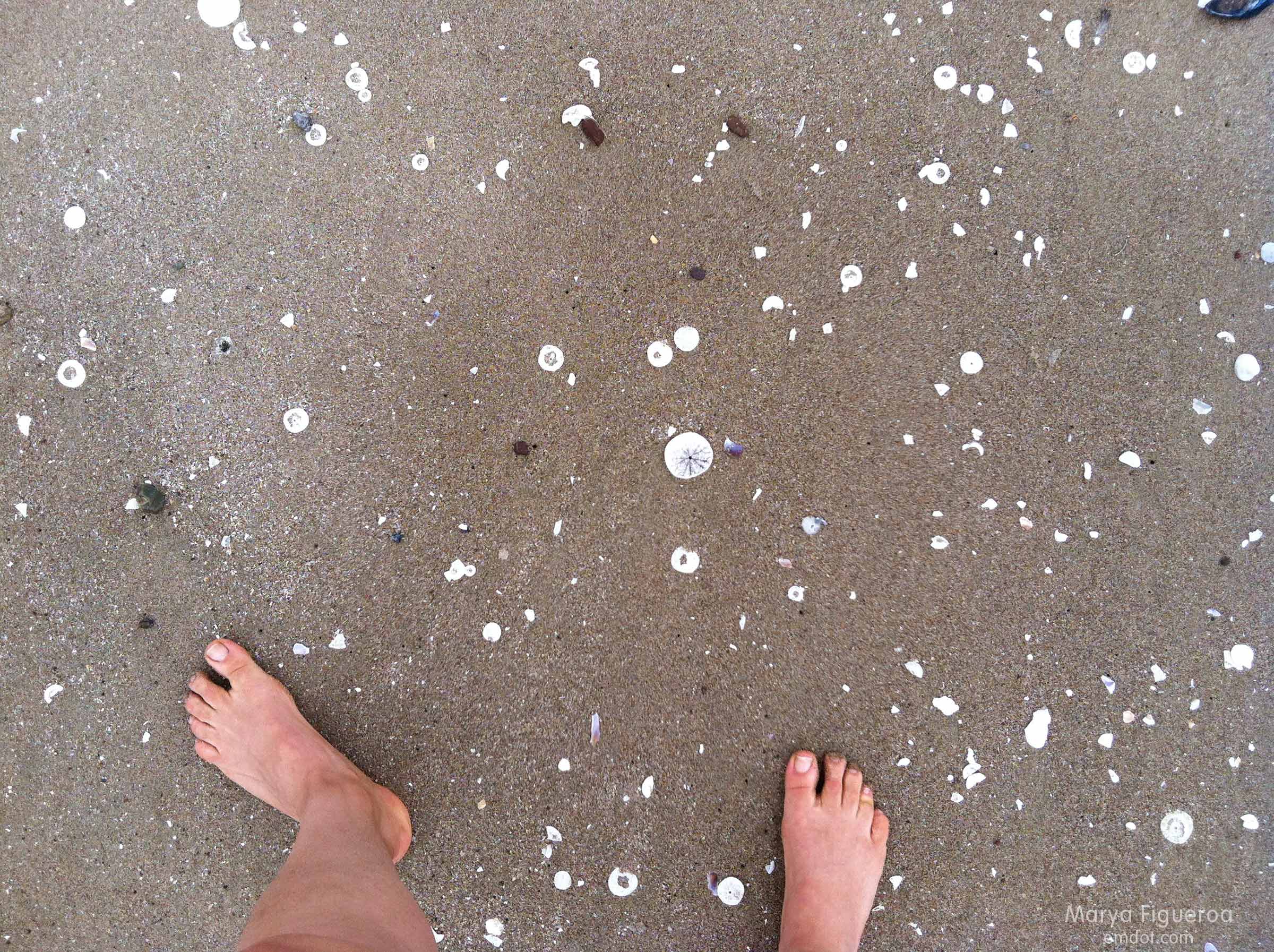
We wouldn’t take off our shoes until we hit the shoreline.

up the dune

the down path
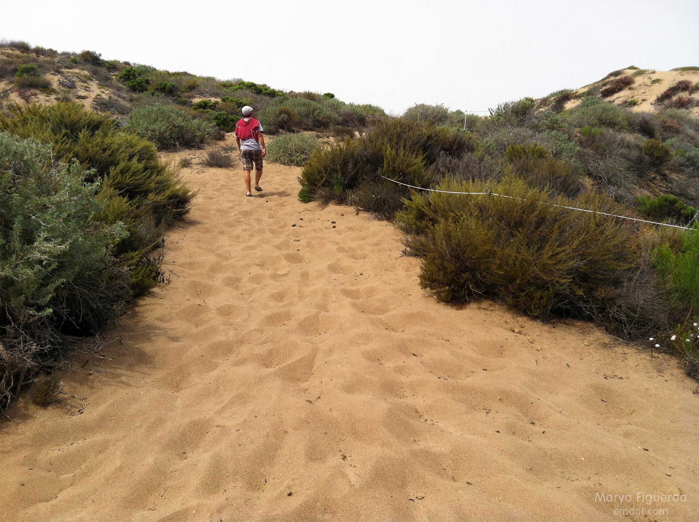
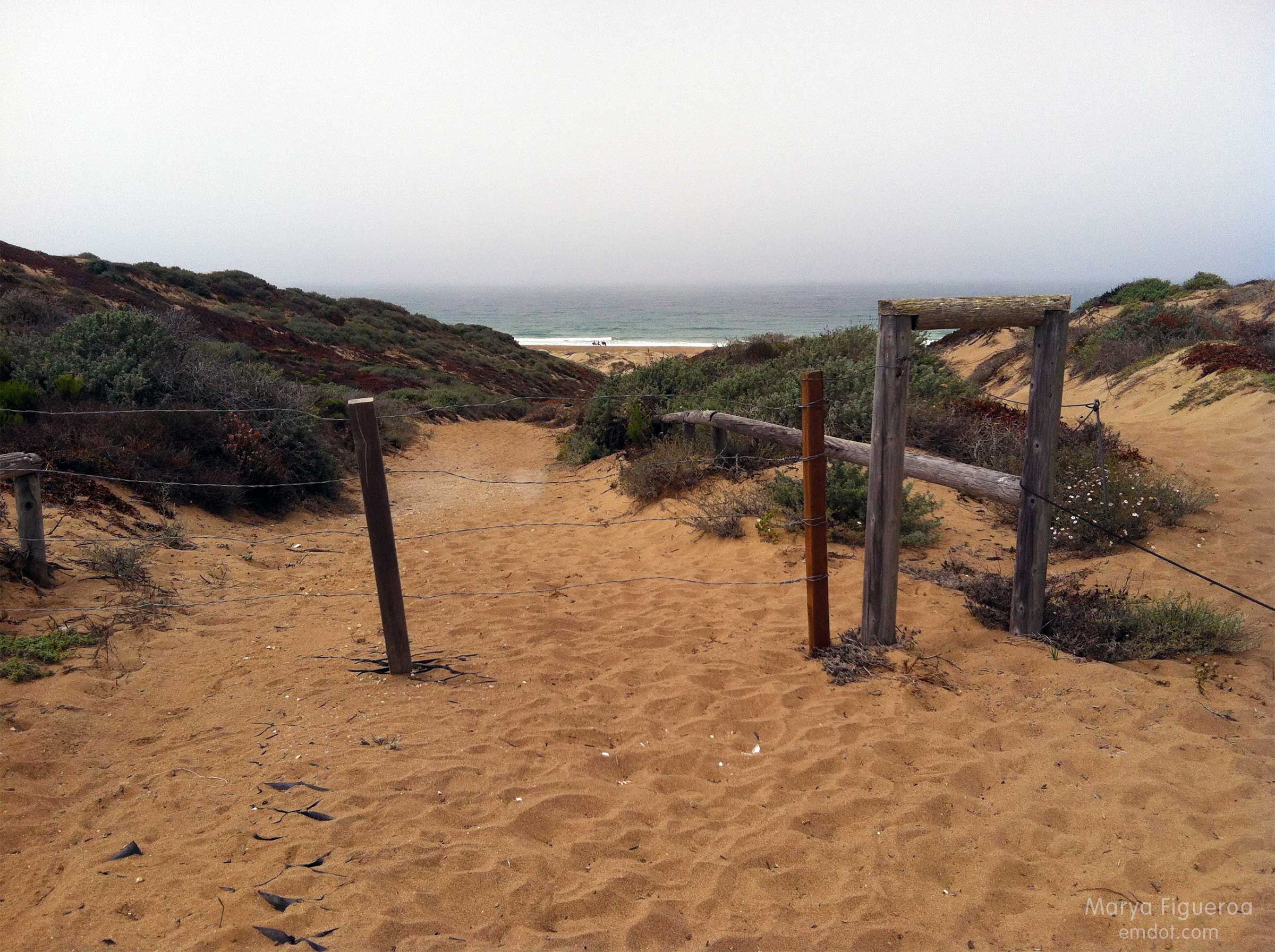
Photo below: At the bottom of the dune on the beach side, looking back up the trail we had just finished.

the road back up
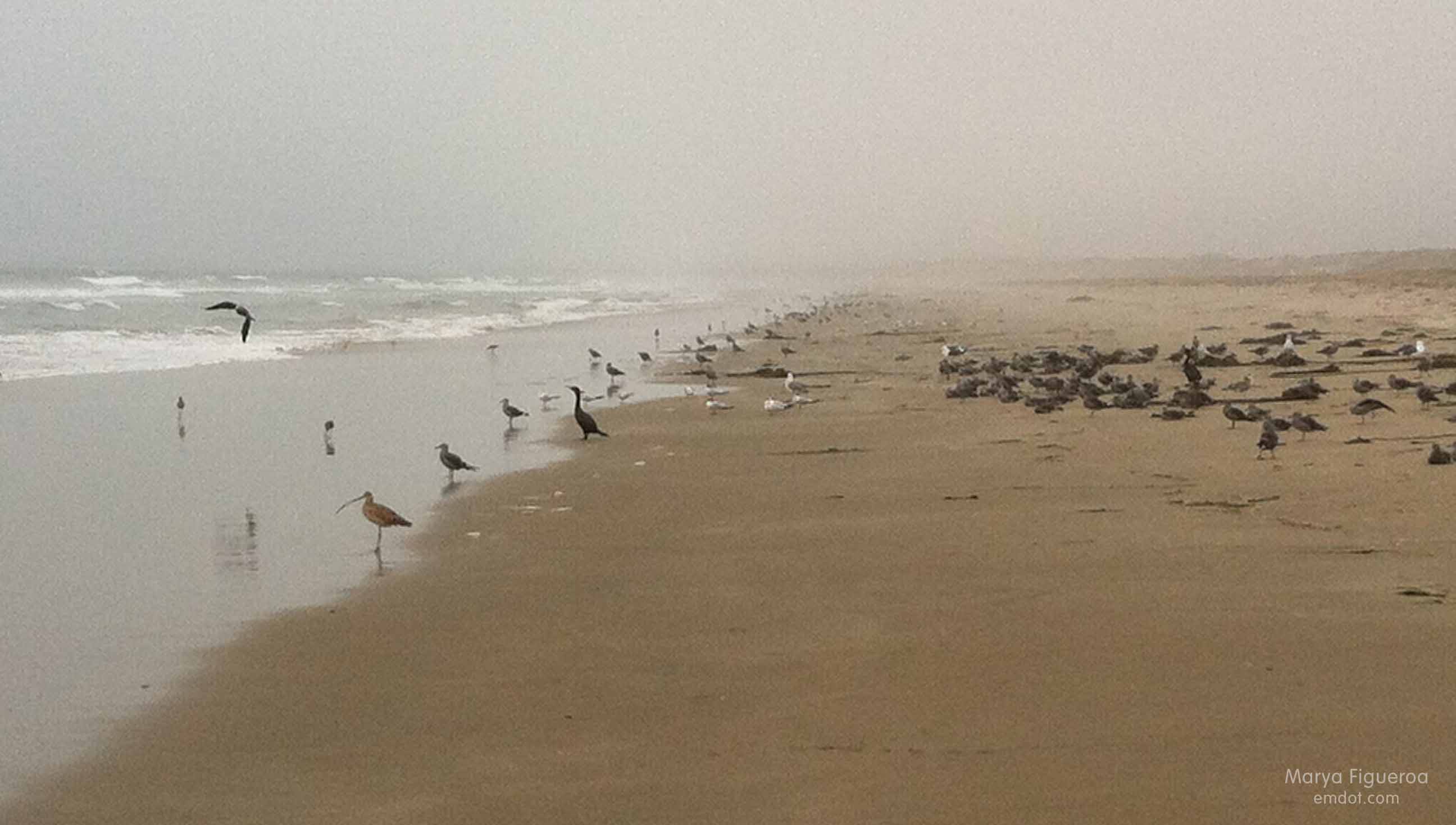
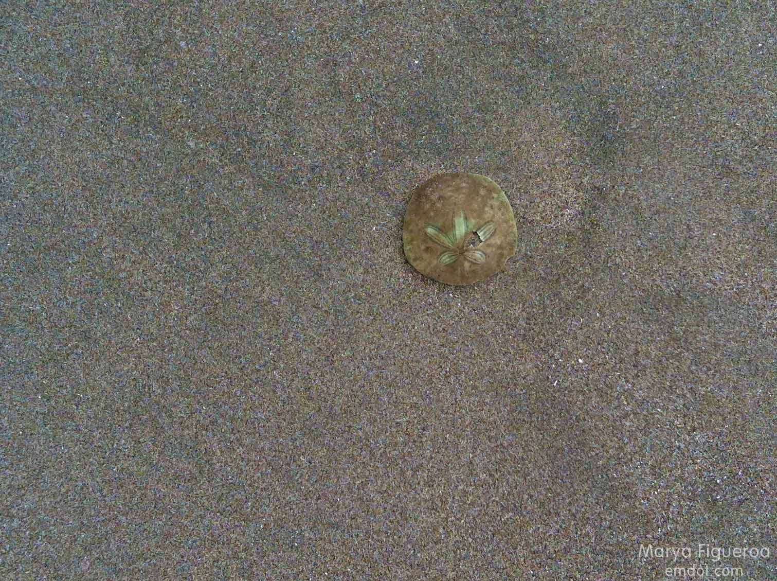
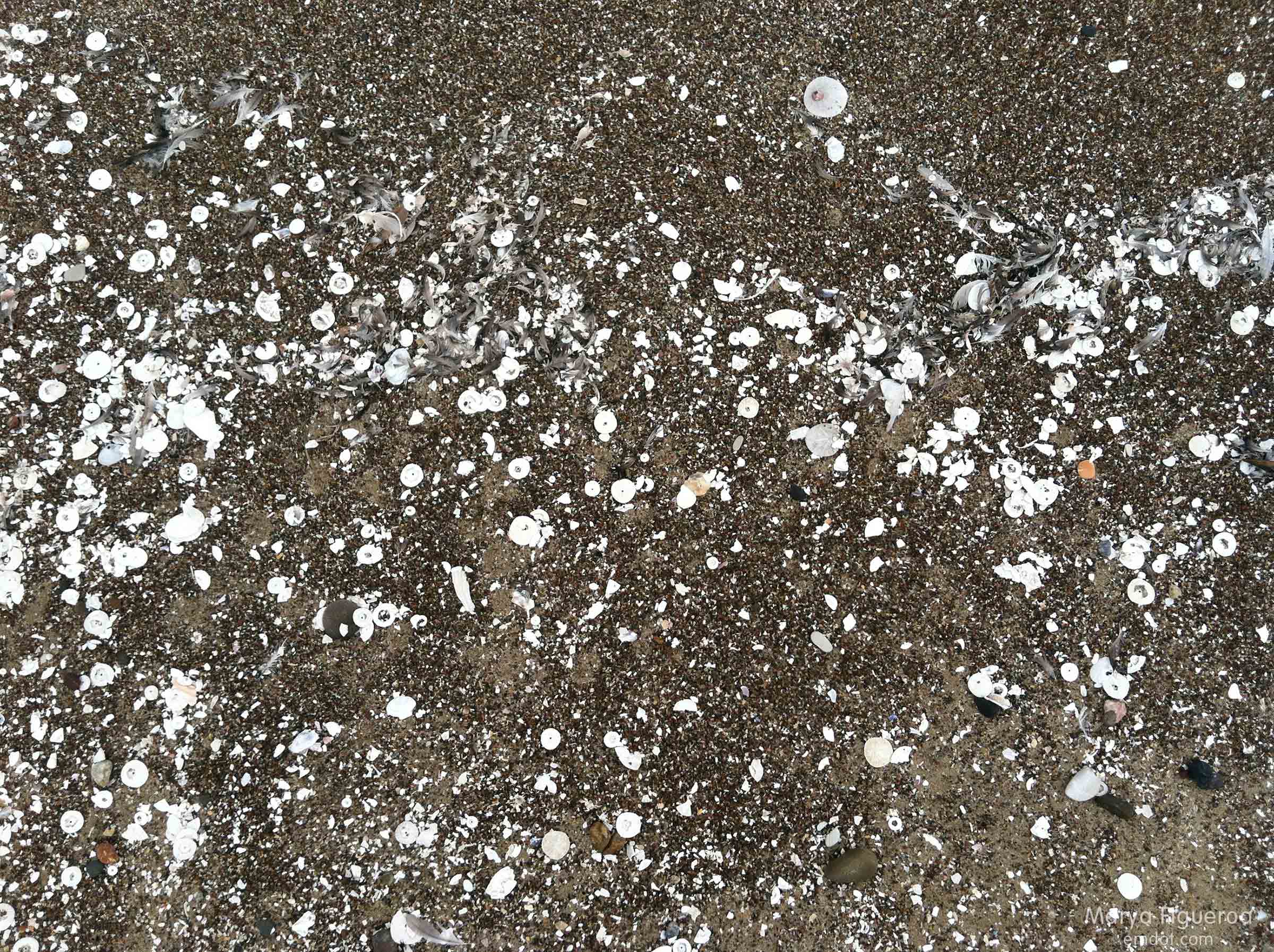
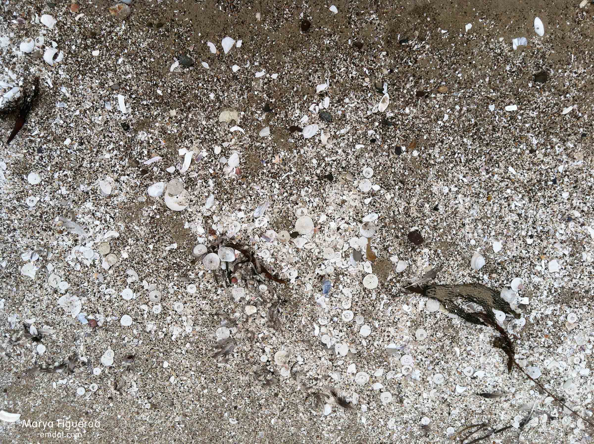
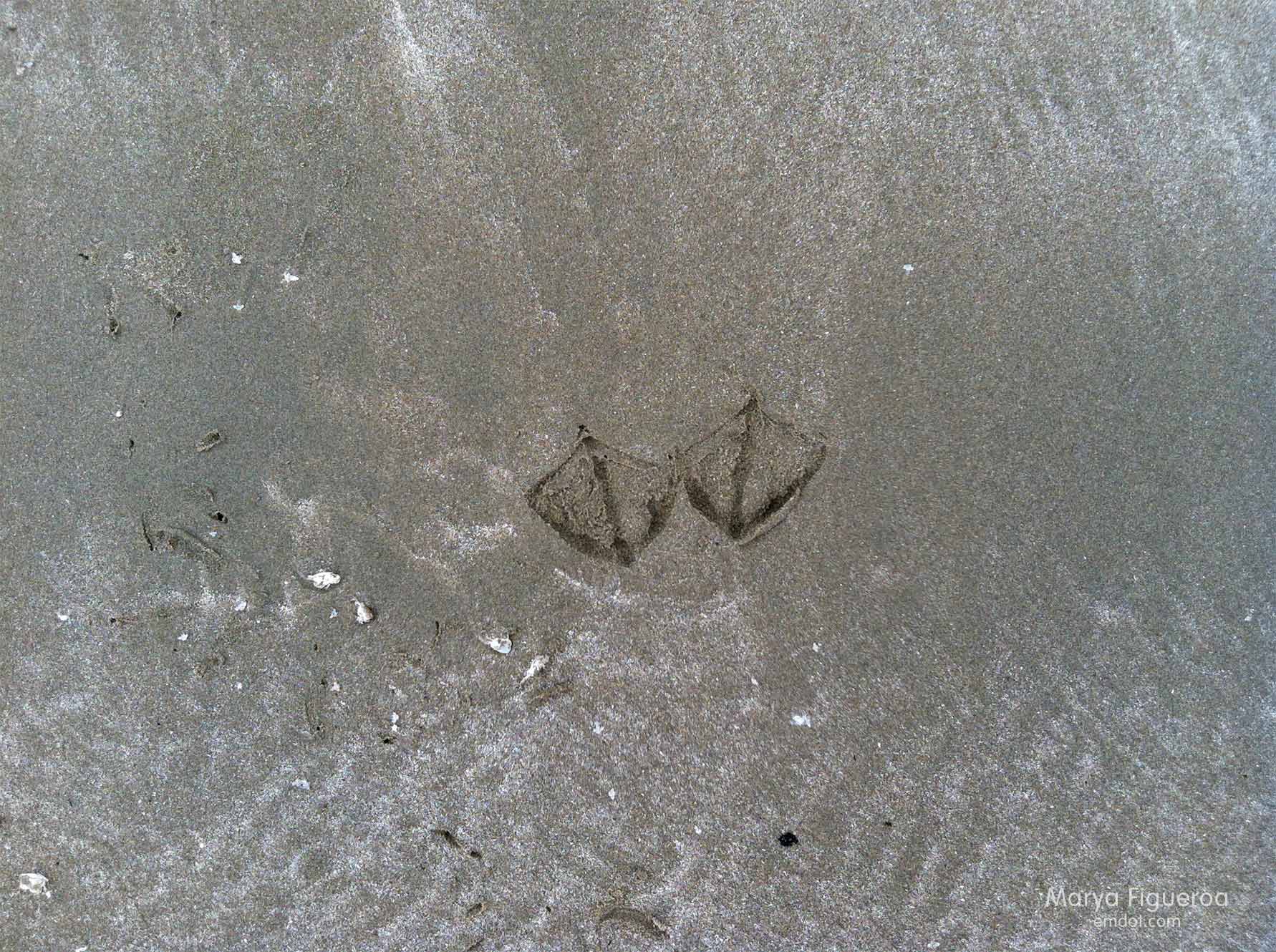
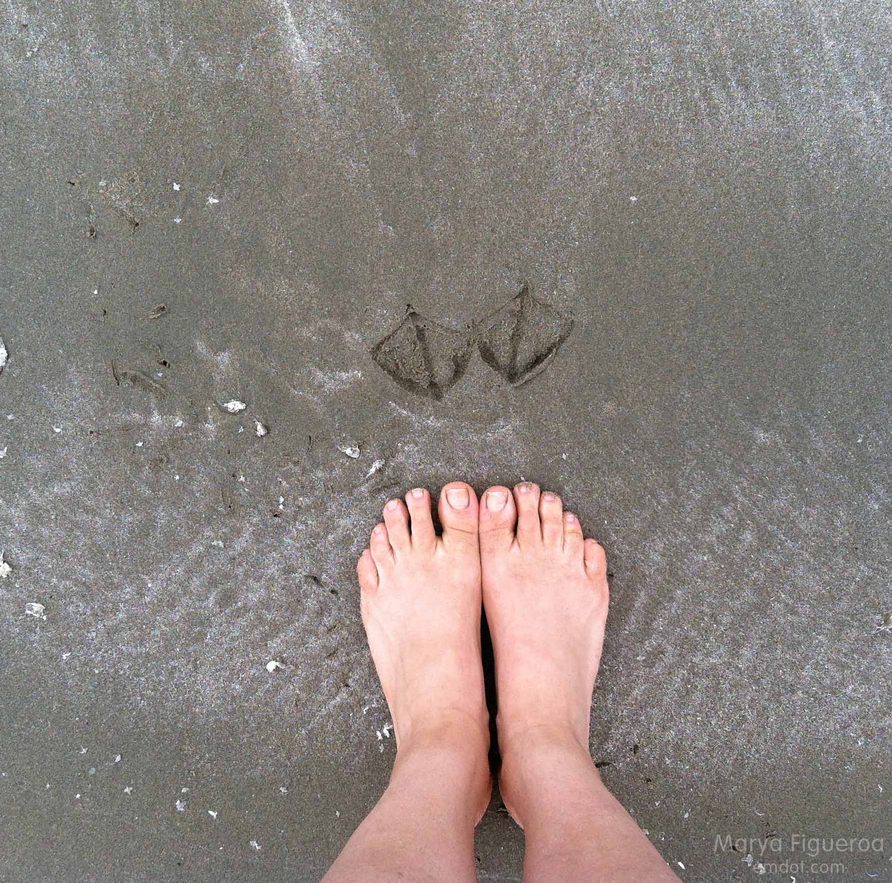
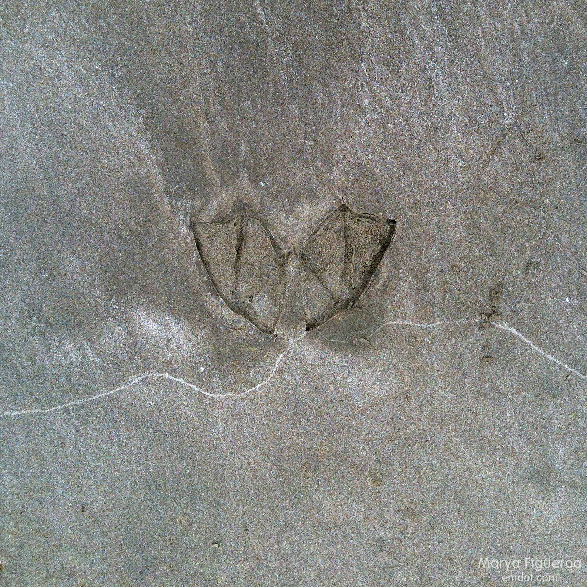
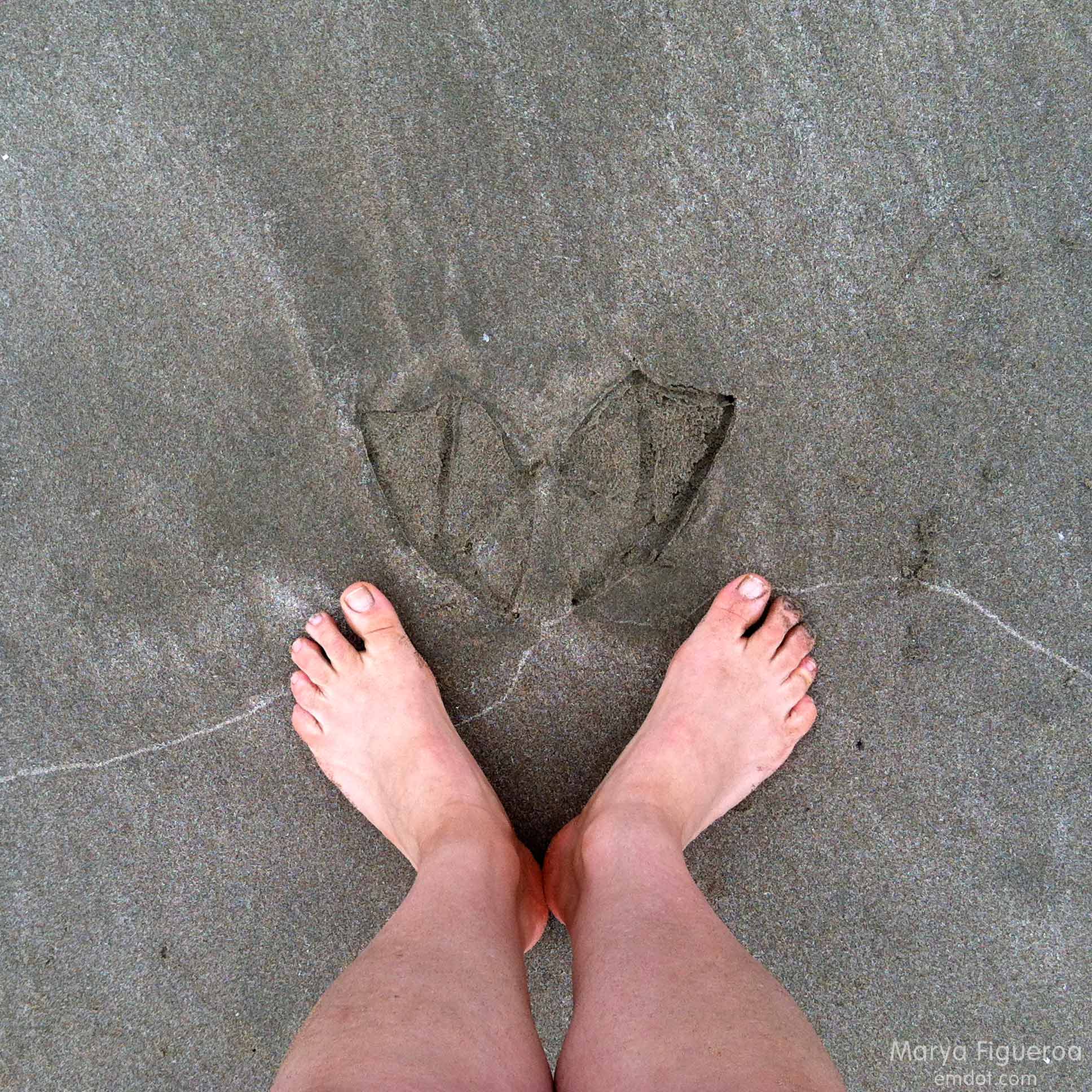
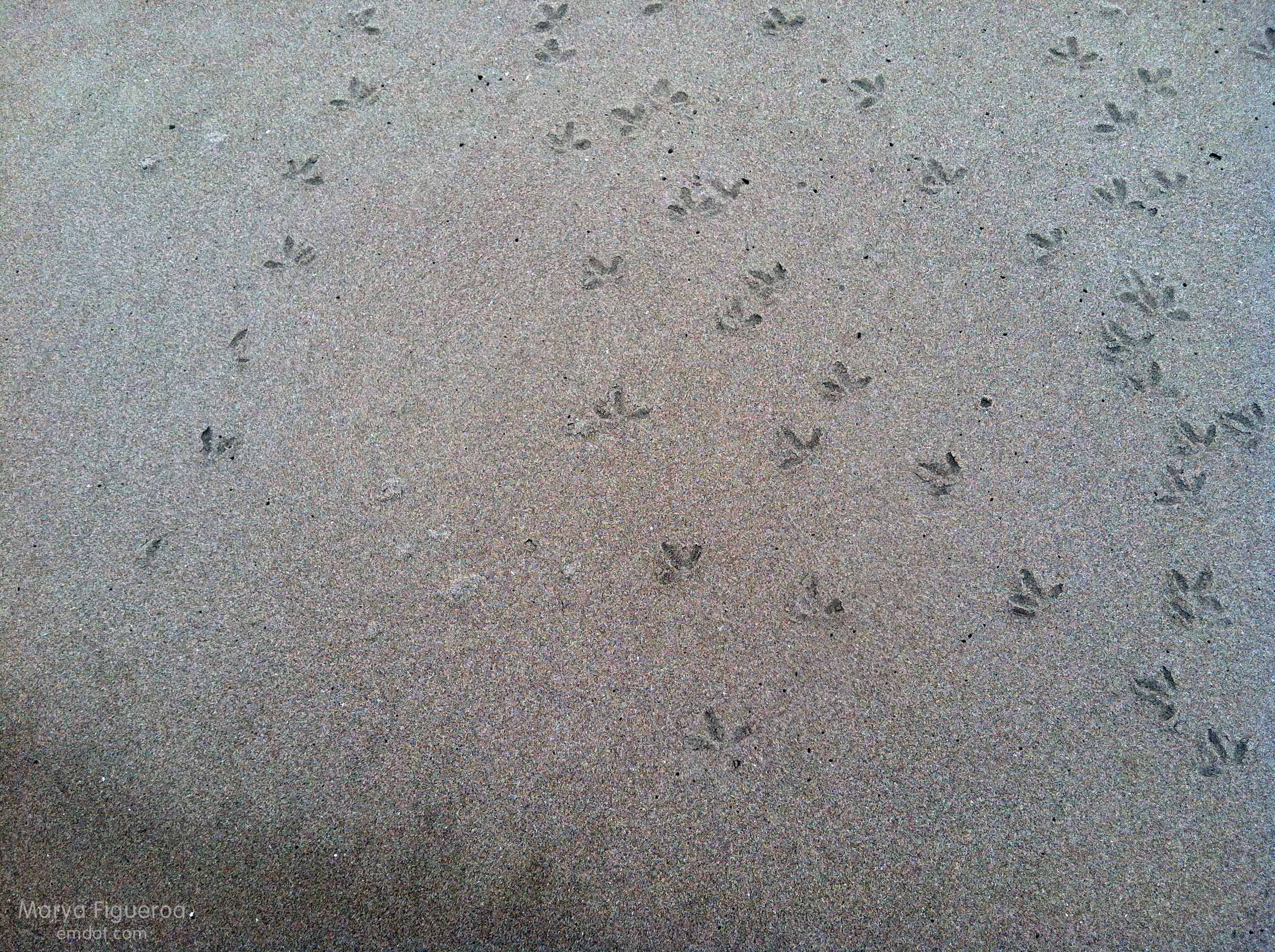
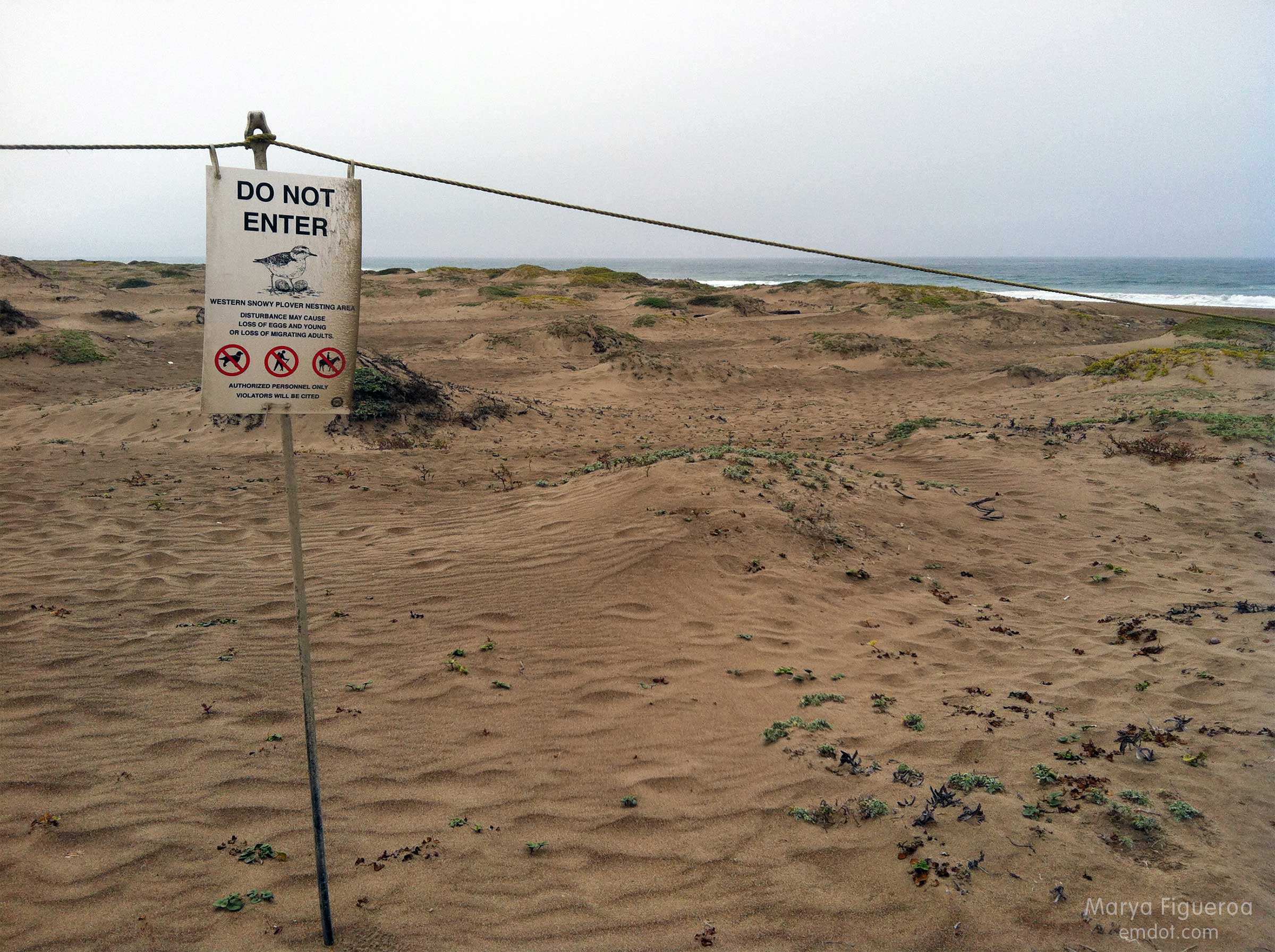
Snowy plovers are adorable, small shorebirds that lay their eggs IN THE SAND. How they have survived all these years is a mystery to me. The central coast takes great care in protecting these cute creatures. Most of the dunes are off limits for many months every year.

protected
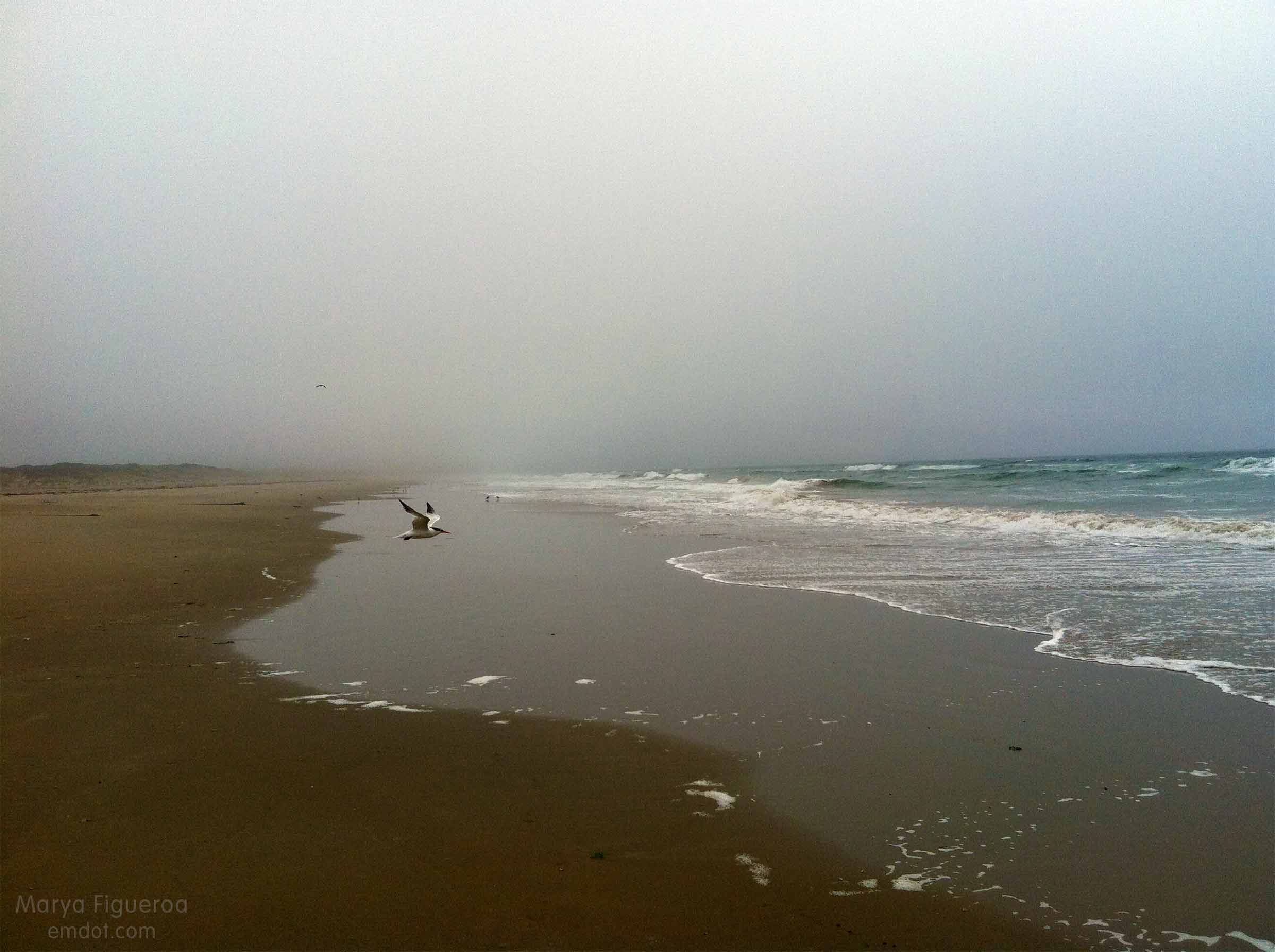
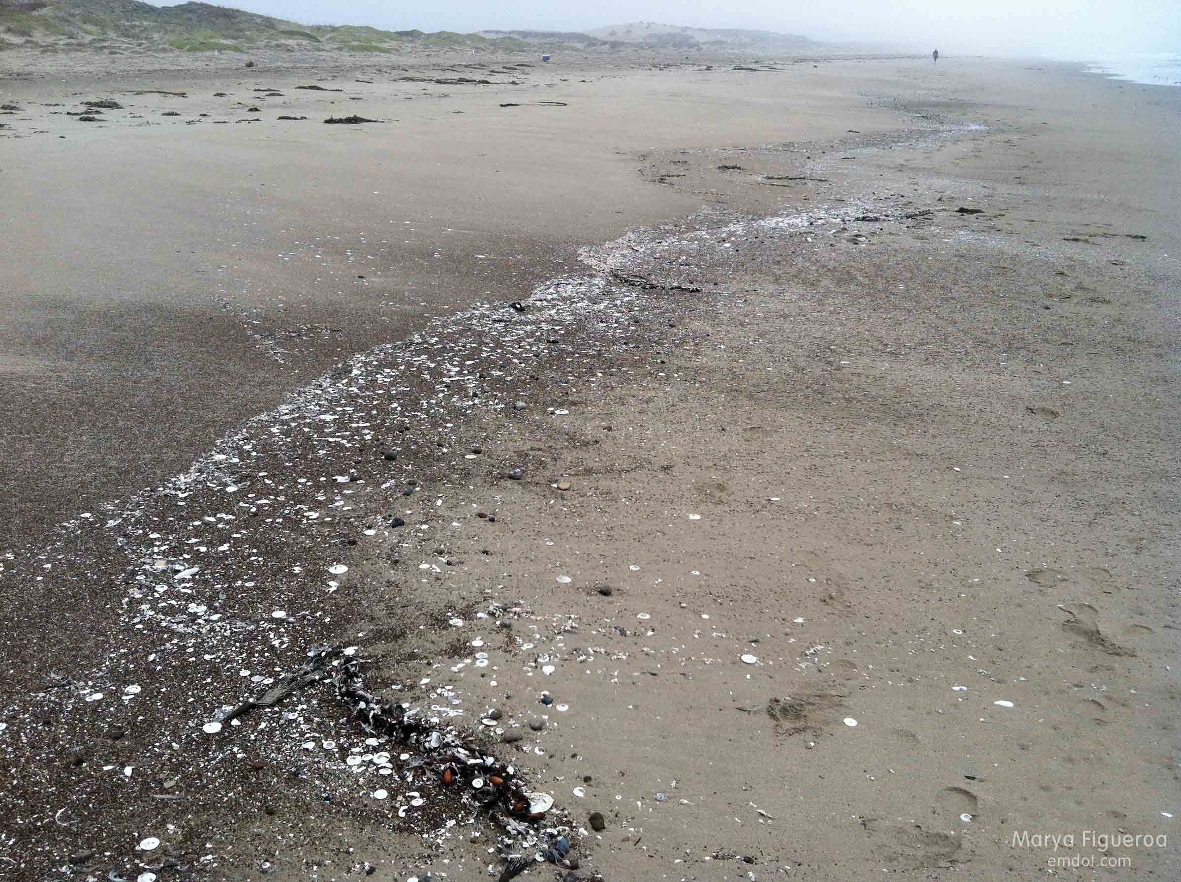
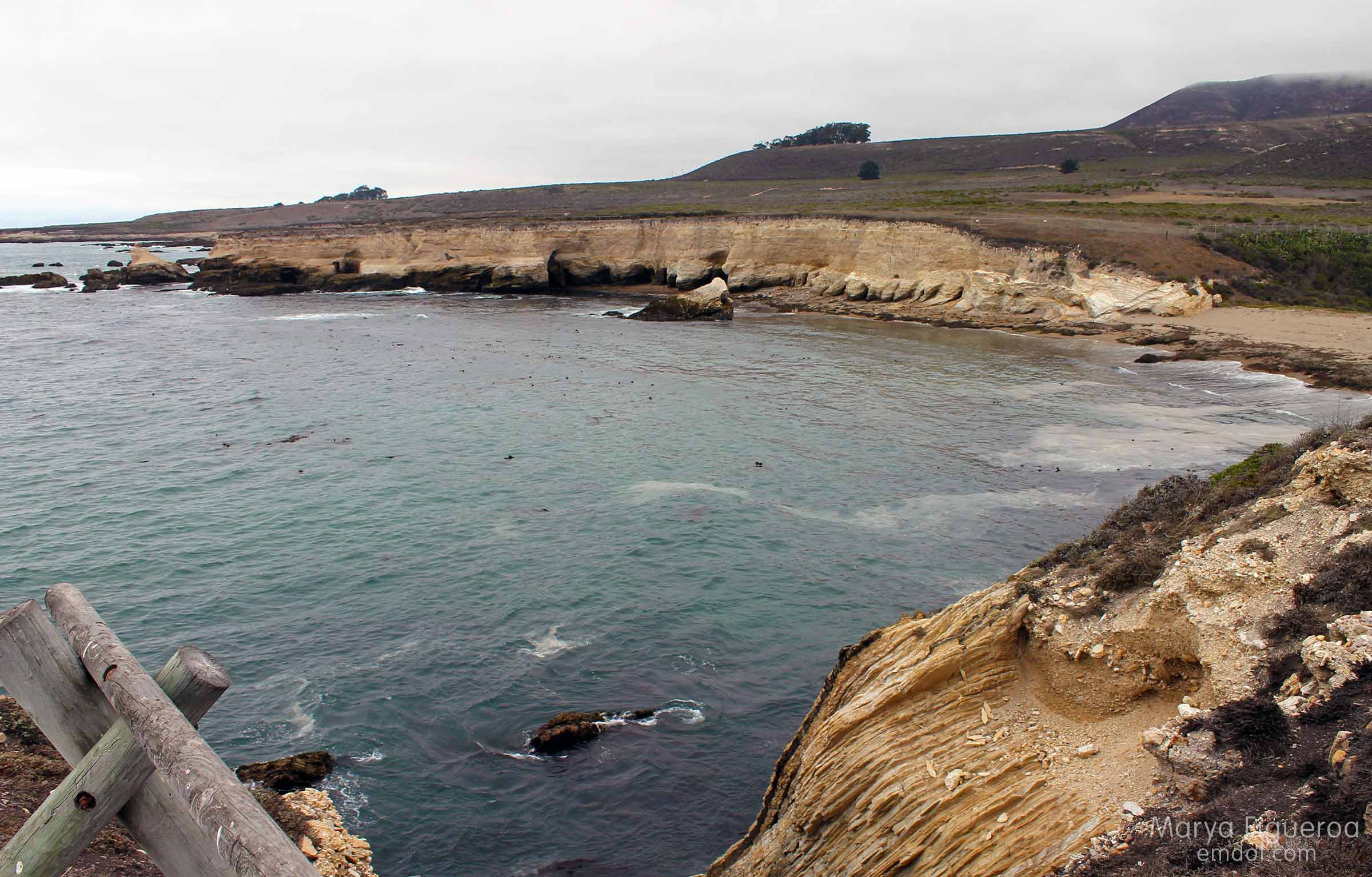
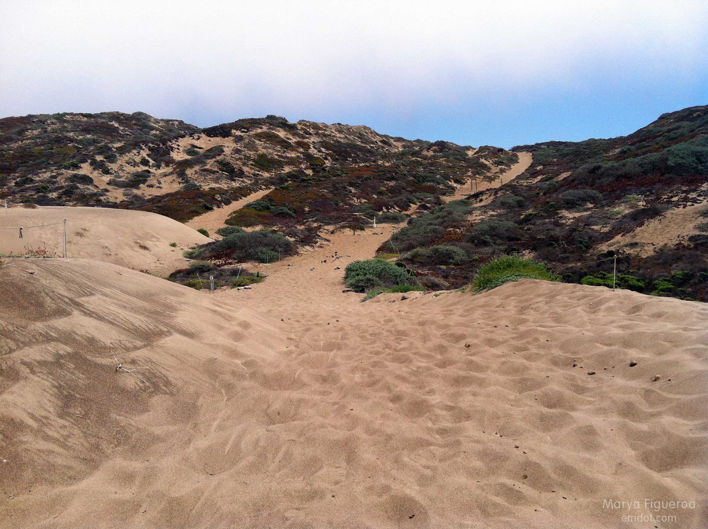
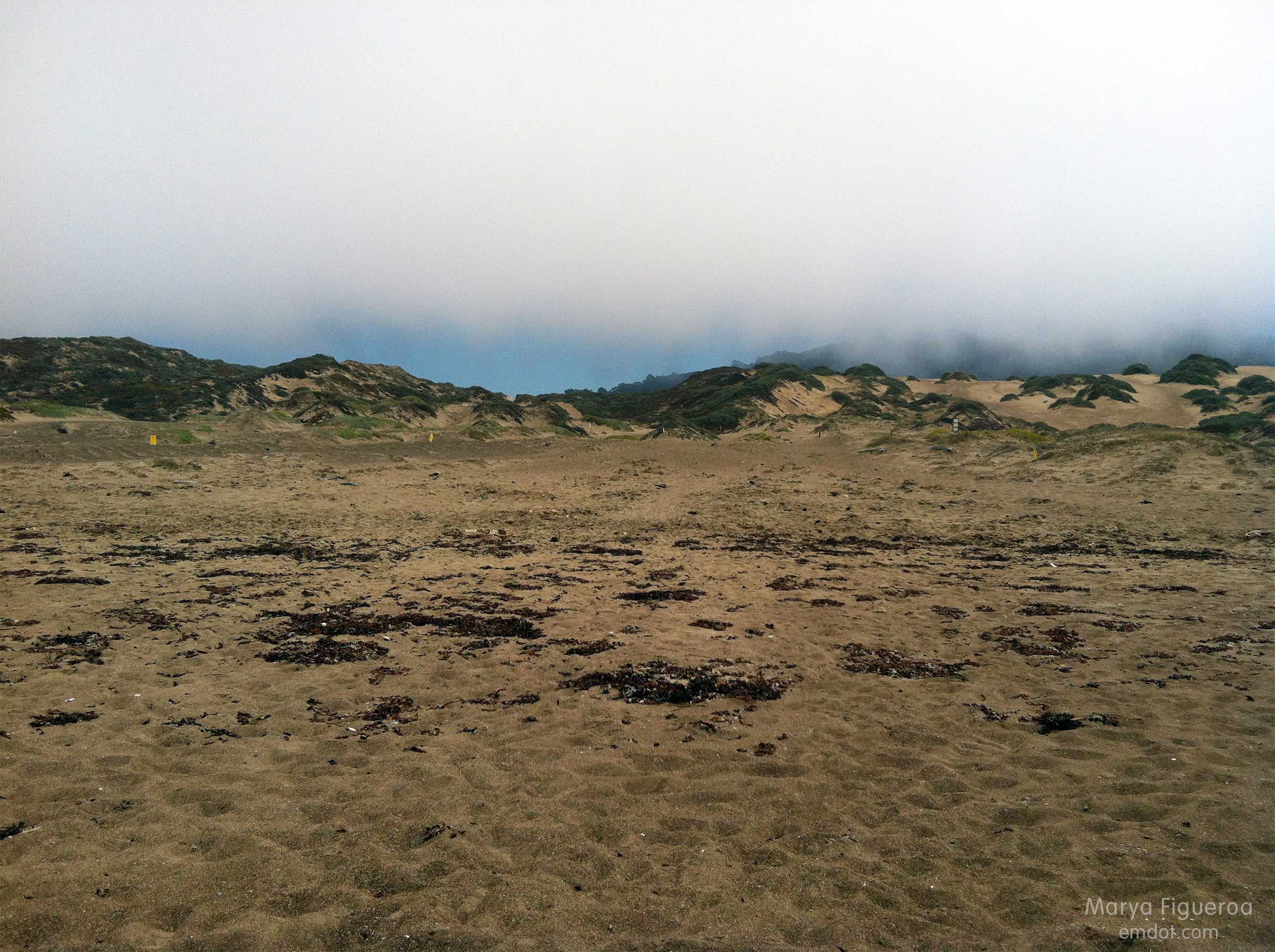
Once we made it to the beach, the big question became “how will we find the trail entrance when we return?” Because: seen one sand dune, seen them all (seriously). Plus it was foggy — we couldn’t see much landscape characteristics in the background. I took the photo below to help us identify our point of entry later. Steve also marked the spot with a big pile of purposefully placed seaweed (not shown).

marking where we need to go back up
Luckily, in the end, we did find our place to hike back. By that time we had eight miles under our belts, Steve’s shoes were causing large welts and blisters, and I was tired, hungry and thirsty. Let’s just say we both kept our heads down and our feet moving forward til we got back to the car.

Then, as luck would have it, some friends were just driving by our car (visible from the road) when we got back. They stopped and shared water, tangerines, deviled eggs and cameraderie. What are the chances? They had been picnicking out at Spooner’s Cove. Man, I was happy to see them. I wish I’d had my wits about me to take their photo, but at that time I was exhausted and wilted. :) Still: thank you Kristin! Thank you Bret! It was a great way to end the day.

Peak a Week #22

Point Buchon

Point Buchon

Week 20. August 4th. Point Buchon is at the southernmost tip of Montana de Oro state park, but is run by PG&E (they own the property). It’s only opened a few days a week and only for a few hours at that. You have to sign in at a kiosk with your id, address and the like. We got there late and only had 45 minutes to tromp out to the point or to the sink hole. We hustled off wanting to get the most in as we could.

Check in here

take care

Is it bad to say it’s not my favorite hike in MdO? It’s flat. It’s a bit barren. It’s probably better in the spring time. But it was still nice to be outside, to be there, to see the birds, and to get some exercise.

Point Buchon

Keep on path

Point Buchon

Cormorants

Pelicans and people

Pelicans overhead

The sink hole used to be a cave until its roof caved in. I don’t know what you would call the “roof” that remains to the cliff…. Is this a natural bridge? I’m not sure. But it seems to be slowly eroding away as well. Some day (in our time?) this will be a cove.

family and sink hole

sink hole

In the image below I’m standing at the westernmost part of the sink hole, looking towards the MdO Bluff Trail. The beach is still part of Point Buchon, but the cliff above it is Montana de Oro proper.

Point Buchon

from Point Buchon

Trail back

After our hike (we got back just in the nick of time), I still needed 2500 steps to make my FitBig daily requirements, so I talked Steve into doing a little of Coon Creek. Coon Creek is the lushest part of MdO, riparian and dense in foliage. Or it was. There was a (controlled?) fire that took out the lush trees leaving burned out bark and bare hillsides.

burned coon creek

burned coon creek

burned coon creek

hike_080413_26

It will be interesting to see how the vegetation comes back in the months and years to come.

On our way out we were so wowed by the sight below that we pulled over to take a quick pic.

sand spit to the rock

This made an impression on Steve, I think, because walking the sandspit from MdO to the rock and back became his mission and you will see it featured in an upcoming blogpost. A hike and a beach in one. I hope you’ll be back to see it.